Kyme Eau
Lake, Pool, Pond, Freshwater Marsh in Lincolnshire North Kesteven
England
Kyme Eau
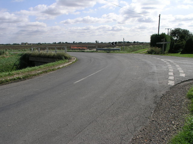
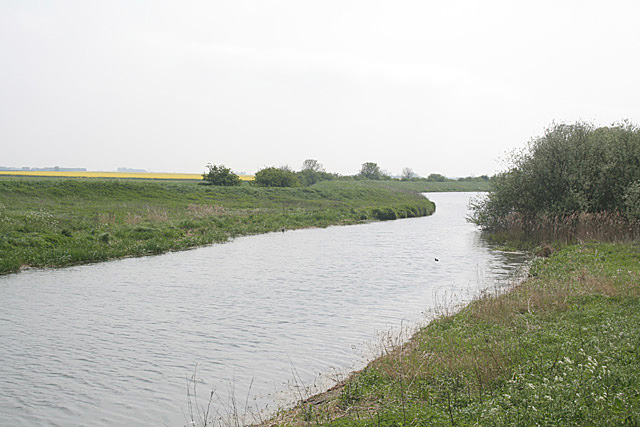
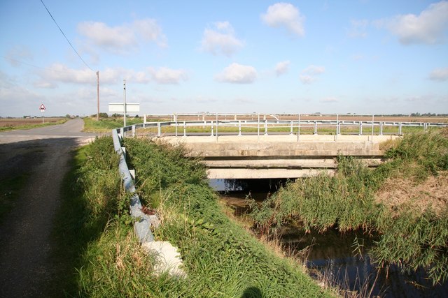
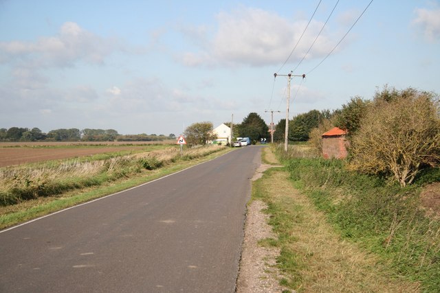
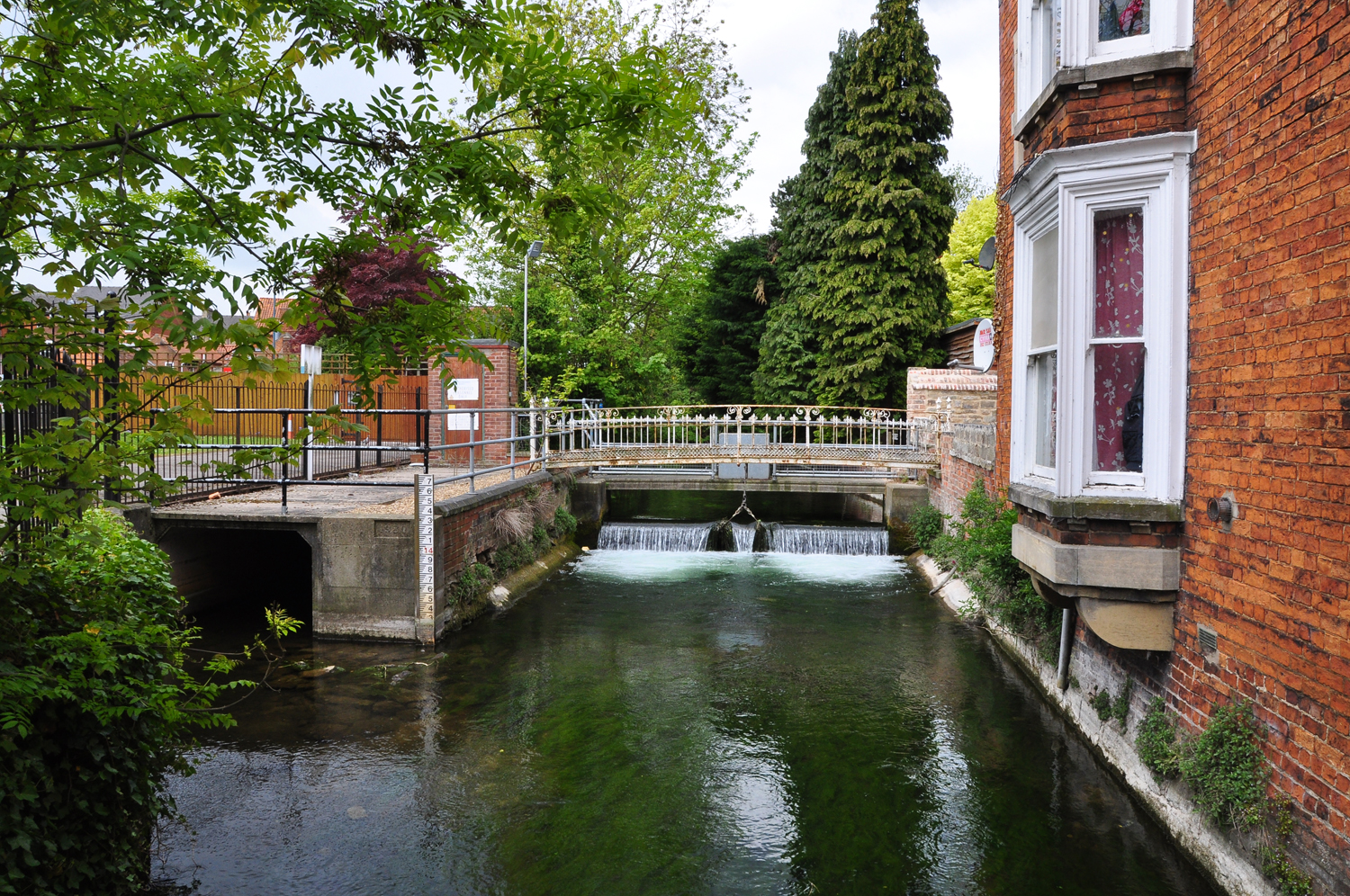
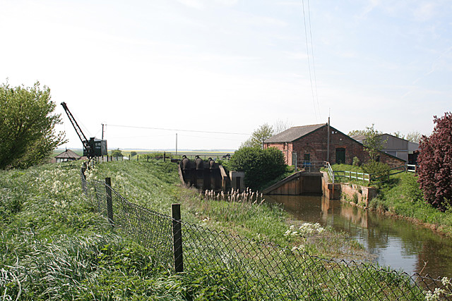
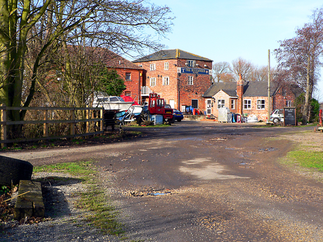
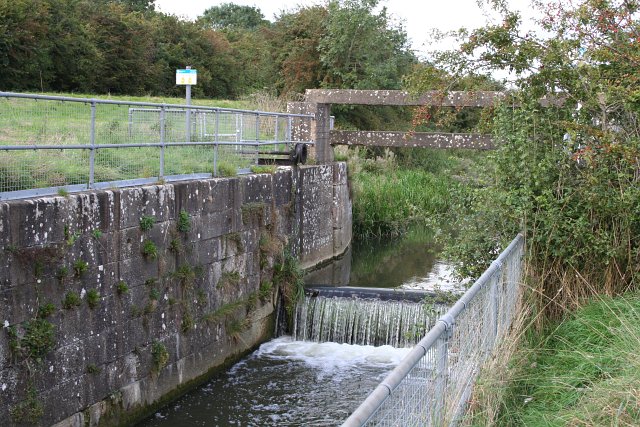
Kyme Eau is a small freshwater marsh located in Lincolnshire, England. It is situated near the village of North Kyme, approximately 10 miles south of the city of Lincoln. The marsh is formed by the Kyme Eau River, which flows through the area, creating a serene and picturesque landscape.
The Kyme Eau marsh is characterized by its diverse aquatic ecosystem, comprising a combination of lakes, pools, ponds, and marshland. The water in these bodies is largely sourced from natural springs, rainwater, and runoff from surrounding fields. This results in a constant supply of fresh, clean water, making it an ideal habitat for various species of plants and animals.
The marsh is home to a wide array of flora and fauna, including water lilies, reeds, rushes, and various species of grasses. These plants provide food and shelter for a range of bird species, such as ducks, swans, and herons, as well as numerous insect species.
The tranquil surroundings of Kyme Eau make it a popular spot for nature enthusiasts and birdwatchers. Visitors can enjoy leisurely walks along the marsh's trails, observing the diverse wildlife and taking in the natural beauty of the area. The calm waters of the lakes and ponds also provide opportunities for fishing and boating activities.
Overall, Kyme Eau in Lincolnshire offers a peaceful retreat for both wildlife and humans alike, with its rich biodiversity and serene atmosphere. It serves as a valuable habitat for various plant and animal species, providing an important ecological function in the region.
If you have any feedback on the listing, please let us know in the comments section below.
Kyme Eau Images
Images are sourced within 2km of 53.055888/-0.21650286 or Grid Reference TF1952. Thanks to Geograph Open Source API. All images are credited.


Kyme Eau is located at Grid Ref: TF1952 (Lat: 53.055888, Lng: -0.21650286)
Administrative County: Lincolnshire
District: North Kesteven
Police Authority: Lincolnshire
What 3 Words
///fame.seagulls.comforted. Near Billinghay, Lincolnshire
Nearby Locations
Related Wikis
Harts Ground
Harts Ground or Harts Grounds is a former parish in Holland Fen with Brothertoft parish, and the Borough of Boston, Lincolnshire, England. It is situated...
River Slea
The River Slea is a 36.4-kilometre-long (22.6 mi) tributary of the River Witham, in Lincolnshire, England. In 1872 the river was described as "a never...

Pelhams Land
Pelhams Lands or Pelhams Land today forms part of the parish of Holland Fen with Brothertoft and is situated approximately 8 miles (13 km) north-west from...
Witham First District IDB
Witham First District IDB is an English internal drainage board which was set up under the terms of the Land Drainage Act 1930. The Board inherited the...
Dogdyke
Dogdyke is a hamlet in the North Kesteven district of Lincolnshire, England. It is situated approximately 2 miles (3 km) south from Tattershall, and at...
River Bain
The River Bain is a river in Lincolnshire, England, and a tributary of the River Witham.The Bain rises in the Lincolnshire Wolds at Ludford, a village...
Dogdyke railway station
Dogdyke railway station was a station on the former Great Northern Railway between Boston and Lincoln.The station, and essentially the hamlet of Dogdyke...

South Kyme
South Kyme is a small village and civil parish in the North Kesteven district of Lincolnshire, England. The population of the civil parish at the 2011...
Nearby Amenities
Located within 500m of 53.055888,-0.21650286Have you been to Kyme Eau?
Leave your review of Kyme Eau below (or comments, questions and feedback).