Island Pond
Lake, Pool, Pond, Freshwater Marsh in Surrey Mole Valley
England
Island Pond
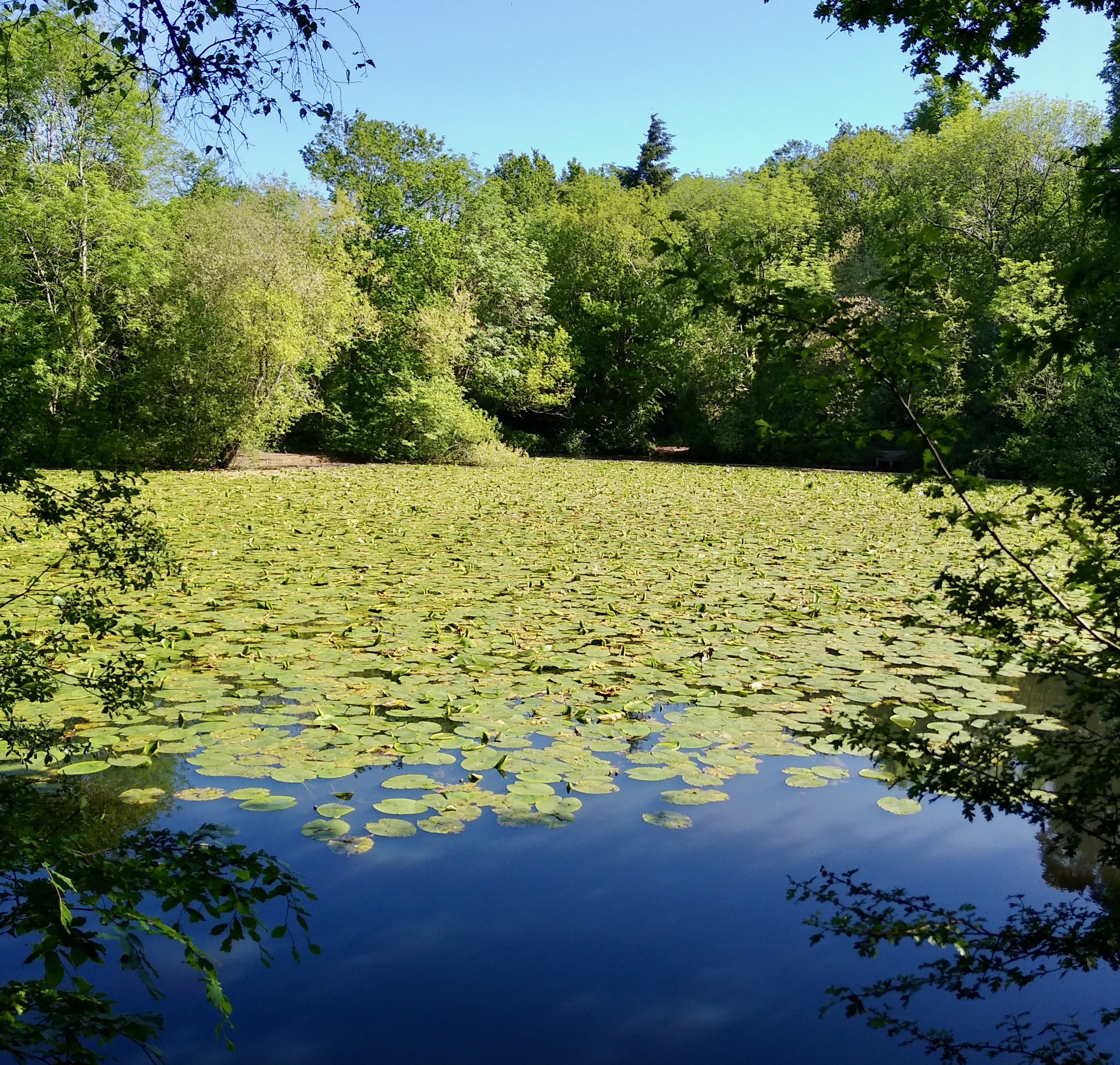
Island Pond, located in Surrey, is a picturesque freshwater body that encompasses a variety of aquatic habitats, including a lake, a pool, a pond, and a freshwater marsh. Situated amidst lush greenery, this natural gem offers a serene and tranquil environment for both locals and visitors alike.
The main attraction of Island Pond is its expansive lake, which spans across a sizable area. The lake is characterized by its crystal-clear waters, reflecting the surrounding landscape and creating a mesmerizing sight. Its depth varies across different sections, providing ample opportunities for various water activities such as swimming, boating, and fishing.
Adjacent to the lake is a smaller pool, which offers a more intimate setting for those seeking a quieter experience. The pool is relatively shallow, making it a perfect spot for families with children to enjoy a refreshing dip in the water.
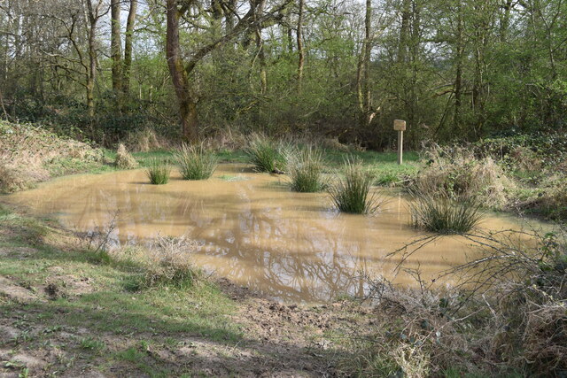
Further into the area, there is a smaller pond, which is home to a diverse range of aquatic plant and animal species. This pond provides a haven for wildlife, attracting a plethora of bird species and small mammals.
Finally, Island Pond boasts a freshwater marsh, a unique ecosystem that supports an abundance of plant life and acts as a vital habitat for numerous species. The marshland is teeming with lush vegetation, including reeds, cattails, and water lilies, creating a visually stunning landscape.
Visitors to Island Pond can revel in the natural beauty it offers, immersing themselves in the tranquility of the surroundings. Whether it be swimming, fishing, or simply enjoying the peaceful ambiance, this Surrey gem is sure to provide an unforgettable experience for nature enthusiasts and those seeking relaxation.
If you have any feedback on the listing, please let us know in the comments section below.
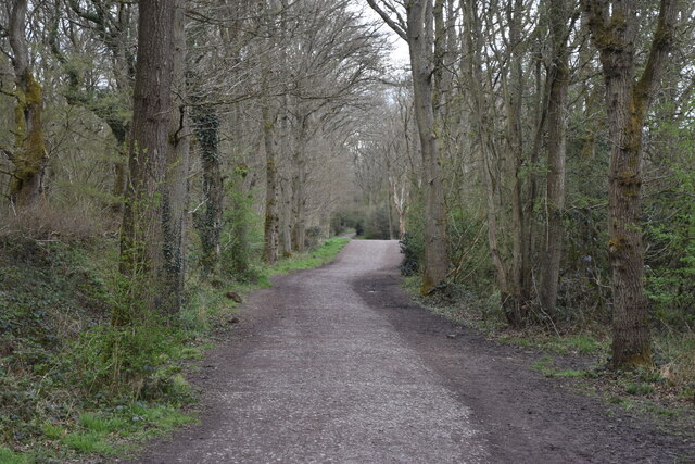
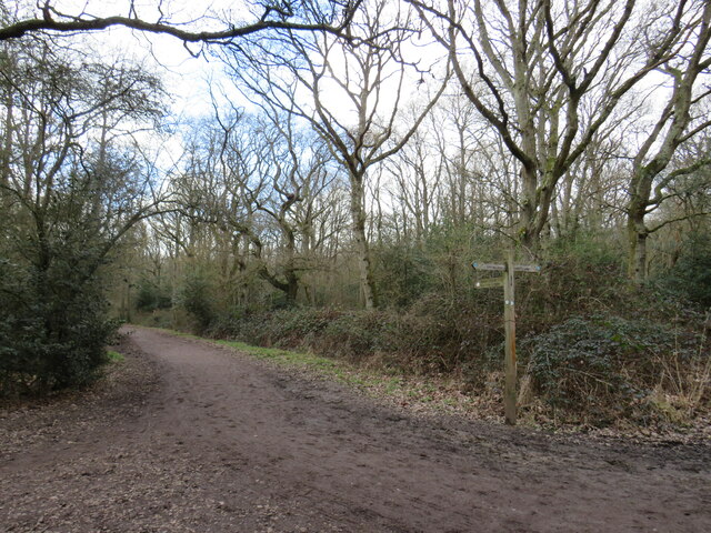
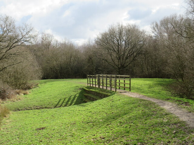
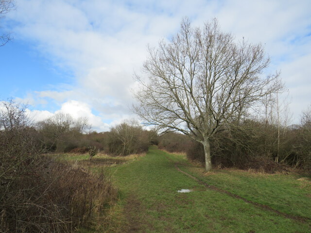
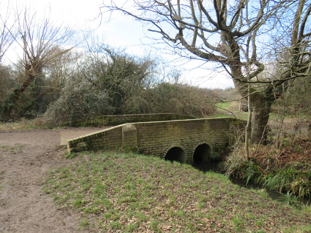
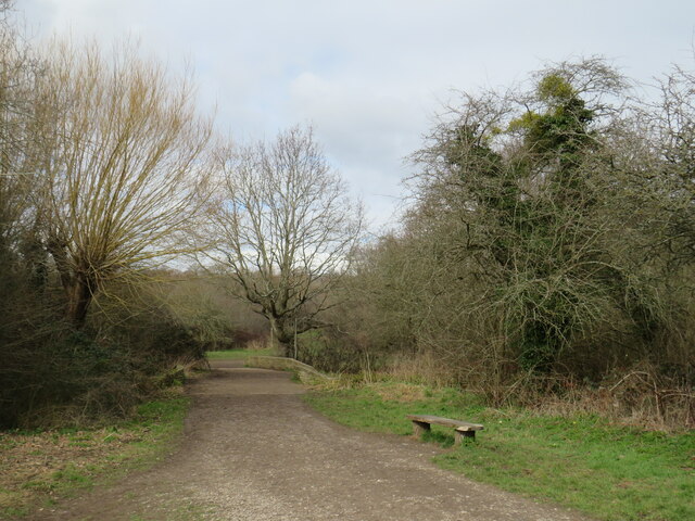
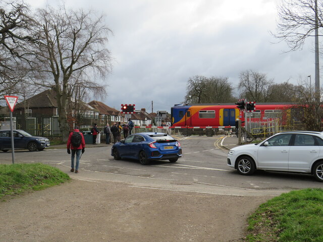
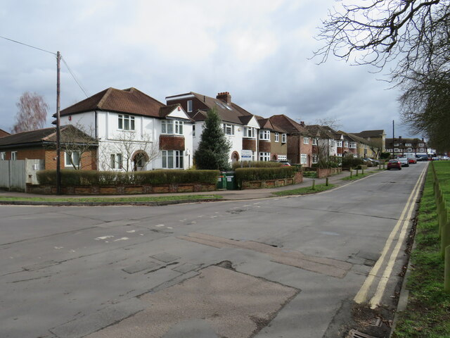
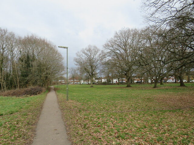
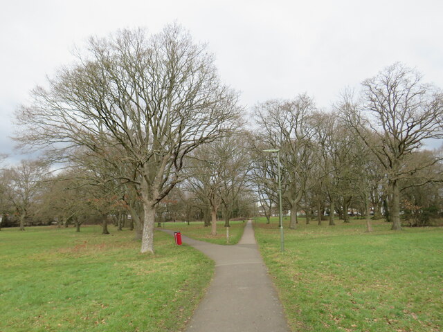
Island Pond Images
Images are sourced within 2km of 51.311566/-0.29193441 or Grid Reference TQ1958. Thanks to Geograph Open Source API. All images are credited.
Island Pond is located at Grid Ref: TQ1958 (Lat: 51.311566, Lng: -0.29193441)
Administrative County: Surrey
District: Mole Valley
Police Authority: Surrey
What 3 Words
///handy.plant.land. Near Ashtead, Surrey
Nearby Locations
Related Wikis
Ashtead Park
Ashtead Park is a 24.2-hectare (60-acre) Local Nature Reserve in Ashtead in Surrey. It is owned by Mole Valley District Council. It contains several important...

Ashtead
Ashtead is a large village in the Mole Valley district of Surrey, England, approximately 15.5 mi (25 km) south of central London. Primarily a commuter...

City of London Freemen's School
City of London Freemen's School (CLFS) is a co-educational private school for day and boarding pupils, located at Ashtead Park in Surrey, England. It is...

Epsom Rural District
Epsom was a rural district of Surrey from 1894 to 1933. It was created in 1894 and covered the area of the formed Epsom Rural Sanitary District – i.e....
Parsons Mead School
Parsons Mead School was a private girls school founded by Jessie Elliston in Ashtead, Surrey, England, which existed from 1897 to 2006. == Founder == Jessie...

Woodcote Park
Woodcote Park is a Grade II* listed stately home and estate of about 350 acres (1.4 km2; 0.5 sq mi) near Epsom, Surrey, England, currently owned by the...
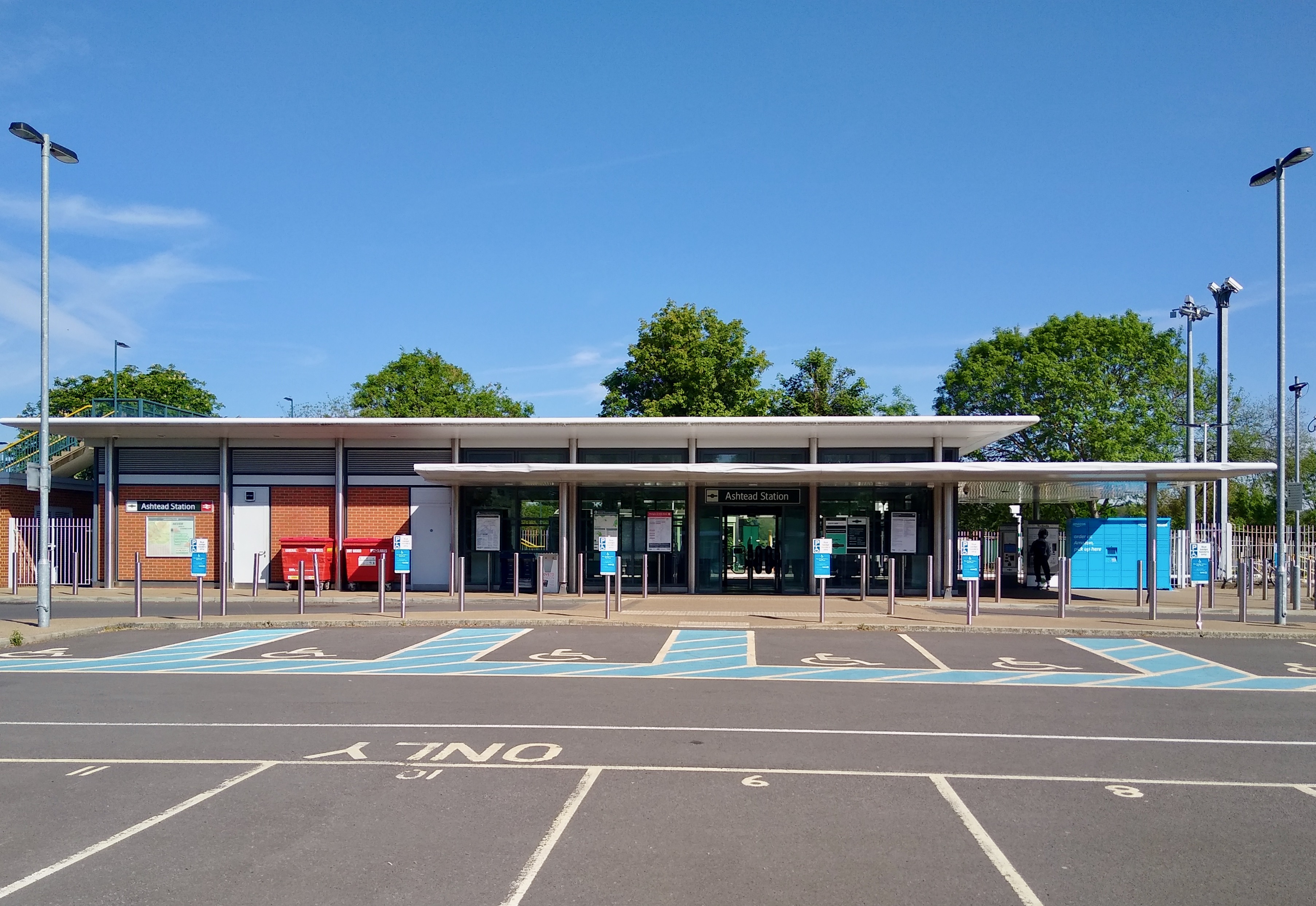
Ashtead railway station
Ashtead railway station is in Ashtead, Surrey, England. It is 16 miles 19 chains (26.1 km) down the line from London Waterloo. == History == Designed by...
Epsom Down
Epsom Down in the southern town outlands of Epsom was used as a venue for two first-class cricket matches between 1816 and 1819. Both were between the...
Nearby Amenities
Located within 500m of 51.311566,-0.29193441Have you been to Island Pond?
Leave your review of Island Pond below (or comments, questions and feedback).