Mere Lake
Lake, Pool, Pond, Freshwater Marsh in Lincolnshire East Lindsey
England
Mere Lake
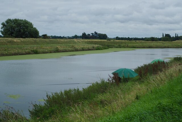
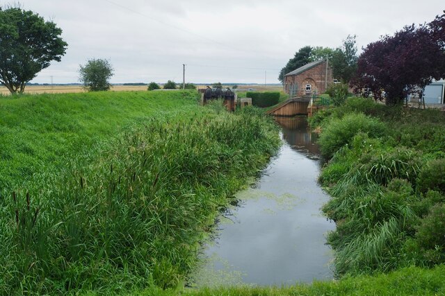
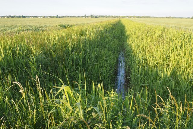
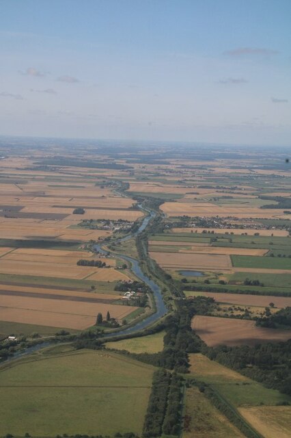
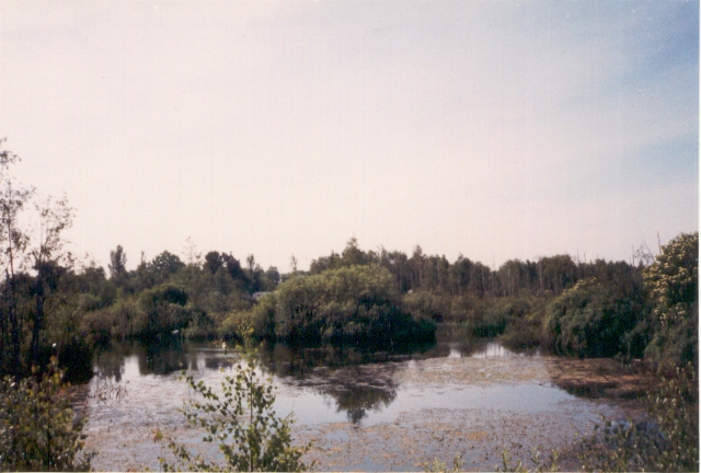
Mere Lake, located in Lincolnshire, is a picturesque body of water renowned for its natural beauty and serene ambiance. As a freshwater lake, it serves as a vital ecosystem supporting a diverse range of flora and fauna species. Spanning over an area of approximately 30 acres, Mere Lake is a popular destination for nature enthusiasts and birdwatchers alike.
The lake is characterized by its tranquil surroundings, featuring lush vegetation and calm waters. It is fed by several small streams and springs, ensuring a constant flow of fresh water. The depth of Mere Lake varies, with the deepest point reaching around 10 meters. This provides a suitable habitat for various aquatic plants and fish species.
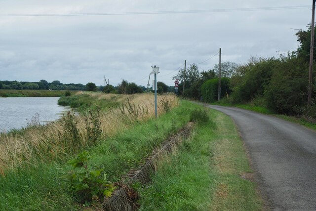
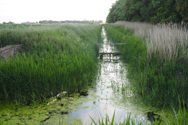
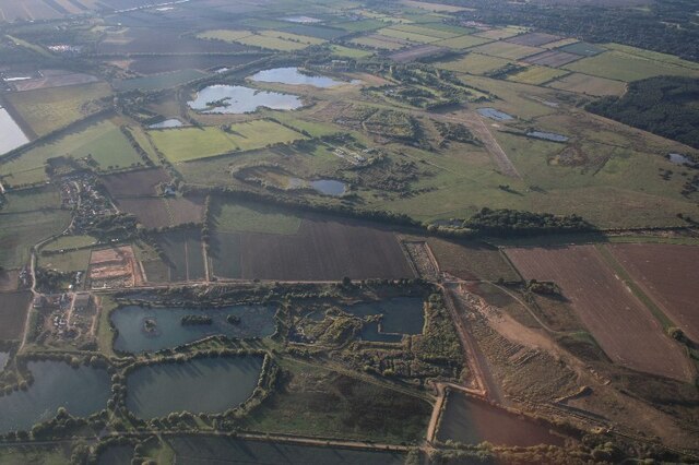
Surrounding the lake, visitors can find an array of different habitats, including pools, ponds, and freshwater marshes. These areas support a rich biodiversity, attracting numerous bird species throughout the year. Mere Lake has been designated as a Site of Special Scientific Interest (SSSI) due to its importance for bird conservation.
Birdwatchers can spot a wide range of avian species, including grebes, swans, ducks, and herons. The lake is particularly famous for hosting a large population of cormorants, which can be observed diving for fish in the clear waters. Additionally, the surrounding marshland provides nesting sites for various waterfowl and wading birds.
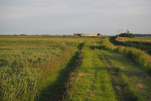
Mere Lake offers visitors the opportunity to immerse themselves in nature, with walking trails and observation points scattered along its shores. The tranquil atmosphere and diverse wildlife make it an ideal destination for anyone seeking a peaceful retreat in the heart of Lincolnshire's natural beauty.
If you have any feedback on the listing, please let us know in the comments section below.
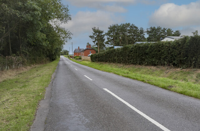
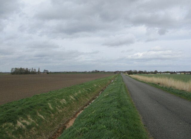
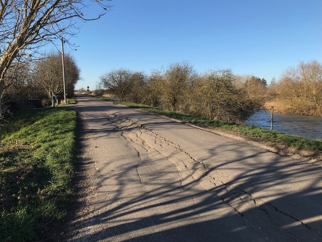
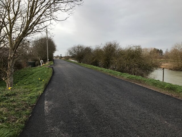
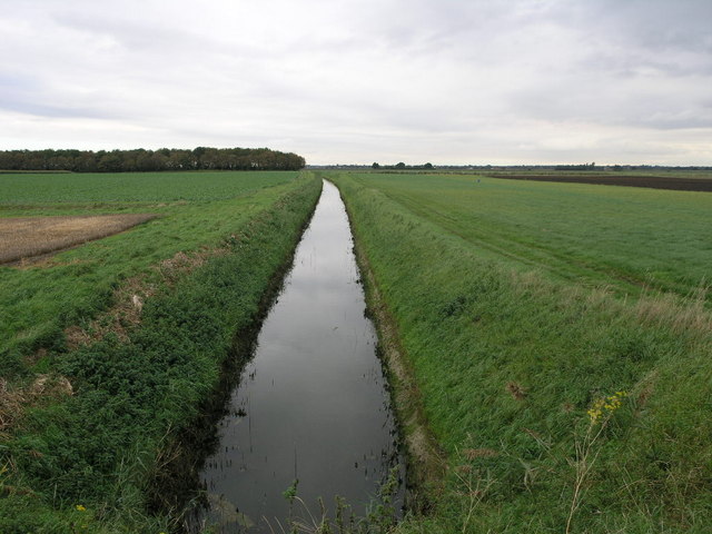
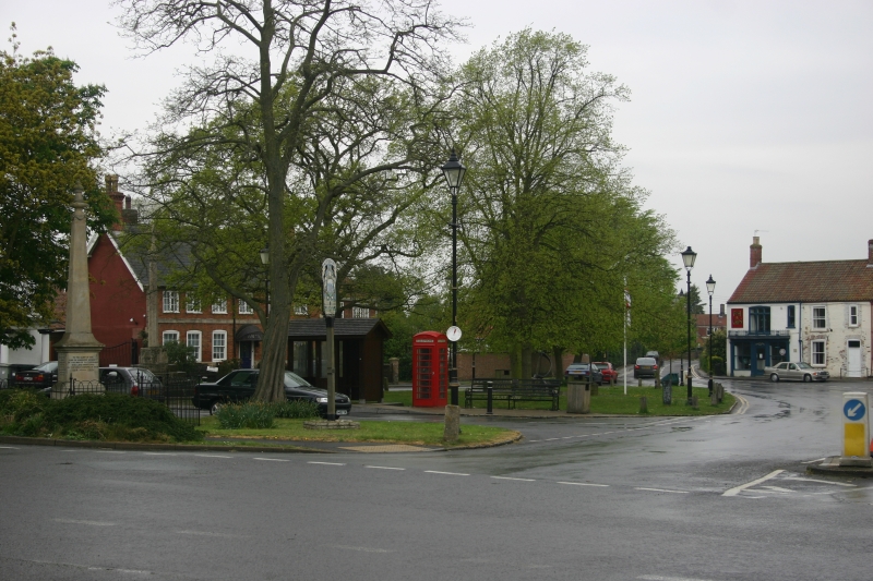
Mere Lake Images
Images are sourced within 2km of 53.111958/-0.222386 or Grid Reference TF1958. Thanks to Geograph Open Source API. All images are credited.
Mere Lake is located at Grid Ref: TF1958 (Lat: 53.111958, Lng: -0.222386)
Administrative County: Lincolnshire
District: East Lindsey
Police Authority: Lincolnshire
What 3 Words
///chugging.curbed.clinking. Near Coningsby, Lincolnshire
Nearby Locations
Related Wikis

Lincolnshire
Lincolnshire (abbreviated Lincs.) is a ceremonial county in the East Midlands and Yorkshire and the Humber regions of England. It is bordered by the East...

Tattershall railway station
Tattershall railway station was a station in Tattershall, Lincolnshire. It was closed in 1963. It is now an art gallery. == References == == External... ==
Tattershall
Tattershall is a village and civil parish in the East Lindsey district of Lincolnshire, England. It is situated on the A153 Horncastle to Sleaford road...

Tattershall Castle, Lincolnshire
Tattershall Castle is a castle in Tattershall, Lincolnshire, England, Since 1925 it has been in the care of the National Trust. == History == Tattershall...

Tattershall College
Tattershall College was a grammar school in Tattershall, Lincolnshire. The college was established in 1439 and the building that still stands today was...
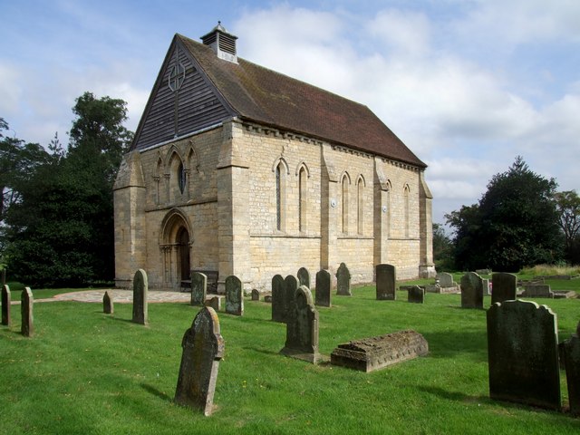
St Leonard's Without
The church of St Leonard's Without is a small chapel built between 1230 and 1240 in the parish of Kirkstead, Lincolnshire, close to Woodhall Spa. The chapel...

Thorpe Camp
Thorpe Camp, officially known as the Thorpe Camp Visitor Centre, is the former Royal Air Force barracks for RAF Woodhall Spa. It is 2.5 miles (4.0 km)...
Barnes Wallis Academy
Barnes Wallis Academy (formerly Gartree Community School) is a coeducational secondary school located in the village of Tattershall in Lincolnshire, England...
Nearby Amenities
Located within 500m of 53.111958,-0.222386Have you been to Mere Lake?
Leave your review of Mere Lake below (or comments, questions and feedback).