Barons Pond
Lake, Pool, Pond, Freshwater Marsh in Middlesex
England
Barons Pond
Barons Pond, located in Middlesex County, is a serene freshwater pond nestled amidst the picturesque landscape of the region. Spanning over a significant area, Barons Pond offers a tranquil oasis for nature enthusiasts and locals alike.
The pond boasts crystal-clear, calm waters, making it ideal for various recreational activities. Whether one prefers swimming, kayaking, or fishing, Barons Pond caters to a wide range of interests. Its peaceful ambiance and well-maintained surroundings provide the perfect setting for a relaxing day outdoors.
Surrounded by lush greenery and vibrant flora, Barons Pond is home to a diverse ecosystem. Its freshwater marshes serve as a habitat for numerous species of plants and animals, creating a thriving ecological environment. Birdwatchers can spot a variety of avian species, including herons, ducks, and songbirds, adding to the area's natural charm.
The pond is easily accessible, with ample parking and well-maintained trails leading to its shores. Visitors can enjoy a leisurely stroll along the water's edge, taking in the scenic beauty and observing the wildlife that thrives within the pond's ecosystem.
Barons Pond is also a popular spot for picnics and family outings. Its tranquil atmosphere and scenic surroundings make it an ideal location for gatherings and relaxation. Visitors can unwind on the grassy banks, enjoying a picnic or simply basking in the calming serenity of the pond.
In conclusion, Barons Pond in Middlesex County is a captivating freshwater haven that offers a range of recreational activities, a thriving ecosystem, and a peaceful atmosphere for visitors to enjoy.
If you have any feedback on the listing, please let us know in the comments section below.
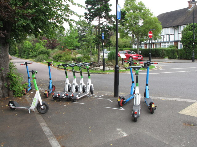
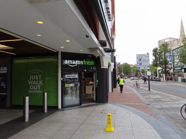
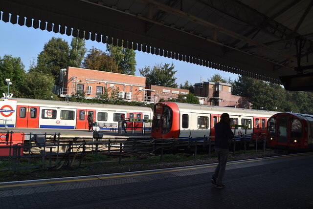
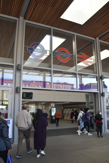
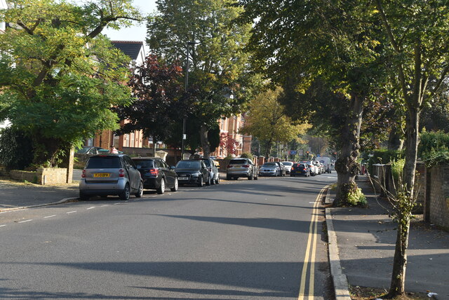
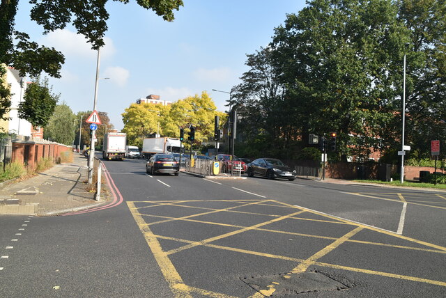
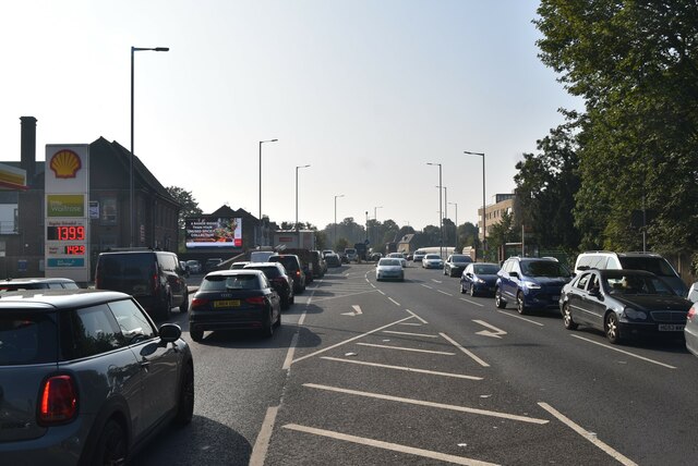
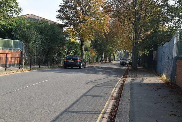
Barons Pond Images
Images are sourced within 2km of 51.501122/-0.28785378 or Grid Reference TQ1879. Thanks to Geograph Open Source API. All images are credited.


Barons Pond is located at Grid Ref: TQ1879 (Lat: 51.501122, Lng: -0.28785378)
Unitary Authority: Ealing
Police Authority: Metropolitan
What 3 Words
///crass.limes.yard. Near Acton, London
Nearby Locations
Related Wikis

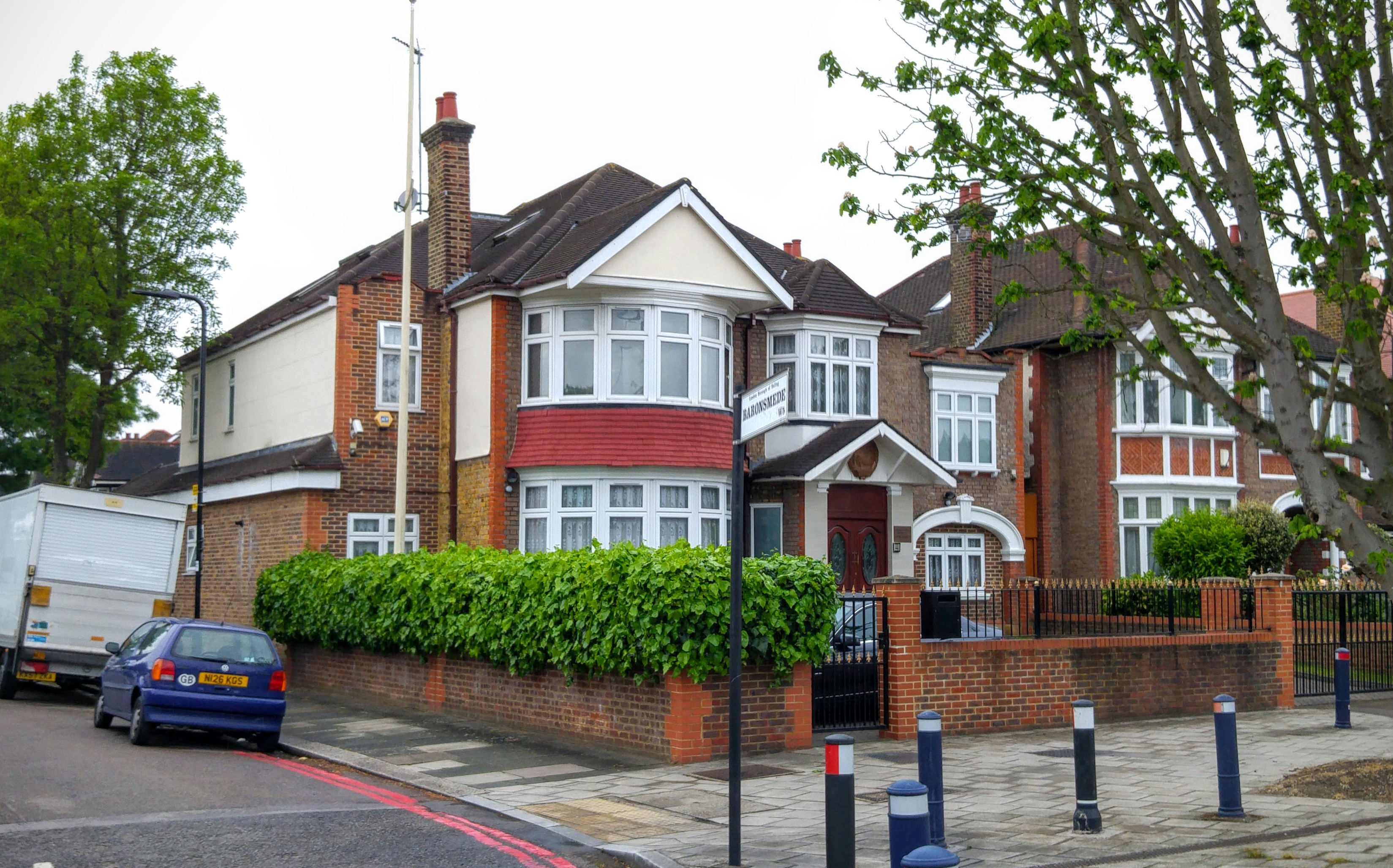
South Acton, London
South Acton is an area in Acton, West London, 6.4 miles (10.3 km) west of Charing Cross. At the 2001 census, Acton, comprising the wards of East Acton...
Embassy of North Korea, London
The Embassy of the Democratic People's Republic of Korea in London (Korean: 주 영국 조선민주주의인민공화국 대사관; Hanja: 駐英國朝鮮民主主義人民共和國大使館; MR: Chu Yŏngguk Chosŏn Minjujuŭi...

Murder of Jean Bradley
The murder of Jean Bradley was the apparently motiveless stabbing of a woman in Acton, London on 25 March 1993. The case made headline news at the time...
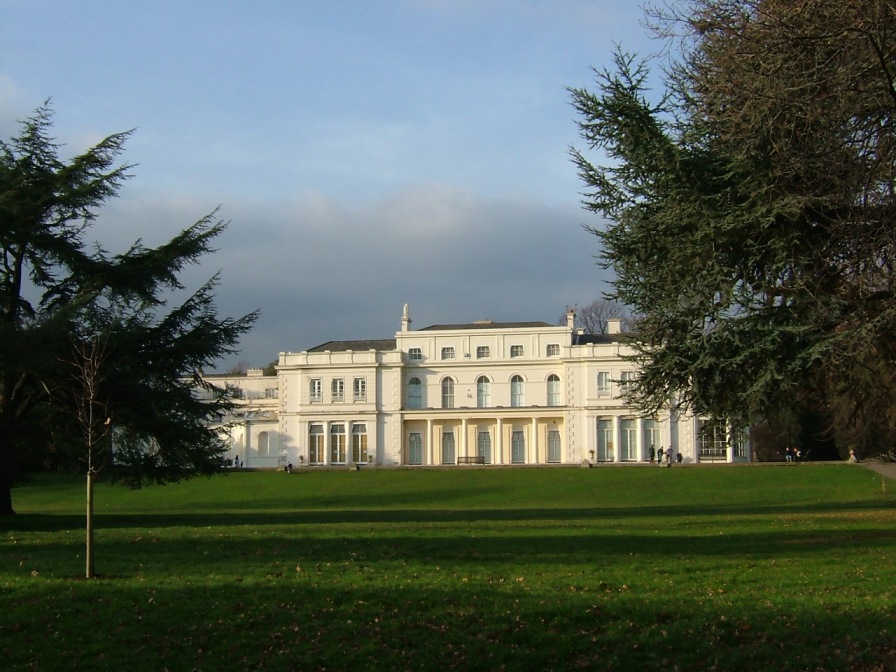
Gunnersbury Park
Gunnersbury Park is a park between Acton, Brentford, Chiswick and Ealing, West London, England. Purchased for the nation from the Rothschild family, it...

Acton Town tube station
Acton Town is a London Underground station in the south-west corner of Acton, West London, in the London Borough of Ealing, close to the border with the...

Ealing Common Depot
Ealing Common Depot is a London Underground railway depot on the District line, located between Acton Town and Ealing Common stations in west London, England...
Ark Acton Academy
Ark Acton Academy, is a coeducational secondary school and sixth form located in the Acton area of the London Borough of Ealing, England.The school teaches...

Hooper (coachbuilder)
Hooper & Co. was a British coachbuilding business for many years based in Westminster London. From 1805 to 1959 it was a notably successful maker, to special...
Nearby Amenities
Located within 500m of 51.501122,-0.28785378Have you been to Barons Pond?
Leave your review of Barons Pond below (or comments, questions and feedback).