Cage Pond
Lake, Pool, Pond, Freshwater Marsh in Hertfordshire Hertsmere
England
Cage Pond

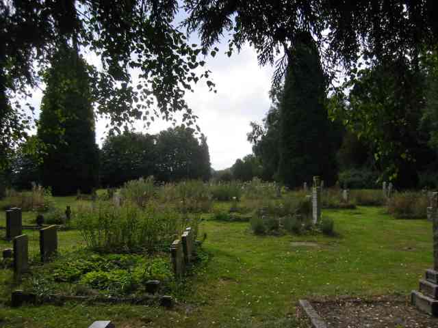
Cage Pond is a picturesque freshwater marsh located in Hertfordshire, England. Nestled amidst the rolling countryside, this natural haven offers a tranquil retreat for both locals and visitors alike. The pond, which dates back centuries, is surrounded by lush greenery and provides a stunning backdrop for nature enthusiasts and photographers.
With a surface area of approximately 2 acres, Cage Pond boasts crystal-clear waters that are home to a diverse array of aquatic wildlife. The pond is teeming with various species of fish, including common carp, roach, and perch, making it a popular destination for anglers seeking a peaceful fishing experience. Birdwatchers are also drawn to the area, as the pond attracts a wide range of bird species such as herons, kingfishers, and mallards.
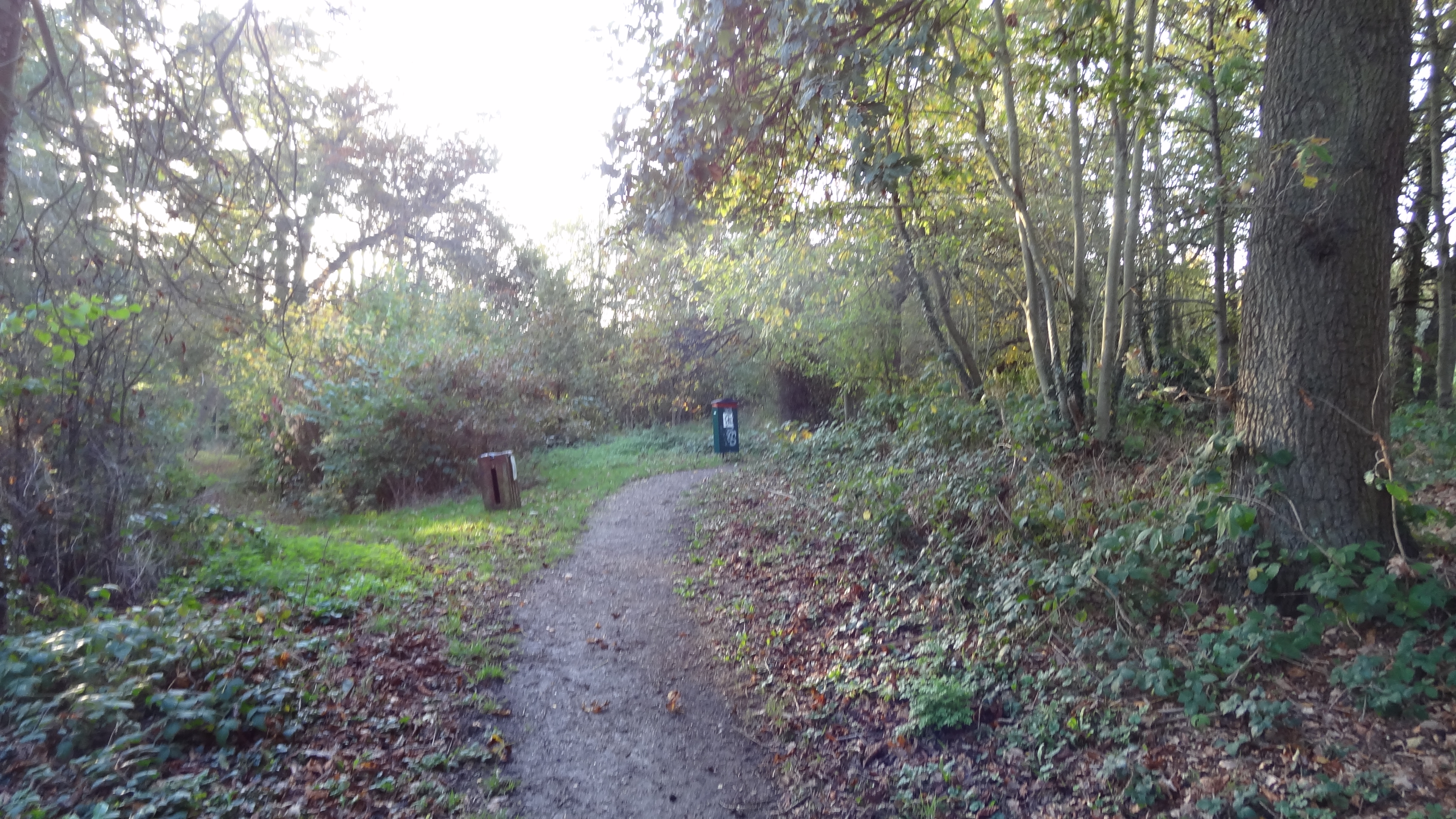
The surrounding landscape of Cage Pond is a mix of reed beds, marshland, and grassy meadows, creating a rich ecosystem that supports an abundance of plant and animal life. Visitors can explore the area via well-maintained footpaths and enjoy the serene beauty of the surroundings. The pond is also a popular spot for picnics and leisurely walks, offering a peaceful respite from the hustle and bustle of everyday life.
Cage Pond is easily accessible, located just a short distance from the nearby village of Hertfordshire. The pond is open to the public year-round and is managed by local authorities to preserve its natural beauty. Whether one seeks a peaceful fishing spot, a scenic walk, or a chance to observe wildlife, Cage Pond is a must-visit destination for nature lovers in Hertfordshire.
If you have any feedback on the listing, please let us know in the comments section below.
Cage Pond Images
Images are sourced within 2km of 51.692681/-0.28148856 or Grid Reference TL1800. Thanks to Geograph Open Source API. All images are credited.


Cage Pond is located at Grid Ref: TL1800 (Lat: 51.692681, Lng: -0.28148856)
Administrative County: Hertfordshire
District: Hertsmere
Police Authority: Hertfordshire
What 3 Words
///lied.will.jungle. Near Shenley, Hertfordshire
Nearby Locations
Related Wikis
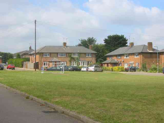
Shenley
Shenley is a village and civil parish in Hertfordshire, England, between Barnet and St Albans. The village is located 14 miles from Central London. As...

Watling Chase Community Forest
Watling Chase Community Forest is an area of 72 square miles located in north London and south Hertfordshire around the towns of Potters Bar, Radlett,...
Watling Chase Timberland Trail
The Watling Chase Timberland Trail is a 10.5 mile footpath in the Watling Chase Community Forest in Hertfordshire. It starts at Elstree & Borehamwood railway...
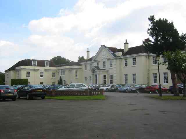
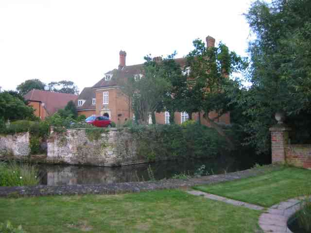
Shenley Hall
Shenley Hall is a Grade II listed English country house at Shenley in Hertfordshire. == History == Built in the 19th century, the hall benefited from additions...
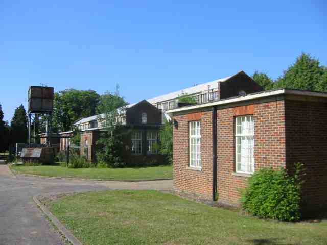
Shenley Hospital
Shenley Hospital was a psychiatric hospital at Shenley in Hertfordshire. It had two sister institutions, Harperbury Hospital and Napsbury Hospital, within...
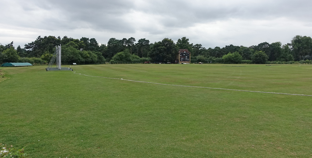
Denis Compton Oval
The Denis Compton Oval is a cricket ground located at the Shenley Cricket Centre in Shenley, Hertfordshire, England. The ground was opened by Denis Compton...

Watford Football Club Training Ground
The Watford Football Club Training Ground is the training ground and academy of the EFL Championship club Watford F.C. The centre is located on the University...

Arsenal Training Centre
The Arsenal Training Centre, often referred to as its geographical location London Colney in Hertfordshire, is the training ground of Arsenal Football...
Nearby Amenities
Located within 500m of 51.692681,-0.28148856Have you been to Cage Pond?
Leave your review of Cage Pond below (or comments, questions and feedback).