Charlton Mill Pond
Lake, Pool, Pond, Freshwater Marsh in Hertfordshire North Hertfordshire
England
Charlton Mill Pond
Charlton Mill Pond is a charming freshwater pond located in the picturesque county of Hertfordshire, England. Nestled amidst the tranquil countryside, this natural water body covers an area of approximately 2 acres, making it an idyllic spot for nature lovers and wildlife enthusiasts.
Surrounded by lush greenery and bordered by reeds and tall grasses, Charlton Mill Pond showcases a rich diversity of plant and animal life. The pond's crystal-clear waters are home to a variety of freshwater fish, such as roach, perch, and pike, making it a popular destination for anglers. The pond also provides a habitat for numerous bird species, including mallards, coots, and herons, which can be observed gliding gracefully across the water or perched on the surrounding vegetation.
Apart from its ecological significance, Charlton Mill Pond also serves as a recreational space for locals and visitors alike. The pond offers opportunities for boating and canoeing, allowing individuals to explore its tranquil waters at their leisure. Additionally, the pond's peaceful ambiance and scenic surroundings make it a perfect spot for picnicking, photography, or simply unwinding in nature.
Charlton Mill Pond is easily accessible and conveniently located near the village of Charlton, offering ample parking facilities for visitors. The area is well-maintained, with designated walking paths and benches for those who wish to take a leisurely stroll or pause to appreciate the serene beauty of the surroundings.
Overall, Charlton Mill Pond in Hertfordshire is a delightful freshwater oasis, teeming with wildlife and offering a range of recreational activities for all to enjoy.
If you have any feedback on the listing, please let us know in the comments section below.
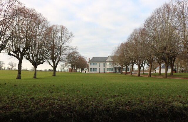
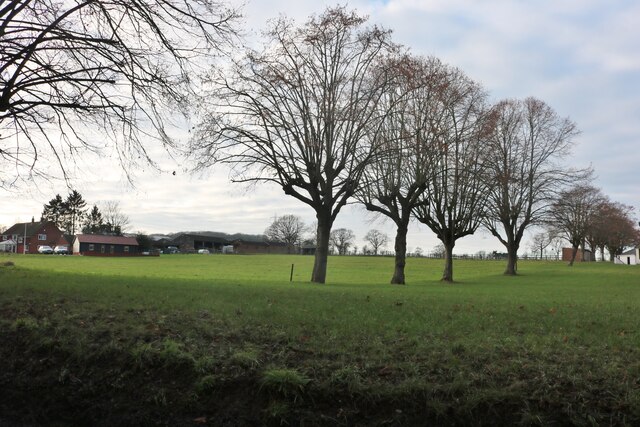
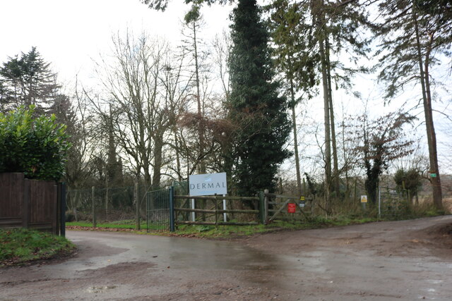
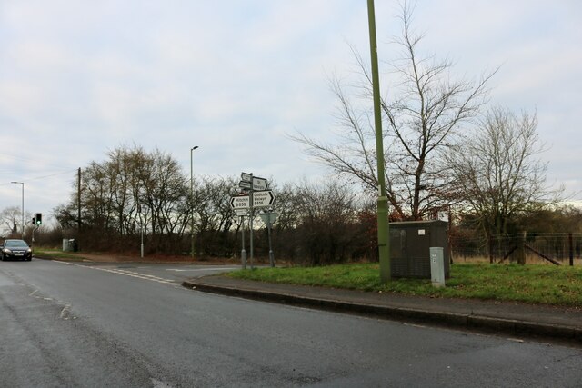
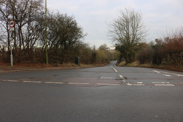
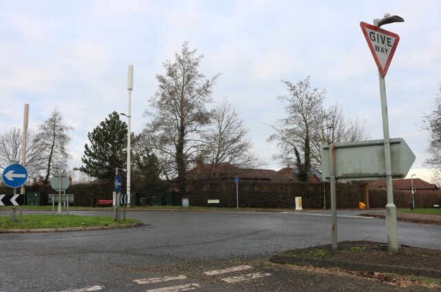
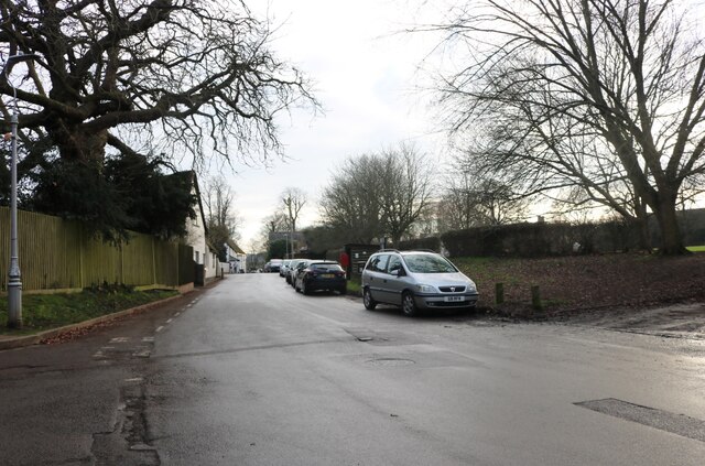
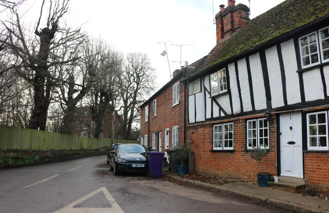
Charlton Mill Pond Images
Images are sourced within 2km of 51.937145/-0.2889362 or Grid Reference TL1727. Thanks to Geograph Open Source API. All images are credited.


Charlton Mill Pond is located at Grid Ref: TL1727 (Lat: 51.937145, Lng: -0.2889362)
Administrative County: Hertfordshire
District: North Hertfordshire
Police Authority: Hertfordshire
What 3 Words
///actual.fades.meals. Near Hitchin, Hertfordshire
Nearby Locations
Related Wikis

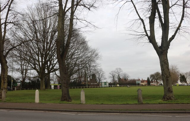
Charlton, Hertfordshire
Charlton is a hamlet in the county of Hertfordshire, in the East of England. It is a component hamlet of the market town of Hitchin, forming a part of...
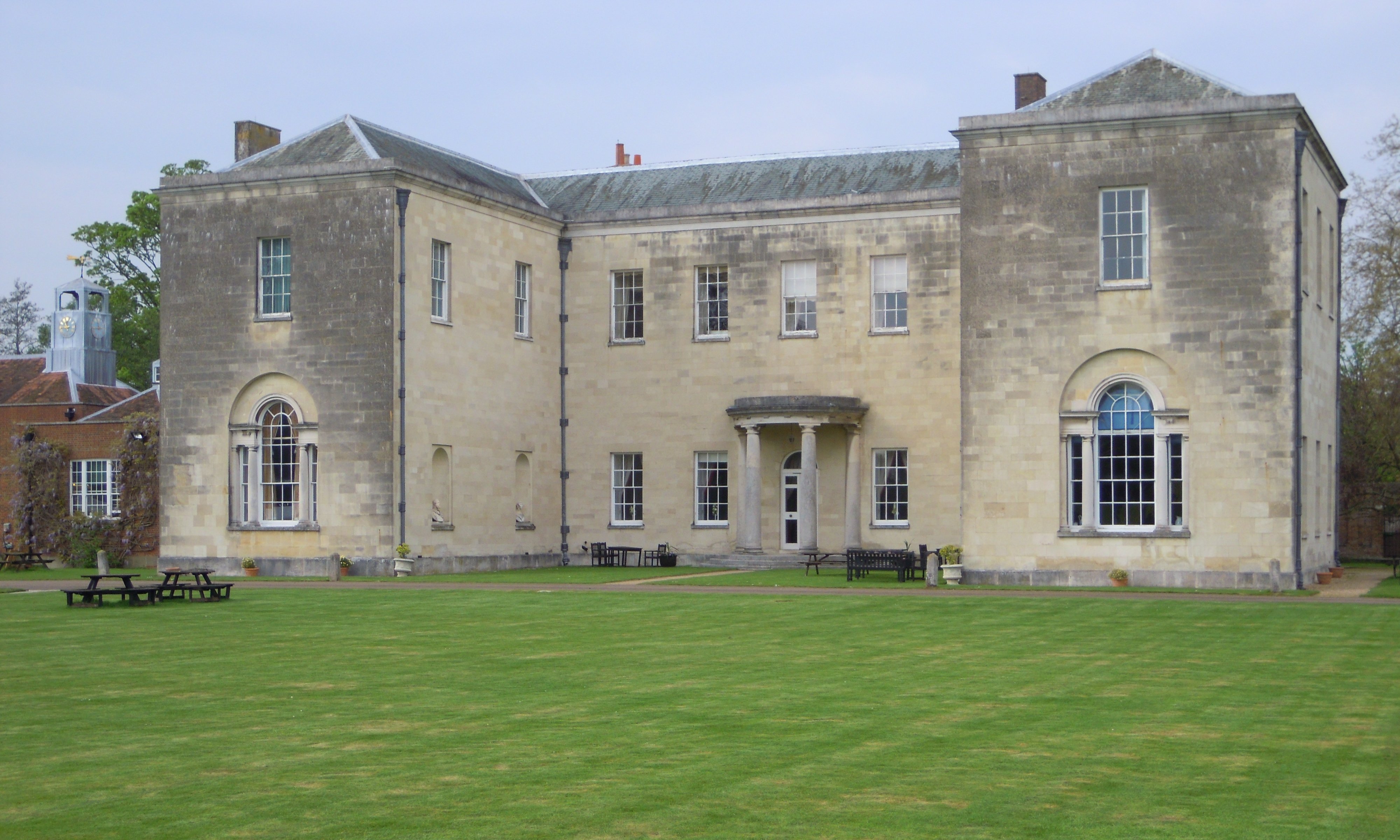
Hitchin Priory
Hitchin Priory in Hitchin in Hertfordshire is today a hotel built in about 1700 on the site of a Carmelite friary founded in 1317, which was closed in...
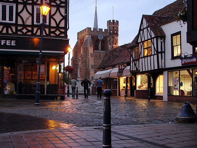
Hitchin
Hitchin () is a market town in the North Hertfordshire district of Hertfordshire, England. == History == Hitchin is first noted as the central place of...
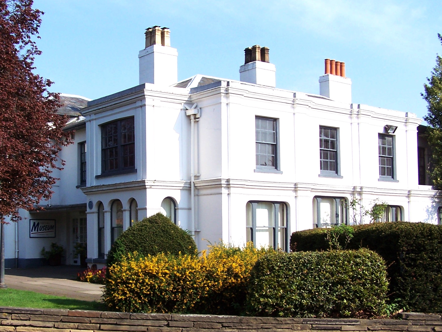
Hitchin Museum and Art Gallery
The Hitchin Museum and Art Gallery was a local history museum in Hitchin, Hertfordshire, England, with an extensive collection that told the story of the...
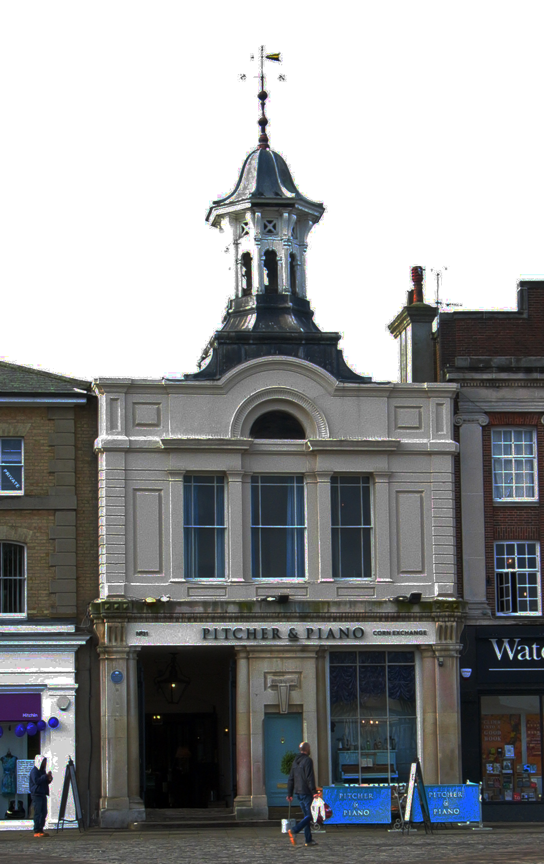
Corn Exchange, Hitchin
The Corn Exchange is a commercial building in the Market Place in Hitchin, Hertfordshire, England. The structure, which is currently used as a bar and...
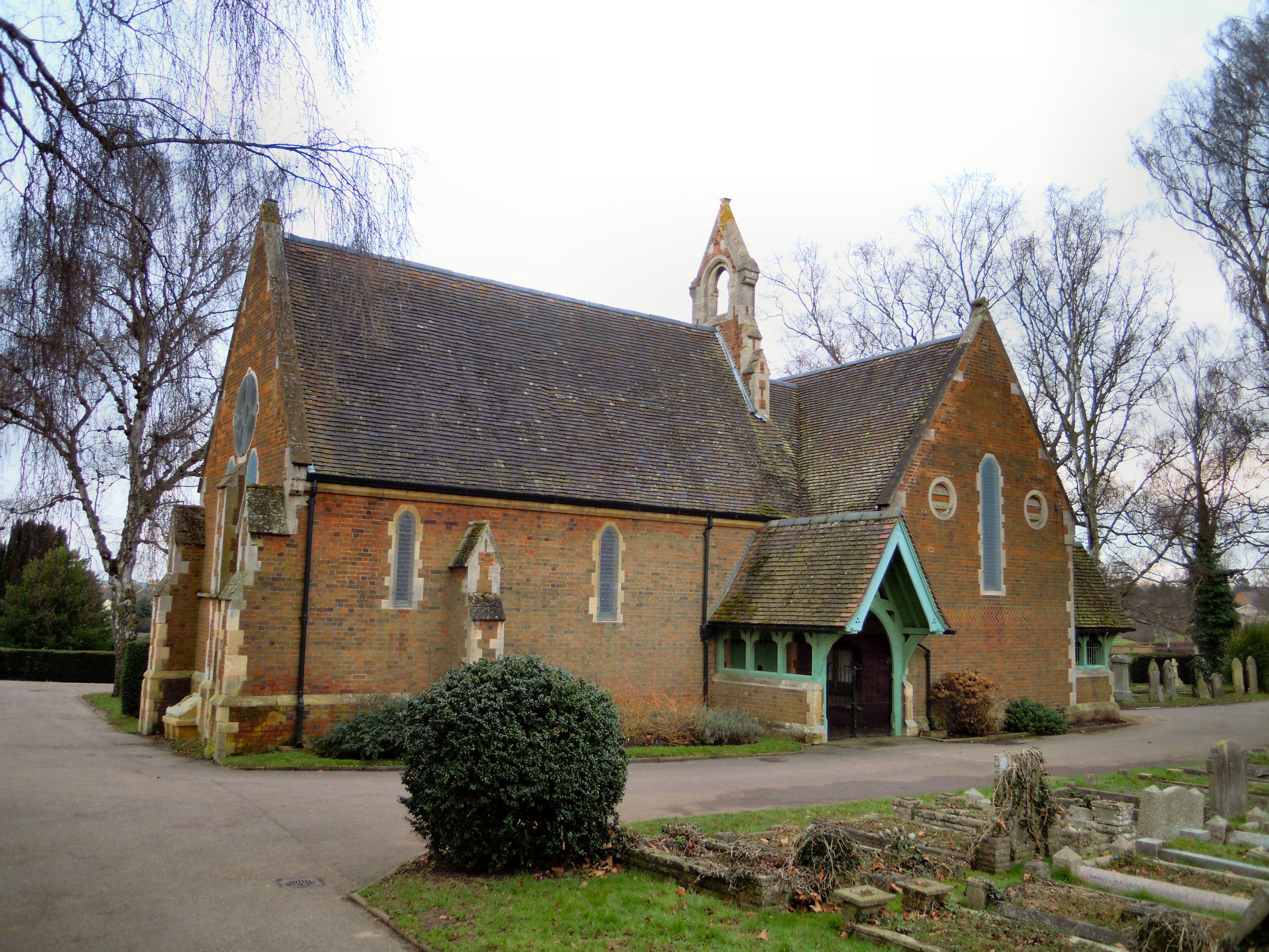
Hitchin Cemetery
Hitchin Cemetery, also known as St John's Road Cemetery, is the main burial ground for the town of Hitchin in Hertfordshire. The cemetery is located on...

British Schools Museum
The British Schools Museum is an educational museum based in original Edwardian and Victorian school buildings in Hitchin in Hertfordshire, England. The...

St Mary's Church, Hitchin
St Mary's Church is a Church of England parish church in Hitchin, Hertfordshire, England. St Mary's Church is the largest parish church in Hertfordshire...
Nearby Amenities
Located within 500m of 51.937145,-0.2889362Have you been to Charlton Mill Pond?
Leave your review of Charlton Mill Pond below (or comments, questions and feedback).