Aldenham Reservoir
Lake, Pool, Pond, Freshwater Marsh in Hertfordshire Hertsmere
England
Aldenham Reservoir
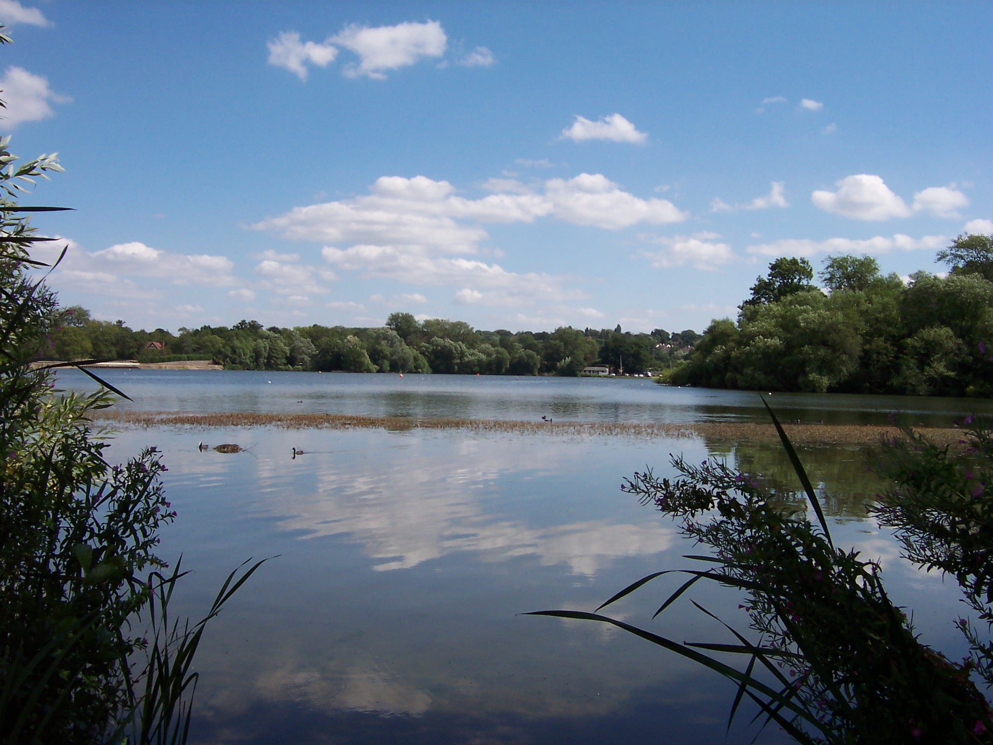
Aldenham Reservoir is a man-made freshwater lake located in Hertfordshire, England. Covering an area of approximately 160 acres, it is one of the largest reservoirs in the county. The reservoir was constructed in the early 20th century to provide a reliable water supply to the surrounding areas.
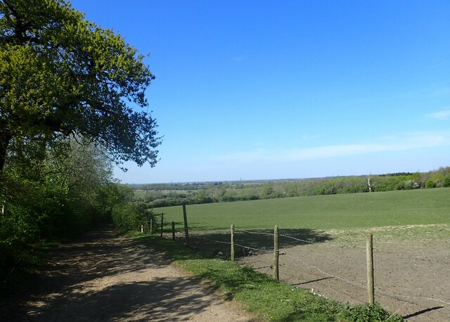
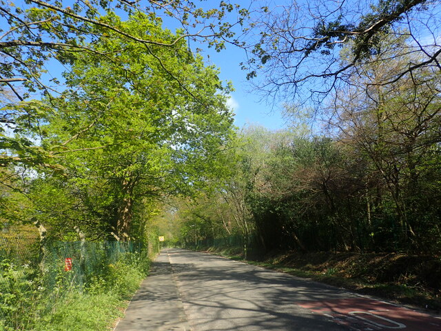
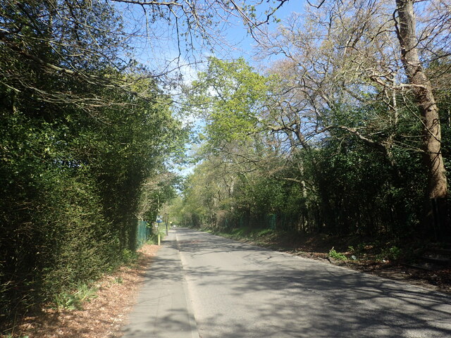
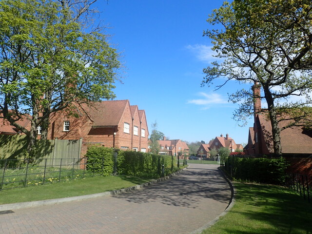
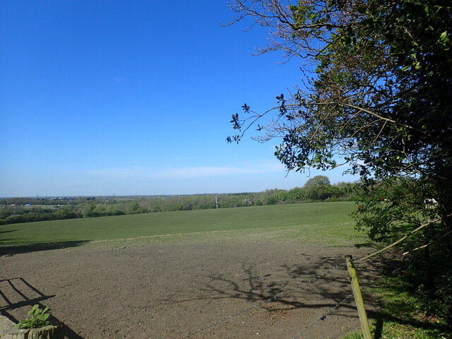
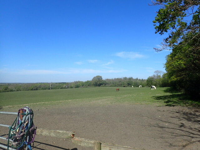
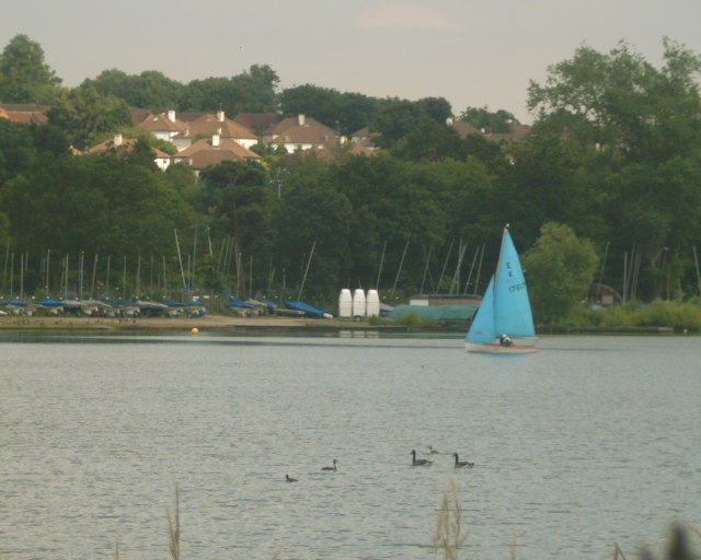
The lake is surrounded by picturesque rolling hills and lush greenery, offering a tranquil and natural setting for visitors. It is a popular spot for various recreational activities such as fishing, sailing, and birdwatching. The reservoir's calm waters make it an ideal location for boating enthusiasts, with several boat clubs operating on its shores.
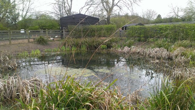
Aldenham Reservoir is home to a diverse range of bird species, making it a haven for birdwatchers. The surrounding wetlands and marshes provide a suitable habitat for both resident and migratory birds, including herons, ducks, swans, and geese. The reservoir's reed beds also attract various species of warblers and reed buntings.
The reservoir not only serves as a recreational spot but also plays a crucial role in water management in the region. It acts as a storage facility, collecting and supplying water to the nearby towns and villages. The reservoir's water level is carefully controlled to ensure a consistent supply throughout the year.
Aldenham Reservoir offers a peaceful escape from the hustle and bustle of daily life, providing visitors with an opportunity to connect with nature and enjoy the beauty of this man-made freshwater body.
If you have any feedback on the listing, please let us know in the comments section below.
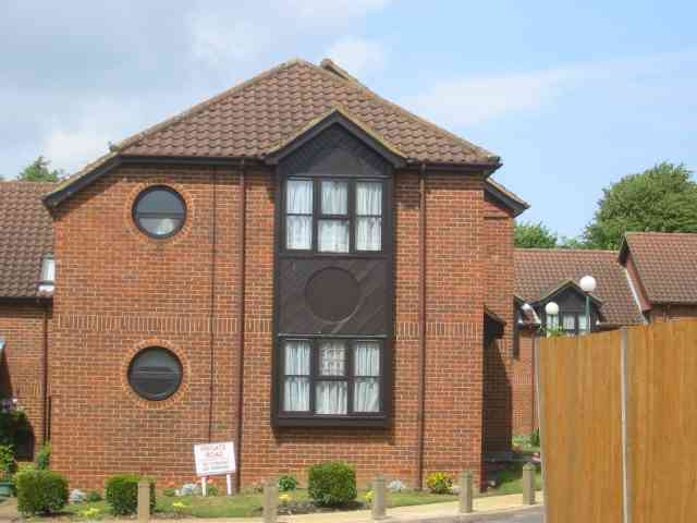
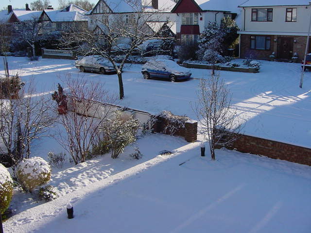
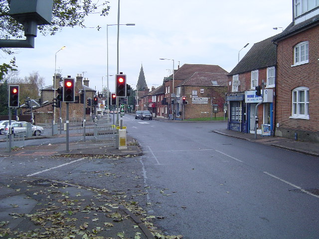
Aldenham Reservoir Images
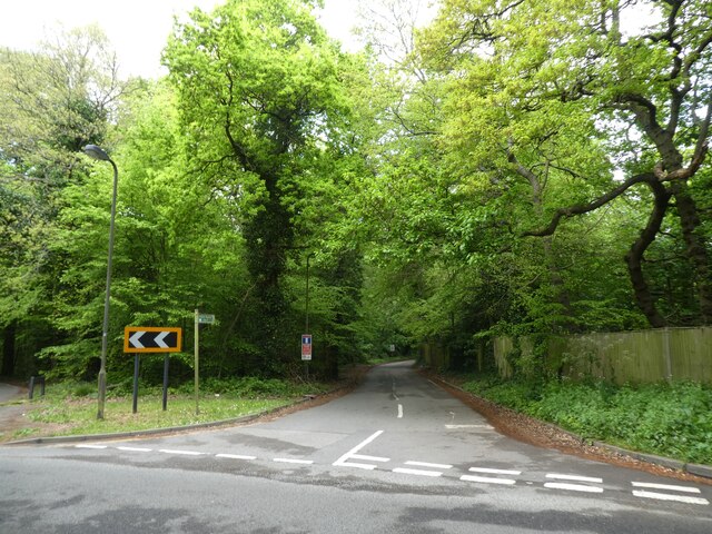
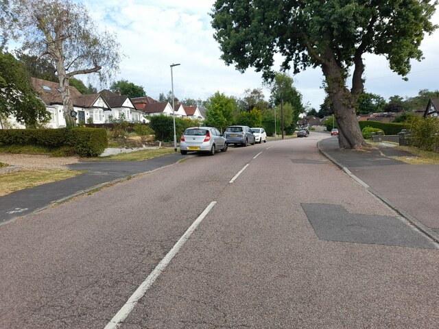
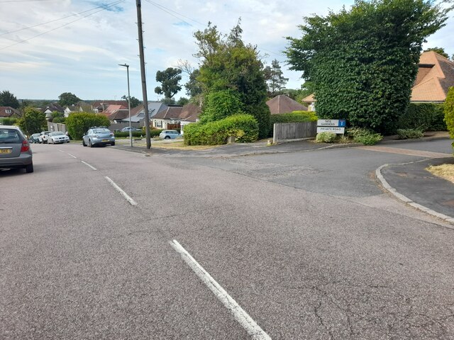
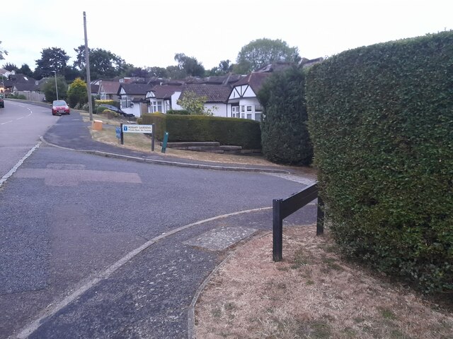
Images are sourced within 2km of 51.645728/-0.31212867 or Grid Reference TQ1695. Thanks to Geograph Open Source API. All images are credited.
Aldenham Reservoir is located at Grid Ref: TQ1695 (Lat: 51.645728, Lng: -0.31212867)
Administrative County: Hertfordshire
District: Hertsmere
Police Authority: Hertfordshire
What 3 Words
///bugs.healers.toast. Near Elstree, Hertfordshire
Nearby Locations
Related Wikis
Aldenham Reservoir
Aldenham Reservoir is situated in the parish of Elstree and Borehamwood in Hertfordshire, England, about one mile (1.6 km) to the west of the village of...
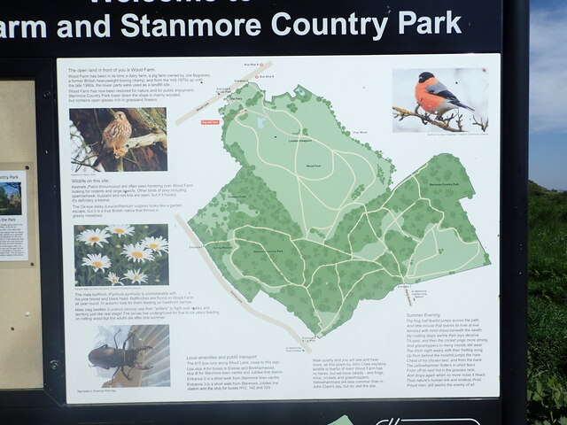
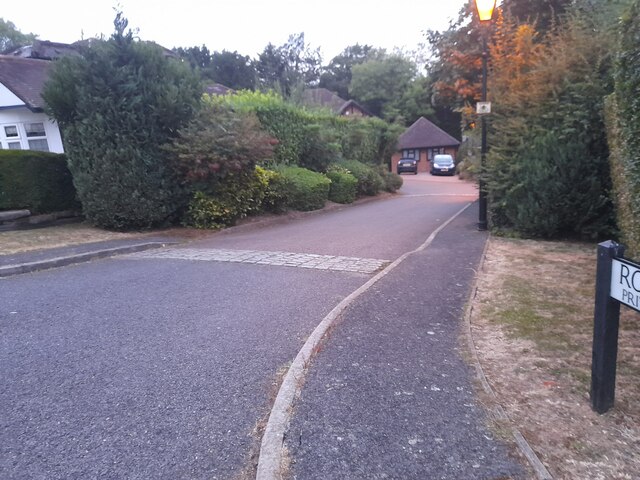
Aldenham Country Park
Aldenham Country Park is a 175-acre (0.71 km2) parkland and woodland, including Aldenham Reservoir. It is now part of the Watling Chase Community Forest...

New Elstree Studios
New Elstree Studios was a British film studio complex that was the main production centre for the Danziger Brothers from 1956 to 1962, and was one of several...
Bushey Heath tube station
Bushey Heath was a proposed, but unbuilt, London Underground station in Bushey Heath, Hertfordshire, England. The planned location of the station was at...
Aldenham Works
The Aldenham Works, or Aldenham Bus Overhaul Works, was the main London Transport bus overhaul works. It was located on the edge of the Hertfordshire village...
Elstree
Elstree is a large village in the Hertsmere borough of Hertfordshire, England. It is about 15 miles (24 kilometres) northwest of central London on the...
Haberdashers' Girls' School
Haberdashers' Girls' School is a private day school in Elstree, Hertfordshire. It is often referred to as "Habs" (or "Habs Girls" to distinguish it from...
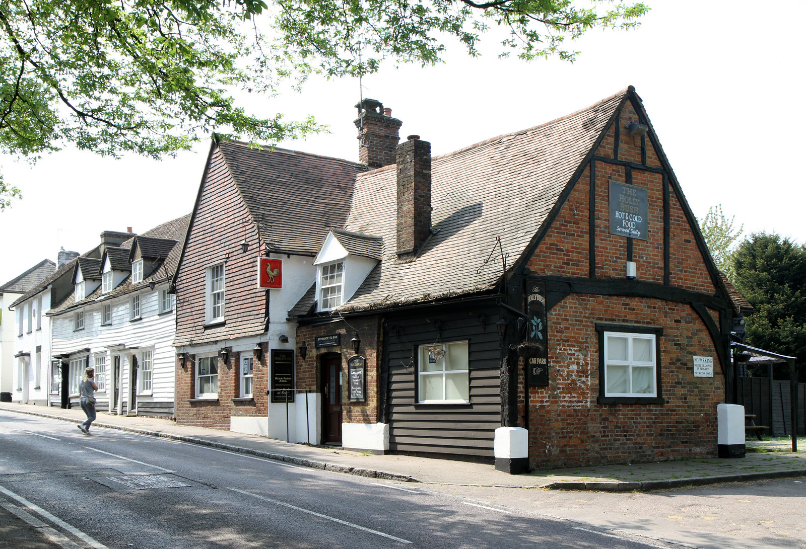
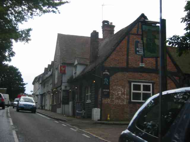
The Holly Bush, Elstree
The Holly Bush is a listed building, formerly a public house, on the High Street, Elstree, Hertfordshire, England. Elstree's High Street was formerly an...
Nearby Amenities
Located within 500m of 51.645728,-0.31212867Have you been to Aldenham Reservoir?
Leave your review of Aldenham Reservoir below (or comments, questions and feedback).