Cup and Saucer Ponds

Lake, Pool, Pond, Freshwater Marsh in Sussex Horsham

England

Cup and Saucer Ponds

Waitrose and John Lewis - off Albion Way The photo shows the upper level of the car park. There is a level below this as well.
Waitrose and John Lewis - off Albion Way Credit: Ian Cunliffe

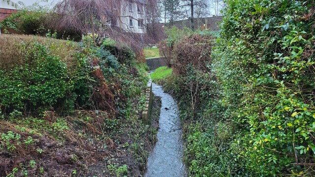
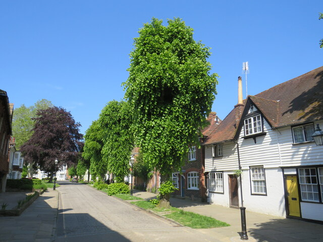
Cup and Saucer Ponds, located in Sussex, England, is a picturesque freshwater marsh consisting of two interconnected ponds. The ponds are named after their distinct shapes, resembling a cup and a saucer when viewed from above. This natural wonder is a popular attraction for nature enthusiasts and birdwatchers alike.

The larger of the two ponds, known as the Cup, spans approximately 4 acres and is surrounded by lush vegetation and reed beds. It is home to a diverse range of aquatic flora and fauna, including water lilies, cattails, and various species of fish. The smaller pond, the Saucer, covers an area of around 2 acres and features similar characteristics.

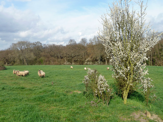
The surrounding area of Cup and Saucer Ponds is teeming with wildlife, making it a haven for bird lovers. Visitors can spot a variety of bird species, including herons, swans, ducks, and kingfishers. The peaceful ambiance and tranquil waters provide an ideal habitat for these winged creatures.

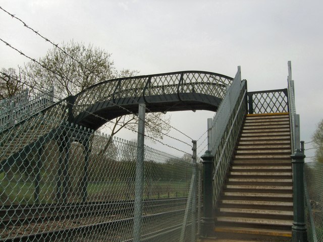
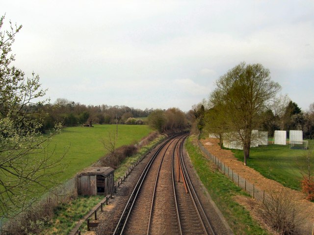
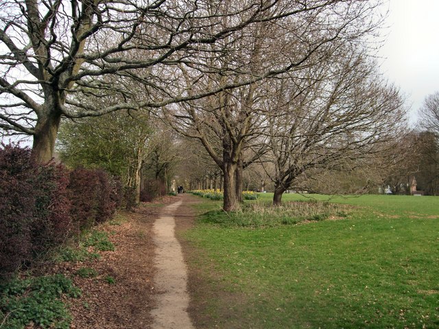
Nature enthusiasts can explore the ponds via designated walking trails and observation platforms, which offer breathtaking views of the surrounding landscape and its inhabitants. The site also provides educational opportunities, with information boards placed strategically throughout the area, offering insights into the local ecosystem and its conservation efforts.

Cup and Saucer Ponds is not only a haven for wildlife but also a place of relaxation and serenity for visitors. Its natural beauty and abundance of flora and fauna make it a must-visit destination for those seeking a peaceful escape amidst the stunning landscapes of Sussex.

If you have any feedback on the listing, please let us know in the comments section below.

Cup and Saucer Ponds Images

Images are sourced within 2km of 51.053189/-0.33398968 or Grid Reference TQ1629. Thanks to Geograph Open Source API. All images are credited.

Waitrose and John Lewis - off Albion Way The photo shows the upper level of the car park. There is a level below this as well.
Waitrose and John Lewis - off Albion Way
The photo shows the upper level of the car park. There is a level below this as well.
River Arun Overflow stream that maybe the original River Arun route. A higher level canal was cut for the mill.

River info : <span class="nowrap"><a title="https://en.wikipedia.org/wiki/River_Arun" rel="nofollow ugc noopener" href="https://en.wikipedia.org/wiki/River_Arun">Link</a><img style="margin-left:2px;" alt="External link" title="External link - shift click to open in new window" src="https://s1.geograph.org.uk/img/external.png" width="10" height="10"/></span>
River Arun
Overflow stream that maybe the original River Arun route. A higher level canal was cut for the mill. River info : LinkExternal link
Streets of Horsham Junction of Curzon Avenue and Vale Drive.
Streets of Horsham
Junction of Curzon Avenue and Vale Drive.
Waitrose and John Lewis store
Worthing Road, Horsham A pedestrianised section of Worthing Road, in the centre of Horsham, a town in West Sussex.
Worthing Road, Horsham
A pedestrianised section of Worthing Road, in the centre of Horsham, a town in West Sussex.
Horsham Bus Station A purpose-built bus terminus in Horsham, a town in West Sussex.  The bus station is quite small, accommodating just five buses, but has seating for waiting passengers.
Horsham Bus Station
A purpose-built bus terminus in Horsham, a town in West Sussex. The bus station is quite small, accommodating just five buses, but has seating for waiting passengers.
The Forum, Horsham The Forum is a public open space in Horsham, a town in West Sussex.
The Forum, Horsham
The Forum is a public open space in Horsham, a town in West Sussex.
Blackhorse Way, Horsham Blackhorse Way is a street in Horsham, a town in West Sussex.
Blackhorse Way, Horsham
Blackhorse Way is a street in Horsham, a town in West Sussex.
South Street, Horsham A short parade of shops in South Street, in the centre of Horsham.  The shop nearest the camera is a café.
South Street, Horsham
A short parade of shops in South Street, in the centre of Horsham. The shop nearest the camera is a café.
Causeway, Horsham Causeway is a residential street close to the town centre in Horsham, West Sussex.
Causeway, Horsham
Causeway is a residential street close to the town centre in Horsham, West Sussex.
Carfax, Horsham Carfax is a street in the centre of Horsham, a town in West Sussex.
Carfax, Horsham
Carfax is a street in the centre of Horsham, a town in West Sussex.
Carfax, Horsham Carfax is a street in the centre of Horsham, a market town in West Sussex.
Carfax, Horsham
Carfax is a street in the centre of Horsham, a market town in West Sussex.
Bandstand in Horsham A bandstand in Carfax, a street in the centre of Horsham.
Bandstand in Horsham
A bandstand in Carfax, a street in the centre of Horsham.
Hornbrook Hill The name of the section of the A281 between the junction with Sedgewick Lane and Doomsday Lane and the crossing of Horn Brook. Hornbrook Farm is on the right.
Hornbrook Hill
The name of the section of the A281 between the junction with Sedgewick Lane and Doomsday Lane and the crossing of Horn Brook. Hornbrook Farm is on the right.
Barrackfield Crossing Crossing the Arun Valley Line near Horsham
Barrackfield Crossing
Crossing the Arun Valley Line near Horsham
Rail Line viewed from Barrackfield Crossing On the Arun valley line between Horsham and Christ's Hospital
Rail Line viewed from Barrackfield Crossing
On the Arun valley line between Horsham and Christ's Hospital
Path by Horsham Cricket Field
Sheep and Blackthorn In the field crossed by footpath 1628/3 north of Christ's Hospital.
Sheep and Blackthorn
In the field crossed by footpath 1628/3 north of Christ's Hospital.
Show me another place!

Cup and Saucer Ponds is located at Grid Ref: TQ1629 (Lat: 51.053189, Lng: -0.33398968)

Administrative County: West Sussex

District: Horsham

Police Authority: Sussex

What 3 Words

///torch.wounds.tuck. Near Horsham, West Sussex

Related Wikis

Horsham Cricket Club

Horsham Cricket Club is one of the oldest cricket clubs in the world and represents the Sussex market town of Horsham in the Sussex Cricket League, along...
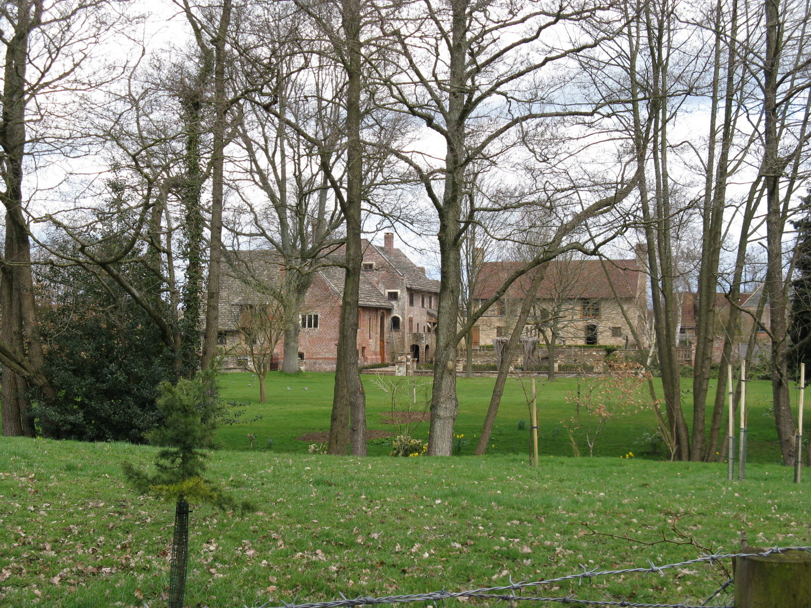
Chesworth House

Chesworth House is a former Tudor manor house, located a mile south of Horsham, West Sussex, England. The original Manor house became a farmhouse and has...

Copthorne F.C.

Copthorne Football Club is a football club based in Copthorne in West Sussex, England. They are currently members of the Southern Combination Division...

Horsham F.C.

Horsham Football Club are a non-League football club based in Horsham, West Sussex, England, currently playing in the Isthmian League Premier Division...

Haywards Heath Town F.C. Women

Haywards Heath Town F.C. Women (formerly Crawley Wasps Ladies FC) is an English women's football club, that currently plays in the FA Women's National...

Horsham YMCA F.C.

Horsham YMCA is a football club based in Horsham, West Sussex, England. They are currently members of the Southern Combination Premier Division and play...
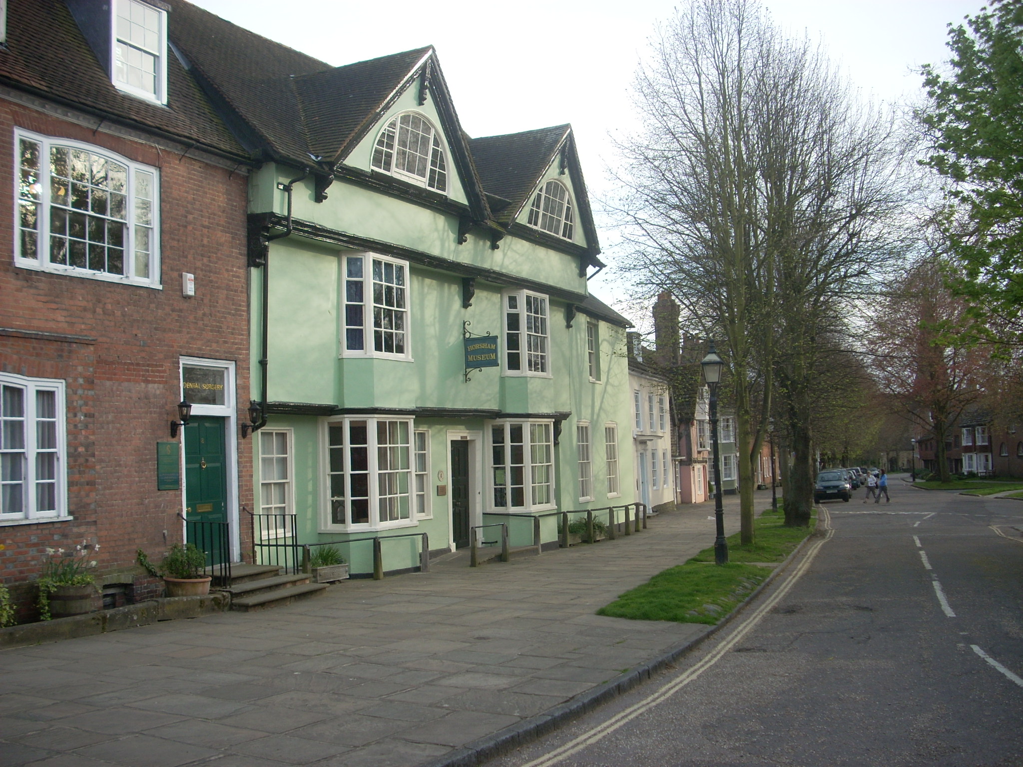
Horsham Museum

Horsham Museum is a museum at Horsham, West Sussex, in South East England. It was founded in August 1893 by volunteers of the Free Christian (now Unitarian...
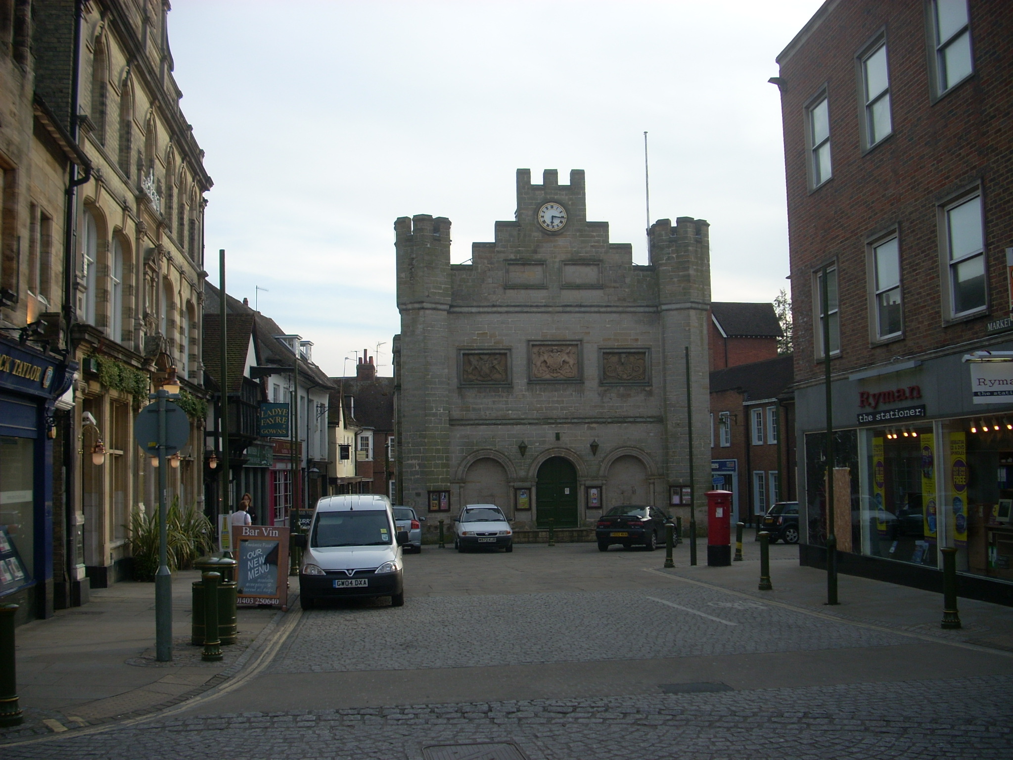
Horsham Town Hall

Horsham Town Hall is a municipal building in the Market Square in Horsham, West Sussex. It is a Grade II listed building. == History == The earliest mention...

Nearby Amenities

Located within 500m of 51.053189,-0.33398968
Source: Landsat photo
Lat/Long: 51.0564746/-0.3367683
Source: Landsat photo
Lat/Long: 51.0569732/-0.3329098
Denne Hill
Ele: 88
Natural: peak
Lat/Long: 51.0515887/-0.3300138
Denne Meadows Farm
Place: farm
Lat/Long: 51.0556322/-0.3289815
Barrier: kissing_gate
Foot: yes
Lat/Long: 51.0569386/-0.3305029
Bench
Backrest: yes
Material: metal
Lat/Long: 51.0550505/-0.3354746
Barrier: stile
Material: wood
Stile: stepover
Lat/Long: 51.0557332/-0.3384723
Barrier: stile
Material: wood
Stile: stepover
Lat/Long: 51.055757/-0.3374425
The data included in this document is from www.openstreetmap.org. The data is made available under ODbL.

Have you been to Cup and Saucer Ponds?

Leave your review of Cup and Saucer Ponds below (or comments, questions and feedback).