Leg of Mutton Pond
Lake, Pool, Pond, Freshwater Marsh in Middlesex
England
Leg of Mutton Pond
Leg of Mutton Pond, located in Middlesex, is a picturesque body of water that serves as a popular recreational spot for locals and tourists alike. This freshwater feature is often referred to as a lake, pool, pond, or freshwater marsh, owing to its size and diverse ecosystem.
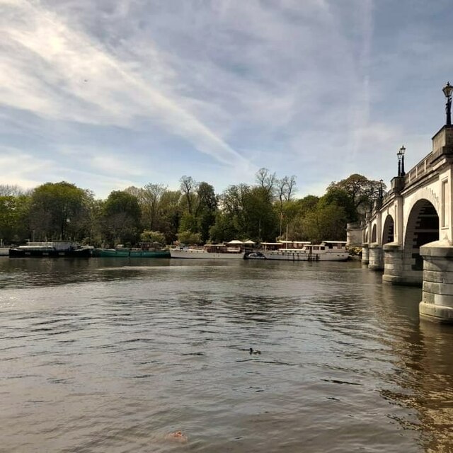
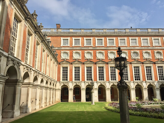
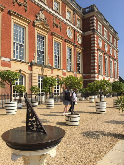
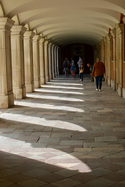
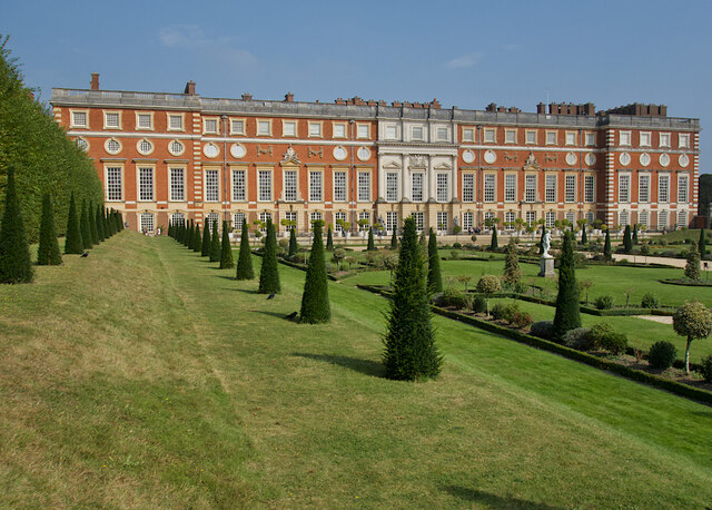
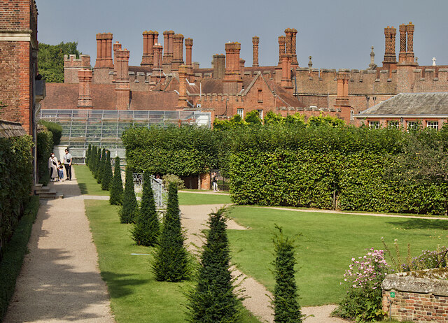
Spanning approximately 6 acres, Leg of Mutton Pond is nestled within the grounds of Bushy Park, one of the Royal Parks in London. The pond is surrounded by lush greenery and offers a tranquil escape from the bustling city. Its name is derived from its distinctive shape, resembling a leg of mutton when viewed from above.
The pond is fed by natural springs and rainwater runoff, ensuring a consistent supply of freshwater. This sustains a variety of aquatic plants and provides a habitat for numerous species of wildlife. Visitors can observe a diverse range of bird species, including swans, geese, ducks, and herons, which call the pond home.
Recreational activities abound at Leg of Mutton Pond. Many visitors enjoy leisurely walks along the water's edge, taking in the serene scenery and enjoying the fresh air. Fishing is also a popular pastime, with anglers casting their lines in hopes of catching carp, roach, and perch.
During the summer months, the pond becomes an ideal spot for picnics and family gatherings. A small café nearby offers refreshments and snacks for visitors to enjoy as they relax by the water. The pond's tranquil atmosphere and natural beauty make it a cherished destination for nature enthusiasts and those seeking a peaceful oasis in the heart of Middlesex.
If you have any feedback on the listing, please let us know in the comments section below.
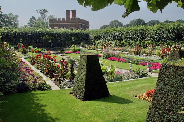
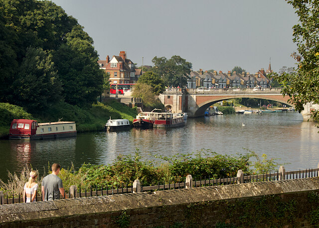
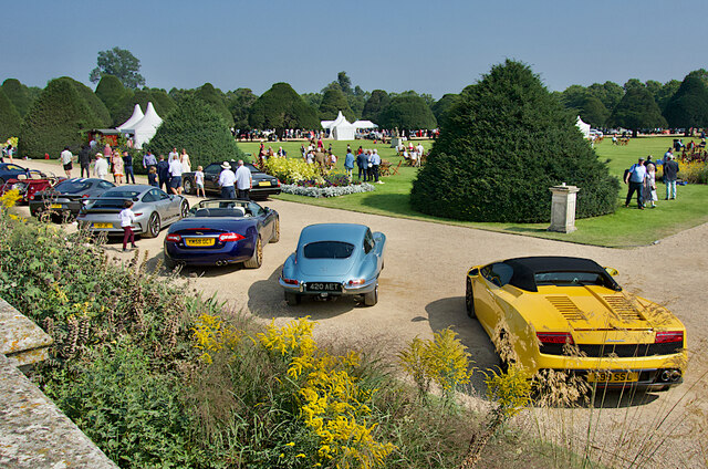
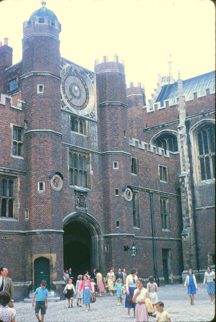
Leg of Mutton Pond Images
Images are sourced within 2km of 51.414614/-0.32321416 or Grid Reference TQ1669. Thanks to Geograph Open Source API. All images are credited.
Leg of Mutton Pond is located at Grid Ref: TQ1669 (Lat: 51.414614, Lng: -0.32321416)
Unitary Authority: Richmond upon Thames
Police Authority: Metropolitan
What 3 Words
///lined.villa.plots. Near Teddington, London
Nearby Locations
Related Wikis
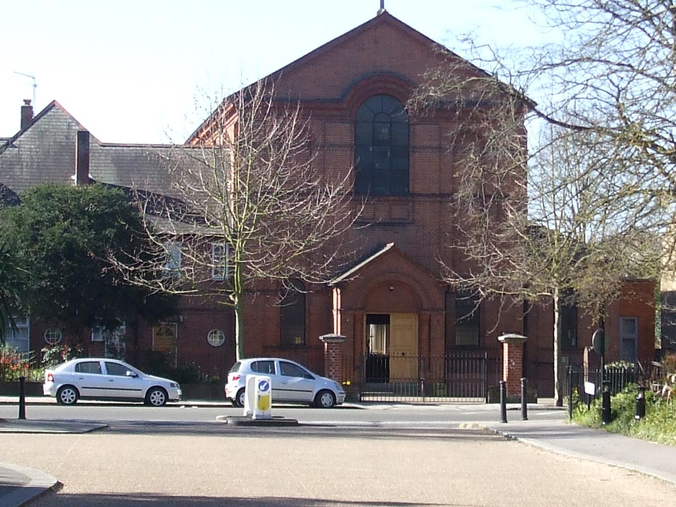
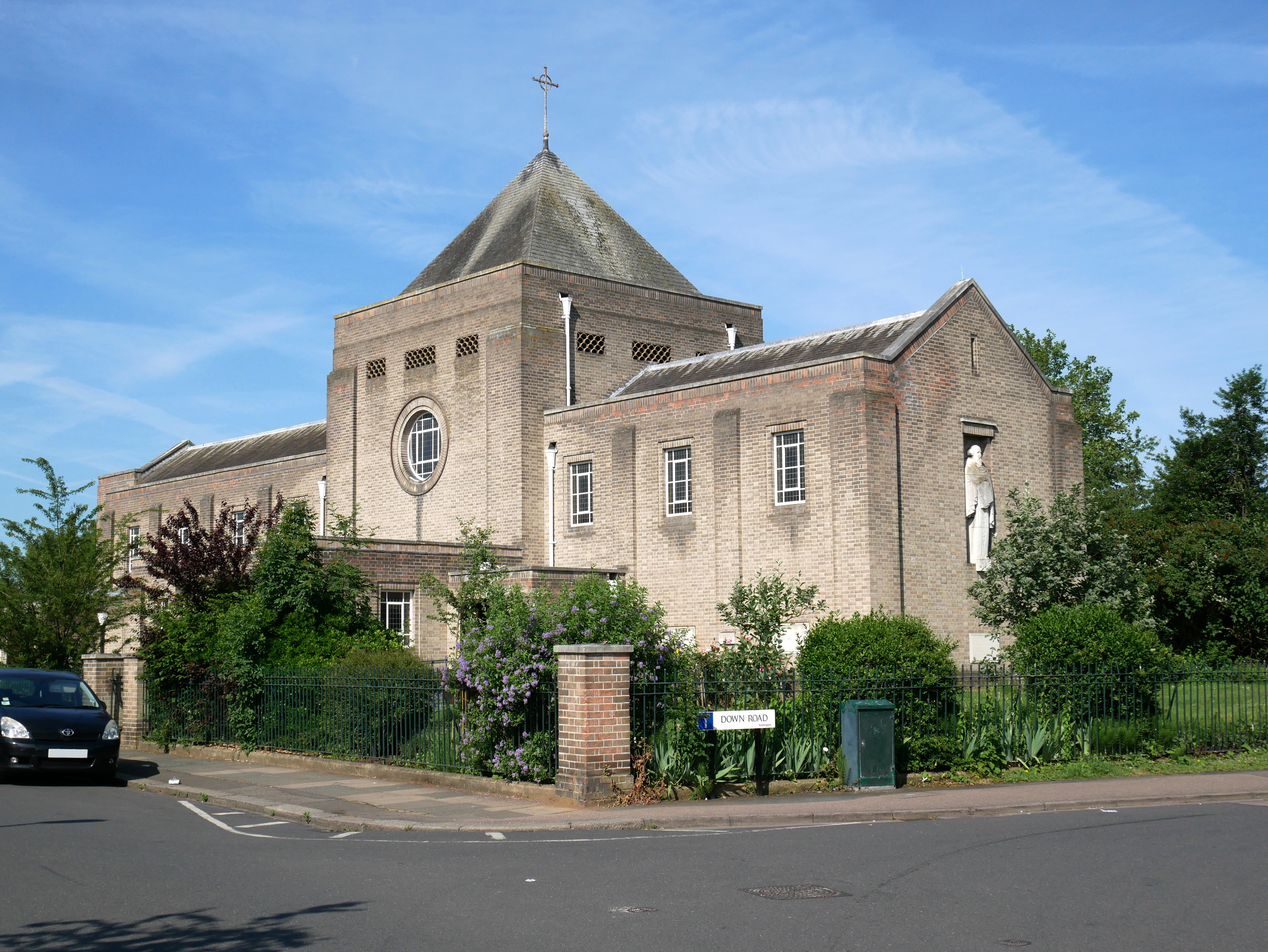
Sacred Heart Church, Teddington
Sacred Heart Church is a Roman Catholic church and parish in Teddington, southwest London, that serves the Catholic community of Teddington and Hampton...

Sacred Heart Primary School, Teddington
Sacred Heart Primary School is a Roman Catholic primary school in Teddington in the London Borough of Richmond upon Thames. == History == The school was...

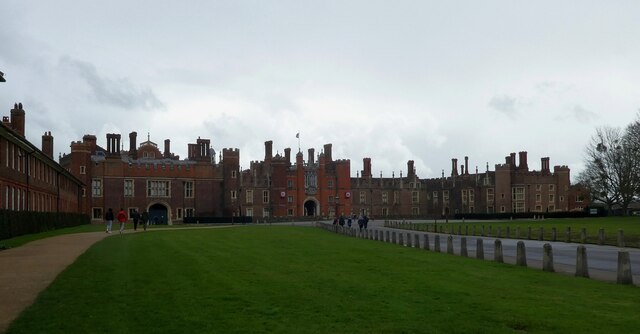
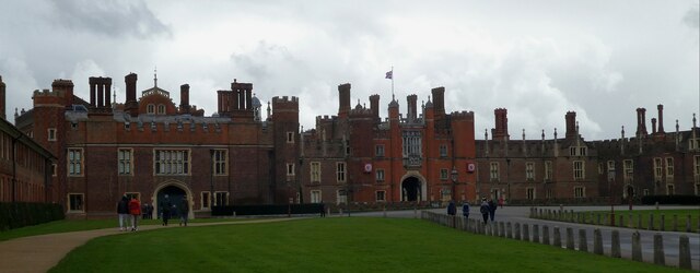
Camp Griffiss
Camp Griffiss was a US military base in the United Kingdom during and after World War II. Constructed within the grounds of Bushy Park in Middlesex, (now...
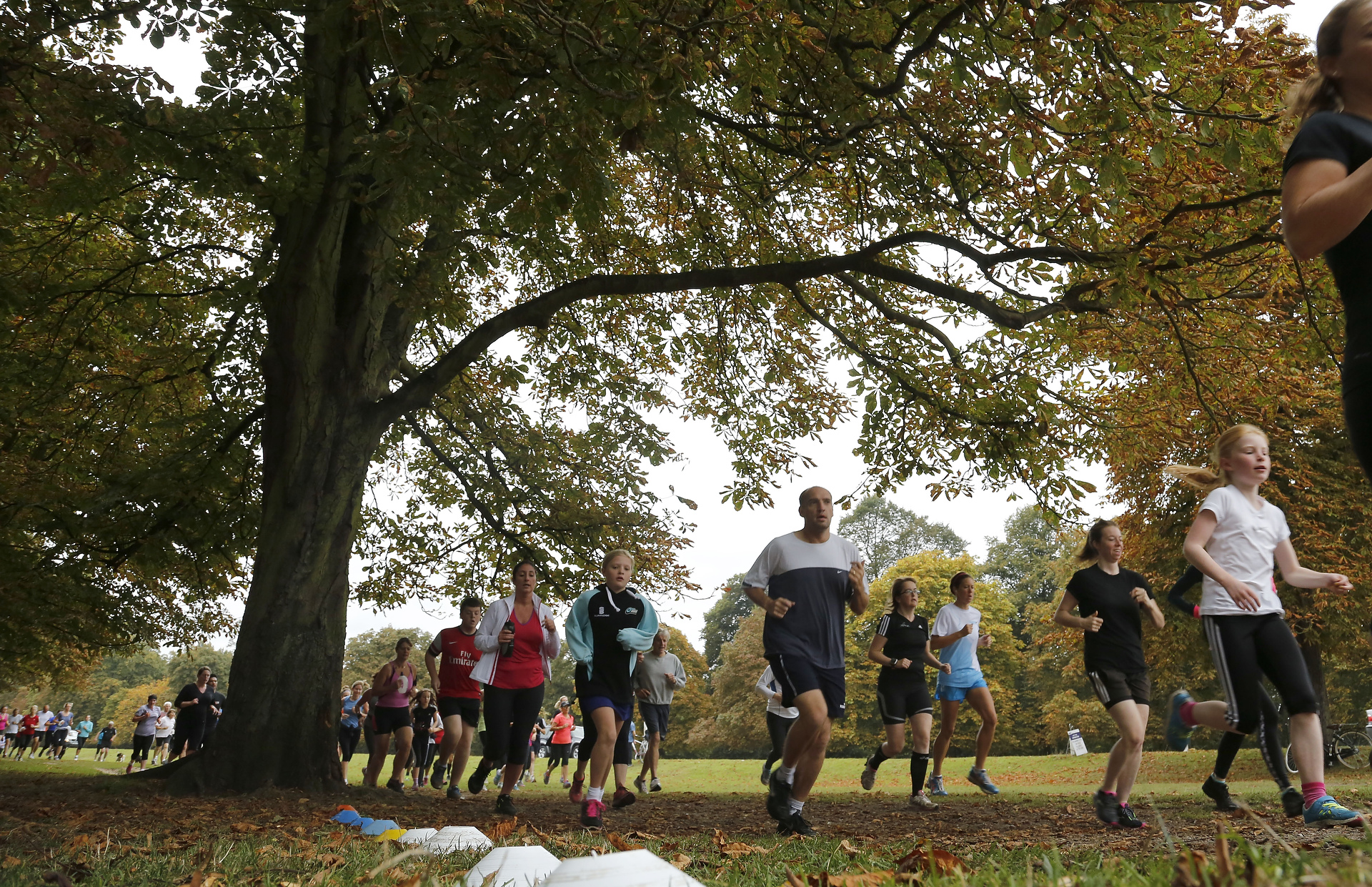
Bushy Parkrun
Bushy Parkrun (stylised Bushy parkrun) is a running event that takes place every Saturday morning at 9am in Bushy Park, Teddington, London. It was the...
Normansfield Theatre
The Normansfield Theatre is a Victorian era building in Teddington, England. The theatre is on the site of Normansfield Hospital, which was a self-sufficient...

London Borough of Richmond upon Thames
The London Borough of Richmond upon Thames () in southwest London, England forms part of Outer London and is the only London borough on both sides of the...
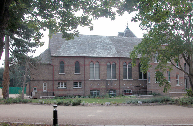
St Mark's, Teddington
St Mark's, Teddington, the parish church of South Teddington and Hampton Wick, is a Church of England church in the liberal Catholic tradition. It is...
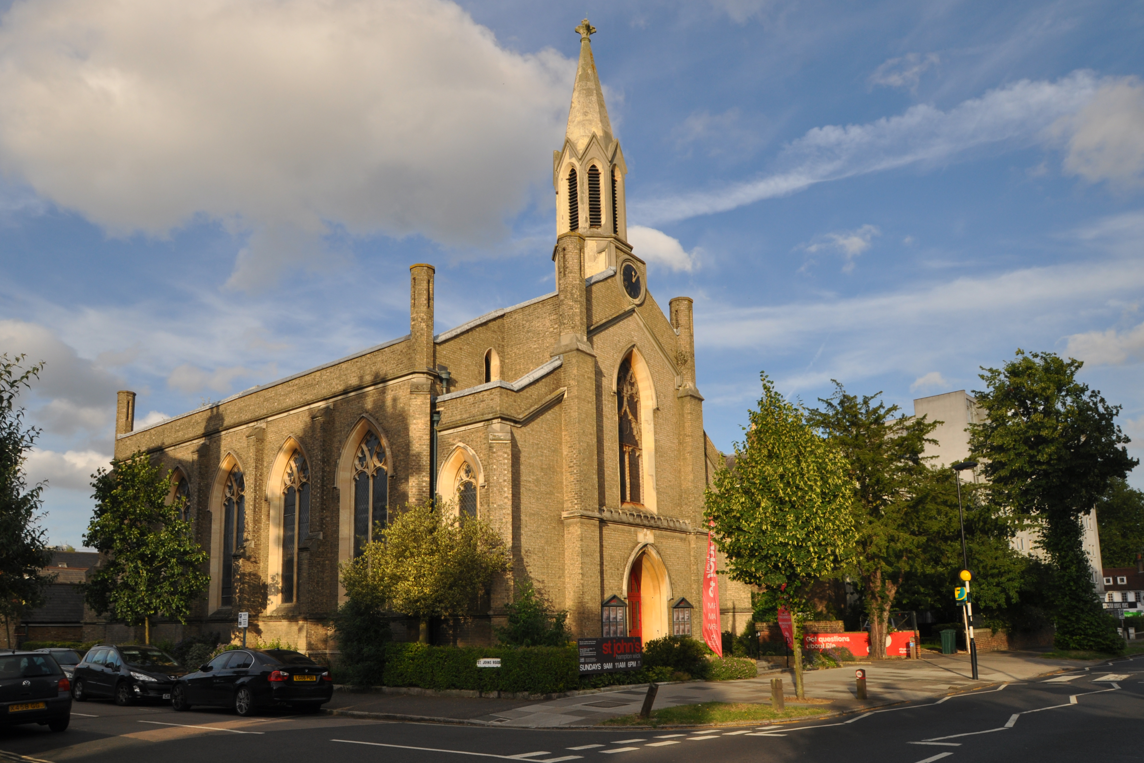
St John's Hampton Wick
St John's Hampton Wick is a Grade II listed Church of England church on Church Grove and St John's Road in Hampton Wick, in the London Borough of Richmond...
Nearby Amenities
Located within 500m of 51.414614,-0.32321416Have you been to Leg of Mutton Pond?
Leave your review of Leg of Mutton Pond below (or comments, questions and feedback).