Half Moon Plantation

Wood, Forest in Middlesex

England

Half Moon Plantation

Kingston Bridge
Kingston Bridge Credit: Alex McGregor

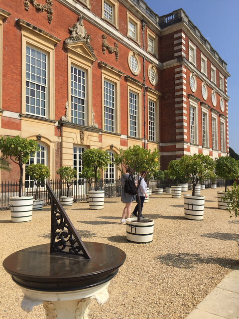
Half Moon Plantation is a charming estate located in Middlesex, a picturesque region known for its dense woodlands and thriving forests. Nestled amidst the natural beauty of the area, the plantation spans across a sprawling landscape, offering visitors a serene and tranquil retreat from the bustling city life.

The plantation takes its name from the unique shape of a half moon, which is formed by the gentle curve of the plantation's boundary. The lush greenery of the estate is dominated by a diverse range of trees, including oak, maple, pine, and birch, creating a majestic forest that is home to a variety of local wildlife.

Visitors to Half Moon Plantation can explore the vast network of walking trails that wind their way through the woods, providing a perfect opportunity to immerse oneself in nature. The trails offer breathtaking views of the surrounding landscape, with glimpses of babbling brooks, vibrant wildflowers, and occasional sightings of deer, squirrels, and various bird species.

The estate also features a charming wooden cabin, constructed from locally sourced timber, which offers a cozy and rustic accommodation option for those seeking a longer stay. The cabin is equipped with modern amenities, ensuring a comfortable and enjoyable experience for guests.

Half Moon Plantation is not only a haven for nature enthusiasts but also a popular destination for outdoor activities such as hiking, birdwatching, and photography. Its idyllic setting and serene ambiance make it a perfect escape for individuals and families looking to reconnect with nature and enjoy the beauty of Middlesex's woodlands.

If you have any feedback on the listing, please let us know in the comments section below.

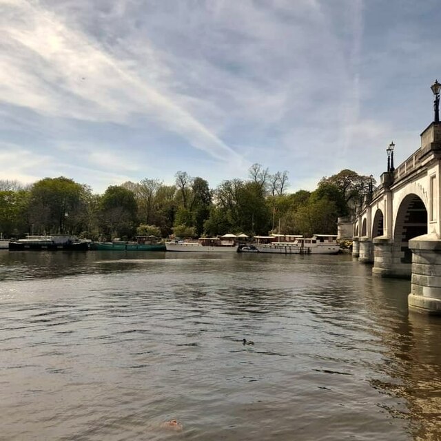
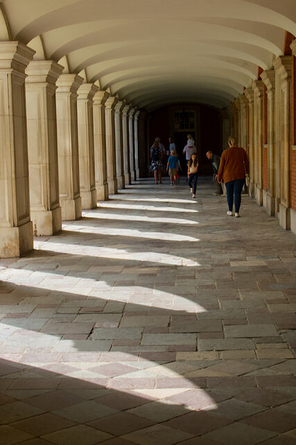
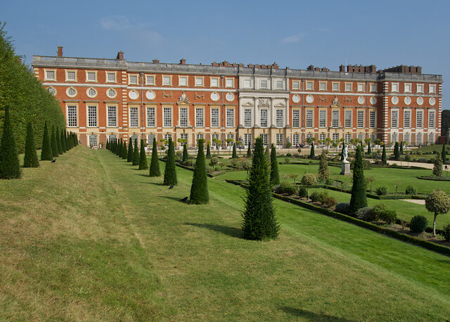
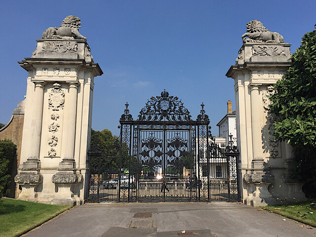
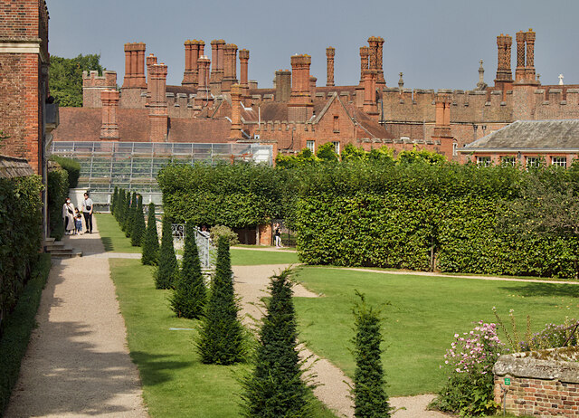
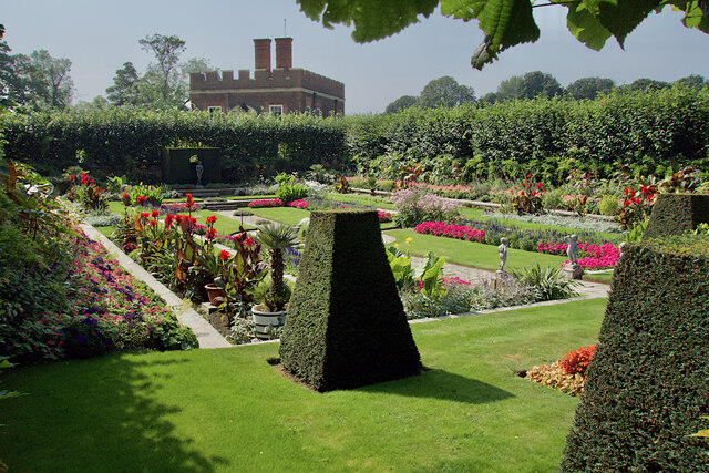
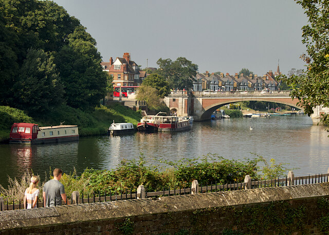
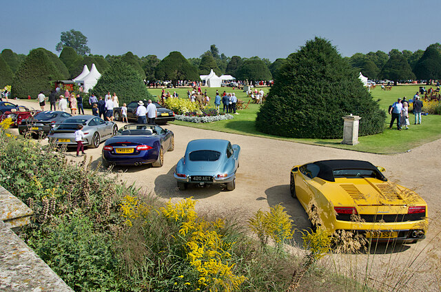
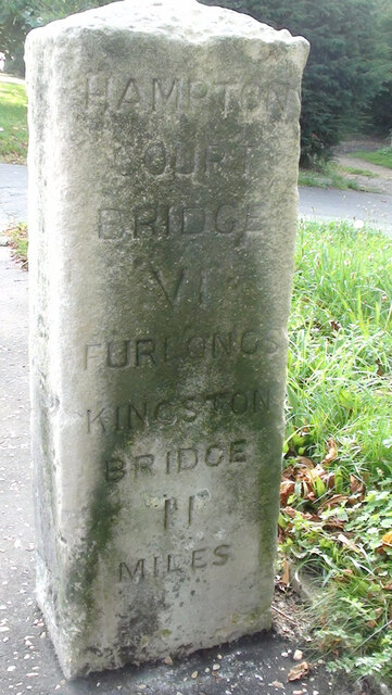
Half Moon Plantation Images

Images are sourced within 2km of 51.414904/-0.327187 or Grid Reference TQ1669. Thanks to Geograph Open Source API. All images are credited.

Kingston Bridge
Kingston Bridge
Old Milestone, Surbiton Road; near junction with Portsmouth Road The milestone is located on the forecourt at Woodbines Lodge (No.1), on the north east side of the road by the low wall in pavement. Parish of Surbiton (Kingston Upon Thames District. Carved stone post, Surrey limestone pillar design, erected by Epsom, Ewell, Tooting etc turnpike trust, 19th century. 

Inscription reads:-  IIII / MILES / (  EWELL) 

Grade II listed by Historic England, List Entry Number: 1358452  <span class="nowrap"><a title="https://historicengland.org.uk/listing/the-list/list-entry/1358452" rel="nofollow ugc noopener" href="https://historicengland.org.uk/listing/the-list/list-entry/1358452">Link</a><img style="margin-left:2px;" alt="External link" title="External link - shift click to open in new window" src="https://s1.geograph.org.uk/img/external.png" width="10" height="10"/></span> 

Milestone Society National ID: SY_EWKG04
Old Milestone, Surbiton Road; near junction with Portsmouth Road
The milestone is located on the forecourt at Woodbines Lodge (No.1), on the north east side of the road by the low wall in pavement. Parish of Surbiton (Kingston Upon Thames District. Carved stone post, Surrey limestone pillar design, erected by Epsom, Ewell, Tooting etc turnpike trust, 19th century. Inscription reads:- IIII / MILES / ( EWELL) Grade II listed by Historic England, List Entry Number: 1358452 LinkExternal link Milestone Society National ID: SY_EWKG04
Fountain Court, Hampton Court Palace Looking towards the north range from one of the cloisters around the court. It has been little altered since its creation by Sir Christopher Wren between 1689 and 1694. The ranges are some of the finest Baroque elevations in England. They hold state and private apartments built for William III and Mary II and used by the royal family until the mid-eighteenth century.
Fountain Court, Hampton Court Palace
Looking towards the north range from one of the cloisters around the court. It has been little altered since its creation by Sir Christopher Wren between 1689 and 1694. The ranges are some of the finest Baroque elevations in England. They hold state and private apartments built for William III and Mary II and used by the royal family until the mid-eighteenth century.
Henry VIII's kitchens at Hampton Court Palace The kitchens <span class="nowrap"><a title="https://www.hrp.org.uk/hampton-court-palace/history-and-stories/henry-viii-s-kitchens-at-hampton-court/" rel="nofollow ugc noopener" href="https://www.hrp.org.uk/hampton-court-palace/history-and-stories/henry-viii-s-kitchens-at-hampton-court/">Link</a><img style="margin-left:2px;" alt="External link" title="External link - shift click to open in new window" src="https://s1.geograph.org.uk/img/external.png" width="10" height="10"/></span> were the largest in Tudor England. Two hundred staff worked to produce over 800 meals a day for the royal household of Henry VIII. Some current staff, in period costume, recreate Tudor techniques for visitors, although the covid-protection masks they wear are a more contemporary touch.
Henry VIII's kitchens at Hampton Court Palace
The kitchens LinkExternal link were the largest in Tudor England. Two hundred staff worked to produce over 800 meals a day for the royal household of Henry VIII. Some current staff, in period costume, recreate Tudor techniques for visitors, although the covid-protection masks they wear are a more contemporary touch.
Terrace, Hampton Court Palace This runs along the south side of the palace above the Privy Garden.
Terrace, Hampton Court Palace
This runs along the south side of the palace above the Privy Garden.
Pumpkin patch, Hampton Court A pair of woven willow figures among the ripening squashes and gourds in the walled kitchen garden to the north-west of the palace.
Pumpkin patch, Hampton Court
A pair of woven willow figures among the ripening squashes and gourds in the walled kitchen garden to the north-west of the palace.
Sunflowers, Hampton Court An extensive bed of the flowers in the north-eastern corner of the large walled kitchen gardens at the palace.
Sunflowers, Hampton Court
An extensive bed of the flowers in the north-eastern corner of the large walled kitchen gardens at the palace.
Clock Court, Hampton Court Palace With the eponymous astronomical timepiece in the gatehouse seen here, it was installed in 1540. It has been restored twice, most recently back to its original form in 2007-8. The gatehouse is also known as Anne Boleyn's gate.
Clock Court, Hampton Court Palace
With the eponymous astronomical timepiece in the gatehouse seen here, it was installed in 1540. It has been restored twice, most recently back to its original form in 2007-8. The gatehouse is also known as Anne Boleyn's gate.
Cloister, Hampton Court Palace One of the passages that run around the edge of Fountain Court. This one is under the north range which was designed by Sir Christopher Wren.
Cloister, Hampton Court Palace
One of the passages that run around the edge of Fountain Court. This one is under the north range which was designed by Sir Christopher Wren.
Privy Garden, Hampton Court Looking towards the south face of Hampton Court Palace across the Privy (ie private) Garden, a restoration of William III's baroque Privy Garden of 1702. The grounds were recreated using the original plant varieties.
Privy Garden, Hampton Court
Looking towards the south face of Hampton Court Palace across the Privy (ie private) Garden, a restoration of William III's baroque Privy Garden of 1702. The grounds were recreated using the original plant varieties.
Lion Gates, Hampton Court Seen from inside the park, the entrance to the palace grounds (not currently in use) at their northern end, opposite Bushey Park and close to the famous maze. They are said to have been designed by Christopher Wren for Queen Anne and George I.
Lion Gates, Hampton Court
Seen from inside the park, the entrance to the palace grounds (not currently in use) at their northern end, opposite Bushey Park and close to the famous maze. They are said to have been designed by Christopher Wren for Queen Anne and George I.
Pond Garden, Hampton Court To the west of the Privy Garden, this sunken garden was once a medieval fish farm. The drained, south-facing walled compartments provided shelter for tender exotic plants, particularly those collected by Mary II from all over the world.

The glasshouse visible in the distance contains the Great Vine, thought to be the oldest (and largest) in the world, a Black Hamburg eating variety, planted in 1768 by Lancelot Capability Brown.
Pond Garden, Hampton Court
To the west of the Privy Garden, this sunken garden was once a medieval fish farm. The drained, south-facing walled compartments provided shelter for tender exotic plants, particularly those collected by Mary II from all over the world. The glasshouse visible in the distance contains the Great Vine, thought to be the oldest (and largest) in the world, a Black Hamburg eating variety, planted in 1768 by Lancelot Capability Brown.
Sunken garden, Hampton Court One of the hedged formal gardens in the Pond Garden to the west of the Privy Garden. This was once a medieval fish farm. The drained, south-facing walled compartments provided shelter for tender exotic plants, particularly those collected by Mary II from all over the world.
Sunken garden, Hampton Court
One of the hedged formal gardens in the Pond Garden to the west of the Privy Garden. This was once a medieval fish farm. The drained, south-facing walled compartments provided shelter for tender exotic plants, particularly those collected by Mary II from all over the world.
Over the garden wall, Hampton Court Looking from the Pond Garden at Hampton Court Palace towards the Thames and Hampton Court Bridge.
Over the garden wall, Hampton Court
Looking from the Pond Garden at Hampton Court Palace towards the Thames and Hampton Court Bridge.
Car show, Hampton Court Seen from the Privy Garden, a few of the many hundreds of rare and expensive cars on display at the 'Concours of Elegance' held in Hampton Court Park which, as a result, was off limits to visitors to the palace.
Car show, Hampton Court
Seen from the Privy Garden, a few of the many hundreds of rare and expensive cars on display at the 'Concours of Elegance' held in Hampton Court Park which, as a result, was off limits to visitors to the palace.
Old Milestone A308, Hampton Court Road Carved stone post by the A308, in parish of TEDDINGTON AND HAMPTON (RICHMOND UPON THAMES District), Hampton Court Road, Hampton, opposite Western end of Taggs Island; opposite Boat House, East of St Alban's Lodge, in park, on South side of road. Erected by the Staines & Hampton turnpike trust in the 19th century. Eastern face see <a href="https://www.geograph.org.uk/photo/6060937">TQ1469 : Old Milestone by the A308, Hampton Court Road, Hampton</a>

Inscription reads:-
HAMPTON / COURT / BRIDGE / VI / FURLONGS / KINGSTON / BRIDGE / II / MILES //
HAMPTON / PARISH // 
SUNBURY / II / MILES / STAINES / VII / MILES / WINDSOR / XIII / MILES

Rivet benchmark on top representing 11.3 m ASL.

Grade II Listed see <span class="nowrap"><a title="https://historicengland.org.uk/listing/the-list/list-entry/1065454" rel="nofollow ugc noopener" href="https://historicengland.org.uk/listing/the-list/list-entry/1065454">Link</a><img style="margin-left:2px;" alt="External link" title="External link - shift click to open in new window" src="https://s1.geograph.org.uk/img/external.png" width="10" height="10"/></span>

Milestone Society National ID: MX_STHP07
Old Milestone A308, Hampton Court Road
Carved stone post by the A308, in parish of TEDDINGTON AND HAMPTON (RICHMOND UPON THAMES District), Hampton Court Road, Hampton, opposite Western end of Taggs Island; opposite Boat House, East of St Alban's Lodge, in park, on South side of road. Erected by the Staines & Hampton turnpike trust in the 19th century. Eastern face see TQ1469 : Old Milestone by the A308, Hampton Court Road, Hampton Inscription reads:- HAMPTON / COURT / BRIDGE / VI / FURLONGS / KINGSTON / BRIDGE / II / MILES // HAMPTON / PARISH // SUNBURY / II / MILES / STAINES / VII / MILES / WINDSOR / XIII / MILES Rivet benchmark on top representing 11.3 m ASL. Grade II Listed see LinkExternal link Milestone Society National ID: MX_STHP07
Hampton Court Palace Summer crowds at the main entrance to the palace in the mid 50's.
Hampton Court Palace
Summer crowds at the main entrance to the palace in the mid 50's.
Hampton Court - view from grounds to northwest of palace This is a general view of the western façade of Hampton Court Palace from the grounds to its west.
Hampton Court - view from grounds to northwest of palace
This is a general view of the western façade of Hampton Court Palace from the grounds to its west.
Show me another place!

Half Moon Plantation is located at Grid Ref: TQ1669 (Lat: 51.414904, Lng: -0.327187)

Unitary Authority: Richmond upon Thames

Police Authority: Metropolitan

What 3 Words

///liver.magma.grape. Near Teddington, London

Related Wikis

London Borough of Richmond upon Thames

The London Borough of Richmond upon Thames () in southwest London, England forms part of Outer London and is the only London borough on both sides of the...
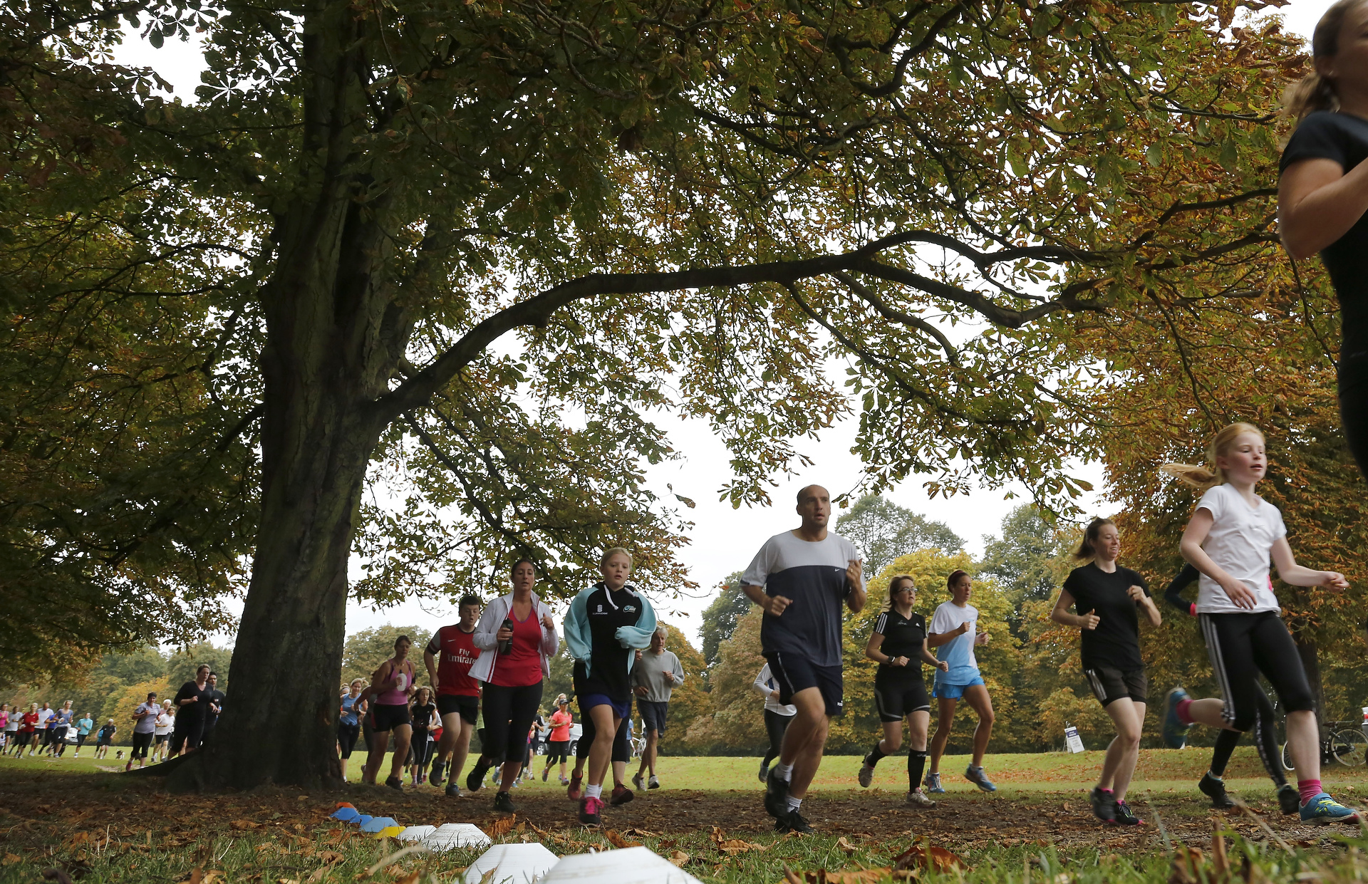
Bushy Parkrun

Bushy Parkrun (stylised Bushy parkrun) is a running event that takes place every Saturday morning at 9am in Bushy Park, Teddington, London. It was the...

Camp Griffiss

Camp Griffiss was a US military base in the United Kingdom during and after World War II. Constructed within the grounds of Bushy Park in Middlesex, (now...

Sacred Heart Primary School, Teddington

Sacred Heart Primary School is a Roman Catholic primary school in Teddington in the London Borough of Richmond upon Thames. == History == The school was...

St Mark's, Teddington

St Mark's, Teddington, the parish church of South Teddington and Hampton Wick, is a Church of England church in the liberal Catholic tradition. It is...

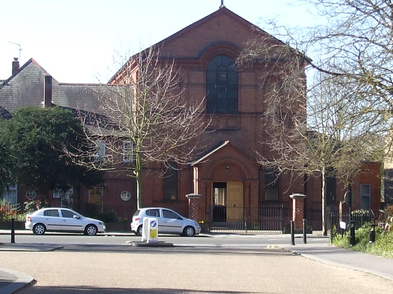
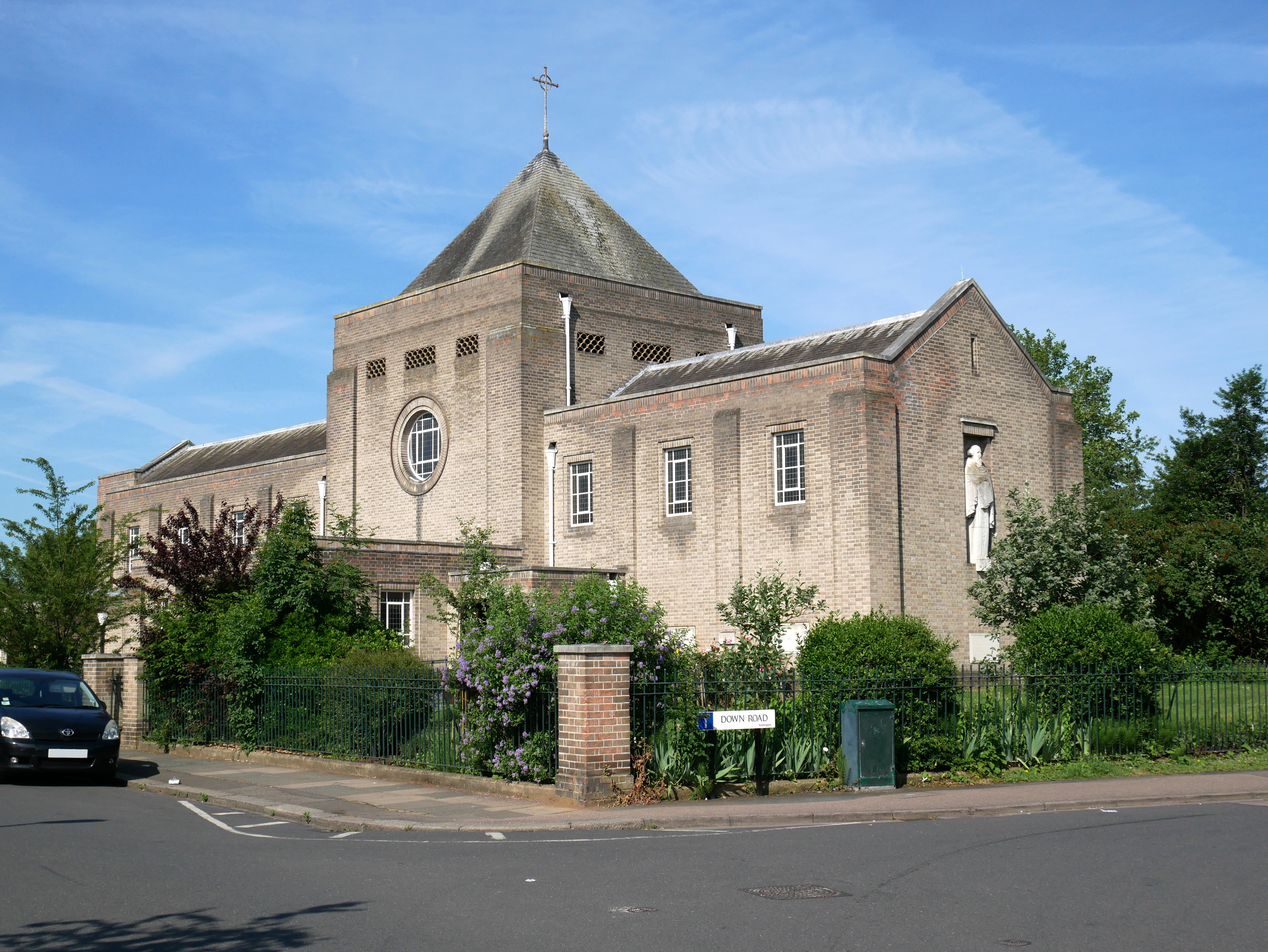
Sacred Heart Church, Teddington

Sacred Heart Church is a Roman Catholic church and parish in Teddington, southwest London, that serves the Catholic community of Teddington and Hampton...

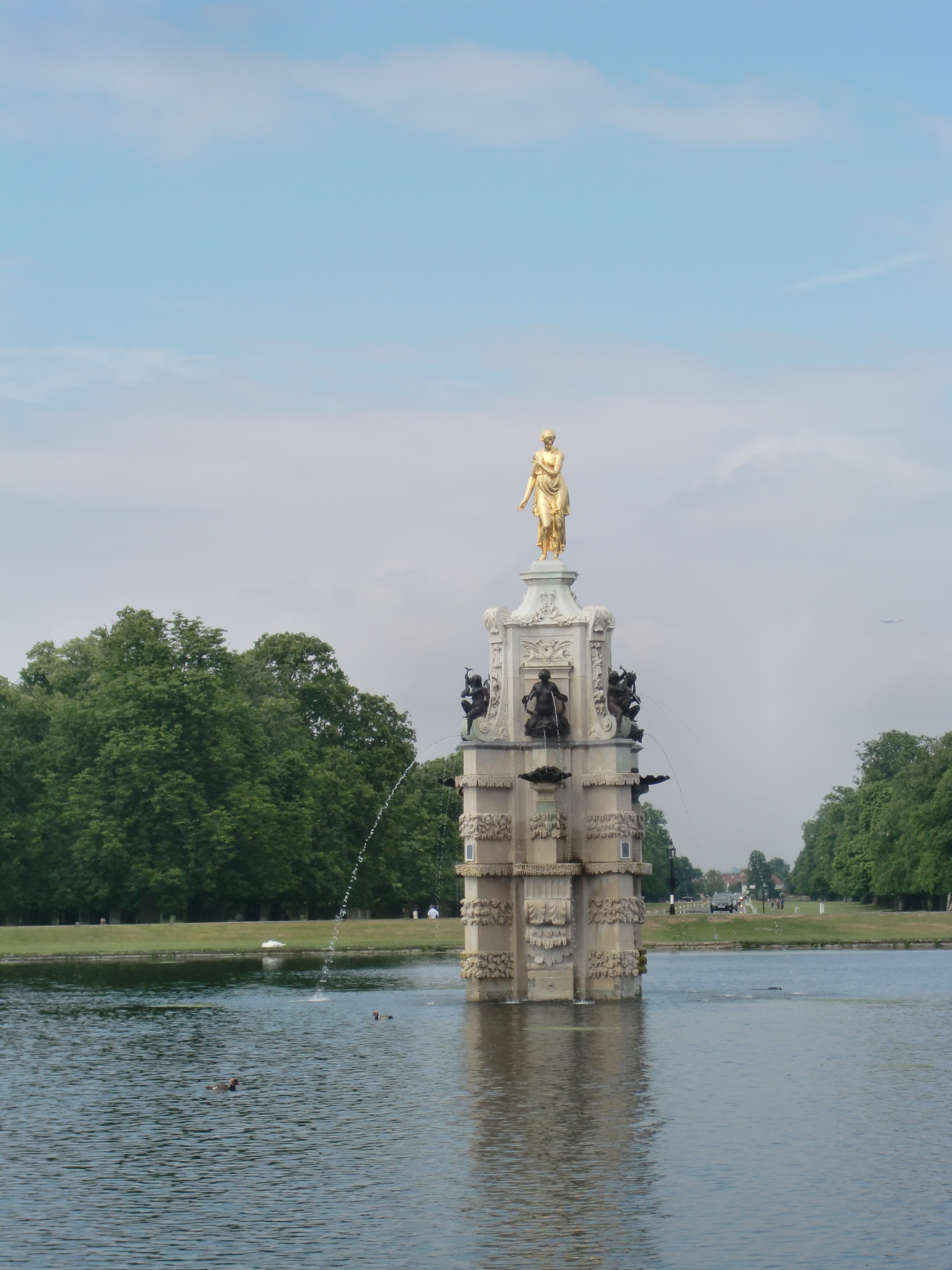
Diana Fountain, Bushy Park

The Diana Fountain in Bushy Park, in the London Borough of Richmond upon Thames, England, is a seventeenth-century statue ensemble and water feature in...
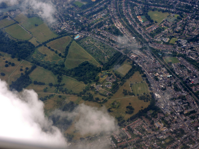
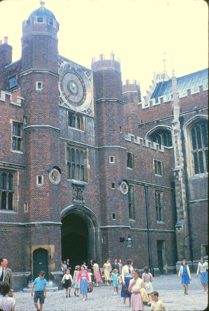
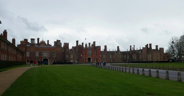
Bushy Park

Bushy Park in the London Borough of Richmond upon Thames is the second largest of London's Royal Parks, at 445 hectares (1,100 acres) in area, after Richmond...

Nearby Amenities

Located within 500m of 51.414904,-0.327187
Historic: water_pump
Wikimedia Commons: File:Historic Water Pump, Bushy Park.jpg
Lat/Long: 51.4142144/-0.3340152
Speed Camera
Maxspeed: 20 mph
Lat/Long: 51.418084/-0.3221566
Ford: yes
Intermittent: yes
Lat/Long: 51.4149024/-0.3280022
Ford: yes
Intermittent: yes
Lat/Long: 51.4151211/-0.3297124
Ford: yes
Intermittent: yes
Lat/Long: 51.4151744/-0.3291296
Noexit: yes
Lat/Long: 51.418365/-0.328039
SHAEF Memorial
Historic: memorial
Lat/Long: 51.41841/-0.3280308
Bench
Backrest: yes
Material: wood
Seats: 4
Lat/Long: 51.4153541/-0.3246441
Lit: no
Man Made: flagpole
Lat/Long: 51.4184464/-0.3280011
Historic: memorial
Inscription: THIS IS THE SITE OF THE NORTH WEST CORNER OF "B" BLOCK, CAMP GRIFFISS, HEADQUARTERS OF THE 8TH USAAF FROM JUNE 1942 AND AFTERWARDS OF THE USSAFE FROM JANUARY 1944
Material: metal
Memorial: plaque
Lat/Long: 51.4191701/-0.3259387
Historic: memorial
Inscription: THIS IS THE SITE OF THE NORTH EAST CORNER OF "B" BLOCK, CAMP GRIFFISS, HEADQUARTERS OF THE 8TH USAAF FROM JUNE 1942 AND AFTERWARDS OF THE USSAFE FROM JANUARY 1944
Material: metal
Memorial: plaque
Lat/Long: 51.4186222/-0.3242966
Historic: memorial
Inscription: THIS IS THE SITE OF THE SOUTH EAST CORNER OF "B" BLOCK, CAMP GRIFFISS, HEADQUARTERS OF THE 8TH USAAF FROM JUNE 1942 AND AFTERWARDS OF THE USSAFE FROM JANUARY 1944
Material: metal
Memorial: plaque
Lat/Long: 51.4182278/-0.3245702
Historic: memorial
Inscription: THIS IS THE SITE OF THE SOUTH WEST CORNER OF "B" BLOCK, CAMP GRIFFISS, HEADQUARTERS OF THE 8TH USAAF FROM JUNE 1942 AND AFTERWARDS OF THE USSAFE FROM JANUARY 1944
Material: metal
Memorial: plaque
Lat/Long: 51.4187203/-0.3261626
Historic: memorial
Inscription: THIS IS THE SITE OF THE NORTH EAST CORNER OF "C" BLOCK, CAMP GRIFFISS, C BLOCK WAS THE SUPREME HEADQUARTERS OF THE ALLIED EXPEDITIONARY FORCE
Material: metal
Memorial: plaque
Lat/Long: 51.4188174/-0.3276642
Historic: memorial
Inscription: THIS IS THE SITE OF THE SOUTH WEST CORNER OF "C" BLOCK, CAMP GRIFFISS, C BLOCK WAS THE SUPREME HEADQUARTERS OF THE ALLIED EXPEDITIONARY FORCE
Material: metal
Memorial: plaque
Lat/Long: 51.4188452/-0.3297018
Historic: memorial
Inscription: THIS IS THE SITE OF THE NORTH EAST CORNER OF "D" BLOCK, CAMP GRIFFISS, HEADQUARTERS OF THE 8TH USAAF FROM JUNE 1942 AND AFTERWARDS OF THE USSAFE FROM JANUARY 1944
Material: metal
Memorial: plaque
Lat/Long: 51.4172321/-0.3228483
Historic: memorial
Inscription: THIS IS THE SITE OF THE SOUTH EAST CORNER OF "D" BLOCK, CAMP GRIFFISS, HEADQUARTERS OF THE 8TH USAAF FROM JUNE 1942 AND AFTERWARDS OF THE USSAFE FROM JANUARY 1944
Material: metal
Memorial: plaque
Lat/Long: 51.4168591/-0.3232972
Historic: memorial
Inscription: THIS IS THE SITE OF THE NORTH WEST CORNER OF "D" BLOCK, CAMP GRIFFISS, HEADQUARTERS OF THE 8TH USAAF FROM JUNE 1942 AND AFTERWARDS OF THE USSAFE FROM JANUARY 1944
Material: metal
Memorial: plaque
Lat/Long: 51.4177851/-0.3243729
The data included in this document is from www.openstreetmap.org. The data is made available under ODbL.

Have you been to Half Moon Plantation?

Leave your review of Half Moon Plantation below (or comments, questions and feedback).