Hammonds End Farm Pond

Lake, Pool, Pond, Freshwater Marsh in Hertfordshire St. Albans

England

Hammonds End Farm Pond

The Queens Head, Harpenden It was painted in 2021
The Queens Head, Harpenden Credit: David Howard

Hammonds End Farm Pond, situated in Hertfordshire, is a picturesque freshwater body encompassing an area of serene beauty. Nestled amidst the rolling countryside, this idyllic pond serves as a captivating oasis for both visitors and local wildlife.

With its origins dating back several centuries, Hammonds End Farm Pond has a rich history. Originally formed as a result of natural water collection and land drainage, the pond has evolved into a diverse ecosystem. Surrounded by lush vegetation, it is home to an array of flora and fauna, attracting a myriad of bird species, amphibians, and insects.

The pond itself spans approximately 2 acres, offering a peaceful retreat for nature enthusiasts and photographers alike. Its crystal-clear waters provide a habitat for various fish species, including perch and roach, making it a popular destination for anglers seeking a tranquil fishing experience.

The surrounding area of Hammonds End Farm Pond boasts a diverse landscape. Adjacent to the pond, a freshwater marsh can be found, supporting a variety of wetland plants such as reeds and water lilies. This marshland provides a haven for numerous water-dwelling creatures, including frogs, newts, and dragonflies.

The pond is easily accessible, with a footpath running alongside it, allowing visitors to enjoy leisurely walks while taking in the scenic views. Its tranquil ambiance, combined with the harmonious sounds of nature, makes it an ideal spot for relaxation and reflection.

Hammonds End Farm Pond is a cherished natural feature of Hertfordshire, offering a peaceful respite from the hustle and bustle of everyday life. Its captivating beauty and thriving ecosystem make it a must-visit destination for nature lovers and those seeking solace in the great outdoors.

If you have any feedback on the listing, please let us know in the comments section below.

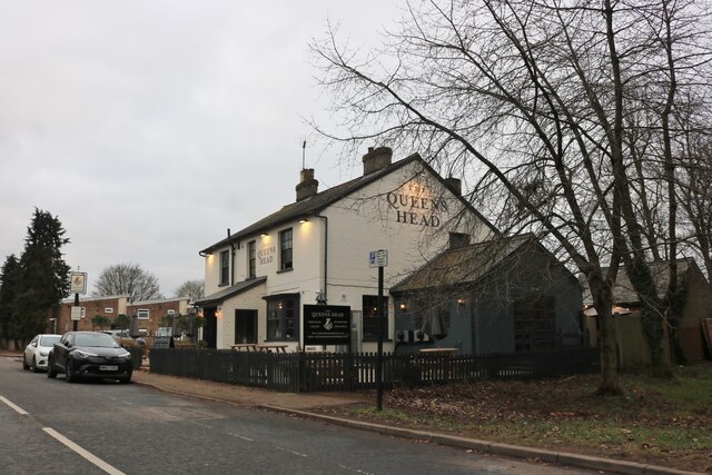
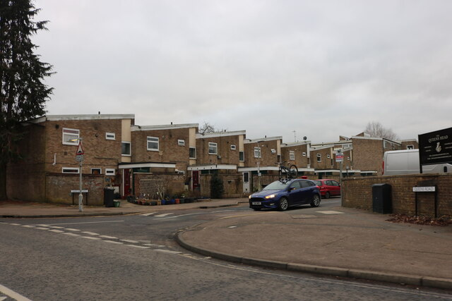
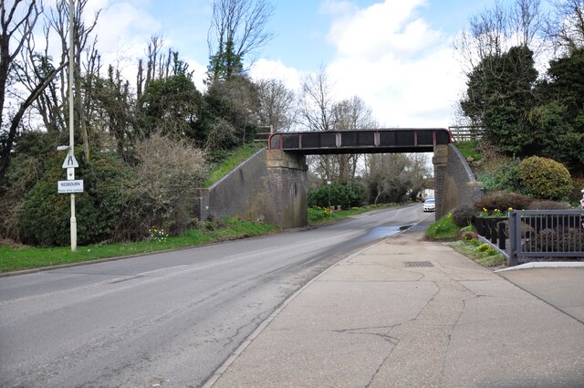
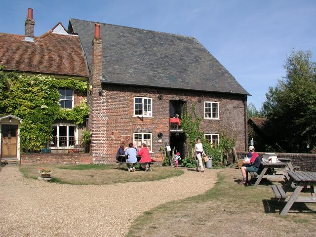
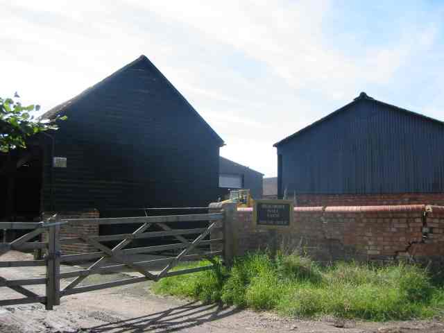
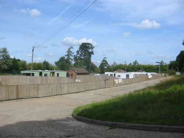
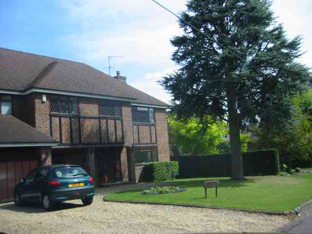
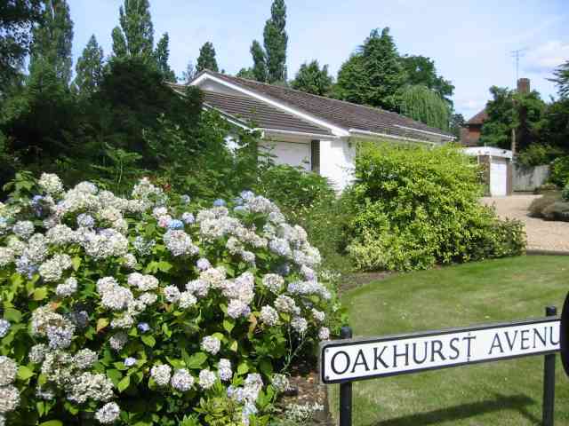
Hammonds End Farm Pond Images

Images are sourced within 2km of 51.797405/-0.37080248 or Grid Reference TL1212. Thanks to Geograph Open Source API. All images are credited.

The Queens Head, Harpenden It was painted in 2021
The Queens Head, Harpenden
It was painted in 2021
Queens Road, Harpenden From Southdown Road
Queens Road, Harpenden
From Southdown Road
Bridge over Redbourn High Street The disused railway bridge crossing Redbourn High Street, once the A5.  The single line ran from Harpenden to Hemel Hempstead and was built by the Midland Railway.  Passenger services ceased in 1947, but the full length of the line was not closed and removed until 1982.  Nowadays a large part of the line is used as a cycleway and footpath, known as the 'Nickey Line'.
Bridge over Redbourn High Street
The disused railway bridge crossing Redbourn High Street, once the A5. The single line ran from Harpenden to Hemel Hempstead and was built by the Midland Railway. Passenger services ceased in 1947, but the full length of the line was not closed and removed until 1982. Nowadays a large part of the line is used as a cycleway and footpath, known as the 'Nickey Line'.
Redbournbury Mill
Redbournbury Mill
Redbourn Village This village green is huge
Redbourn Village
This village green is huge
Beaumont Hall Farm Farm buildings painted black and with the sun behind them
Beaumont Hall Farm
Farm buildings painted black and with the sun behind them
Entrance gates to  Rothamsted and the Farm There was also a sign warning of concealed CCTV cameras.
Entrance gates to Rothamsted and the Farm
There was also a sign warning of concealed CCTV cameras.
Fly tipping sign at Rothamsted One must assume that the fly tipper couldn't read or perhaps the words should be wouldn't read
Fly tipping sign at Rothamsted
One must assume that the fly tipper couldn't read or perhaps the words should be wouldn't read
New Housing called The Park, Redbourn The design is simple without bits planted on.
New Housing called The Park, Redbourn
The design is simple without bits planted on.
A traveller's campsite at Redbourn The site is well hidden from the highway but road surfaces seems excessive.Extra  plots would have been more useful
A traveller's campsite at Redbourn
The site is well hidden from the highway but road surfaces seems excessive.Extra plots would have been more useful
Harpenden Rugby Football Club This is near to Hatching Green on the B487
Harpenden Rugby Football Club
This is near to Hatching Green on the B487
House in Oakhurst Ave Hatching Green The half timber work looks slightly authentic but what about the  glazing.
House in Oakhurst Ave Hatching Green
The half timber work looks slightly authentic but what about the glazing.
House in Oakhurst Avenue Hatching Green This house has a very different character from <a title="https://www.geograph.org.uk/photo/42201" href="https://www.geograph.org.uk/photo/42201">Link</a> with none of its pretentiousness.
House in Oakhurst Avenue Hatching Green
This house has a very different character from Link with none of its pretentiousness.
House in Oakfield Road Hatching Green I couldn't resist taking a photograph of this monster. Price range £1,000,000 perhaps.
House in Oakfield Road Hatching Green
I couldn't resist taking a photograph of this monster. Price range £1,000,000 perhaps.
Harpenden Common towards the town The rough patches and bushes make it an interesting place to walk
Harpenden Common towards the town
The rough patches and bushes make it an interesting place to walk
Housing group in Queens Road Harpenden  Common These pleasant houses face on to the common on the east side
Housing group in Queens Road Harpenden Common
These pleasant houses face on to the common on the east side
The Skew Bridge Pub at end of Queens Rd Harpenden This is just around the corner from the common but is on a noisy road.
The Skew Bridge Pub at end of Queens Rd Harpenden
This is just around the corner from the common but is on a noisy road.
Skew Bridge Southdown Rd  Harpenden When railways crossed roads at an angle the brickwork was skewed to accept the different forces.
Skew Bridge Southdown Rd Harpenden
When railways crossed roads at an angle the brickwork was skewed to accept the different forces.
Show me another place!

Hammonds End Farm Pond is located at Grid Ref: TL1212 (Lat: 51.797405, Lng: -0.37080248)

Administrative County: Hertfordshire

District: St. Albans

Police Authority: Hertfordshire

What 3 Words

///camps.shell.indeed. Near Redbourn, Hertfordshire

Related Wikis

Harpenden RFC

Harpenden Rugby Football Club is a rugby club based in Harpenden. They play in Regional 1 South East - a league at tier 5 of the English rugby union system...

Ahm House

The Ahm House at 44 West Common Way is a house in Harpenden in Hertfordshire, England. It was built between 1961 and 1963 by the structural engineer Povl...

Rothamsted Manor

Rothamsted Manor is a former manor and current manor house, situated in Harpenden Rural in the English county of Hertfordshire. A Grade I listed building...

Redbourn railway station

Redbourn railway station served the village of Redbourn, Hertfordshire, England from 1887 to 1964 on the Nickey Line. == History == The station opened...

Redbournbury

Redbournbury is a hamlet in the county of Hertfordshire. It is located near the A5 road in between the city of St Albans and the large village of Redbourn...

Redbournbury Mill

Redbournbury Mill, is a Grade II* listed flour mill in Redbournbury, Hertfordshire, England, which is thought to have been first built in the early 11th...

Harpenden Common Golf Club

Harpenden Common Golf Club is a private members' golf club in Harpenden, Hertfordshire. Although golf has been played on Harpenden Common since 1895, Harpenden...

Childwickbury Stud

Childwickbury Stud is a Thoroughbred horse breeding farm near St Albans, Hertfordshire, England. Originally built in 1888 by Sir John Blundell Maple as...

Nearby Amenities

Located within 500m of 51.797405,-0.37080248
Bus Stop
Golf Club
Bench: no
Bus: yes
Local Ref: NR
Naptan AtcoCode: 210021500820
Naptan Bearing: NW
Naptan CommonName: Golf Club
Naptan Crossing: Redbourn Golf Club
Naptan Indicator: nr
Naptan Landmark: Redbourn Golf Club
Naptan NaptanCode: hrtdajgp
Naptan PlusbusZoneRef: HRPNDN
Naptan ShortCommonName: NA
Naptan Street: Redbourn Lane
Naptan Verified: no
Public Transport: platform
Shelter: no
Source: naptan_import
Lat/Long: 51.8008618/-0.3662747
Golf: pin
Lat/Long: 51.7988124/-0.372328
Golf: pin
Lat/Long: 51.8009177/-0.3698731
Golf: pin
Lat/Long: 51.7990197/-0.3742274
Golf: pin
Lat/Long: 51.797093/-0.3774026
Golf: pin
Lat/Long: 51.7978334/-0.3758929
Golf: pin
Lat/Long: 51.7983701/-0.3751589
Golf: pin
Lat/Long: 51.798308/-0.3731608
Golf: pin
Lat/Long: 51.8001598/-0.3676603
Golf: pin
Lat/Long: 51.7972535/-0.3679478
Golf: pin
Lat/Long: 51.7940087/-0.369904
Golf: pin
Lat/Long: 51.7944523/-0.3745868
Golf: pin
Lat/Long: 51.7946111/-0.371891
Golf: pin
Lat/Long: 51.7971776/-0.3689692
Golf: pin
Lat/Long: 51.7999838/-0.366251
Direction: 210
Generator Method: photovoltaic
Generator Output Electricity: yes
Generator Solar Modules: 17
Generator Source: solar
Generator Type: solar_photovoltaic_panel
Location: roof
Power: generator
Lat/Long: 51.7962915/-0.364626
Direction: 215
Generator Method: photovoltaic
Generator Output Electricity: yes
Generator Solar Modules: 3
Generator Source: solar
Generator Type: solar_photovoltaic_panel
Location: roof
Power: generator
Lat/Long: 51.7956269/-0.3643663
Direction: 215
Generator Method: photovoltaic
Generator Output Electricity: yes
Generator Solar Modules: 3
Generator Source: solar
Generator Type: solar_photovoltaic_panel
Location: roof
Power: generator
Lat/Long: 51.7960842/-0.3645451
Direction: 215
Generator Method: photovoltaic
Generator Output Electricity: yes
Generator Solar Modules: 3
Generator Source: solar
Generator Type: solar_photovoltaic_panel
Location: roof
Power: generator
Lat/Long: 51.7958474/-0.3641317
Street Lamp
Lat/Long: 51.8010248/-0.3666191
Street Lamp
Lat/Long: 51.8008517/-0.3662563
The data included in this document is from www.openstreetmap.org. The data is made available under ODbL.

Have you been to Hammonds End Farm Pond?

Leave your review of Hammonds End Farm Pond below (or comments, questions and feedback).