Deacon's Spring

Wood, Forest in Hertfordshire St. Albans

England

Deacon's Spring

On Station Road in Harpenden Obviously a main street in this interesting town.
On Station Road in Harpenden Credit: Jeremy Bolwell

Deacon's Spring is a picturesque woodland located in Hertfordshire, England. Situated in the heart of the county, this enchanting forest covers an area of approximately 100 acres, offering visitors a tranquil retreat from the bustling city life.

The woodland is abundant with a variety of tree species, including oak, beech, and birch, creating a diverse and vibrant ecosystem. The dense canopy formed by the towering trees provides a cool and shaded environment, making it an ideal spot for nature enthusiasts and hikers alike.

One of the main attractions of Deacon's Spring is the natural spring that runs through the forest. The crystal-clear water flows gently, creating a soothing ambiance and attracting an array of wildlife. Visitors can witness various species of birds, squirrels, and rabbits, as well as occasional deer sightings.

The woodland also features a network of well-maintained trails, allowing visitors to explore the area at their leisure. These trails cater to different levels of difficulty, accommodating both casual strollers and seasoned hikers. Along the paths, informative signposts provide interesting facts about the local flora and fauna.

Deacon's Spring is a popular destination for families and outdoor enthusiasts, offering opportunities for picnicking, birdwatching, and photography. The forest is easily accessible, with ample parking and well-marked entrances. It is also well-maintained by local authorities, ensuring a clean and safe environment for visitors.

Whether one seeks solitude amidst nature or a day out with loved ones, Deacon's Spring in Hertfordshire provides a serene and captivating experience, making it a must-visit destination for nature lovers and explorers.

If you have any feedback on the listing, please let us know in the comments section below.

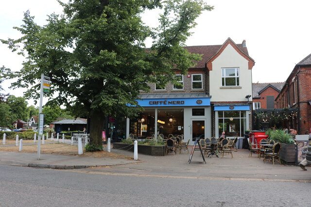
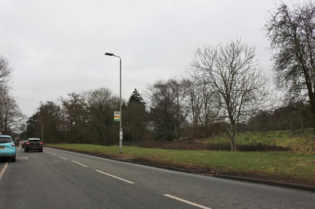
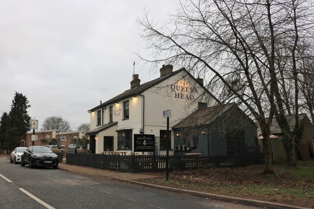
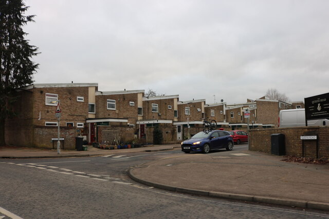
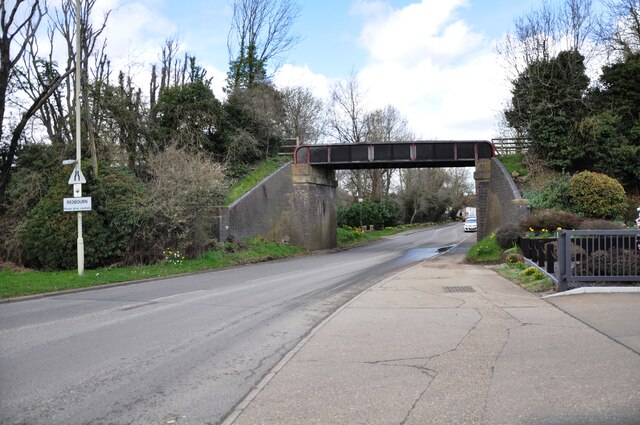
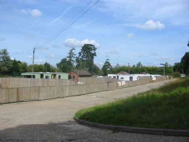
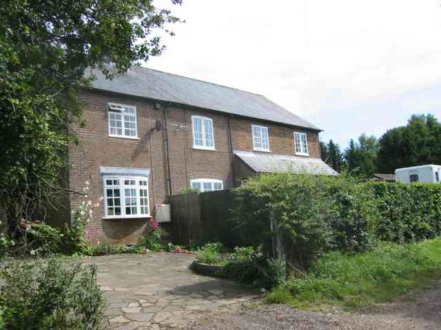
Deacon's Spring Images

Images are sourced within 2km of 51.802531/-0.37536044 or Grid Reference TL1212. Thanks to Geograph Open Source API. All images are credited.

On Station Road in Harpenden Obviously a main street in this interesting town.
On Station Road in Harpenden
Obviously a main street in this interesting town.
The war memorial in Harpenden At the going down of the sun and in the morning we will remember them.
The war memorial in Harpenden
At the going down of the sun and in the morning we will remember them.
Caffe Nero on Harpenden High Street
Luton Lane looking towards Kinsbourne Green Lane
Conifers by Luton Lane, Redbourn
House on Luton Lane, Redbourn
Southdown Road by Harpenden Common
The Queens Head, Harpenden It was painted in 2021
The Queens Head, Harpenden
It was painted in 2021
Queens Road, Harpenden From Southdown Road
Queens Road, Harpenden
From Southdown Road
Bridge over Redbourn High Street The disused railway bridge crossing Redbourn High Street, once the A5.  The single line ran from Harpenden to Hemel Hempstead and was built by the Midland Railway.  Passenger services ceased in 1947, but the full length of the line was not closed and removed until 1982.  Nowadays a large part of the line is used as a cycleway and footpath, known as the 'Nickey Line'.
Bridge over Redbourn High Street
The disused railway bridge crossing Redbourn High Street, once the A5. The single line ran from Harpenden to Hemel Hempstead and was built by the Midland Railway. Passenger services ceased in 1947, but the full length of the line was not closed and removed until 1982. Nowadays a large part of the line is used as a cycleway and footpath, known as the 'Nickey Line'.
Redbourn Village This village green is huge
Redbourn Village
This village green is huge
Entrance gates to  Rothamsted and the Farm There was also a sign warning of concealed CCTV cameras.
Entrance gates to Rothamsted and the Farm
There was also a sign warning of concealed CCTV cameras.
Fly tipping sign at Rothamsted One must assume that the fly tipper couldn't read or perhaps the words should be wouldn't read
Fly tipping sign at Rothamsted
One must assume that the fly tipper couldn't read or perhaps the words should be wouldn't read
New Housing called The Park, Redbourn The design is simple without bits planted on.
New Housing called The Park, Redbourn
The design is simple without bits planted on.
A traveller's campsite at Redbourn The site is well hidden from the highway but road surfaces seems excessive.Extra  plots would have been more useful
A traveller's campsite at Redbourn
The site is well hidden from the highway but road surfaces seems excessive.Extra plots would have been more useful
A new house in Luton Lane Redbourn The design has echoes of barn conversions
A new house in Luton Lane Redbourn
The design has echoes of barn conversions
Houses at entrance to Harpenden Golf Club They were built at the turn of the 1900's but have been refurbished.
Houses at entrance to Harpenden Golf Club
They were built at the turn of the 1900's but have been refurbished.
Harpenden Rugby Football Club This is near to Hatching Green on the B487
Harpenden Rugby Football Club
This is near to Hatching Green on the B487
Show me another place!

Deacon's Spring is located at Grid Ref: TL1212 (Lat: 51.802531, Lng: -0.37536044)

Administrative County: Hertfordshire

District: St. Albans

Police Authority: Hertfordshire

What 3 Words

///fell.wake.weedy. Near Redbourn, Hertfordshire

Related Wikis

Harpenden RFC

Harpenden Rugby Football Club is a rugby club based in Harpenden. They play in Regional 1 South East - a league at tier 5 of the English rugby union system...

Rothamsted Manor

Rothamsted Manor is a former manor and current manor house, situated in Harpenden Rural in the English county of Hertfordshire. A Grade I listed building...

Ahm House

The Ahm House at 44 West Common Way is a house in Harpenden in Hertfordshire, England. It was built between 1961 and 1963 by the structural engineer Povl...

Redbourn railway station

Redbourn railway station served the village of Redbourn, Hertfordshire, England from 1887 to 1964 on the Nickey Line. == History == The station opened...

Related Videos

Walking after dinner, garden in Harpenden

晚餐後往後花園散步#hertfordshire #uk Garden in Harpenden After dinner.

Bodhi BlahCast: impromptu walking & musing

A Bodhi Blah Cast = random blah / chat/ musings whilst walking I haven't had time to record a Bodcast this month so this is as ...

Cleaning Hedgehog Houses & Feeding Stations for Hedgehog Food - Hornbeam Wood Hedgehog Sanctuary

In this vlog I will be going through a good task to complete in Autumn time which is cleaning out your garden hedgehog houses ...

SETTING UP TEE BOXES & MEET THE MEMBER

Check out our latest video This week we discuss Course condition Chasing a Sheep Course set up Meet the member Sams Outro ...

Nearby Amenities

Located within 500m of 51.802531,-0.37536044
Bus Stop
Redbourn Lodge
Bench: no
Bin: no
Bus: yes
Lit: no
Naptan AtcoCode: 210021500840
Naptan Bearing: W
Naptan CommonName: Redbourn Lodge
Naptan Crossing: Deacon's Spring
Naptan Indicator: opp
Naptan Landmark: Deacon's Spring
Naptan NaptanCode: hrtdajgt
Naptan PlusbusZoneRef: HRPNDN
Naptan ShortCommonName: NA
Naptan Street: Redbourn Lane
Naptan Verified: no
Public Transport: platform
Shelter: yes
Source: naptan_import
Tactile Paving: no
Lat/Long: 51.8027932/-0.3769914
Bus Stop
Redbourn Lodge
Bench: no
Bin: no
Bus: yes
Lit: no
Local Ref: NR
Naptan AtcoCode: 210021510920
Naptan Bearing: E
Naptan CommonName: Redbourn Lodge
Naptan Crossing: opp Deacon's Spring
Naptan Indicator: nr
Naptan Landmark: opp Deacon's Spring
Naptan NaptanCode: hrtatjmd
Naptan PlusbusZoneRef: HRPNDN
Naptan ShortCommonName: NA
Naptan Street: Redbourn Lane
Naptan Verified: no
Public Transport: platform
Shelter: no
Source: naptan_import
Tactile Paving: no
Lat/Long: 51.8030037/-0.3766067
Barrier: swing_gate
Lat/Long: 51.8024546/-0.3725553
Barrier: kissing_gate
Bicycle: no
Foot: permissive
Horse: no
Motor Vehicle: no
Lat/Long: 51.8063538/-0.3754502
The data included in this document is from www.openstreetmap.org. The data is made available under ODbL.

Have you been to Deacon's Spring?

Leave your review of Deacon's Spring below (or comments, questions and feedback).