Haverholme Park Lake
Lake, Pool, Pond, Freshwater Marsh in Lincolnshire North Kesteven
England
Haverholme Park Lake
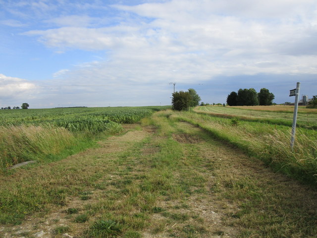
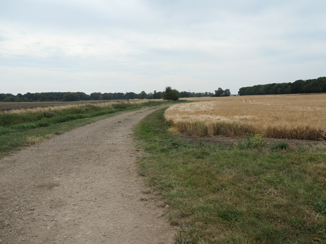
Haverholme Park Lake is a picturesque freshwater lake located in the county of Lincolnshire, England. Covering an area of approximately 12 hectares, it is nestled within Haverholme Park, an expansive estate renowned for its natural beauty and rich biodiversity. The lake is a popular destination for nature enthusiasts, anglers, and those seeking a tranquil getaway.
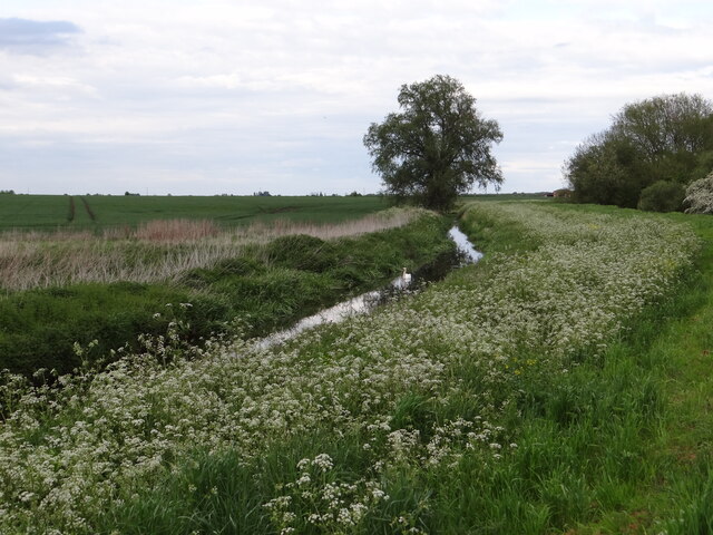
The lake itself boasts crystal-clear waters, surrounded by lush vegetation and a diverse array of wildlife. It is home to a variety of fish species, including carp, perch, roach, and pike, making it a haven for anglers of all skill levels. The lake is well-stocked, ensuring a rewarding fishing experience for visitors.
Haverholme Park Lake is not only a haven for fishing but also a paradise for birdwatchers. The surrounding freshwater marshes attract a wide range of bird species, such as herons, ducks, swans, and kingfishers. The lake provides a vital habitat for these birds, offering nesting sites, feeding grounds, and a peaceful retreat during migration seasons.
Visitors to Haverholme Park Lake can enjoy a variety of activities, including fishing, birdwatching, and leisurely walks along the designated trails. The park's well-maintained facilities, including picnic areas and benches, provide ample opportunities for relaxation and enjoyment of the serene surroundings.
Overall, Haverholme Park Lake is a hidden gem in Lincolnshire, offering a peaceful retreat for those seeking to connect with nature. Its abundant wildlife, scenic views, and recreational activities make it a must-visit destination for both locals and tourists alike.
If you have any feedback on the listing, please let us know in the comments section below.
Haverholme Park Lake Images
Images are sourced within 2km of 53.019495/-0.33943764 or Grid Reference TF1148. Thanks to Geograph Open Source API. All images are credited.


![Bridge carrying Park Lane over the River Slea [Sleaford Navigation] Built in 1893, after this section of the river navigation had closed, and Grade 2 listed.](https://s3.geograph.org.uk/geophotos/06/58/09/6580931_05e50d25.jpg)

![River Slea [Sleaford Navigation] above Haverholme Lock The iron fittings for the top gates of the lock are in the foreground. The Sleaford Navigation is a canalised section of the River Slea. It opened in May 1794. There were seven locks, each 60 ft long and 15 ft wide [18.3 x 4.6m]. Coal came into Sleaford from all over the East Midlands, and grain went out, mainly to Nottinghamshire. Boats stopped using this section in 1881, but the Sleaford Navigation Trust is now seeking to restore the navigation.](https://s1.geograph.org.uk/geophotos/06/58/09/6580937_cd338dcc.jpg)
![Haverholme Lock, Sleaford Navigation The Sleaford Navigation is a canalised section of the River Slea. It opened in May 1794. There were seven locks, each 60 ft long and 15 ft wide [18.3 x 4.6m]. Coal came into Sleaford from all over the East Midlands, and grain went out, mainly to Nottinghamshire. Boats stopped using this section in 1881, but the Sleaford Navigation Trust is now seeking to restore the navigation.](https://s0.geograph.org.uk/geophotos/06/58/09/6580996_1c3001df.jpg)
![Bywash, Haveholme Lock, Sleaford Navigation Restored by the Waterway Recovery Group between 2001 and 2003. The bywash allows excess water to flow round the lock rather than through it. The Sleaford Navigation is a canalised section of the River Slea. It opened in May 1794. There were seven locks, each 60 ft long and 15 ft wide [18.3 x 4.6m]. Coal came into Sleaford from all over the East Midlands, and grain went out, mainly to Nottinghamshire. Boats stopped using this section in 1881, but the Sleaford Navigation Trust is now seeking to restore the navigation.](https://s2.geograph.org.uk/geophotos/06/58/09/6580998_70c42d2a.jpg)
![Park Lane crossing the River Slea [Sleaford Navigation] The bridge was built in 1893 and is Grade 2 listed. there is an 8 metre spot height in the middle of the bridge.](https://s3.geograph.org.uk/geophotos/06/58/09/6580999_5fe1ca06.jpg)
Haverholme Park Lake is located at Grid Ref: TF1148 (Lat: 53.019495, Lng: -0.33943764)
Administrative County: Lincolnshire
District: North Kesteven
Police Authority: Lincolnshire
What 3 Words
///verve.lamp.civil. Near Ruskington, Lincolnshire
Nearby Locations
Related Wikis
Ewerby and Evedon
Ewerby and Evedon is a civil parish in North Kesteven, Lincolnshire, England. It includes the villages of Ewerby and Evedon, the hamlet of Haverholme,...
Ewerby
Ewerby is a village in the civil parish of Ewerby and Evedon, in the North Kesteven district of Lincolnshire, England. It lies 3 miles (4.8 km) north-east...

Sleaford Rural District
Sleaford was a rural district in Lincolnshire, Parts of Kesteven, England, from 1894 to 1931. It was created by the Local Government Act 1894 based on...

Haverholme
Haverholme is a hamlet and site of Haverholme Priory in the North Kesteven district of Lincolnshire, England. It is situated about 4 miles (6 km) north...
Have you been to Haverholme Park Lake?
Leave your review of Haverholme Park Lake below (or comments, questions and feedback).