Riverside Pond

Lake, Pool, Pond, Freshwater Marsh in Bedfordshire

England

Riverside Pond

Parking, and coffee shop at Priory Country Park
Parking, and coffee shop at Priory Country Park Credit: Rob Purvis

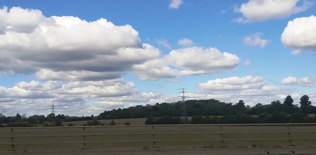
Riverside Pond, located in Bedfordshire, England, is a picturesque freshwater body that serves as a popular recreational spot for both locals and tourists. Spanning approximately four acres, this natural water feature is nestled amidst lush greenery, creating a serene and tranquil environment. The pond is situated adjacent to a river, adding to its charm and enhancing its natural beauty.

The water in Riverside Pond is crystal clear and teeming with various species of freshwater fish, making it a haven for fishing enthusiasts. The pond is home to a diverse range of aquatic life, including ducks, swans, and other waterfowl that can be observed gliding gracefully across the water's surface. The surrounding vegetation, such as reeds and water lilies, further adds to the scenic appeal of the area.

Visitors to Riverside Pond can enjoy a range of recreational activities. Fishing is a popular pastime, with anglers often spending hours patiently waiting for a bite. The pond is well-stocked, offering the opportunity to catch a variety of fish species, including carp, perch, and roach. Additionally, the calm waters of the pond make it ideal for kayaking, canoeing, and boating, providing a delightful experience for water sports enthusiasts.

The pond is surrounded by well-maintained pathways, allowing visitors to take leisurely strolls and enjoy the breathtaking views. Riverside Pond also offers picnic areas, providing an ideal spot for families and friends to relax and enjoy a meal amidst nature. The peaceful ambiance and scenic surroundings make it a favored location for photographers, artists, and nature lovers.

Overall, Riverside Pond in Bedfordshire offers a serene and picturesque setting, attracting visitors with its abundant wildlife, recreational activities, and natural beauty.

If you have any feedback on the listing, please let us know in the comments section below.

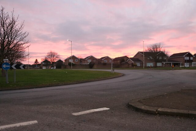
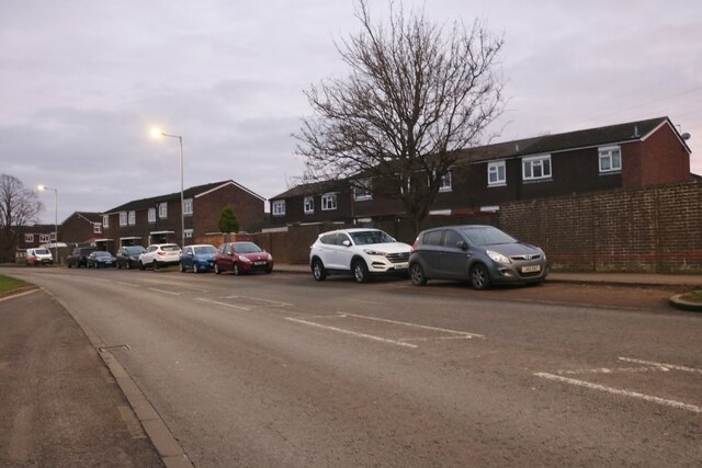
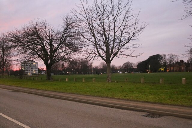
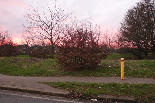
Riverside Pond Images

Images are sourced within 2km of 52.140538/-0.42133813 or Grid Reference TL0850. Thanks to Geograph Open Source API. All images are credited.

Parking, and coffee shop at Priory Country Park
Path and old wall, Priory Country Park
Walking next to the lake at Priory Country Park
Otter sculpture and beach at Priory Country Park
Roundabout on Hookhams Lane, Bedford This is the first main road entering Bedford from this direction.
Roundabout on Hookhams Lane, Bedford
This is the first main road entering Bedford from this direction.
Norse Road, Bedford
Norse Road, Bedford
Go Outdoors on Norse Road, Bedford
Norse Road, Bedford
Norse Road, Bedford
Barons bodyshop on St Neots Road, Goldington
Goldington Green
Goldington Green
Flats on Goldington Green
Goldington Road at the junction of Polhill Avenue The University of Bedfordshire is on the right
Goldington Road at the junction of Polhill Avenue
The University of Bedfordshire is on the right
Park by Hookhams Lane, Salph End Entering the urban area of Bedford
Park by Hookhams Lane, Salph End
Entering the urban area of Bedford
Fields off the Bedford Bypass
Archaeological dig east of Bedford The alluvium of the Gt Ouse floodplain has been stripped to reveal river terrace sands and gravels; small trial pits and trenches have been excavated for selected study.
Archaeological dig east of Bedford
The alluvium of the Gt Ouse floodplain has been stripped to reveal river terrace sands and gravels; small trial pits and trenches have been excavated for selected study.
Gravel pit SE of Bedford in the terraces of the Gt Ouse on the site of the Castle Mill airfield.
Gravel pit SE of Bedford in the terraces of the Gt Ouse
on the site of the Castle Mill airfield.
Soil profile in river alluvium, Gt Ouse floodplain SE of Bedford The soil type is Fladbury series, pelo-alluvial gley soils. The dark brown topsoil overlies non-calcareous clay to 43 cm depth; grey mottled clay extends to 80 cm depth; pale colours in the calcareous clay down to 120 cm are caused by concretions of secondary calcium carbonate and coarse rusty mottles are prominent.  The clays have strongly developed prismatic structure with clear vertical cracking in the upper subsoil, becoming angular blocky in the lower subsoil. The oldest dark grey alluvial deposit near the base is rich in organic matter.  The whole alluvial sequence overlies Devensian sands and gravels.
Soil profile in river alluvium, Gt Ouse floodplain SE of Bedford
The soil type is Fladbury series, pelo-alluvial gley soils. The dark brown topsoil overlies non-calcareous clay to 43 cm depth; grey mottled clay extends to 80 cm depth; pale colours in the calcareous clay down to 120 cm are caused by concretions of secondary calcium carbonate and coarse rusty mottles are prominent. The clays have strongly developed prismatic structure with clear vertical cracking in the upper subsoil, becoming angular blocky in the lower subsoil. The oldest dark grey alluvial deposit near the base is rich in organic matter. The whole alluvial sequence overlies Devensian sands and gravels.
Willington Quarry Entrance to Willington Quarry, from near where their driveway crosses the main bedford-sandy cycle path
Willington Quarry
Entrance to Willington Quarry, from near where their driveway crosses the main bedford-sandy cycle path
Show me another place!

Riverside Pond is located at Grid Ref: TL0850 (Lat: 52.140538, Lng: -0.42133813)

Unitary Authority: Bedford

Police Authority: Bedfordshire

What 3 Words

///years.book.busy. Near Cardington, Bedfordshire

Related Wikis

Goldington Power Station

Goldington Power Station was a 180 MW coal-fired electricity generating station located to the east of Bedford in Bedfordshire, England. It was commissioned...

Newnham, Bedford

Newnham is an electoral ward and area within the town of Bedford, Bedfordshire, England. The boundaries of Newnham are approximately Goldington Road to...

Goldington Bury

Goldington Bury is a cricket ground in the Goldington area of Bedford, in England. The first recorded match on the ground was in 1941, when Bedford Town...

Goldington

Goldington is part of Bedford, Bedfordshire, England. It encompasses much of the historic village and parish of Goldington that was merged with Bedford...

Risinghoe Castle

Risinghoe Castle, sometimes known as Goldington Castle, is a 20-foot mound, located in the former village of Goldington, a parish in the hundred of Barford...

Priory Country Park

Priory Country Park is a country park located in the Newnham area of Bedford, England alongside the River Great Ouse. The park is managed by Bedford Borough...

University of Bedfordshire Theatre

The University of Bedfordshire Theatre is a theatre situated on the Polhill Campus of the University of Bedfordshire, Bedford, Bedfordshire, England....

Biggleswade F.C.

Biggleswade Football Club is a football club based in Biggleswade, Bedfordshire, England. The club are currently members of the Southern League Division...

Nearby Amenities

Located within 500m of 52.140538,-0.42133813
Crossing
Button Operated: yes
Crossing: traffic_signals
Crossing Island: no
Lat/Long: 52.1439202/-0.4251942
Mini Roundabout
Direction: clockwise
Lat/Long: 52.1437132/-0.420697
Post Box
Brand: Royal Mail
Brand Wikidata: Q638098
Collection Times: Mo-Fr 17:45; Sa 11:45
Operator: Royal Mail
Operator Wikidata: Q638098
Post Box Type: lamp
Ref: MK41 12
Royal Cypher: EIIR
Royal Cypher Wikidata: Q33102113
Source: survey
Survey Date: 2015-08-29
Lat/Long: 52.1374458/-0.4259413
Bus Stop
Bus: yes
Public Transport: platform
Lat/Long: 52.1399435/-0.4243328
Restaurant
Toby Carvery
Addr City: Bedford
Addr Country: GB
Addr Housenumber: 403
Addr Postcode: MK41 0DS
Addr Street: Goldington Road
Brand: Toby Carvery
Brand Wikidata: Q7811777
Contact Website: https://www.tobycarvery.co.uk/restaurants/east-of-england/goldingtonbedford
Cuisine: british
Fhrs Authority: Bedford
Fhrs Id: 92396
Fhrs Local Authority Id: 26002
Lat/Long: 52.1431164/-0.4267529
Crossing
Crossing Ref: zebra
Source: bing
Lat/Long: 52.1426257/-0.4234152
Crossing
Crossing Ref: zebra
Source: bing
Lat/Long: 52.1433598/-0.4235665
Crossing
Crossing Ref: zebra
Lat/Long: 52.1395876/-0.4245366
Recycling
Recycling Clothes: yes
Recycling Glass: yes
Lat/Long: 52.1428015/-0.4255315
Noexit: yes
Lat/Long: 52.1396402/-0.4250739
Noexit: yes
Lat/Long: 52.1401612/-0.4263454
Noexit: yes
Lat/Long: 52.1399556/-0.4262997
Power: tower
Source: bing
Lat/Long: 52.1370397/-0.423869
Power: tower
Source: bing
Lat/Long: 52.1380257/-0.424067
Bicycle Parking
Bicycle Parking: stands
Capacity: 30
Cyclestreets Id: 30694
Lat/Long: 52.1423725/-0.4246442
Bicycle Parking
Bicycle Parking: stands
Capacity: 12
Covered: yes
Cyclestreets Id: 30695
Lat/Long: 52.1446973/-0.4231611
Bicycle Parking
Bicycle Parking: stands
Capacity: 6
Covered: no
Cyclestreets Id: 30698
Lat/Long: 52.1427557/-0.4224107
Atm
Lat/Long: 52.1424064/-0.4246253
Travelodge
Addr City: Bedford
Addr Country: GB
Addr Housenumber: 403
Addr Postcode: MK41 0DS
Addr Street: Goldington Road
Brand: Travelodge
Brand Wikidata: Q9361374
Brand Wikipedia: en:Travelodge UK
Fhrs Authority: Bedford
Fhrs Id: 50321
Fhrs Local Authority Id: 112001
Internet Access: wlan
Internet Access Fee: customers
Internet Access Ssid: Travelodge WiFi
Tourism: hotel
Website: https://www.travelodge.co.uk/hotels/443/Bedford-Goldington-Road-hotel
Wheelchair: yes
Lat/Long: 52.1428048/-0.4268277
Source: bing
Lat/Long: 52.1428852/-0.4232276
Atm
Lat/Long: 52.1413946/-0.4240784
Elliot Reeve
Shop: hairdresser
Lat/Long: 52.1426455/-0.4250277
Post Box
Ref: MK41 66
Source: Bing
Lat/Long: 52.1424676/-0.4249767
Entrance: yes
Lat/Long: 52.1430087/-0.4267838
Entrance: yes
Lat/Long: 52.1431587/-0.4268661
Entrance: main
Lat/Long: 52.1427437/-0.4274136
Crossing
Crossing: marked
Kerb: flush
Tactile Paving: yes
Lat/Long: 52.1426469/-0.4231811
Crossing
Crossing: marked
Kerb: lowered
Tactile Paving: yes
Lat/Long: 52.1427201/-0.4230929
Bus Stop
The Wayfarer Hotel
Bus: yes
Naptan AtcoCode: 020035262
Naptan Bearing: SW
Naptan CommonName: The Wayfarer Hotel
Naptan Indicator: opp
Naptan Landmark: Goldington Green
Naptan NaptanCode: bfsampgd
Naptan PlusbusZoneRef: BEDFDM
Naptan Street: Goldington Road
Note: Stop name is a bit suspect, there hasn't been a hotel by that name here for many years
Public Transport: platform
Shelter: no
Source: naptan_import;survey;Bing
Lat/Long: 52.1434489/-0.4268174
Bus Stop
The Wayfarer Hotel
Bus: yes
Naptan AtcoCode: 020035261
Naptan Bearing: SW
Naptan CommonName: The Wayfarer Hotel
Naptan Indicator: o/s
Naptan Landmark: Goldington Green
Naptan NaptanCode: bfsampga
Naptan PlusbusZoneRef: BEDFDM
Naptan Street: Goldington Road
Note: Stop name is a bit suspect, there hasn't been a hotel by that name here for many years
Public Transport: platform
Shelter: yes
Source: naptan_import;survey;Bing
Lat/Long: 52.1432866/-0.4269945
Bus Stop
Goldington Tesco
Bus: yes
Naptan AtcoCode: 020035271
Naptan Bearing: N
Naptan CommonName: Goldington Tesco
Naptan Indicator: o/s
Naptan Landmark: Tesco
Naptan NaptanCode: bfsampjm
Naptan PlusbusZoneRef: BEDFDM
Naptan Street: Riverfield Drive
Public Transport: platform
Shelter: yes
Source: naptan_import;survey;Bing
Lat/Long: 52.1429224/-0.4233208
Bus Stop
Goldington Tesco
Bench: yes
Bin: yes
Bus: yes
Check Date Shelter: 2022-04-09
Naptan AtcoCode: 020035270
Naptan Bearing: SW
Naptan CommonName: Goldington Tesco
Naptan Indicator: opp
Naptan Landmark: Tesco
Naptan NaptanCode: bfsampjg
Naptan PlusbusZoneRef: BEDFDM
Naptan Street: Riverfield Drive
Public Transport: platform
Shelter: yes
Source: naptan_import;survey;Bing
Tactile Paving: yes
Lat/Long: 52.1423332/-0.4229924
Atm
Lat/Long: 52.1440851/-0.4206538
Johnsons
Brand: Johnsons
Brand Wikidata: Q6268527
Brand Wikipedia: en:Johnsons Cleaners UK
Shop: dry_cleaning
Source: Bing
Lat/Long: 52.142719/-0.4249431
Entrance: main
Lat/Long: 52.1426181/-0.4246974
Timpson
Brand: Timpson
Brand Wikidata: Q7807658
Craft: key_cutter
Source: Bing
Lat/Long: 52.1426758/-0.4249862
Ford: yes
Lat/Long: 52.1393002/-0.423184
Bench
Backrest: yes
Lat/Long: 52.1395664/-0.4217761
Crossing
Crossing: unmarked
Crossing Island: yes
Lat/Long: 52.1448233/-0.4210686
Crossing
Crossing: unmarked
Crossing Island: yes
Lat/Long: 52.1384628/-0.4258597
Crossing
Crossing: unmarked
Crossing Island: yes
Lat/Long: 52.1383236/-0.4253283
Crossing
Crossing: unmarked
Crossing Island: yes
Lat/Long: 52.1382261/-0.4256823
Crossing
Crossing: unmarked
Crossing Island: yes
Lat/Long: 52.1385657/-0.4254478
Crossing
Crossing: unmarked
Crossing Island: yes
Tactile Paving: no
Lat/Long: 52.1441369/-0.4237867
The data included in this document is from www.openstreetmap.org. The data is made available under ODbL.

Have you been to Riverside Pond?

Leave your review of Riverside Pond below (or comments, questions and feedback).