Silver Mere

Lake, Pool, Pond, Freshwater Marsh in Surrey Elmbridge

England

Silver Mere

Sliproad on Portsmouth Road, Cobham
Sliproad on Portsmouth Road, Cobham Credit: David Howard

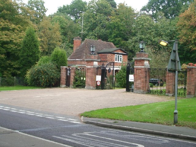
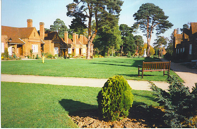
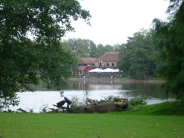
Silver Mere is a picturesque freshwater lake located in Surrey, England. Nestled amidst the serene countryside, it covers an area of approximately 15 acres and is considered a hidden gem for nature enthusiasts and leisure seekers alike.

The lake, also known as Silvermere Lake, is characterized by its crystal-clear waters and stunning natural surroundings. Surrounded by lush greenery, it offers a tranquil and idyllic setting for visitors to relax and unwind. The calm and peaceful atmosphere makes it an ideal spot for fishing, birdwatching, and picnicking.

The lake itself is home to a variety of fish species, including carp, roach, perch, and tench, making it a popular spot for angling enthusiasts. Fishing permits are available on site, allowing visitors to enjoy a day of fishing in a serene environment.

Adjacent to the lake is a beautiful freshwater marsh, which adds to the biodiversity of the area. The marshland is teeming with various species of flora and fauna, providing a haven for wildlife. Birdwatchers can spot a range of bird species, including herons, kingfishers, and swans, making the area a paradise for bird enthusiasts.

Silver Mere is easily accessible, with ample parking facilities and well-maintained footpaths leading to the lake. It is a popular destination for families, couples, and individuals seeking a peaceful retreat away from the hustle and bustle of city life.

In conclusion, Silver Mere in Surrey offers a tranquil and scenic escape for nature lovers. With its pristine lake, freshwater marsh, and abundant wildlife, it provides a haven for relaxation, fishing, and birdwatching, making it a must-visit destination for those seeking a connection with nature.

If you have any feedback on the listing, please let us know in the comments section below.

Silver Mere Images

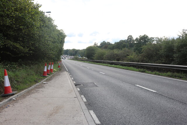
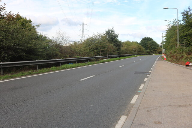
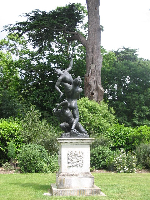
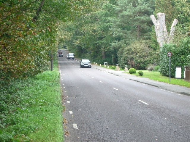
Images are sourced within 2km of 51.336974/-0.44928245 or Grid Reference TQ0860. Thanks to Geograph Open Source API. All images are credited.

Sliproad on Portsmouth Road, Cobham
Autumn at The Heights Seasonal colours on The Heights business park at Brooklands.
Autumn at The Heights
Seasonal colours on The Heights business park at Brooklands.
Byfleet Manor Byfleet Manor was originally a royal hunting lodge which was given by Edward II to Piers Gaveston, his reputed lover. It was rebuilt in 1619 by Anne of Denmark, wife of King James I at the house's last royal owner, but she died before it was finished. The massive front walls and gate piers date from that time. It was then rebuilt again in 1685 because it was reported to be in ruinous condition! This resulted in a much smaller building. It was restored in 1905 when it was again enlarged by adding asymmetrical wings.
Byfleet Manor
Byfleet Manor was originally a royal hunting lodge which was given by Edward II to Piers Gaveston, his reputed lover. It was rebuilt in 1619 by Anne of Denmark, wife of King James I at the house's last royal owner, but she died before it was finished. The massive front walls and gate piers date from that time. It was then rebuilt again in 1685 because it was reported to be in ruinous condition! This resulted in a much smaller building. It was restored in 1905 when it was again enlarged by adding asymmetrical wings.
Statue in Painshill Park, Cobham Painshill Park is a fascinating place to visit, full of follies and its very own grotto.
Statue in Painshill Park, Cobham
Painshill Park is a fascinating place to visit, full of follies and its very own grotto.
Bus stop in Brooklands Road looking north
Bus stop in Brooklands Road
looking north
Houses in Brooklands Road looking north-west
Houses in Brooklands Road
looking north-west
Bus stop in High Road looking north
Bus stop in High Road
looking north
Church Road, Byfleet looking south
Church Road, Byfleet
looking south
Byfleet Road looking west
Byfleet Road
looking west
Silvermere looking east
Silvermere
looking east
Seven Hills Road Looking north.
Seven Hills Road
Looking north.
Entrance to Whiteley Village from Seven Hills Road Looking north-east.
Entrance to Whiteley Village from Seven Hills Road
Looking north-east.
Gothic Temple, Painshill Park One of many interesting features in this huge park created by Charles Hamilton in the 18th century, the Gothic Temple is in fact made of wood and rendered to look like stone. It sits on a hill overlooking a serpentine lake.
Gothic Temple, Painshill Park
One of many interesting features in this huge park created by Charles Hamilton in the 18th century, the Gothic Temple is in fact made of wood and rendered to look like stone. It sits on a hill overlooking a serpentine lake.
Cobham Bus Museum The museum was actually nearer Byfleet than Cobham and housed a range of old London Transport buses in a recreated bus garage environment.
[The museum has since been rehoused nearby at Brookwood].
Cobham Bus Museum
The museum was actually nearer Byfleet than Cobham and housed a range of old London Transport buses in a recreated bus garage environment. [The museum has since been rehoused nearby at Brookwood].
Whiteley Village. An octagonally-shaped, planned, village just off the Seven Hills Road.
Whiteley Village.
An octagonally-shaped, planned, village just off the Seven Hills Road.
Pain's Hill The lake from the Gothic Temple
Pain's Hill
The lake from the Gothic Temple
Byfleet: Church of St Mary the Virgin Dating back to the 13th century but much rebuilt, particularly in Victorian times, the church is built of flint and puddingstone rubble and has a wood shingled belfry under its broach spire. The Church's website is here <span class="nowrap"><a title="http://www.stmarysbyfleet.org.uk/index.htm" rel="nofollow ugc noopener" href="http://www.stmarysbyfleet.org.uk/index.htm">Link</a><img style="margin-left:2px;" alt="External link" title="External link - shift click to open in new window" src="https://s1.geograph.org.uk/img/external.png" width="10" height="10"/></span>
Byfleet: Church of St Mary the Virgin
Dating back to the 13th century but much rebuilt, particularly in Victorian times, the church is built of flint and puddingstone rubble and has a wood shingled belfry under its broach spire. The Church's website is here LinkExternal link
Show me another place!

Silver Mere is located at Grid Ref: TQ0860 (Lat: 51.336974, Lng: -0.44928245)

Administrative County: Surrey

District: Elmbridge

Police Authority: Surrey

What 3 Words

///onion.dash.fully. Near Cobham, Surrey

Nearby Locations

Belt Wood Silver Mere

Related Wikis

Silvermere

Silvermere is an estate in Surrey, England named after its mere – a shallow lake of about ten acres which has a silvery appearance when seen from the surrounding...
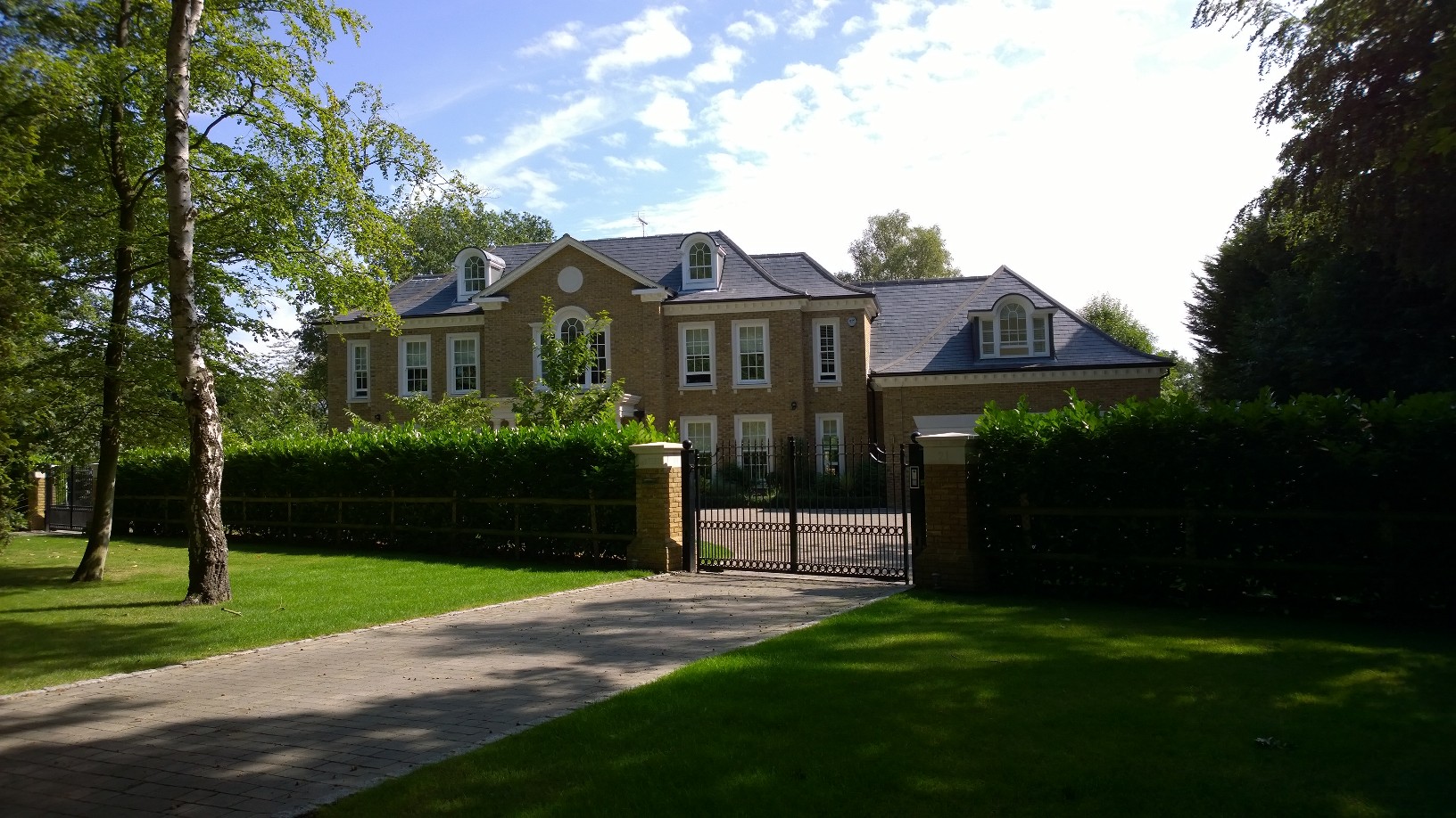
Hamstone House

Hamstone House is a large detached house on the St George's Hill estate in the English county of Surrey. The house stands in 8 acres of grounds that are...

Foxwarren Park

Foxwarren Park, at Wisley in Surrey, is a Victorian country house and estate. On sandstone Ockham and Wisley Commons, it was designed in 1860 by the railway...
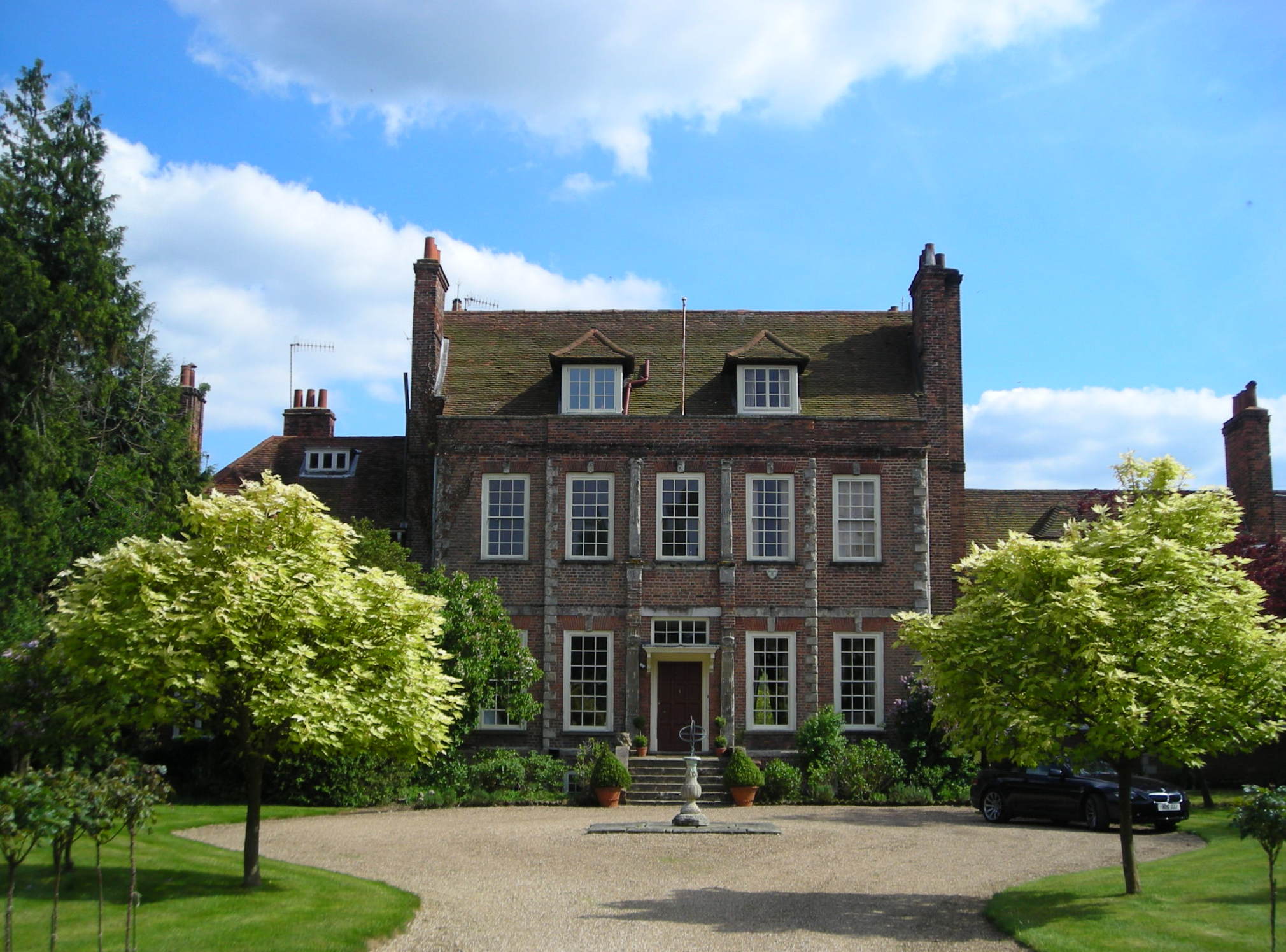
Byfleet Manor

Byfleet Manor is a Grade II* listed house in Byfleet, Surrey, England. Byfleet Manor has been used as a filming location in three television series, most...

Feltonfleet School

Feltonfleet School is a preparatory school for boys and girls from 3 to 13 years old, based in Cobham, Surrey in a Grade II listed building. The school...

Byfleet

Byfleet is a village in Surrey, England. It is located in the far east of the borough of Woking, around 1.5 miles (2.4 km) east of West Byfleet, from which...
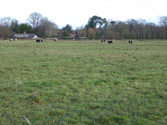
Manor Farm, Surrey

Manor Farm is a 25-hectare (62-acre) nature reserve in Byfleet, Surrey. It is owned and managed by the Surrey Wildlife Trust.In the seventeenth century...
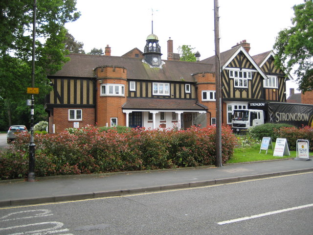
Burwood Park

Burwood Park is a historic private estate located in Hersham, Surrey, England. Spanning six miles of road, Burwood Park is situated in a former deer park...

Nearby Amenities

Located within 500m of 51.336974,-0.44928245
Power: tower
Lat/Long: 51.3351911/-0.455773
Power: tower
Lat/Long: 51.3340758/-0.4529148
Bus Stop
Silvermere
Naptan AtcoCode: 40004405013A
Naptan Bearing: NW
Naptan CommonName: Silvermere
Naptan Indicator: O/s
Naptan Landmark: Silvermere
Naptan NaptanCode: suradtjt
Naptan Street: Byfleet Road
Naptan Verified: no
Public Transport: platform
Source: naptan_import
Lat/Long: 51.3377809/-0.4462461
Bus Stop
Silvermere
Naptan AtcoCode: 40004405013B
Naptan Bearing: SE
Naptan CommonName: Silvermere
Naptan Indicator: Opp
Naptan Landmark: Silvermere
Naptan NaptanCode: suradtjw
Naptan Street: Byfleet Road
Naptan Verified: no
Public Transport: platform
Source: naptan_import
Lat/Long: 51.3377577/-0.4458592
Bus Stop
Redhill Road
Naptan AtcoCode: 40004405014A
Naptan Bearing: W
Naptan CommonName: Redhill Road
Naptan Indicator: Just Before
Naptan Landmark: Redhill Road
Naptan NaptanCode: suradtma
Naptan Street: Byfleet Road
Naptan Verified: no
Public Transport: platform
Source: naptan_import
Lat/Long: 51.338731/-0.4507651
Bus Stop
Redhill Road
Naptan AtcoCode: 40004405014B
Naptan Bearing: E
Naptan BusStopType: CUS
Naptan CommonName: Redhill Road
Naptan Indicator: Just after
Naptan Landmark: Redhill Road
Naptan NaptanCode: surgpapg
Naptan Street: Byfleet Road
Naptan Verified: no
Public Transport: platform
Source: naptan_import
Lat/Long: 51.3389346/-0.4512034
Access: private
Barrier: lift_gate
Lat/Long: 51.3389235/-0.4508036
Golf: pin
Lat/Long: 51.3352637/-0.450579
Social Facility
Silvermere Care Home
Addr City: Cobham
Addr Housename: Silvermere Care Home
Addr Postcode: KT11 1EF
Addr Street: Redhill Road
Description: Residential and dementia care home
Email: enquiries.silvermere@averyhealthcare.co.uk
Opening Hours: 24/7
Operator: Avery Healthcare
Social Facility: group_home
Social Facility For: senior
Wheelchair: yes
Lat/Long: 51.338309/-0.4512908
Golf: pin
Lat/Long: 51.3393406/-0.4431979
Golf: pin
Lat/Long: 51.3396148/-0.4501459
Golf: pin
Lat/Long: 51.3357634/-0.4545172
Golf: pin
Lat/Long: 51.3362119/-0.4561421
Golf: pin
Lat/Long: 51.3364493/-0.4557288
Golf: pin
Lat/Long: 51.3368687/-0.4545689
Golf: pin
Lat/Long: 51.3378558/-0.4497534
Golf: pin
Lat/Long: 51.3366325/-0.4480427
Golf: pin
Lat/Long: 51.3339606/-0.4464882
Golf: pin
Lat/Long: 51.3353461/-0.4497417
Golf: pin
Lat/Long: 51.3406602/-0.4510182
The data included in this document is from www.openstreetmap.org. The data is made available under ODbL.

Have you been to Silver Mere?

Leave your review of Silver Mere below (or comments, questions and feedback).