Vachery Pond

Lake, Pool, Pond, Freshwater Marsh in Surrey Waverley

England

Vachery Pond

Downs Link near Cranleigh The Downs Link path follows a dismantled railway line for most of its length.  It also forms part of route 223 of the National Cycle Network.
Downs Link near Cranleigh Credit: Malc McDonald

Vachery Pond, located in Surrey, England, is a stunning freshwater body that encompasses the characteristics of a lake, pool, pond, and freshwater marsh. Spanning an area of approximately 100 acres, it is situated within the Vachery Estate, a privately owned property.

The pond is fed by natural springs and rainfall, ensuring a constant supply of freshwater. Its calm and tranquil waters are home to a diverse range of flora and fauna, making it an important ecological habitat. The surrounding vegetation, including reeds, rushes, and water lilies, provide shelter and nesting sites for various bird species, such as herons, swans, ducks, and geese.

Vachery Pond offers a picturesque landscape for visitors to enjoy. Its clear waters reflect the surrounding trees and sky, creating a stunning visual display. The peaceful atmosphere and scenic views make it a popular spot for nature enthusiasts, photographers, and those seeking a serene escape from the bustling city.

The pond also serves as a recreational area, accommodating activities such as fishing and boating. Anglers can expect a variety of fish species, including carp, pike, and roach, providing an opportunity for a relaxing day by the water's edge.

Overall, Vachery Pond is a natural gem in the Surrey countryside, offering a diverse ecosystem and a tranquil setting for both wildlife and visitors alike. Its beauty and recreational opportunities make it a must-visit destination for those seeking a peaceful retreat in nature.

If you have any feedback on the listing, please let us know in the comments section below.
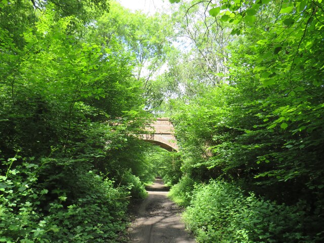
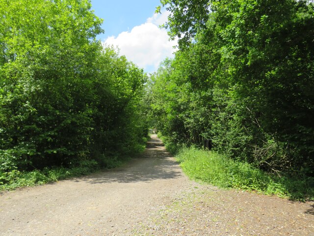
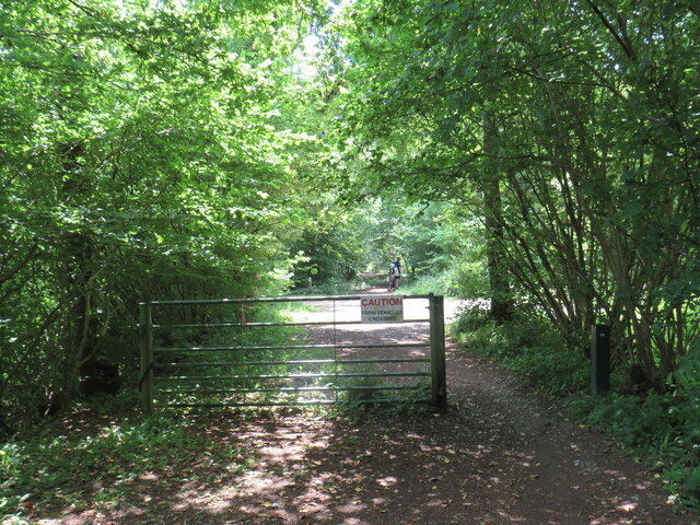
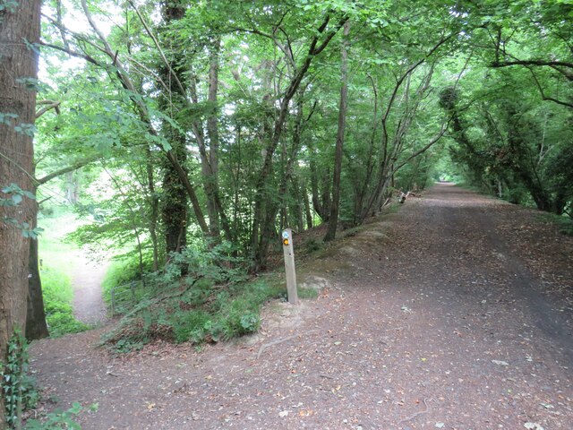
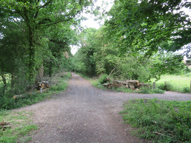
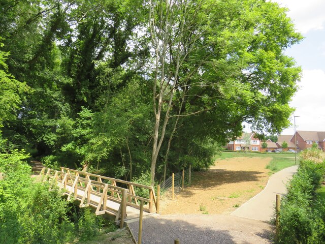
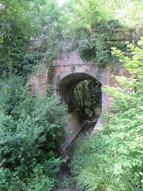
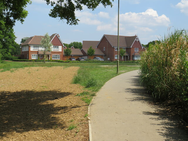
Vachery Pond Images

Images are sourced within 2km of 51.125786/-0.47135574 or Grid Reference TQ0737. Thanks to Geograph Open Source API. All images are credited.

Downs Link near Cranleigh The Downs Link path follows a dismantled railway line for most of its length.  It also forms part of route 223 of the National Cycle Network.
Downs Link near Cranleigh
The Downs Link path follows a dismantled railway line for most of its length. It also forms part of route 223 of the National Cycle Network.
Farm track near Cranleigh A track leading to a farm in the Surrey countryside near Cranleigh.
Farm track near Cranleigh
A track leading to a farm in the Surrey countryside near Cranleigh.
Downs Link near Cranleigh The Downs Link path follows a dismantled railway line for most of its length.  It also forms part of route 223 of the National Cycle Network.
Downs Link near Cranleigh
The Downs Link path follows a dismantled railway line for most of its length. It also forms part of route 223 of the National Cycle Network.
Downs Link near Cranleigh The Downs Link path follows a dismantled railway line for most of its length.  It also forms part of route 223 of the National Cycle Network.  Here, the former railway line ran along an embankment.  A footpath descends to the left.
Downs Link near Cranleigh
The Downs Link path follows a dismantled railway line for most of its length. It also forms part of route 223 of the National Cycle Network. Here, the former railway line ran along an embankment. A footpath descends to the left.
Downs Link near Cranleigh The Downs Link path follows a dismantled railway line for most of its length.  It also forms part of route 223 of the National Cycle Network.
Downs Link near Cranleigh
The Downs Link path follows a dismantled railway line for most of its length. It also forms part of route 223 of the National Cycle Network.
Path to Dapples Lane, Cranleigh A path leading into a new housing development in Cranleigh, in Surrey.  The wooden bridge to the left takes another path across a stream.
Path to Dapples Lane, Cranleigh
A path leading into a new housing development in Cranleigh, in Surrey. The wooden bridge to the left takes another path across a stream.
Bridge over a stream, Cranleigh The bridge was built to carry a railway line across a stream on the outskirts of Cranleigh.  The railway closed in 1965 and was dismantled, but the Downs Link path now follows the railway alignment, crossing the bridge.  Downs Link also forms part of route 223 of the National Cycle Network.
Bridge over a stream, Cranleigh
The bridge was built to carry a railway line across a stream on the outskirts of Cranleigh. The railway closed in 1965 and was dismantled, but the Downs Link path now follows the railway alignment, crossing the bridge. Downs Link also forms part of route 223 of the National Cycle Network.
Footpath to Dapples Lane, Cranleigh A path leading into a new housing development on the outskirts of Cranleigh, in Surrey.
Footpath to Dapples Lane, Cranleigh
A path leading into a new housing development on the outskirts of Cranleigh, in Surrey.
Recreation ground in Cranleigh A bench seat looking out across a recreation ground in Cranleigh, in Surrey.
Recreation ground in Cranleigh
A bench seat looking out across a recreation ground in Cranleigh, in Surrey.
Downs Link, Cranleigh The Downs Link path follows a dismantled railway line for most of its length.  It also forms part of route 223 of the National Cycle Network.

In this view, the path is passing through the town of Cranleigh.  The building to the right is a sports pavilion.
Downs Link, Cranleigh
The Downs Link path follows a dismantled railway line for most of its length. It also forms part of route 223 of the National Cycle Network. In this view, the path is passing through the town of Cranleigh. The building to the right is a sports pavilion.
Downs Link, Cranleigh The Downs Link path follows a dismantled railway line for most of its length.  It also forms part of route 223 of the National Cycle Network.

Here in Cranleigh a very short section of the route is also an access road to a car park.
Downs Link, Cranleigh
The Downs Link path follows a dismantled railway line for most of its length. It also forms part of route 223 of the National Cycle Network. Here in Cranleigh a very short section of the route is also an access road to a car park.
Downs Link, Cranleigh The Downs Link path follows a dismantled railway line for most of its length.  It also forms part of route 223 of the National Cycle Network.
Downs Link, Cranleigh
The Downs Link path follows a dismantled railway line for most of its length. It also forms part of route 223 of the National Cycle Network.
TWM Solicitors, Cranleigh
Yew Tree Vets, Cranleigh
Horsham Road, Cranleigh No, I am not as tall as that, quite the opposite in fact
Horsham Road, Cranleigh
No, I am not as tall as that, quite the opposite in fact
Cranleigh obelisk This was built when the road was built, and is Victorian although the age is unknown. The signs are almost the same as the pre-Worboys which replaced them, but officially is a milepost SC CRANOB, although the signs should qualify as pre-Worboys individually. There are three and I have taken each separately here. Anyone with sharp eyes will also notice the road does not go to Guildford this way but comes from it, they are not in the correct order.
Cranleigh obelisk
This was built when the road was built, and is Victorian although the age is unknown. The signs are almost the same as the pre-Worboys which replaced them, but officially is a milepost SC CRANOB, although the signs should qualify as pre-Worboys individually. There are three and I have taken each separately here. Anyone with sharp eyes will also notice the road does not go to Guildford this way but comes from it, they are not in the correct order.
Horsham Road, Cranleigh
Houses on Horsham Road, Cranleigh
Show me another place!

Vachery Pond is located at Grid Ref: TQ0737 (Lat: 51.125786, Lng: -0.47135574)

Administrative County: Surrey

District: Waverley

Police Authority: Surrey

What 3 Words

///beep.host.animals. Near Cranleigh, Surrey

Related Wikis

Longhurst Lodge

Longhurst Lodge is a Grade II listed building in Cranleigh, Surrey, England. It is located on the former Baynards Park estate, about a quarter of a mile...

Cranleigh

Cranleigh is a village and civil parish, about 8 miles (13 km) southeast of Guildford in Surrey, England. It lies on a minor road east of the A281, which...

Baynards Park

Baynards Park is a 2,000 acres (810 ha) estate and site of a demolished country house with extant outbuildings, privately owned, in the south of the parishes...

Cranleigh railway station

Cranleigh was a railway station on the Cranleigh Line between Guildford and Horsham. It served the village of Cranleigh, Surrey in southern England....

Glebelands School

Glebelands School is a county-funded and charity-supported secondary school in Cranleigh, Surrey, England. It is co-educational and takes students aged...

Baynards railway station

Baynards was a railway station on the Cranleigh Line, between Guildford, Surrey, and Horsham, West Sussex, England. The station opened with the line on...

Cranleigh School

Cranleigh School is a public school (English fee-charging boarding and day school) in the village of Cranleigh, Surrey. == History == It was opened on...

Sayer's Croft LNR

Sayer's Croft is a 10.9-hectare (27-acre) Local Nature Reserve west of Ewhurst in Surrey. It is owned by the Sayer's Croft Environmental Education Trust...

Nearby Amenities

Located within 500m of 51.125786,-0.47135574
Vachery House
Building: yes
Source: npe
Lat/Long: 51.1228048/-0.4704797
The data included in this document is from www.openstreetmap.org. The data is made available under ODbL.

Have you been to Vachery Pond?

Leave your review of Vachery Pond below (or comments, questions and feedback).