West Bank Or River Hull
Lake, Pool, Pond, Freshwater Marsh in Yorkshire
England
West Bank Or River Hull
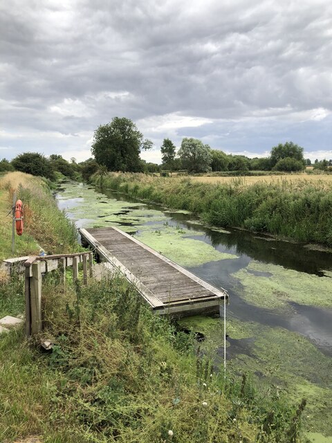
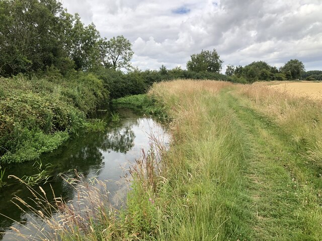
The River Hull, located in Yorkshire, England, is a freshwater river that runs approximately 75 kilometers from the eastern border of the Yorkshire Wolds to the Humber Estuary. It passes through the city of Kingston upon Hull and is often referred to as the West Bank or River Hull.
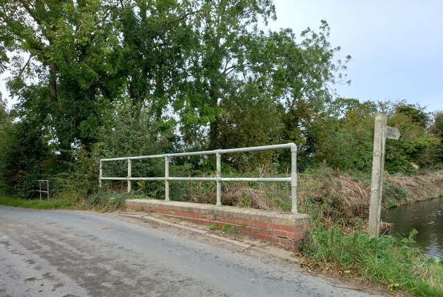
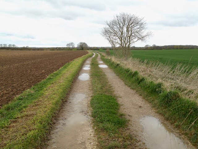
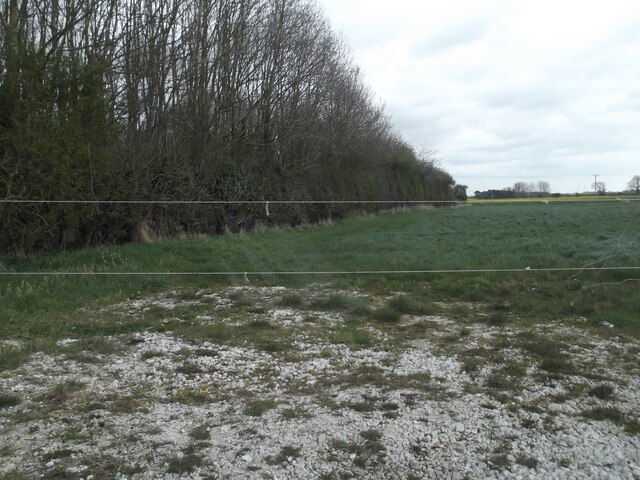
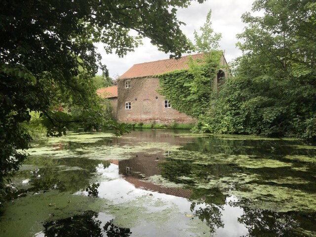
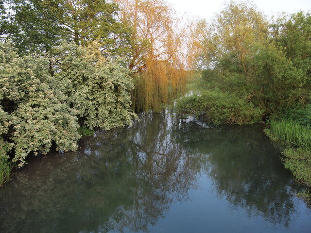
The West Bank area of the River Hull is characterized by its diverse aquatic ecosystems, including lakes, pools, ponds, and freshwater marshes. These habitats provide a rich environment for a wide range of flora and fauna to thrive.
The lakes in the West Bank area are formed by the widening of the river, creating calm waters that support various aquatic plants and animal species. These lakes are often home to waterfowl, such as ducks and geese, as well as fish species like perch and pike.
Pools and ponds can also be found along the River Hull, which are smaller bodies of water that provide important breeding grounds for amphibians and insects. These habitats contribute to the overall biodiversity of the area, supporting a variety of species, including frogs, newts, and dragonflies.
Freshwater marshes are another notable feature of the West Bank area. These marshes are characterized by wet, grassy areas that are often flooded and contain a variety of emergent vegetation. They provide important habitat for wetland birds, such as herons and kingfishers, as well as numerous insects and small mammals.
Overall, the West Bank or River Hull in Yorkshire is a diverse and ecologically important area, providing a range of habitats for various plant and animal species. The preservation and conservation of these habitats are crucial for maintaining the biodiversity and ecological balance of the region.
If you have any feedback on the listing, please let us know in the comments section below.
West Bank Or River Hull Images
Images are sourced within 2km of 53.984471/-0.37413151 or Grid Reference TA0655. Thanks to Geograph Open Source API. All images are credited.
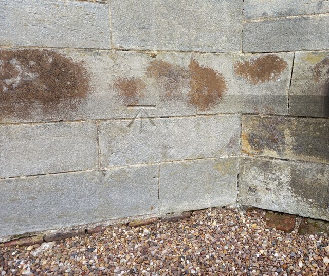
![Wansford village hall The OS flush bracket [S6525] is on the south facing wall of the village hall.](https://s1.geograph.org.uk/geophotos/07/01/76/7017613_a65100e8.jpg)
West Bank Or River Hull is located at Grid Ref: TA0655 (Lat: 53.984471, Lng: -0.37413151)
Division: East Riding
Unitary Authority: East Riding of Yorkshire
Police Authority: Humberside
What 3 Words
///backpack.reflect.tangling. Near Nafferton, East Yorkshire
Nearby Locations
Related Wikis

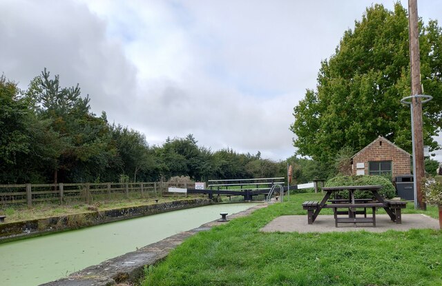
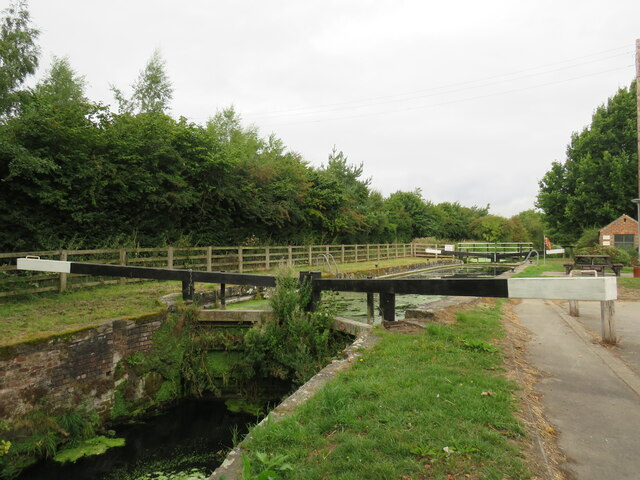
Snakeholme Lock
Snakeholme Lock is a brick chamber canal lock on the Driffield Navigation, in the East Riding of Yorkshire, England. It is notable in being a staircase...
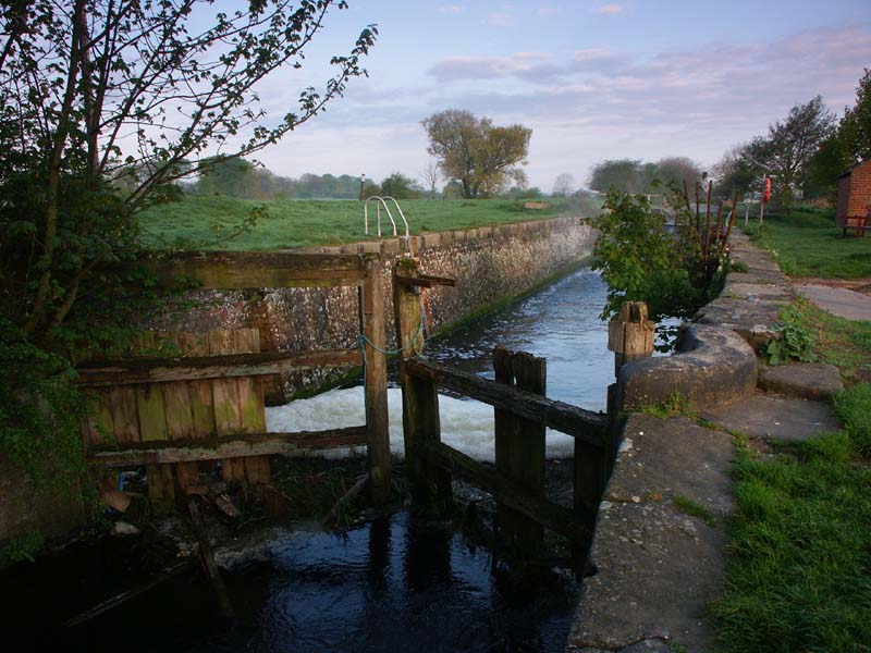
Wansford Lock
Wansford Lock was built as part of the Driffield Navigation in the East Riding of Yorkshire, England. It was opened in 1770, and restored in 2009. It was...

Wansford, East Riding of Yorkshire
Wansford is a village and former civil parish, now in the parish of Skerne and Wansford, in the East Riding of Yorkshire, England. It is situated on the...

Brigham, East Riding of Yorkshire
Brigham is a small village and former civil parish, now in the parish of Foston on the Wolds, in the East Riding of Yorkshire, England. It is situated...
Nearby Amenities
Located within 500m of 53.984471,-0.37413151Have you been to West Bank Or River Hull?
Leave your review of West Bank Or River Hull below (or comments, questions and feedback).