Beck Head

Lake, Pool, Pond, Freshwater Marsh in Yorkshire

England

Beck Head

Waterworks, Thwing Road
Waterworks, Thwing Road Credit: David Brown

Beck Head is a picturesque freshwater marsh located in the county of Yorkshire, England. Situated amidst the stunning landscape of the Yorkshire Dales, it is a haven for nature enthusiasts and a popular destination for birdwatchers.

The marsh is home to an array of aquatic habitats, including a lake, pool, and pond. The lake, with its calm and serene waters, provides a tranquil setting for visitors to enjoy the surrounding beauty. It is a vital source of freshwater, attracting a diverse range of flora and fauna.

The pool at Beck Head is a smaller body of water, offering a more intimate setting for visitors to observe the local wildlife. It serves as a breeding ground for various species of amphibians and waterfowl, adding to the biodiversity of the marsh.

A charming pond can also be found within the marsh, complete with lily pads and an assortment of aquatic plants. This idyllic spot attracts dragonflies and other insects, making it a captivating sight during the summer months.

Beck Head freshwater marsh boasts an abundance of wildlife, making it a paradise for nature lovers. Birdwatchers can spot a variety of avian species, including herons, swans, and ducks, as they navigate the marsh's waters. The surrounding marshland is also home to a range of mammals, such as otters and water voles, which can occasionally be spotted in their natural habitat.

Overall, Beck Head in Yorkshire offers a unique and enchanting experience for those seeking to immerse themselves in the beauty of nature. Whether it's the tranquil lake, the intimate pool, or the charming pond, this freshwater marsh is a true gem in the heart of Yorkshire.

If you have any feedback on the listing, please let us know in the comments section below.
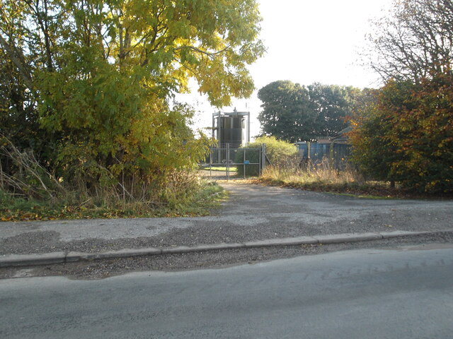
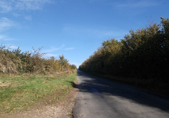
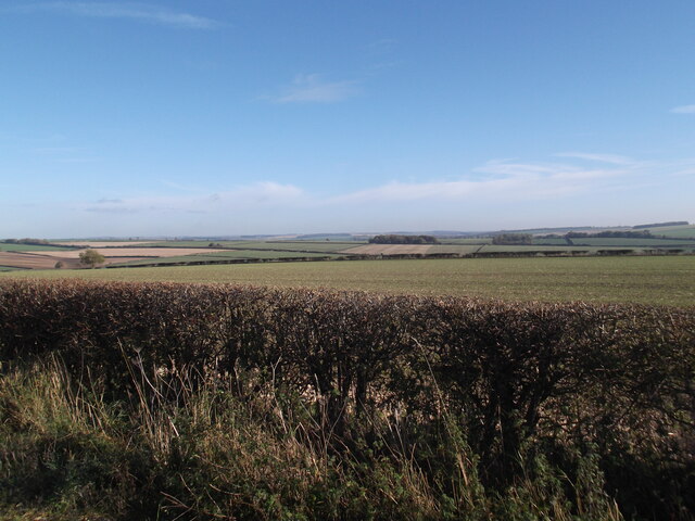
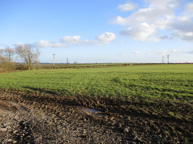
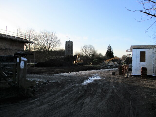
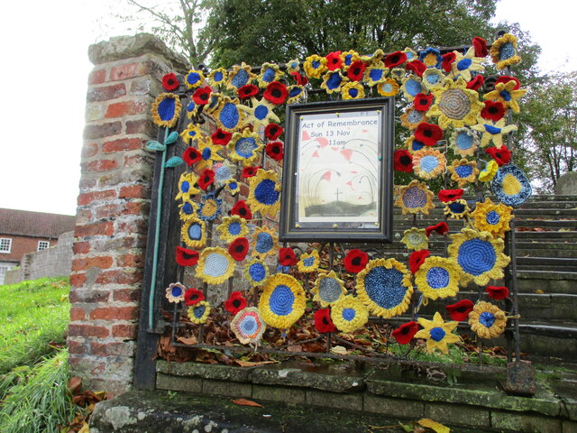
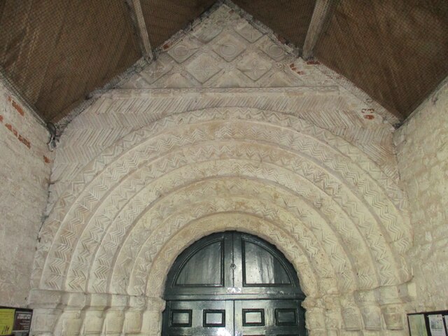
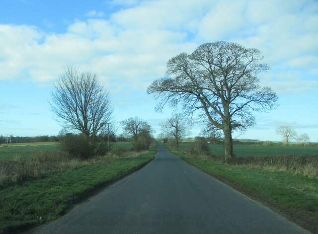
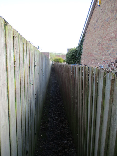
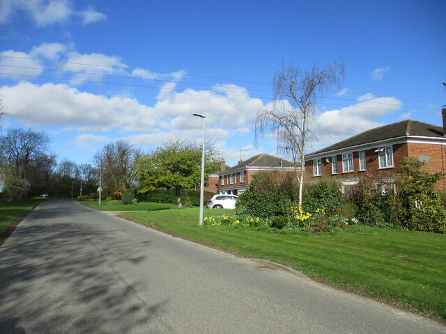
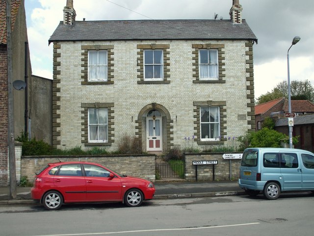
Beck Head Images

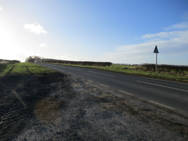
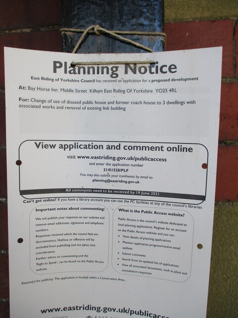
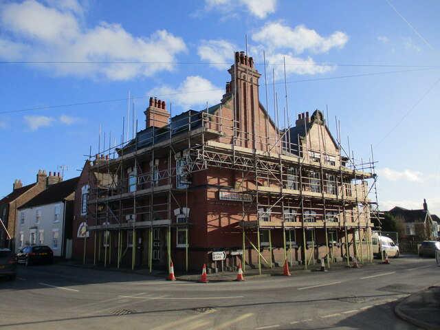
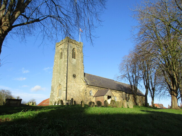
Images are sourced within 2km of 54.064556/-0.37114225 or Grid Reference TA0664. Thanks to Geograph Open Source API. All images are credited.

Waterworks, Thwing Road
Thwing Road
Thwing Road
Wolds view from Thwing Road
Arable  fields  planted  with  overwintering  crop south  of  Kilham Just showing to the left is the edge of the overgrown disused pit
Arable fields planted with overwintering crop south of Kilham
Just showing to the left is the edge of the overgrown disused pit
Road  from  Kilham  toward  B1249  at  Kendale
Road from Kilham toward B1249 at Kendale
Planning  Notice  for  Bay  Horse  Inn.  Middle  Street  Kilham Disused Public House conversion
Planning Notice for Bay Horse Inn. Middle Street Kilham
Disused Public House conversion
The  Bay  Horse  Inn  converting  to  housing At the junction of Middle Street and Chapel Lane it is being converted into 3 dwellings
The Bay Horse Inn converting to housing
At the junction of Middle Street and Chapel Lane it is being converted into 3 dwellings
All  Saints  Parish  Church  Kilham
All Saints Parish Church Kilham
Building  site  on  North  Back  Lane  Kilham All Saints church in the background, Six houses and a bungalow are to be built on this "bespoke development"
Building site on North Back Lane Kilham
All Saints church in the background, Six houses and a bungalow are to be built on this "bespoke development"
Green  Lane  follows  the  hedge  round  to  the  right Green Lane becomes Sandy Lane after the bend. To the right of the straw bale stack over the field can be seen a white dome shape, it is a Biogas Power Station
Green Lane follows the hedge round to the right
Green Lane becomes Sandy Lane after the bend. To the right of the straw bale stack over the field can be seen a white dome shape, it is a Biogas Power Station
Bedecked gate to All Saints Parish Church, Kilham For past and present conflicts
Bedecked gate to All Saints Parish Church, Kilham
For past and present conflicts
The  Norman  South  Doorway  at  All  Saints  Parish  Church Protected from the elements by the south porch
The Norman South Doorway at All Saints Parish Church
Protected from the elements by the south porch
Kilham  Lane  toward  Burton  Road
Kilham Lane toward Burton Road
Kilham  Lane  toward  Burton  Road  (2) The track going left is a field track to Tuft Hill Farm, power lines cross the lane alongside it
Kilham Lane toward Burton Road (2)
The track going left is a field track to Tuft Hill Farm, power lines cross the lane alongside it
Some  footpaths  become  a  little  tight  when  a  fence  leans Running between West End and South Side
Some footpaths become a little tight when a fence leans
Running between West End and South Side
High  Farm  Kilham.  A  building  site  behind  ? The farmhouse is looking rundown compared with Jonathan Thacker's photo from 2018
High Farm Kilham. A building site behind ?
The farmhouse is looking rundown compared with Jonathan Thacker's photo from 2018
Detached  houses  on  the  north  side  of  South  Side
Detached houses on the north side of South Side
White Hall Farm, Kilham 19thC Farmhouse on the junction of Middle Street & Church Street.
White Hall Farm, Kilham
19thC Farmhouse on the junction of Middle Street & Church Street.
Show me another place!

Beck Head is located at Grid Ref: TA0664 (Lat: 54.064556, Lng: -0.37114225)

Division: East Riding

Unitary Authority: East Riding of Yorkshire

Police Authority: Humberside

What 3 Words

///regaining.balconies.hobbit. Near Kilham, East Yorkshire

Nearby Locations

Kilham Beck Head

Related Wikis

Kilham, East Riding of Yorkshire

Kilham is a village and civil parish in the East Riding of Yorkshire, England. It is situated about 5 miles (8 km) north-east of Driffield town centre...

Ruston Parva

Ruston Parva is a hamlet and former civil parish, now in the parish of Harpham, in the East Riding of Yorkshire, England. It is situated approximately...

Dickering Wapentake

Dickering was a wapentake (which is an administrative division) of the historic East Riding of Yorkshire in England, consisting of the north-east part...
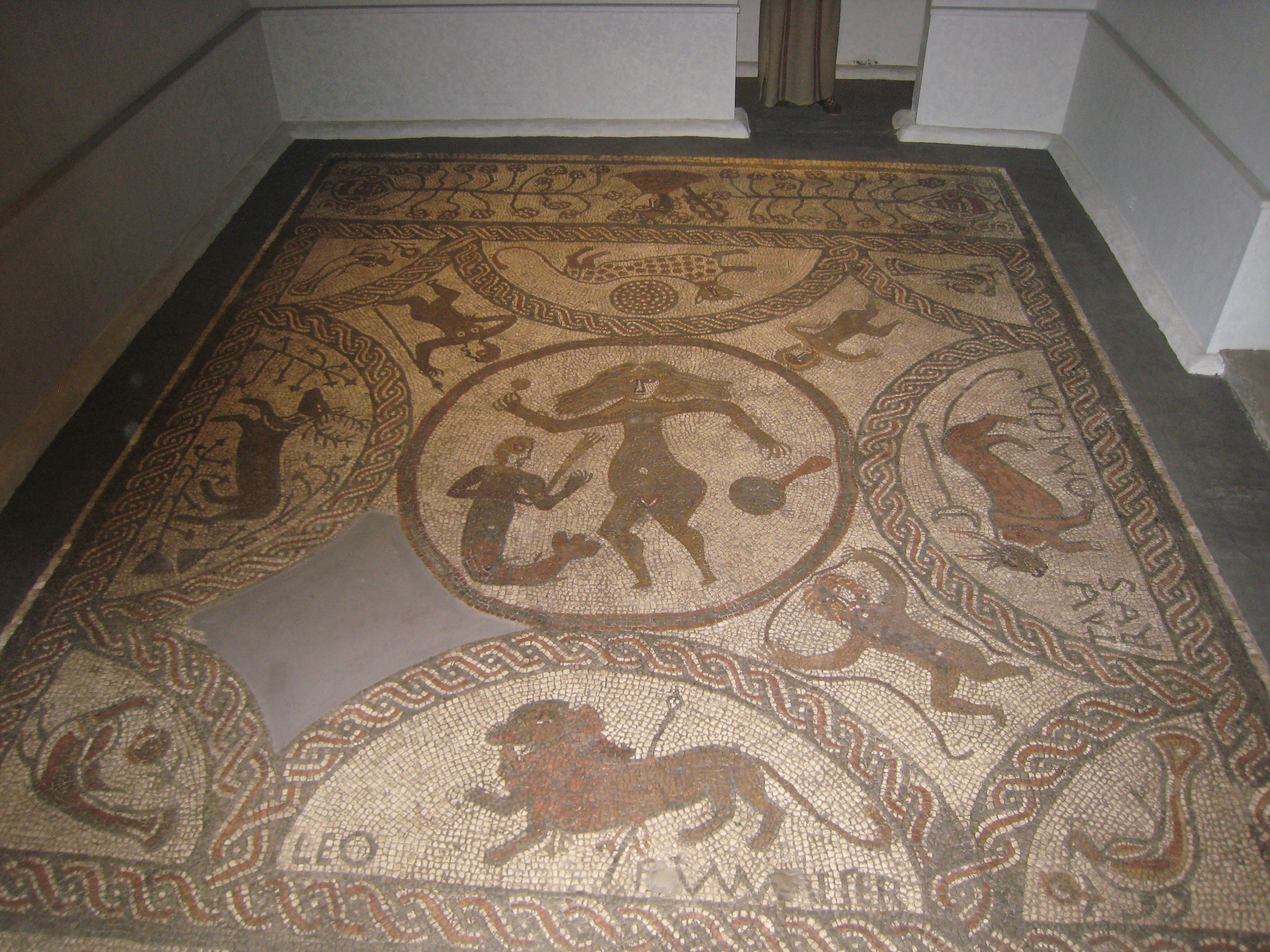
Rudston Roman villa

Rudston Roman villa is a Roman villa and scheduled monument near Rudston, East Riding of Yorkshire. == Villa == The site was first discovered in 1838 by...

Nearby Amenities

Located within 500m of 54.064556,-0.37114225
Telephone
Booth: K6
Covered: booth
Listed Status: Grade II
Phone: +44 1262 420235
Lat/Long: 54.0642082/-0.3762334
Bus Stop
Kilham East Street
Naptan AtcoCode: 2200YEA01088
Naptan Bearing: E
Naptan CommonName: Kilham East Street
Naptan Landmark: Post Office
Naptan Street: East Street
Naptan Verified: no
Source: naptan_import
Lat/Long: 54.0648556/-0.3732517
Post Office
Kilham Post Office
Addr City: Driffield
Addr Country: GB
Addr Housename: Village Hall
Addr Postcode: YO25 4RE
Addr Street: Church Street
Addr Suburb: Kilham
Brand: Post Office
Brand Wikidata: Q1783168
Opening Hours: We 13:00-16:00; Fr 09:00-12:00
Ref Pol Id: 141271
Website: https://www.postoffice.co.uk/branch-finder/4814711/kilham
Lat/Long: 54.065047/-0.3754563
Power: pole
Lat/Long: 54.0607372/-0.3675433
Power: pole
Lat/Long: 54.0619859/-0.3674799
Power: pole
Lat/Long: 54.0630593/-0.3674292
Power: pole
Lat/Long: 54.0642619/-0.3673414
Power: pole
Lat/Long: 54.0652442/-0.3672371
Power: pole
Lat/Long: 54.066303/-0.3670327
Power: pole
Lat/Long: 54.0672896/-0.3669305
Historic: memorial
Lat/Long: 54.0643226/-0.3754353
Post Box
Post Box Type: lamp
Ref: YO25 369
Royal Cypher: EIIR
Royal Cypher Wikidata: Q33102113
Lat/Long: 54.0645741/-0.3748227
Bench
Lat/Long: 54.0645346/-0.3748227
Bench
Lat/Long: 54.0640207/-0.3770158
Bench
Lat/Long: 54.0639987/-0.3769326
Pub
The Old Star
Addr City: Driffield
Addr Postcode: YO25 4RG
Addr Street: Church Street
Addr Suburb: Kilham
Lat/Long: 54.0640648/-0.3756854
The data included in this document is from www.openstreetmap.org. The data is made available under ODbL.

Have you been to Beck Head?

Leave your review of Beck Head below (or comments, questions and feedback).