Kelleythorpe Trout Lake
Lake, Pool, Pond, Freshwater Marsh in Yorkshire
England
Kelleythorpe Trout Lake
Kelleythorpe Trout Lake, located in the picturesque region of Yorkshire, is a serene and idyllic freshwater body that encompasses various aquatic ecosystems. This multifaceted water feature can be classified as a lake, pool, pond, and freshwater marsh due to its diverse characteristics.
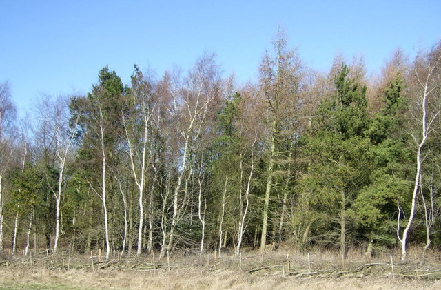
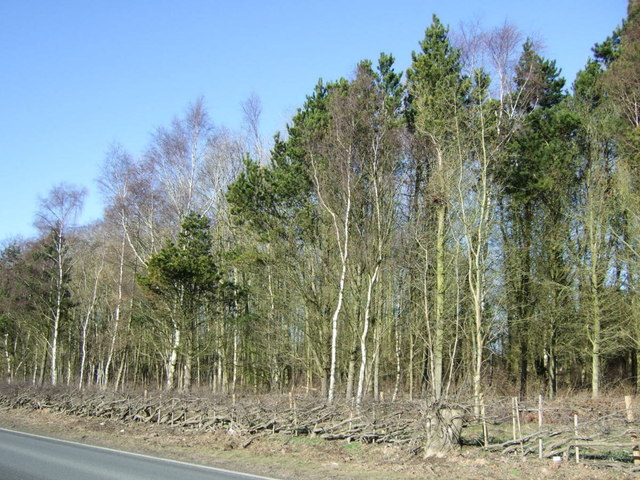
Spanning over a considerable area, Kelleythorpe Trout Lake boasts crystal-clear waters that harbor a thriving population of trout, making it a popular destination for anglers and fishing enthusiasts. The lake's depth varies, creating different habitats for aquatic flora and fauna. The shallower sections are home to a plethora of water lilies, reeds, and other emergent vegetation, providing a haven for numerous bird species and small mammals.
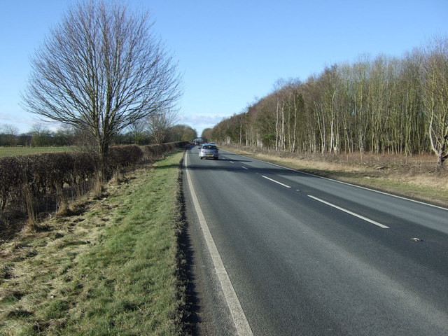
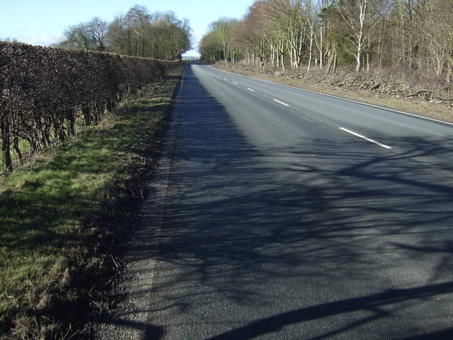
Surrounding the lake, a lush green landscape of meadows and woodlands adds to the beauty and tranquility of the area. The lake's shores are easily accessible, with well-maintained footpaths allowing visitors to explore and appreciate the stunning scenery. Additionally, several benches and picnic spots are strategically placed, allowing visitors to relax and soak in the peaceful ambiance.
Kelleythorpe Trout Lake is not only a haven for wildlife but also offers recreational opportunities for visitors. Fishing permits can be obtained, enabling individuals to try their luck at catching the prized trout. Furthermore, birdwatchers flock to the lake to observe various avian species, including herons, swans, and ducks. The lake's diverse ecosystem provides a rich and educational experience for nature enthusiasts and researchers alike.
In conclusion, Kelleythorpe Trout Lake in Yorkshire is a remarkable freshwater feature that encompasses a range of aquatic environments. With its abundant wildlife, picturesque surroundings, and recreational opportunities, it is a destination that offers both tranquility and adventure to all who visit.
If you have any feedback on the listing, please let us know in the comments section below.
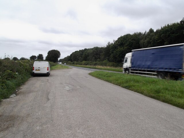
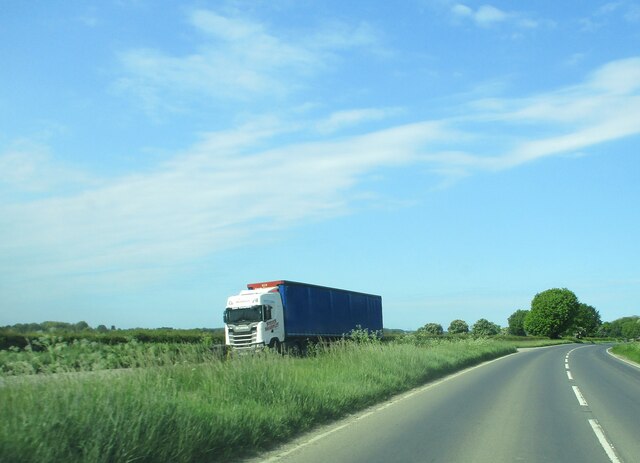
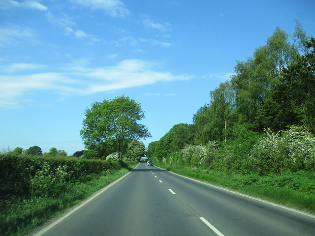
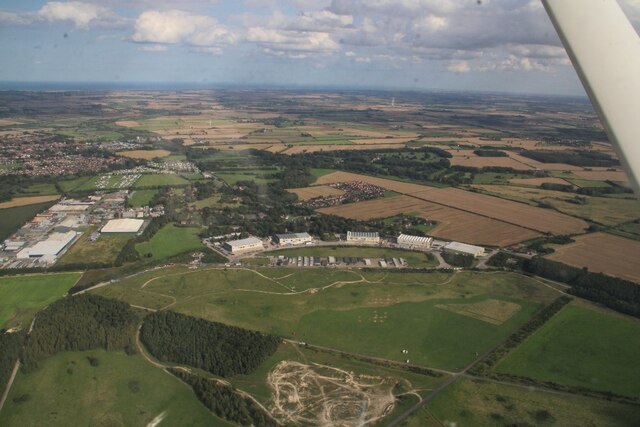
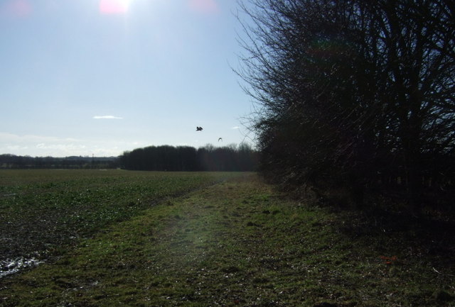
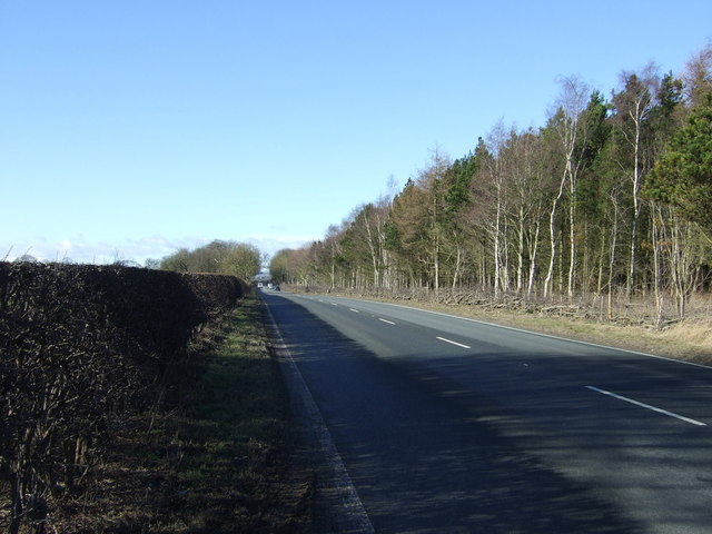
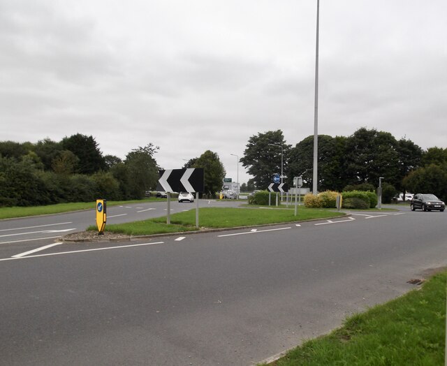
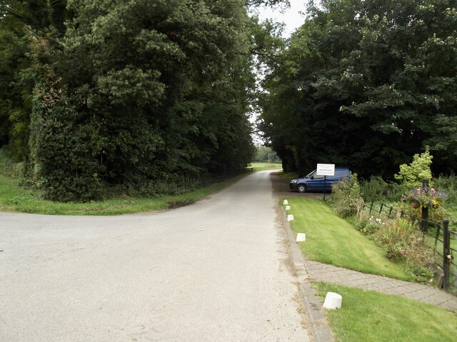
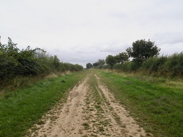
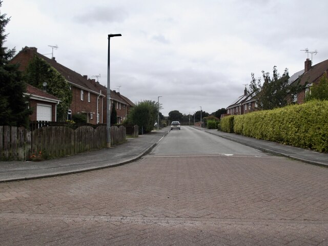
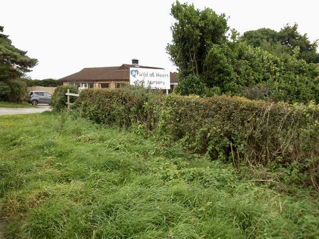
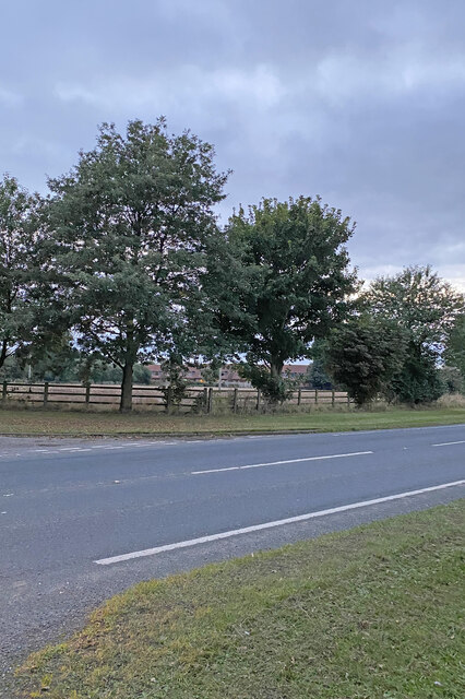
Kelleythorpe Trout Lake Images
Images are sourced within 2km of 53.992326/-0.45514552 or Grid Reference TA0156. Thanks to Geograph Open Source API. All images are credited.

Kelleythorpe Trout Lake is located at Grid Ref: TA0156 (Lat: 53.992326, Lng: -0.45514552)
Division: East Riding
Unitary Authority: East Riding of Yorkshire
Police Authority: Humberside
What 3 Words
///then.scatter.recorders. Near Driffield, East Yorkshire
Nearby Locations
Related Wikis
Kelleythorpe
Kelleythorpe is a hamlet in the East Riding of Yorkshire, England, it forms part of the civil parish of Kirkburn. It is situated in the Yorkshire Wolds...
Driffield Show
Driffield Show is a one-day agricultural show held in mid-July in the town of Driffield. The showground is located southwest of the town near Kelleythorpe...

Sunderlandwick
Sunderlandwick is a hamlet in the East Riding of Yorkshire, England. It is situated approximately 1.5 miles (2.4 km) south of Driffield and lies to the...
Little Driffield
Little Driffield is a small village in the civil parish of Driffield, in the East Riding of Yorkshire, England. It is situated on the western outskirts...

Driffield
Driffield, also known as Great Driffield, is a market town and civil parish in the East Riding of Yorkshire, England. The civil parish is formed by the...

Yorkshire Wolds
The Yorkshire Wolds are hills in the counties of the East Riding of Yorkshire and North Yorkshire in Northern England. They are the northernmost chalk...
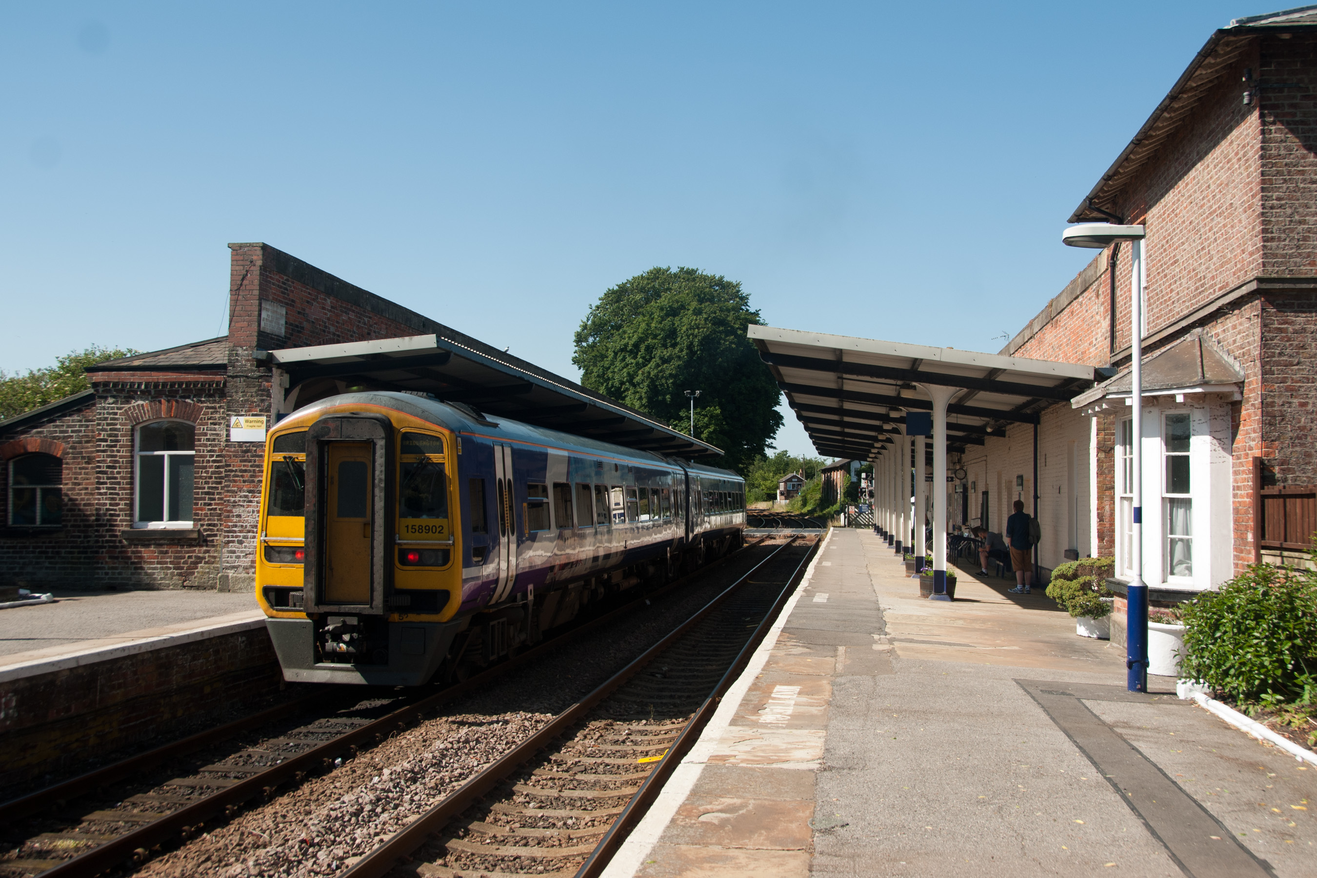
Driffield railway station
Driffield railway station serves the town of Driffield in the East Riding of Yorkshire, England. It is located on the Hull–Scarborough line and is operated...
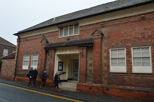
Driffield Town Hall
Driffield Town Hall is a former municipal building in Exchange Street, Driffield, East Riding of Yorkshire, England. The structure is now used as an annex...
Nearby Amenities
Located within 500m of 53.992326,-0.45514552Have you been to Kelleythorpe Trout Lake?
Leave your review of Kelleythorpe Trout Lake below (or comments, questions and feedback).