Great Wenham

Settlement in Suffolk Babergh

England

Great Wenham

Brook Lane & Bottle Bridge Cottages
Brook Lane & Bottle Bridge Cottages Credit: Geographer

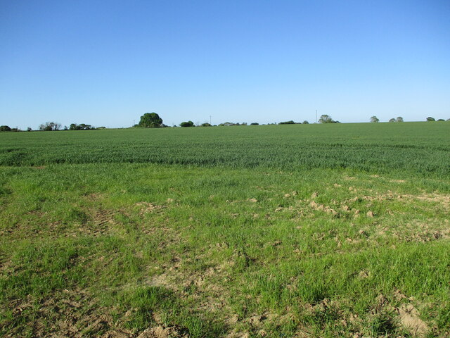
Great Wenham is a small village located in the county of Suffolk, England. Situated approximately 10 miles northeast of the town of Ipswich, Great Wenham is part of the Babergh district. The village is set in a rural landscape, surrounded by fields and farmland, contributing to its tranquil and picturesque charm.

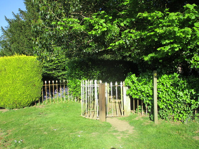
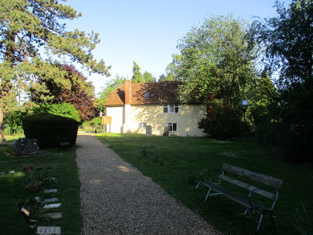
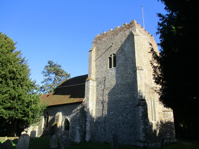
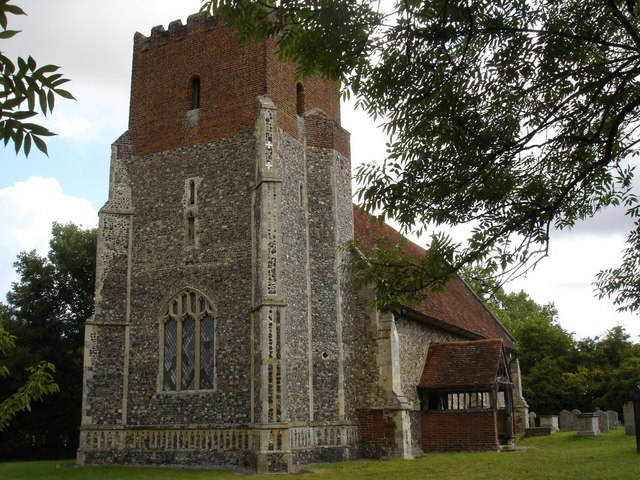
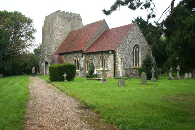
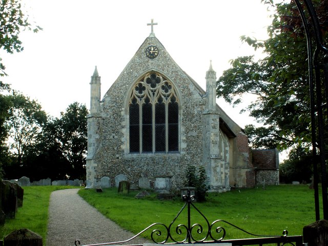
Great Wenham has a long history, with evidence of settlement in the area dating back to the Roman period. The village itself is known for its attractive traditional cottages, many of which are constructed from local materials such as timber and thatch. The village church, St. John the Baptist, is a notable landmark, dating back to the 14th century and featuring beautiful stained glass windows and intricate stonework.

Despite its small size, Great Wenham has a strong sense of community, with a range of local amenities and activities available to residents. These include a village hall, where various events and gatherings take place, and a local pub, providing a social hub for villagers and visitors alike.

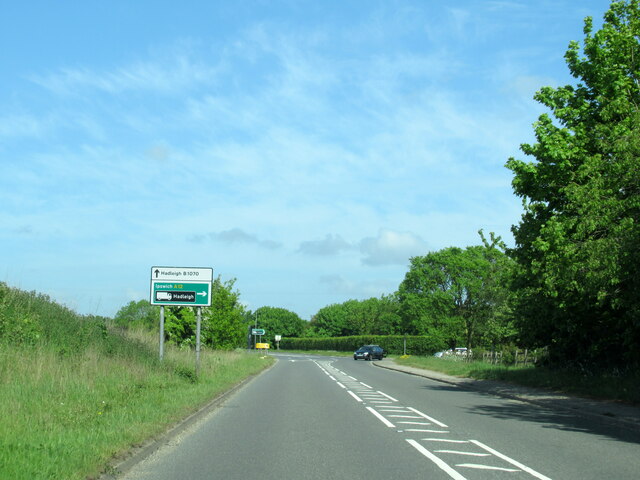
The surrounding countryside offers ample opportunities for outdoor activities, such as walking and cycling, with several footpaths and trails winding through the picturesque landscape. Additionally, Great Wenham is conveniently located near the A12 road, providing easy access to nearby towns and cities.

In summary, Great Wenham is a charming and historic village nestled in the Suffolk countryside, offering a peaceful retreat for residents and visitors seeking a quintessential English rural experience.

If you have any feedback on the listing, please let us know in the comments section below.
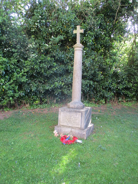
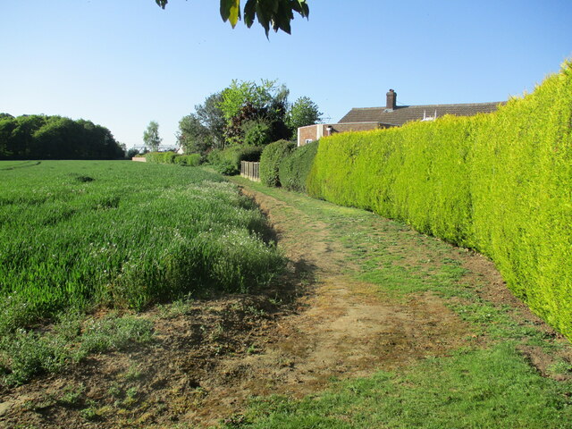
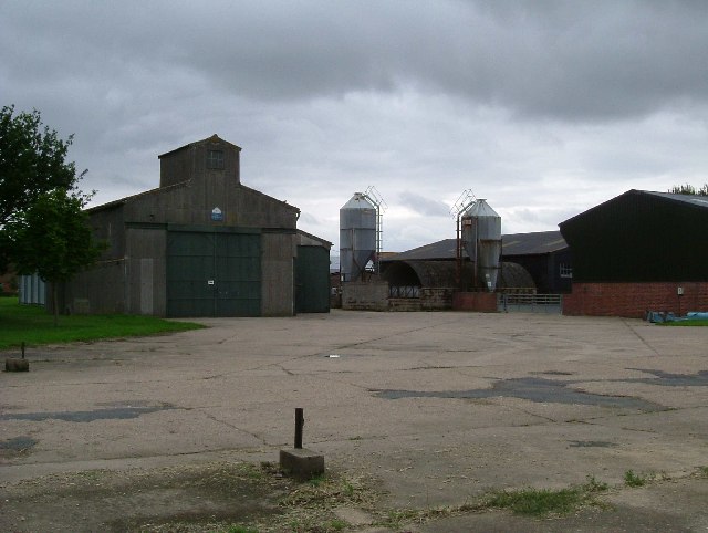
Great Wenham Images

Images are sourced within 2km of 52.004191/1.015166 or Grid Reference TM0738. Thanks to Geograph Open Source API. All images are credited.

Brook Lane & Bottle Bridge Cottages
Brook Lane & bridleway
Bridleway to The Street & Upper Birches Off Brook Lane
Bridleway to The Street & Upper Birches
Off Brook Lane
B1070 at junction for A12 north
Gate into the churchyard, Holton St. Mary
The churchyard, Holton St. Mary
Field of wheat near Holton St. Mary
War Memorial, Holton St. Mary At some stage in its history memorial has lost an ornamental lamp. This has been replaced by a cross <span class="nowrap"><a title="https://historicengland.org.uk/listing/the-list/list-entry/1465009?section=official-list-entry" rel="nofollow ugc noopener" href="https://historicengland.org.uk/listing/the-list/list-entry/1465009?section=official-list-entry">Link</a><img style="margin-left:2px;" alt="External link" title="External link - shift click to open in new window" src="https://s1.geograph.org.uk/img/external.png" width="10" height="10"/></span>
War Memorial, Holton St. Mary
At some stage in its history memorial has lost an ornamental lamp. This has been replaced by a cross LinkExternal link
Field edge, Holton St. Mary Not a public footpath but seems to be well used as such.
Field edge, Holton St. Mary
Not a public footpath but seems to be well used as such.
The parish church, Holton St. Mary Grade II* listed <span class="nowrap"><a title="https://historicengland.org.uk/listing/the-list/list-entry/1351596?section=official-list-entry" rel="nofollow ugc noopener" href="https://historicengland.org.uk/listing/the-list/list-entry/1351596?section=official-list-entry">Link</a><img style="margin-left:2px;" alt="External link" title="External link - shift click to open in new window" src="https://s1.geograph.org.uk/img/external.png" width="10" height="10"/></span>
The parish church, Holton St. Mary
Grade II* listed LinkExternal link
The A12, Capel St Mary I've been here before. <a title="https://www.geograph.org.uk/photo/5377066" href="https://www.geograph.org.uk/photo/5377066">Link</a>
The A12, Capel St Mary
I've been here before. Link
The A12, Capel St Mary
Layby on the A12, East Bergholt
The A12, East Bergholt
View east off Cutlers Lane
Raydon Hall Farm This workman like looking farm stands on the edge of the old Raydon Aerodrome it has the advantage that many of its farm tracks are concrete taxiways.  Clearly the yard was once an aircraft dispersal.
Raydon Hall Farm
This workman like looking farm stands on the edge of the old Raydon Aerodrome it has the advantage that many of its farm tracks are concrete taxiways. Clearly the yard was once an aircraft dispersal.
Runway The photograph was taken from the remains of an aircraft dispersal looking northeast(ish) along the minor road to Hintlesham. The road follows the course of one of the runways of Raydon airfield.
Runway
The photograph was taken from the remains of an aircraft dispersal looking northeast(ish) along the minor road to Hintlesham. The road follows the course of one of the runways of Raydon airfield.
"They Came in Our Hour of Need" Raydon Airfield Memorial, the monument remembers the members of the USAAF 833 & 862 Aviation Engineering Battalions and 353,357,358 Fighter Groups who served at Raydon Airfield in WW2. The plaque says "They Came in Our Hour of Need". It stands at the end of one of the main runways. The photo was taken looking southwest. The remains of the airscrews are from P51 Mustang on the Right and a P47 thunderbolt on the left. Both types operated from Raydon.
"They Came in Our Hour of Need"
Raydon Airfield Memorial, the monument remembers the members of the USAAF 833 & 862 Aviation Engineering Battalions and 353,357,358 Fighter Groups who served at Raydon Airfield in WW2. The plaque says "They Came in Our Hour of Need". It stands at the end of one of the main runways. The photo was taken looking southwest. The remains of the airscrews are from P51 Mustang on the Right and a P47 thunderbolt on the left. Both types operated from Raydon.
Show me another place!

Great Wenham is located at Grid Ref: TM0738 (Lat: 52.004191, Lng: 1.015166)

Administrative County: Suffolk

District: Babergh

Police Authority: Suffolk

What 3 Words

///jumbled.blacked.cabbages. Near Capel St Mary, Suffolk

Related Wikis

Wenham Magna

Wenham Magna, also known as Great Wenham, is a village and a civil parish in the Babergh district of Suffolk in eastern England. The parish also contains...

All Saints Church, Little Wenham

All Saints Church is a redundant Anglican church in the village of Little Wenham, Suffolk, England. It is recorded in the National Heritage List for England...

Little Wenham

Little Wenham is a small village in Suffolk, England. It is part of the civil parish of Wenham Parva – the ancient name for Little Wenham) within Babergh...

Wenham Parva

Wenham Parva is a civil parish in Suffolk, England. It covers the village of Little Wenham (whose ancient name it takes) and the hamlet of Wenham Grange...

Holton St Mary

Holton St Mary is a village and civil parish in Suffolk, England. Located on the B1070 around five miles south-west of Ipswich and half a mile from the...

Raydon

Raydon is a village and civil parish in Suffolk, England. Located around two miles south-east of Hadleigh, it is part of Babergh district. The parish also...

Capel St. Mary

Capel St. Mary – commonly known as Capel – is a village in Suffolk, England. It is about 6 miles (10 km) south-west of Ipswich and 2 miles (3 km) from...

Raydon Wood railway station

Raydon Wood railway station was a station in Suffolk, on a short branch line from Bentley Junction to Hadleigh. There was a goods shed on a passing loop...

Nearby Amenities

Located within 500m of 52.004191,1.015166
Bus Stop
Queens Head
Local Ref: adj
Naptan AtcoCode: 390010567
Naptan Bearing: E
Naptan BusStopType: CUS
Naptan CommonName: Queens Head
Naptan Landmark: Queens Head
Naptan NaptanCode: sufagpjw
Naptan Street: The Row
Naptan Verified: no
Source: naptan_import
Lat/Long: 52.007542/1.0188505
Bus Stop
Queens Head
Local Ref: opp
Naptan AtcoCode: 390010568
Naptan Bearing: W
Naptan BusStopType: CUS
Naptan CommonName: Queens Head
Naptan Landmark: Queens Head
Naptan NaptanCode: sufagpma
Naptan Street: The Row
Naptan Verified: no
Source: naptan_import
Lat/Long: 52.007558/1.0185747
Bus Stop
Church Close
Local Ref: adj
Naptan AtcoCode: 390010569
Naptan Bearing: SW
Naptan CommonName: Church Close
Naptan Landmark: Church Close
Naptan NaptanCode: sufagpmd
Naptan Street: Cashey Lane
Naptan Verified: no
Source: naptan_import
Lat/Long: 52.0041205/1.0147875
Bus Stop
Church Close
Local Ref: opp
Naptan AtcoCode: 390010570
Naptan Bearing: NE
Naptan CommonName: Church Close
Naptan Landmark: Church Close
Naptan NaptanCode: sufagpmg
Naptan Street: Cashey Lane
Naptan Verified: no
Source: naptan_import
Lat/Long: 52.0041493/1.0147166
Pub
Queens Head (AKA Queen)
Addr City: Wenham Magna
Addr Postcode: CO7 6PU
Addr Street: Capel St Mary Road
Lat/Long: 52.0076914/1.0188667
Great Wenham
Place: village
Source: NLS - OS 1:25k 1st Series 1937-61
Wikidata: Q2802236
Lat/Long: 52.0056066/1.0142456
Turning Circle
Lat/Long: 52.0043245/1.0165237
The data included in this document is from www.openstreetmap.org. The data is made available under ODbL.

Have you been to Great Wenham?

Leave your review of Great Wenham below (or comments, questions and feedback).