Silwood Lake

Lake, Pool, Pond, Freshwater Marsh in Berkshire

England

Silwood Lake

The Forge 86a Upper Village Road Sunninghill The house was built 25 years ago following demolition of the original factory (The Forge). The climber on the right is Solanum jasminoides 'Album', still flowering profusely in October.
The Forge 86a Upper Village Road Sunninghill Credit: Mick Crawley

Silwood Lake is a picturesque freshwater lake located in the county of Berkshire, England. Nestled in the heart of the Silwood Park, an expansive estate near the town of Ascot, the lake covers an area of approximately 10 acres. Surrounded by lush greenery and woodland, it offers a serene and tranquil setting for visitors to enjoy.

The lake itself is characterized by its crystal-clear waters, which reflect the surrounding landscape, creating a stunning visual spectacle. It is primarily fed by natural springs and rainfall, ensuring a constant flow of freshwater. The lake's depth varies, with some areas reaching up to 20 feet, providing ample space for various aquatic species to thrive.

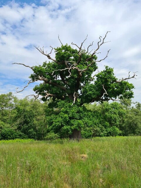
Silwood Lake is home to a diverse range of flora and fauna, making it a popular spot for nature enthusiasts and birdwatchers. The surrounding marshland acts as a natural habitat for numerous species of waterfowl, including ducks, geese, and herons. The lake is also teeming with fish, such as carp and perch, attracting anglers from far and wide.

Visitors to Silwood Lake can partake in a variety of recreational activities, including boating, fishing, and wildlife observation. There are designated walking trails that allow visitors to explore the lake's surroundings and admire the natural beauty of the area. Picnic spots are scattered along the shoreline, providing the perfect opportunity to relax and enjoy a meal amidst the peaceful atmosphere.

Overall, Silwood Lake offers a unique and rejuvenating experience for those seeking a natural escape in the heart of Berkshire. With its stunning vistas, diverse wildlife, and range of activities, it is a hidden gem waiting to be discovered.

If you have any feedback on the listing, please let us know in the comments section below.
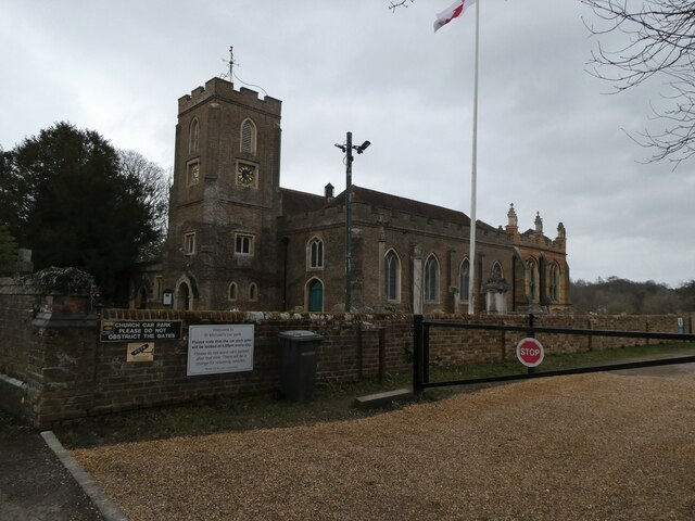
Silwood Lake Images

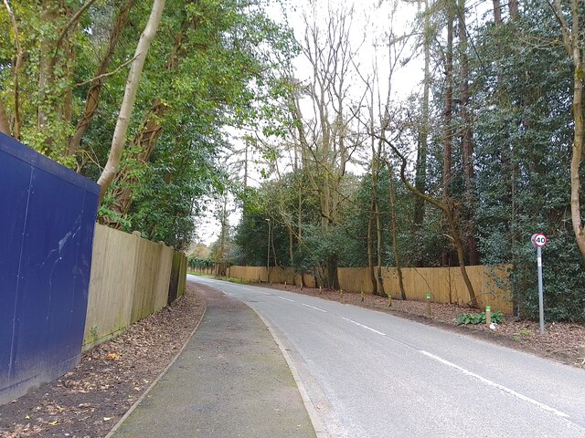
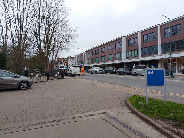
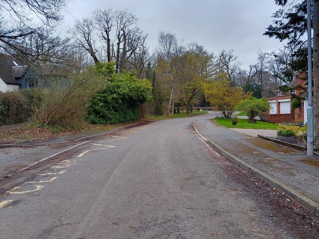
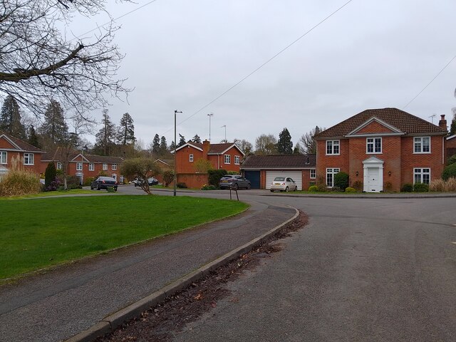
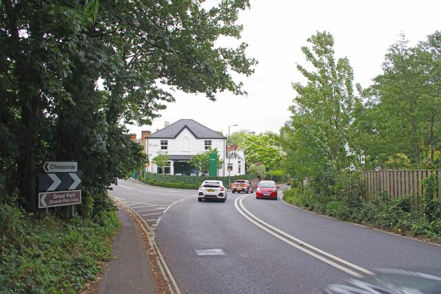
Images are sourced within 2km of 51.413318/-0.64820661 or Grid Reference SU9469. Thanks to Geograph Open Source API. All images are credited.

The Forge 86a Upper Village Road Sunninghill The house was built 25 years ago following demolition of the original factory (The Forge). The climber on the right is Solanum jasminoides 'Album', still flowering profusely in October.
The Forge 86a Upper Village Road Sunninghill
The house was built 25 years ago following demolition of the original factory (The Forge). The climber on the right is Solanum jasminoides 'Album', still flowering profusely in October.
Looking south-southwest along Church Lane
St Michael & All Angels, Sunninghill: early February 2022
site of the former Sunninghill Gasometer After lying derelict for many years, the gasometer was eventually demolished, then the site lay as waste ground for a decade, during which period it developed a very diverse flora.  All that is gone now, as the long-delayed housing development is underway.
site of the former Sunninghill Gasometer
After lying derelict for many years, the gasometer was eventually demolished, then the site lay as waste ground for a decade, during which period it developed a very diverse flora. All that is gone now, as the long-delayed housing development is underway.
Stag-headed Quercus robur in Church Field Silwood Park As the tree ages,  there comes a point when the canopy starts to contract each year  leaving the resilient but now dead limbs behind.
Stag-headed Quercus robur in Church Field Silwood Park
As the tree ages, there comes a point when the canopy starts to contract each year leaving the resilient but now dead limbs behind.
Park Crescent A road that goes in a loop, serving cul-de-sacs on a housing estate, off Rise Road.
Park Crescent
A road that goes in a loop, serving cul-de-sacs on a housing estate, off Rise Road.
Park Crescent A road that goes in a loop, serving cul-de-sacs on a housing estate, off Rise Road.
Park Crescent
A road that goes in a loop, serving cul-de-sacs on a housing estate, off Rise Road.
Park Crescent A road that goes in a loop, serving cul-de-sacs on a housing estate, off Rise Road.
Park Crescent
A road that goes in a loop, serving cul-de-sacs on a housing estate, off Rise Road.
Larch Avenue A road between Silwood Road (the B383) and Rise Road.
Larch Avenue
A road between Silwood Road (the B383) and Rise Road.
Ascot High Street The high street in Ascot on race day - a place to avoid if you aren't heading to the races yourself, viewed from the petrol station. Lots of illegal parking and thousands of cars flocking everywhere.
Ascot High Street
The high street in Ascot on race day - a place to avoid if you aren't heading to the races yourself, viewed from the petrol station. Lots of illegal parking and thousands of cars flocking everywhere.
Dorian Drive A road leading to Green Lane off Watersplash Lane. To the left are road markings for Cheapside C of E Primary School.
Dorian Drive
A road leading to Green Lane off Watersplash Lane. To the left are road markings for Cheapside C of E Primary School.
Dorian Drive A road leading to Green Lane off Watersplash Lane. The houses are all in a typical Ascot style, but not particularly large.
Dorian Drive
A road leading to Green Lane off Watersplash Lane. The houses are all in a typical Ascot style, but not particularly large.
Ascot : Old Golden Gates Lodge At the former entrance to Ascot race-course. Grade II listed lodge - <span class="nowrap"><a title="https://historicengland.org.uk/listing/the-list/list-entry/1119816?section=official-list-entry" rel="nofollow ugc noopener" href="https://historicengland.org.uk/listing/the-list/list-entry/1119816?section=official-list-entry">Link</a><img style="margin-left:2px;" alt="External link" title="External link - shift click to open in new window" src="https://s1.geograph.org.uk/img/external.png" width="10" height="10"/></span>
Ascot : Old Golden Gates Lodge
At the former entrance to Ascot race-course. Grade II listed lodge - LinkExternal link
Royal Berkshire Hotel Once owned by the Spencer Family (Winston Spencer Churchill) the building was later  used as a School for the blind and since the early 1970's has been a hotel. An ideal billet for the  Ascot races or Sunningdale Golf.
Royal Berkshire Hotel
Once owned by the Spencer Family (Winston Spencer Churchill) the building was later used as a School for the blind and since the early 1970's has been a hotel. An ideal billet for the Ascot races or Sunningdale Golf.
Walled Garden for The Oaks The Oaks was the name of Charles Churchill's 1705 mansion. Now the <a href="https://www.geograph.org.uk/photo/7542840">SU9468 : Royal Berkshire Hotel</a>
Walled Garden for The Oaks
The Oaks was the name of Charles Churchill's 1705 mansion. Now the SU9468 : Royal Berkshire Hotel
Gates to a Walled Garden These days more a walled lawn than a garden. You can see a recreation of what  the eighteenth century gardens may have looked like at <a href="https://www.geograph.org.uk/photo/7542843">SU9468 : Walled Garden for The Oaks</a>
Gates to a Walled Garden
These days more a walled lawn than a garden. You can see a recreation of what the eighteenth century gardens may have looked like at SU9468 : Walled Garden for The Oaks
Sadly Not Longer a Fish Pond I am fairly sure a combination of Herons and a bloom of  blue green algae have put paid to any fish that lived in the pond of the <a href="https://www.geograph.org.uk/photo/7542840">SU9468 : Royal Berkshire Hotel</a>.
Sadly Not Longer a Fish Pond
I am fairly sure a combination of Herons and a bloom of blue green algae have put paid to any fish that lived in the pond of the SU9468 : Royal Berkshire Hotel.
The Way to Cheapside Cheap? Round here who's kidding whom? The left-hand fork leads to <a href="https://www.geograph.org.uk/photo/7542859">SU9568 : Charles III's Back Garden Gate</a>. The building at the fork is the Bluebells restaurant; sadly, I didn't get a chance to try the fayre  <span class="nowrap"><a title="https://bluebells-restaurant.co.uk" rel="nofollow ugc noopener" href="https://bluebells-restaurant.co.uk">Link</a><img style="margin-left:2px;" alt="External link" title="External link - shift click to open in new window" src="https://s1.geograph.org.uk/img/external.png" width="10" height="10"/></span>.
The Way to Cheapside
Cheap? Round here who's kidding whom? The left-hand fork leads to SU9568 : Charles III's Back Garden Gate. The building at the fork is the Bluebells restaurant; sadly, I didn't get a chance to try the fayre LinkExternal link.
Show me another place!

Silwood Lake is located at Grid Ref: SU9469 (Lat: 51.413318, Lng: -0.64820661)

Unitary Authority: Windsor and Maidenhead

Police Authority: Thames Valley

What 3 Words

///comical.insert.leans. Near Ascot, Berkshire

Related Wikis

Sunninghill and Ascot

Sunninghill and Ascot is a civil parish in the Royal Borough of Windsor and Maidenhead and takes up most of the south-east corner of the English county...

The Cedars, Sunninghill

The Cedars is a large detached house in Sunninghill, Berkshire. It is two storeys in height, painted white render and has a hipped slate roof. The house...

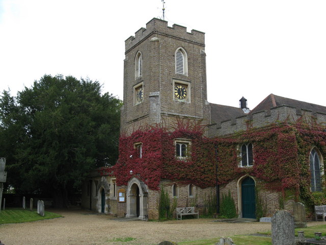
St Michael and All Angels Church, Sunninghill

The Church of Saint Michael and All Angels is in the village of Sunninghill, in Berkshire, England. It is an active Anglican parish church in the diocese...

Tetworth Hall

Tetworth Hall is a large country house between Ascot and Sunninghill in the English county of Berkshire. It has been listed Grade II on the National Heritage...

Nearby Amenities

Located within 500m of 51.413318,-0.64820661
Bus Stop
Hilltop Close
Naptan AtcoCode: 036006001308
Naptan Bearing: W
Naptan CommonName: Hilltop Close
Naptan Indicator: adj
Naptan Landmark: Hilltop Close
Naptan NaptanCode: winapdt
Naptan Street: Cheapside Road
Naptan Verified: no
Public Transport: platform
Shelter: yes
Source: naptan_import
Lat/Long: 51.41665/-0.64822
Bus Stop
Hilltop Close
Naptan AtcoCode: 036006635635
Naptan Bearing: E
Naptan CommonName: Hilltop Close
Naptan Indicator: opp
Naptan Landmark: Hilltop Close
Naptan NaptanCode: windtjt
Naptan Street: Cheapside Road
Naptan Verified: no
Public Transport: platform
Source: naptan_import
Lat/Long: 51.41688/-0.6471059
Silwood Park
Place: locality
Wikidata: Q7517190
Wikipedia: en:Silwood Park
Lat/Long: 51.4115058/-0.6418382
Cascade Bridge
Place: locality
Lat/Long: 51.4114808/-0.6527475
Gunnes's Bridge
Place: locality
Lat/Long: 51.4114728/-0.6466179
Heronsbrook
Place: locality
Lat/Long: 51.415088/-0.6429904
The Cedars
Place: isolated_dwelling
Wikidata: Q26413114
Lat/Long: 51.4093888/-0.6508328
Man Made: tower
Tower Construction: lattice
Tower Type: communication
Lat/Long: 51.4147447/-0.6521739
Turning Circle
Lat/Long: 51.4148053/-0.6417267
Direction: 165
Generator Method: photovoltaic
Generator Output Electricity: yes
Generator Solar Modules: 12
Generator Source: solar
Generator Type: solar_photovoltaic_panel
Location: roof
Power: generator
Lat/Long: 51.4132607/-0.6546746
Direction: 260
Generator Method: photovoltaic
Generator Output Electricity: yes
Generator Solar Modules: 8
Generator Source: solar
Generator Type: solar_photovoltaic_panel
Location: roof
Power: generator
Lat/Long: 51.4164331/-0.6473789
Direction: 80
Generator Method: photovoltaic
Generator Output Electricity: yes
Generator Solar Modules: 8
Generator Source: solar
Generator Type: solar_photovoltaic_panel
Location: roof
Power: generator
Lat/Long: 51.416437/-0.6473417
Direction: 170
Fixme: survey for panel count
Generator Method: photovoltaic
Generator Output Electricity: yes
Generator Solar Modules: 12
Generator Source: solar
Generator Type: solar_photovoltaic_panel
Location: roof
Power: generator
Lat/Long: 51.4164514/-0.6472614
Direction: 170
Fixme: survey for panel count
Generator Method: photovoltaic
Generator Output Electricity: yes
Generator Solar Modules: 12
Generator Source: solar
Generator Type: solar_photovoltaic_panel
Location: roof
Power: generator
Lat/Long: 51.4165219/-0.6463415
Direction: 170
Generator Method: photovoltaic
Generator Output Electricity: yes
Generator Solar Modules: 10
Generator Source: solar
Generator Type: solar_photovoltaic_panel
Location: roof
Power: generator
Lat/Long: 51.4162842/-0.6457014
Barrier: kissing_gate
Foot: yes
Horse: no
Motor Vehicle: no
Lat/Long: 51.4097902/-0.64943
Colour: yellow
Marker: post
Material: concrete
Utility: gas
Lat/Long: 51.4160391/-0.6531016
Colour: yellow
Marker: post
Material: concrete
Utility: gas
Lat/Long: 51.4161285/-0.6532541
Colour: yellow
Marker: aerial
Utility: gas
Lat/Long: 51.4160345/-0.6531014
The data included in this document is from www.openstreetmap.org. The data is made available under ODbL.

Have you been to Silwood Lake?

Leave your review of Silwood Lake below (or comments, questions and feedback).