Nash's Copse

Wood, Forest in Berkshire

England

Nash's Copse

The Forge 86a Upper Village Road Sunninghill The house was built 25 years ago following demolition of the original factory (The Forge). The climber on the right is Solanum jasminoides 'Album', still flowering profusely in October.
The Forge 86a Upper Village Road Sunninghill Credit: Mick Crawley

Nash's Copse is a picturesque woodland located in the county of Berkshire, England. Covering an area of approximately 50 acres, it is a haven for nature enthusiasts and walkers alike. The copse is situated near the village of Hermitage, just a short distance from Newbury.

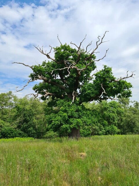
The woodland is predominantly made up of native British tree species, including oak, beech, and birch. These towering trees create a dense canopy, providing a tranquil and shaded environment for visitors. The forest floor is covered in a blanket of vibrant wildflowers during the spring and summer months, adding to the copse's natural beauty.

Nash's Copse is home to a diverse range of wildlife. Birdwatchers can spot a variety of species, including woodpeckers, owls, and warblers. The copse is also a sanctuary for small mammals such as foxes, badgers, and squirrels. Nature enthusiasts may be lucky enough to catch a glimpse of these elusive creatures as they go about their daily activities.

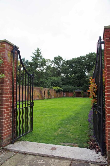
There are several well-maintained walking trails that wind their way through Nash's Copse, allowing visitors to explore the woodland at their leisure. These paths offer stunning views of the surrounding countryside and provide opportunities for peaceful contemplation and relaxation. The copse is a popular destination for families, dog walkers, and those seeking an escape from the hustle and bustle of everyday life.

Overall, Nash's Copse in Berkshire is a natural gem, offering visitors the chance to immerse themselves in the beauty of the English countryside.

If you have any feedback on the listing, please let us know in the comments section below.
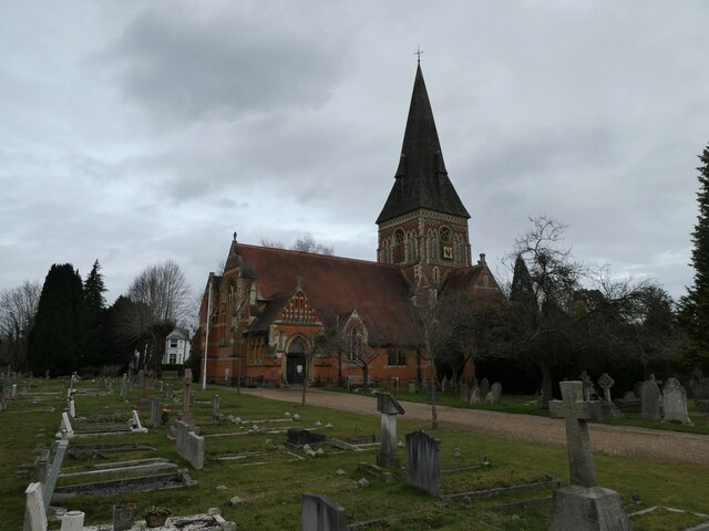
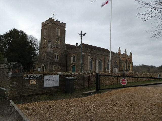
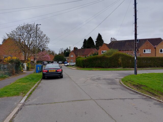
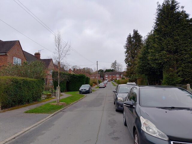
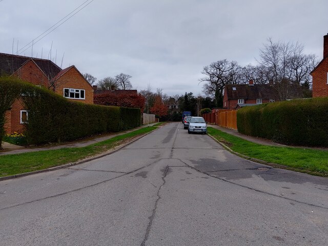
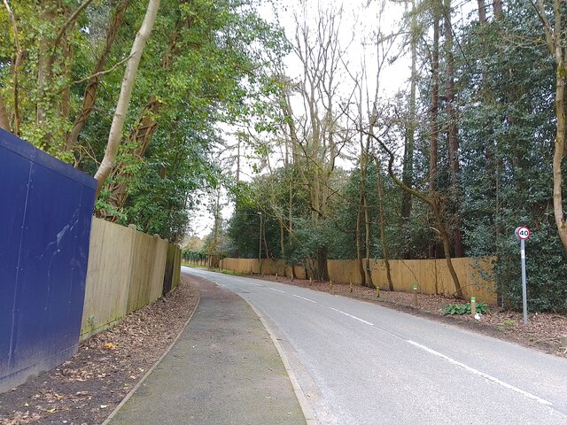
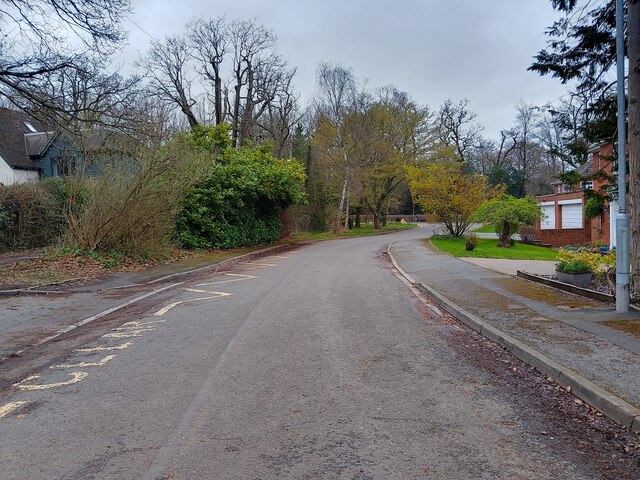
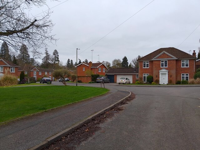
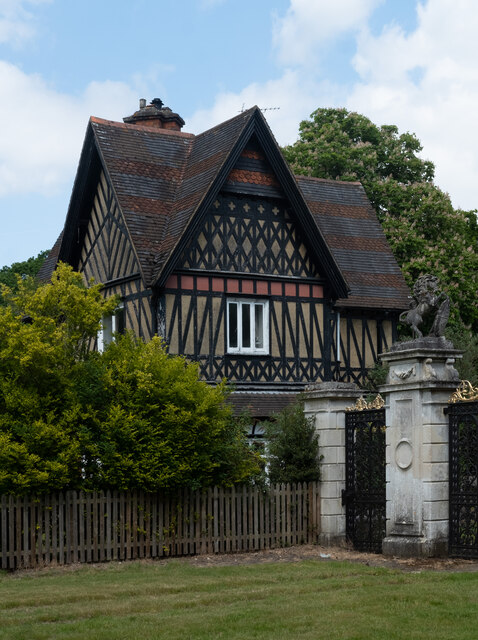
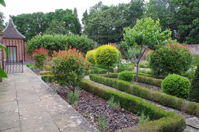
Nash's Copse Images

Images are sourced within 2km of 51.414421/-0.64482352 or Grid Reference SU9469. Thanks to Geograph Open Source API. All images are credited.

The Forge 86a Upper Village Road Sunninghill The house was built 25 years ago following demolition of the original factory (The Forge). The climber on the right is Solanum jasminoides 'Album', still flowering profusely in October.
The Forge 86a Upper Village Road Sunninghill
The house was built 25 years ago following demolition of the original factory (The Forge). The climber on the right is Solanum jasminoides 'Album', still flowering profusely in October.
Looking west-southwest along Church Road
Looking south-southwest along Church Lane
Holy Trinity, Sunningdale: churchyard
Holy Trinity, Sunningdale: early February 2022
St Michael & All Angels, Sunninghill: early February 2022
site of the former Sunninghill Gasometer After lying derelict for many years, the gasometer was eventually demolished, then the site lay as waste ground for a decade, during which period it developed a very diverse flora.  All that is gone now, as the long-delayed housing development is underway.
site of the former Sunninghill Gasometer
After lying derelict for many years, the gasometer was eventually demolished, then the site lay as waste ground for a decade, during which period it developed a very diverse flora. All that is gone now, as the long-delayed housing development is underway.
Stag-headed Quercus robur in Church Field Silwood Park As the tree ages,  there comes a point when the canopy starts to contract each year  leaving the resilient but now dead limbs behind.
Stag-headed Quercus robur in Church Field Silwood Park
As the tree ages, there comes a point when the canopy starts to contract each year leaving the resilient but now dead limbs behind.
Park Crescent A road that goes in a loop, serving cul-de-sacs on a housing estate, off Rise Road.
Park Crescent
A road that goes in a loop, serving cul-de-sacs on a housing estate, off Rise Road.
Park Crescent A road that goes in a loop, serving cul-de-sacs on a housing estate, off Rise Road.
Park Crescent
A road that goes in a loop, serving cul-de-sacs on a housing estate, off Rise Road.
Park Crescent A road that goes in a loop, serving cul-de-sacs on a housing estate, off Rise Road.
Park Crescent
A road that goes in a loop, serving cul-de-sacs on a housing estate, off Rise Road.
Larch Avenue A road between Silwood Road (the B383) and Rise Road.
Larch Avenue
A road between Silwood Road (the B383) and Rise Road.
Dorian Drive A road leading to Green Lane off Watersplash Lane. To the left are road markings for Cheapside C of E Primary School.
Dorian Drive
A road leading to Green Lane off Watersplash Lane. To the left are road markings for Cheapside C of E Primary School.
Dorian Drive A road leading to Green Lane off Watersplash Lane. The houses are all in a typical Ascot style, but not particularly large.
Dorian Drive
A road leading to Green Lane off Watersplash Lane. The houses are all in a typical Ascot style, but not particularly large.
Ascot : Old Golden Gates Lodge At the former entrance to Ascot race-course. Grade II listed lodge - <span class="nowrap"><a title="https://historicengland.org.uk/listing/the-list/list-entry/1119816?section=official-list-entry" rel="nofollow ugc noopener" href="https://historicengland.org.uk/listing/the-list/list-entry/1119816?section=official-list-entry">Link</a><img style="margin-left:2px;" alt="External link" title="External link - shift click to open in new window" src="https://s1.geograph.org.uk/img/external.png" width="10" height="10"/></span>
Ascot : Old Golden Gates Lodge
At the former entrance to Ascot race-course. Grade II listed lodge - LinkExternal link
Royal Berkshire Hotel Once owned by the Spencer Family (Winston Spencer Churchill) the building was later  used as a School for the blind and since the early 1970's has been a hotel. An ideal billet for the  Ascot races or Sunningdale Golf.
Royal Berkshire Hotel
Once owned by the Spencer Family (Winston Spencer Churchill) the building was later used as a School for the blind and since the early 1970's has been a hotel. An ideal billet for the Ascot races or Sunningdale Golf.
Walled Garden for The Oaks The Oaks was the name of Charles Churchill's 1705 mansion. Now the <a href="https://www.geograph.org.uk/photo/7542840">SU9468 : Royal Berkshire Hotel</a>
Walled Garden for The Oaks
The Oaks was the name of Charles Churchill's 1705 mansion. Now the SU9468 : Royal Berkshire Hotel
Gates to a Walled Garden These days more a walled lawn than a garden. You can see a recreation of what  the eighteenth century gardens may have looked like at <a href="https://www.geograph.org.uk/photo/7542843">SU9468 : Walled Garden for The Oaks</a>
Gates to a Walled Garden
These days more a walled lawn than a garden. You can see a recreation of what the eighteenth century gardens may have looked like at SU9468 : Walled Garden for The Oaks
Show me another place!

Nash's Copse is located at Grid Ref: SU9469 (Lat: 51.414421, Lng: -0.64482352)

Unitary Authority: Windsor and Maidenhead

Police Authority: Thames Valley

What 3 Words

///windy.soil.served. Near Ascot, Berkshire

Related Wikis

Cheapside, Berkshire

Cheapside describes a close triangle of roads in the civil parish of Sunninghill and Ascot and ecclesiastical parish of Sunninghill in the Royal Borough...

Sunninghill and Ascot

Sunninghill and Ascot is a civil parish in the Royal Borough of Windsor and Maidenhead and takes up most of the south-east corner of the English county...

IPARC

The International Pesticide Application Research Consortium (IPARC), previously the International Pesticide Application Research Centre and before that...

The Cedars, Sunninghill

The Cedars is a large detached house in Sunninghill, Berkshire. It is two storeys in height, painted white render and has a hipped slate roof. The house...

Nearby Amenities

Located within 500m of 51.414421,-0.64482352
Bus Stop
Hilltop Close
Naptan AtcoCode: 036006001308
Naptan Bearing: W
Naptan CommonName: Hilltop Close
Naptan Indicator: adj
Naptan Landmark: Hilltop Close
Naptan NaptanCode: winapdt
Naptan Street: Cheapside Road
Naptan Verified: no
Public Transport: platform
Shelter: yes
Source: naptan_import
Lat/Long: 51.41665/-0.64822
Bus Stop
Hilltop Close
Naptan AtcoCode: 036006635635
Naptan Bearing: E
Naptan CommonName: Hilltop Close
Naptan Indicator: opp
Naptan Landmark: Hilltop Close
Naptan NaptanCode: windtjt
Naptan Street: Cheapside Road
Naptan Verified: no
Public Transport: platform
Source: naptan_import
Lat/Long: 51.41688/-0.6471059
Bus Stop
Heronsbrook
Naptan AtcoCode: 036006636636
Naptan Bearing: N
Naptan CommonName: Heronsbrook
Naptan Indicator: adj
Naptan Landmark: Cheapside Road
Naptan NaptanCode: windtjw
Naptan Street: Buckhurst Road
Naptan Verified: no
Public Transport: platform
Source: naptan_import
Lat/Long: 51.4157399/-0.6418329
Bus Stop
Heronsbrook
Bench: no
Bin: no
Flag: yes
Naptan AtcoCode: 036006636637
Naptan Bearing: SE
Naptan CommonName: Heronsbrook
Naptan Indicator: opp
Naptan Landmark: Mill Lane
Naptan NaptanCode: windtma
Naptan Street: Buckhurst Road
Naptan Verified: no
Public Transport: platform
Shelter: no
Source: naptan_import
Tactile Paving: no
Lat/Long: 51.414847/-0.640824
Barrier: kissing_gate
Lat/Long: 51.4147244/-0.6409084
Pub
The Thatched Tavern
Addr Housename: The Thatched Tavern
Addr Postcode: SL5 7QG
Addr Street: Cheapside
Brewery: various
Outdoor Seating: yes
Source: Local knowledge
Wikidata: Q26413110
Lat/Long: 51.4169016/-0.6436782
Cheapside
Place: village
Source: OS_OpenData_StreetView
Wikidata: Q5088897
Lat/Long: 51.4180412/-0.6446199
Silwood Park
Place: locality
Wikidata: Q7517190
Wikipedia: en:Silwood Park
Lat/Long: 51.4115058/-0.6418382
Gunnes's Bridge
Place: locality
Lat/Long: 51.4114728/-0.6466179
Heronsbrook
Place: locality
Lat/Long: 51.415088/-0.6429904
Virginia Water Lodge
Place: isolated_dwelling
Lat/Long: 51.4138979/-0.6403007
Turning Circle
Lat/Long: 51.4148053/-0.6417267
Direction: 260
Generator Method: photovoltaic
Generator Output Electricity: yes
Generator Solar Modules: 8
Generator Source: solar
Generator Type: solar_photovoltaic_panel
Location: roof
Power: generator
Lat/Long: 51.4164331/-0.6473789
Direction: 80
Generator Method: photovoltaic
Generator Output Electricity: yes
Generator Solar Modules: 8
Generator Source: solar
Generator Type: solar_photovoltaic_panel
Location: roof
Power: generator
Lat/Long: 51.416437/-0.6473417
Direction: 170
Fixme: survey for panel count
Generator Method: photovoltaic
Generator Output Electricity: yes
Generator Solar Modules: 12
Generator Source: solar
Generator Type: solar_photovoltaic_panel
Location: roof
Power: generator
Lat/Long: 51.4164514/-0.6472614
Direction: 170
Fixme: survey for panel count
Generator Method: photovoltaic
Generator Output Electricity: yes
Generator Solar Modules: 12
Generator Source: solar
Generator Type: solar_photovoltaic_panel
Location: roof
Power: generator
Lat/Long: 51.4165219/-0.6463415
Direction: 170
Generator Method: photovoltaic
Generator Output Electricity: yes
Generator Solar Modules: 10
Generator Source: solar
Generator Type: solar_photovoltaic_panel
Location: roof
Power: generator
Lat/Long: 51.4162842/-0.6457014
Direction: 150
Fixme: survey for panel count
Generator Method: photovoltaic
Generator Output Electricity: yes
Generator Solar Modules: 40
Generator Source: solar
Generator Type: solar_photovoltaic_panel
Location: roof
Power: generator
Tilt: 10
Lat/Long: 51.4181596/-0.6455629
Direction: 150
Fixme: survey for panel count
Generator Method: photovoltaic
Generator Output Electricity: yes
Generator Solar Modules: 7
Generator Source: solar
Generator Type: solar_photovoltaic_panel
Location: roof
Power: generator
Lat/Long: 51.4177757/-0.643274
Direction: 240
Fixme: survey for panel count
Generator Method: photovoltaic
Generator Output Electricity: yes
Generator Solar Modules: 7
Generator Source: solar
Generator Type: solar_photovoltaic_panel
Location: roof
Power: generator
Lat/Long: 51.4177913/-0.6433427
Direction: 240
Fixme: survey for panel count
Generator Method: photovoltaic
Generator Output Electricity: yes
Generator Solar Modules: 12
Generator Source: solar
Generator Type: solar_photovoltaic_panel
Location: ground
Power: generator
Lat/Long: 51.4181416/-0.6429739
Direction: 150
Fixme: survey for panel count
Generator Method: photovoltaic
Generator Output Electricity: yes
Generator Solar Modules: 13
Generator Source: solar
Generator Type: solar_photovoltaic_panel
Location: roof
Power: generator
Lat/Long: 51.4185503/-0.6462786
Colour: red and white
Marker: aerial
Material: plastic
Utility: gas
Lat/Long: 51.4134752/-0.63942
Colour: yellow
Marker: post
Material: concrete
Utility: gas
Lat/Long: 51.4135065/-0.639315
The data included in this document is from www.openstreetmap.org. The data is made available under ODbL.

Have you been to Nash's Copse?

Leave your review of Nash's Copse below (or comments, questions and feedback).