Cuttmill Pond
Lake, Pool, Pond, Freshwater Marsh in Surrey Guildford
England
Cuttmill Pond
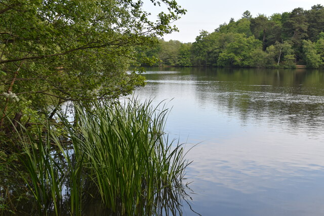
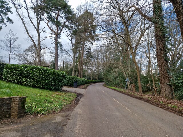
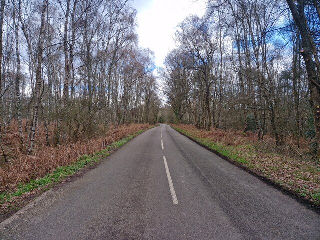
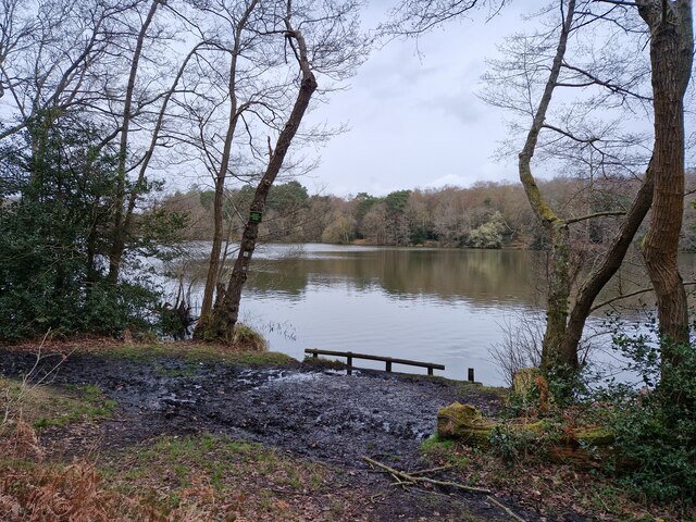
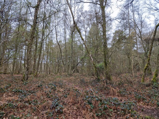
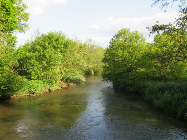
Cuttmill Pond is a picturesque freshwater pond located in Surrey, England. Spanning an area of approximately 2.5 hectares, it is often described as a hidden gem nestled amidst the stunning countryside. The pond, with its tranquil and idyllic setting, offers a peaceful retreat for visitors seeking a break from the hustle and bustle of city life.
Surrounded by lush greenery and bordered by gentle slopes, Cuttmill Pond boasts crystal-clear waters that reflect the beauty of its surroundings. The pond is home to a diverse range of aquatic plant life, including lilies and reeds, which provide a vibrant splash of color to the landscape. It also serves as a habitat for various species of freshwater fish, such as carp and roach, making it a popular spot for anglers.
The surrounding area of Cuttmill Pond is a haven for wildlife enthusiasts and birdwatchers alike. It is common to spot an array of bird species, including swans, ducks, and herons, gracefully gliding across the water or nesting along the pond's banks. The peaceful ambiance of the pond also attracts other wildlife, such as dragonflies and butterflies, adding to its natural charm.
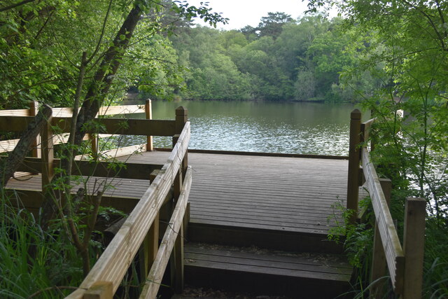
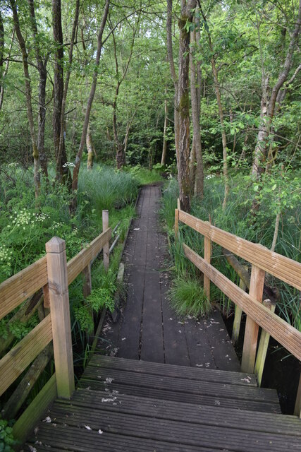
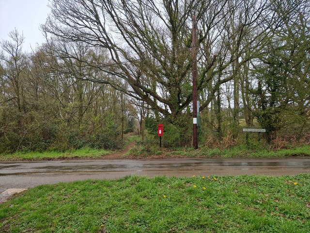
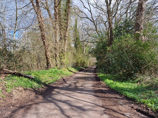
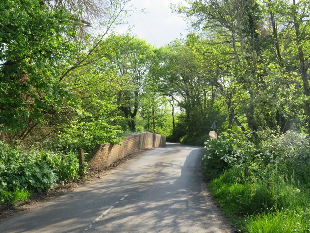
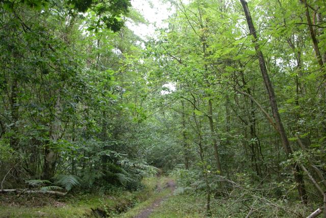
Visitors to Cuttmill Pond can enjoy a leisurely stroll along its well-maintained footpaths, taking in the breathtaking views and observing the abundant flora and fauna. The pond's accessibility and family-friendly atmosphere make it an ideal destination for picnics, nature walks, and even boating activities.
Overall, Cuttmill Pond is a hidden oasis that offers a serene escape for nature lovers and outdoor enthusiasts. Its natural beauty, diverse ecosystem, and peaceful atmosphere make it a must-visit destination in Surrey.
If you have any feedback on the listing, please let us know in the comments section below.
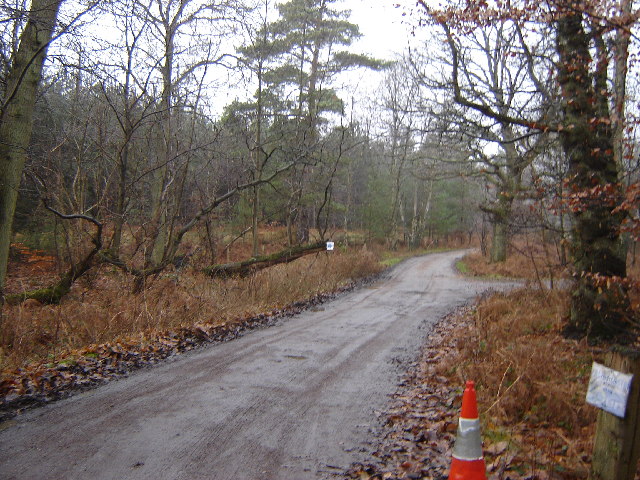
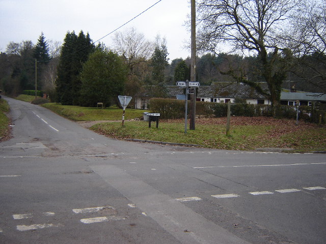
Cuttmill Pond Images
Images are sourced within 2km of 51.20184/-0.69515677 or Grid Reference SU9145. Thanks to Geograph Open Source API. All images are credited.

Cuttmill Pond is located at Grid Ref: SU9145 (Lat: 51.20184, Lng: -0.69515677)
Administrative County: Surrey
District: Guildford
Police Authority: Surrey
What 3 Words
///rewriting.lanes.peach. Near Elstead, Surrey
Nearby Locations
Related Wikis

Puttenham and Crooksbury Commons
Puttenham and Crooksbury Commons is a 113.8-hectare (281-acre) biological Site of Special Scientific Interest between Farnham and Guildford in Surrey....

Elstead
Elstead is a civil parish in Surrey, England with shops, houses and cottages spanning the north and south sides of the River Wey; development is concentrated...

Peper Harow
Peper Harow is a rural village and civil parish in southwest Surrey close to the town of Godalming. It was a noted early cricket venue. Its easternmost...

Thundry Meadows
Thundry Meadows is a 16-hectare (40-acre) nature reserve in Elstead in Surrey. It is managed by the Surrey Wildlife Trust. Part of it is Charleshill Site...

Charleshill SSSI
Charleshill SSSI is a 10.1-hectare (25-acre) biological Site of Special Scientific Interest west of Elstead in Surrey. It is part of Thundry Meadows nature...
Seale and Sands
Seale and Sands is a civil parish in the Guildford District Council area of Surrey, England with a population of 887. The principal settlement is Seale...

Seale Chalk Pit
Seale Chalk Pit is a 1.2-hectare (3.0-acre) geological Site of Special Scientific Interest west of Guildford in Surrey. It is a Geological Conservation...

Shackleford
Shackleford is a village and civil parish in the Borough of Guildford, Surrey, England centred to the west of the A3 between Guildford and Petersfield...
Nearby Amenities
Located within 500m of 51.20184,-0.69515677Have you been to Cuttmill Pond?
Leave your review of Cuttmill Pond below (or comments, questions and feedback).