Slade Pond

Lake, Pool, Pond, Freshwater Marsh in Berkshire

England

Slade Pond

Houses on Chavey Down Road, Winkfield Row
Houses on Chavey Down Road, Winkfield Row Credit: JThomas

Slade Pond is a picturesque freshwater body located in Berkshire, England. Nestled amongst the rolling hills and lush greenery, it offers a tranquil escape for both locals and visitors alike. With a surface area of approximately 2 hectares, Slade Pond is a relatively small body of water, but its natural beauty is undeniable.

Surrounded by a diverse range of flora and fauna, the pond serves as a haven for various species of birds, aquatic plants, and small mammals. Its crystal-clear waters are home to a variety of fish, including perch, roach, and carp, making it a popular spot for fishing enthusiasts.

The pond is bordered by a dense canopy of trees, offering shade and a sense of seclusion. A well-maintained walking trail along the perimeter provides visitors with the opportunity to fully immerse themselves in the surrounding natural beauty. The trail is also suitable for jogging or cycling, making it a popular destination for outdoor enthusiasts.

In addition to its natural charm, Slade Pond also boasts a small sandy beach area, perfect for sunbathing or picnicking. The calm waters and gentle slopes make it a safe and enjoyable spot for families and children to swim.

Slade Pond is a valuable ecosystem, serving as a freshwater marsh and playing a crucial role in maintaining the local biodiversity. It provides a habitat for various species of plants, insects, and amphibians, contributing to the overall ecological balance of the region.

Overall, Slade Pond is a hidden gem in Berkshire, offering a peaceful retreat from the bustling city life. Its stunning natural surroundings and recreational opportunities make it a must-visit destination for nature lovers and outdoor enthusiasts.

If you have any feedback on the listing, please let us know in the comments section below.
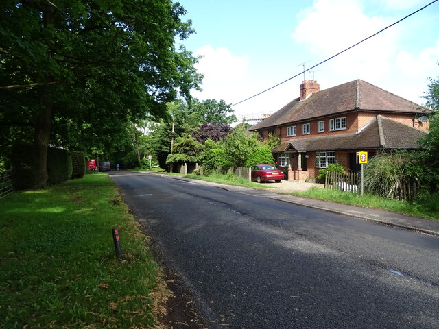
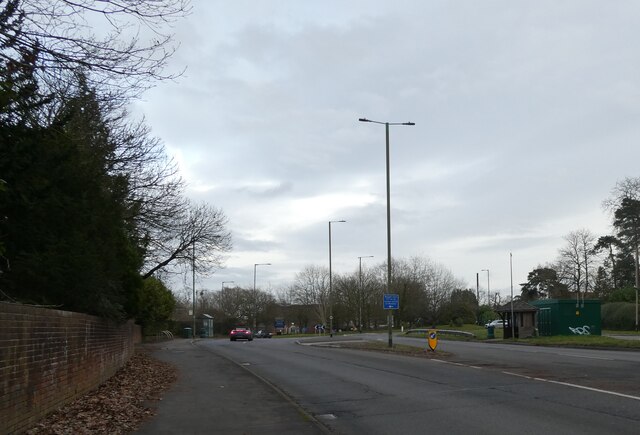
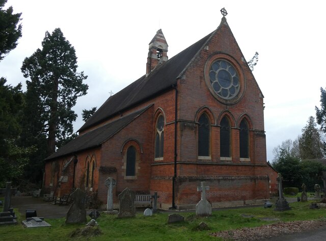
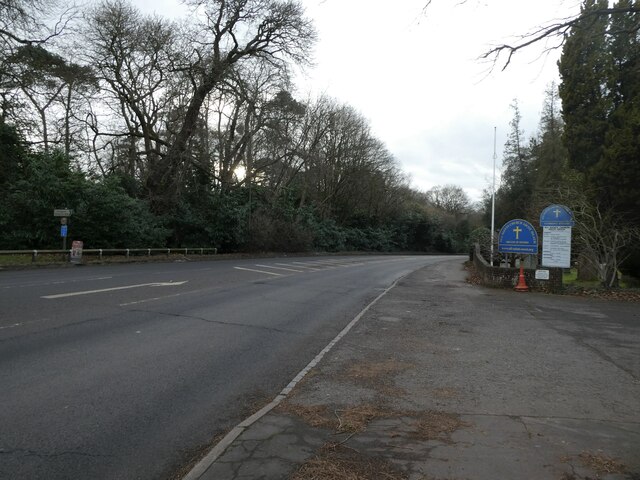
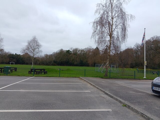
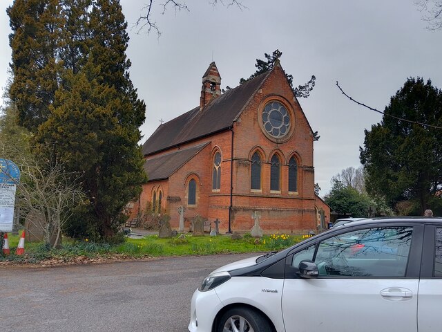
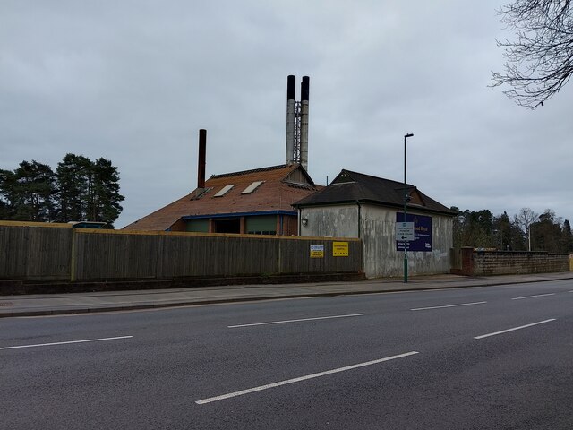
Slade Pond Images

Images are sourced within 2km of 51.424284/-0.69943248 or Grid Reference SU9070. Thanks to Geograph Open Source API. All images are credited.

Houses on Chavey Down Road, Winkfield Row
Chavey Down Road (B3017), Winkfield Row
Entering Hayley Green On the B3034.
Entering Hayley Green
On the B3034.
House on Forest Road, Hayley Green
Cottages on Forest Road
Forest Road (B3034), Hayley Green
Looking eastwards along the A329 (taken from outside All Saints, Ascot Heath)
Looking eastwards along the A329
(taken from outside All Saints, Ascot Heath)
All Saints, Ascot Heath: early February 2022
Looking westwards on the A329 (taken outside All Saints, Ascot Heath)
Looking westwards on the A329
(taken outside All Saints, Ascot Heath)
Ascot Jubilee Recreation Ground A park with playing fields and a playground between North Ascot and Chavey Down. The car park is very large for the size of the park.
Ascot Jubilee Recreation Ground
A park with playing fields and a playground between North Ascot and Chavey Down. The car park is very large for the size of the park.
All Saints' Church A church in North Ascot, off the A329 (London Road). It was built in 1864 with red brick and Bath stone dressings. This photograph was taken on a Sunday, which is why the car park has some cars in it.

The church is a Grade II listed building, list entry number 1109923 <span class="nowrap"><a title="https://historicengland.org.uk/listing/the-list/list-entry/1109923" rel="nofollow ugc noopener" href="https://historicengland.org.uk/listing/the-list/list-entry/1109923">Link</a><img style="margin-left:2px;" alt="External link" title="External link - shift click to open in new window" src="https://s1.geograph.org.uk/img/external.png" width="10" height="10"/></span>
All Saints' Church
A church in North Ascot, off the A329 (London Road). It was built in 1864 with red brick and Bath stone dressings. This photograph was taken on a Sunday, which is why the car park has some cars in it. The church is a Grade II listed building, list entry number 1109923 LinkExternal link
Building 46 at old Heatherwood Hospital Simply known as "Building 46" - this number being taken from Heatherwood Hospital's plans of the site - this building with large chimneys, unique tiled roof with half height gables and brick walls with decorative internal structural steel and render on another section will soon be demolished.

The detail given within the planning application of the building is as follows: "Building 46 is a single storey brick-built structure with a profile metal roof
and gable cladding. Overall the building is in good condition with one large
gap located at the northwest corner of the building. Internally the building is
split into both a workshop area and office space. A loft space is located via
a stairway and is in good condition showing no sign of damage."

It has acted as a landmark to the area since the 1920s in its prominent position beside the A332 (King's Ride). All of the 1920s buildings of old Heatherwood Hospital are set to be demolished, or already have been. In 2018, full planning permission was given to demolish the existing hospital and construct a new building to serve as the hospital. In 2022, planning permission was given for the construction of 230 homes on the site in the form of 2, 3 and 4 bed houses and 1, 2 and 3 bed flats.
Building 46 at old Heatherwood Hospital
Simply known as "Building 46" - this number being taken from Heatherwood Hospital's plans of the site - this building with large chimneys, unique tiled roof with half height gables and brick walls with decorative internal structural steel and render on another section will soon be demolished. The detail given within the planning application of the building is as follows: "Building 46 is a single storey brick-built structure with a profile metal roof and gable cladding. Overall the building is in good condition with one large gap located at the northwest corner of the building. Internally the building is split into both a workshop area and office space. A loft space is located via a stairway and is in good condition showing no sign of damage." It has acted as a landmark to the area since the 1920s in its prominent position beside the A332 (King's Ride). All of the 1920s buildings of old Heatherwood Hospital are set to be demolished, or already have been. In 2018, full planning permission was given to demolish the existing hospital and construct a new building to serve as the hospital. In 2022, planning permission was given for the construction of 230 homes on the site in the form of 2, 3 and 4 bed houses and 1, 2 and 3 bed flats.
Building 6 at old Heatherwood Hospital Simply known as "Building 6" - this number being taken from Heatherwood Hospital's plans of the site - this building a tiled roof and brick walls will soon be demolished.

The detail given within the planning application of the building is as follows: "Building 6 is an active boiler house. The brick-built building is of a single
storey design with a small two storey element. The single-storey section has
a pitched clay tile roof and the two-storey section possesses a flat roof.
There is no loft space present internally with the indoor space open to the
ceiling. The ceiling is constructed with wooden boards and metal beams
and contains a number of large holes in the roofing tiles."

All of the 1920s buildings of old Heatherwood Hospital are set to be demolished, or already have been. In 2018, full planning permission was given to demolish the existing hospital and construct a new building to serve as the hospital. In 2022, planning permission was given for the construction of 230 homes on the site in the form of 2, 3 and 4 bed houses and 1, 2 and 3 bed flats.
Building 6 at old Heatherwood Hospital
Simply known as "Building 6" - this number being taken from Heatherwood Hospital's plans of the site - this building a tiled roof and brick walls will soon be demolished. The detail given within the planning application of the building is as follows: "Building 6 is an active boiler house. The brick-built building is of a single storey design with a small two storey element. The single-storey section has a pitched clay tile roof and the two-storey section possesses a flat roof. There is no loft space present internally with the indoor space open to the ceiling. The ceiling is constructed with wooden boards and metal beams and contains a number of large holes in the roofing tiles." All of the 1920s buildings of old Heatherwood Hospital are set to be demolished, or already have been. In 2018, full planning permission was given to demolish the existing hospital and construct a new building to serve as the hospital. In 2022, planning permission was given for the construction of 230 homes on the site in the form of 2, 3 and 4 bed houses and 1, 2 and 3 bed flats.
Building 46 at old Heatherwood Hospital Simply known as "Building 46" - this number being taken from Heatherwood Hospital's plans of the site - this building with large chimneys, unique tiled roof with half height gables and brick walls with decorative internal structural steel and render on another section will soon be demolished.

The detail given within the planning application of the building is as follows: "Building 46 is a single storey brick-built structure with a profile metal roof
and gable cladding. Overall the building is in good condition with one large
gap located at the northwest corner of the building. Internally the building is
split into both a workshop area and office space. A loft space is located via
a stairway and is in good condition showing no sign of damage."

It has acted as a landmark to the area since the 1920s in its prominent position beside the A332 (King's Ride). All of the 1920s buildings of old Heatherwood Hospital are set to be demolished, or already have been. In 2018, full planning permission was given to demolish the existing hospital and construct a new building to serve as the hospital. In 2022, planning permission was given for the construction of 230 homes on the site in the form of 2, 3 and 4 bed houses and 1, 2 and 3 bed flats.
Building 46 at old Heatherwood Hospital
Simply known as "Building 46" - this number being taken from Heatherwood Hospital's plans of the site - this building with large chimneys, unique tiled roof with half height gables and brick walls with decorative internal structural steel and render on another section will soon be demolished. The detail given within the planning application of the building is as follows: "Building 46 is a single storey brick-built structure with a profile metal roof and gable cladding. Overall the building is in good condition with one large gap located at the northwest corner of the building. Internally the building is split into both a workshop area and office space. A loft space is located via a stairway and is in good condition showing no sign of damage." It has acted as a landmark to the area since the 1920s in its prominent position beside the A332 (King's Ride). All of the 1920s buildings of old Heatherwood Hospital are set to be demolished, or already have been. In 2018, full planning permission was given to demolish the existing hospital and construct a new building to serve as the hospital. In 2022, planning permission was given for the construction of 230 homes on the site in the form of 2, 3 and 4 bed houses and 1, 2 and 3 bed flats.
Construction at Heatherwood Hospital Construction starting at the site of the old Heatherwood Hospital.
Construction at Heatherwood Hospital
Construction starting at the site of the old Heatherwood Hospital.
Roundabout on King's Ride (A332) A roundabout on King's Ride (the A332) near the development on the site of the old Heatherwood Hospital.
Roundabout on King's Ride (A332)
A roundabout on King's Ride (the A332) near the development on the site of the old Heatherwood Hospital.
Show me another place!

Slade Pond is located at Grid Ref: SU9070 (Lat: 51.424284, Lng: -0.69943248)

Unitary Authority: Bracknell Forest

Police Authority: Thames Valley

What 3 Words

///music.lively.direct. Near Ascot, Berkshire

Related Wikis

Burleigh, Berkshire

Burleigh is a village in Berkshire, England, within the civil parish of Winkfield. It lies east of the A332 road and about 1 mile (1.6 km) west of Ascot...

Ascot Priory

Ascot Priory is a former priory in Berkshire, England, established in 1861. It was the mother house of the Society of the Most Holy Trinity, a community...

Chavey Down

Chavey Down is a hamlet partly in Ascot, Berkshire, England, and part of the civil parish of Winkfield. The settlement lies near to the A329 road, and...

Winkfield

Winkfield is a village and civil parish in the Bracknell Forest unitary authority of Berkshire, England. == Geography == According to the 2011 census,...

North Ascot

North Ascot is an area of Bracknell Forest in the county of Berkshire in England, with a few acres straddling the town of Ascot in the Royal Borough of...

Brookside, Berkshire

Brookside is a village in the civil parish of Winkfield in the county of Berkshire, England.The settlement lies east of the A332 road and is approximately...

Heatherdown School

Heatherdown School, formally called Heatherdown Preparatory School, was an independent preparatory school for boys, near Ascot, in the English county of...

LVS Ascot

LVS Ascot is a private, co-educational, day and boarding school for pupils aged 4 to 18, situated near Ascot in the English county of Berkshire. It is...

Nearby Amenities

Located within 500m of 51.424284,-0.69943248
Noexit: yes
Lat/Long: 51.4259366/-0.6930328
Mill Ride Estate
Place: locality
Lat/Long: 51.4221154/-0.6983469
The Dell
Place: locality
Lat/Long: 51.423092/-0.6971391
Winkfield Manor
Place: isolated_dwelling
Lat/Long: 51.4262743/-0.6938141
Golf: pin
Lat/Long: 51.4247339/-0.6959468
Golf: pin
Lat/Long: 51.426039/-0.6984066
Golf: pin
Lat/Long: 51.4259487/-0.7001561
Golf: pin
Lat/Long: 51.4240951/-0.7029458
Golf: pin
Lat/Long: 51.4264277/-0.7015047
Golf: pin
Lat/Long: 51.4246103/-0.7012099
Golf: pin
Lat/Long: 51.4210934/-0.7020983
Golf: pin
Lat/Long: 51.4250918/-0.6998322
Golf: pin
Lat/Long: 51.4239683/-0.6991965
Golf: pin
Lat/Long: 51.4209786/-0.7004891
Golf: pin
Lat/Long: 51.4233765/-0.6979246
Golf: pin
Lat/Long: 51.4213069/-0.6957099
Golf: pin
Lat/Long: 51.4227473/-0.6951606
Golf: pin
Lat/Long: 51.4241242/-0.697804
Direction: 190
Generator Method: photovoltaic
Generator Output Electricity: yes
Generator Solar Modules: 5
Generator Source: solar
Generator Type: solar_photovoltaic_panel
Location: roof
Power: generator
Lat/Long: 51.420126/-0.7014502
Direction: 190
Generator Method: photovoltaic
Generator Output Electricity: yes
Generator Solar Modules: 9
Generator Source: solar
Generator Type: solar_photovoltaic_panel
Location: roof
Power: generator
Lat/Long: 51.4201408/-0.7015509
Direction: 190
Generator Method: photovoltaic
Generator Output Electricity: yes
Generator Solar Modules: 16
Generator Source: solar
Generator Type: solar_photovoltaic_panel
Location: roof
Power: generator
Lat/Long: 51.420126/-0.7018595
Direction: 120
Generator Method: photovoltaic
Generator Output Electricity: yes
Generator Solar Modules: 2
Generator Source: solar
Generator Type: solar_photovoltaic_panel
Location: roof
Power: generator
Lat/Long: 51.4262093/-0.703751
Direction: 120
Generator Method: photovoltaic
Generator Output Electricity: yes
Generator Solar Modules: 2
Generator Source: solar
Generator Type: solar_photovoltaic_panel
Location: roof
Power: generator
Lat/Long: 51.4261424/-0.703354
Direction: 120
Generator Method: photovoltaic
Generator Output Electricity: yes
Generator Solar Modules: 2
Generator Source: solar
Generator Type: solar_photovoltaic_panel
Location: roof
Power: generator
Lat/Long: 51.4262583/-0.7032445
Direction: 120
Generator Method: photovoltaic
Generator Output Electricity: yes
Generator Solar Modules: 2
Generator Source: solar
Generator Type: solar_photovoltaic_panel
Location: roof
Power: generator
Lat/Long: 51.4264069/-0.7032853
Direction: 120
Generator Method: photovoltaic
Generator Output Electricity: yes
Generator Solar Modules: 2
Generator Source: solar
Generator Type: solar_photovoltaic_panel
Location: roof
Power: generator
Lat/Long: 51.4263446/-0.70363
Direction: 120
Generator Method: photovoltaic
Generator Output Electricity: yes
Generator Solar Modules: 2
Generator Source: solar
Generator Type: solar_photovoltaic_panel
Location: roof
Power: generator
Lat/Long: 51.4264919/-0.7031414
The data included in this document is from www.openstreetmap.org. The data is made available under ODbL.

Have you been to Slade Pond?

Leave your review of Slade Pond below (or comments, questions and feedback).