Upper Lake
Lake, Pool, Pond, Freshwater Marsh in Surrey Surrey Heath
England
Upper Lake
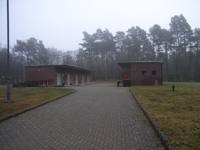
Upper Lake is a serene and picturesque freshwater body located in Surrey, England. Spanning over a vast area, it offers a tranquil oasis for nature lovers and outdoor enthusiasts alike. The lake is surrounded by lush greenery, creating a peaceful and serene ambiance.
With its crystal-clear waters, Upper Lake serves as a popular spot for various recreational activities. It provides an ideal setting for swimming, boating, and fishing. The lake is teeming with a diverse range of fish species, making it a haven for anglers seeking a rewarding fishing experience.
Adjacent to the lake, there is a well-maintained pool that caters to those seeking a refreshing swim. The pool is equipped with modern facilities and is perfect for both leisurely dips and serious swimmers looking to get in a few laps. Lifeguards are present to ensure the safety of visitors.
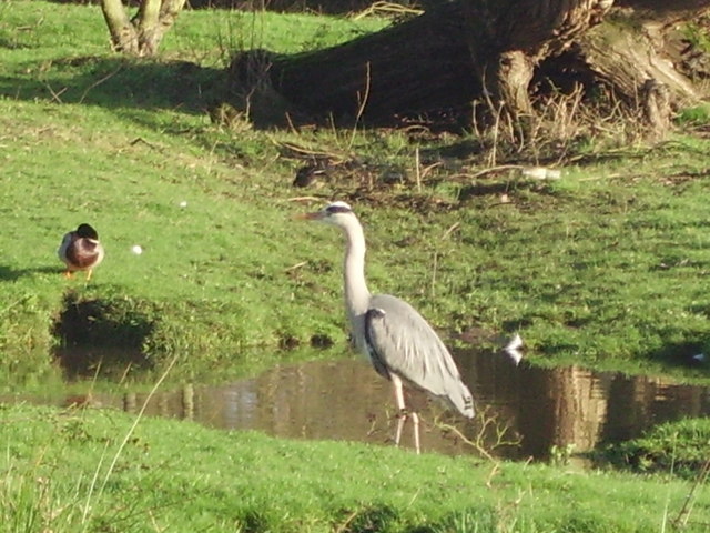
Surrounding the lake and pool, there is a serene pond that adds to the natural beauty of the area. The pond is home to a variety of aquatic plants and wildlife, making it a haven for birdwatchers and nature enthusiasts. Visitors can often spot ducks, swans, and other waterfowl gracefully gliding across the pond's calm surface.
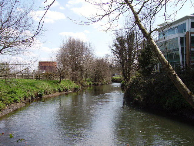
Additionally, Upper Lake is surrounded by a freshwater marsh, which serves as a vital ecosystem for many plant and animal species. The marsh offers a unique opportunity for visitors to observe and appreciate the diverse flora and fauna that thrive in this wetland habitat.
Overall, Upper Lake in Surrey provides a stunning natural setting and offers a range of recreational activities for visitors to enjoy. Whether it's swimming, fishing, birdwatching, or simply taking in the peaceful surroundings, Upper Lake is a must-visit destination for nature lovers.
If you have any feedback on the listing, please let us know in the comments section below.
Upper Lake Images
Images are sourced within 2km of 51.339481/-0.75515386 or Grid Reference SU8660. Thanks to Geograph Open Source API. All images are credited.


Upper Lake is located at Grid Ref: SU8660 (Lat: 51.339481, Lng: -0.75515386)
Administrative County: Surrey
District: Surrey Heath
Police Authority: Surrey
What 3 Words
///beauty.families.conspired. Near Camberley, Surrey
Nearby Locations
Related Wikis

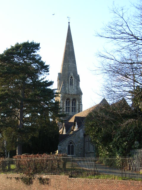
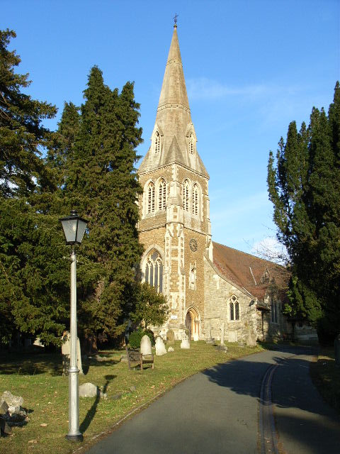
St Tarcisius Church, Camberley
St Tarcisius Church is a Roman Catholic Parish church in Camberley, Surrey. It was built between 1923 and 1924 and was designed by Frederick Walters. It...
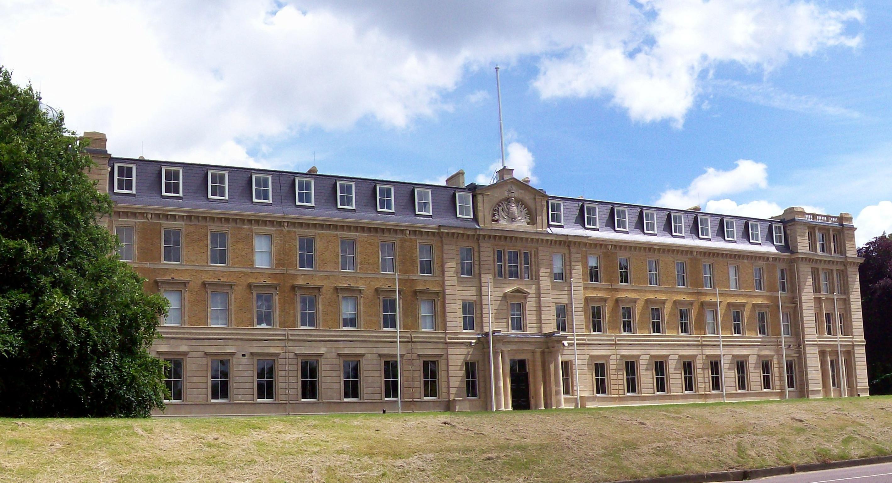
Staff College, Camberley
Staff College, Camberley, Surrey, was a staff college for the British Army and the presidency armies of British India (later merged to form the Indian...

Camberley railway station
Camberley railway station is in the town of Camberley in Surrey, England. It is on the Ascot to Guildford line, 35 miles 30 chains (56.9 km) from London...

Surrey Heath
Surrey Heath is a local government district with borough status in Surrey, England. Its council is based in Camberley. Much of the area is within the Metropolitan...

Royal Military Academy Ground
Royal Military Academy Ground is a cricket ground in Sandhurst, Berkshire near Camberley, Surrey. The ground itself is located within the grounds of the...
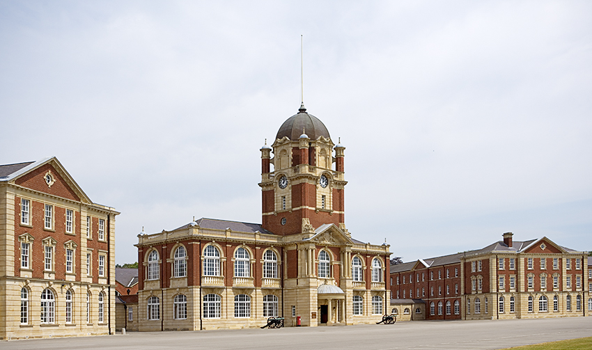
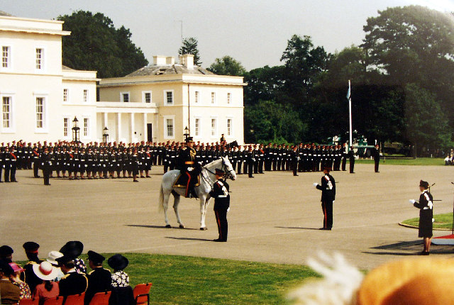
Royal Military Academy Sandhurst
The Royal Military Academy Sandhurst (RMAS or RMA Sandhurst), commonly known simply as Sandhurst, is one of several military academies of the United Kingdom...
Camberley
Camberley is a town in northwest Surrey, England, around 29 miles (47 kilometres) south-west of central London. It is in the Borough of Surrey Heath and...

Camberley Obelisk
Camberley Obelisk (also known as Norris's Obelisk or Norris's Whim) is a brick tower at the top of a hill in Camberley, Surrey, England. The tower was...
Nearby Amenities
Located within 500m of 51.339481,-0.75515386Have you been to Upper Lake?
Leave your review of Upper Lake below (or comments, questions and feedback).