Lower Lake
Lake, Pool, Pond, Freshwater Marsh in Berkshire
England
Lower Lake
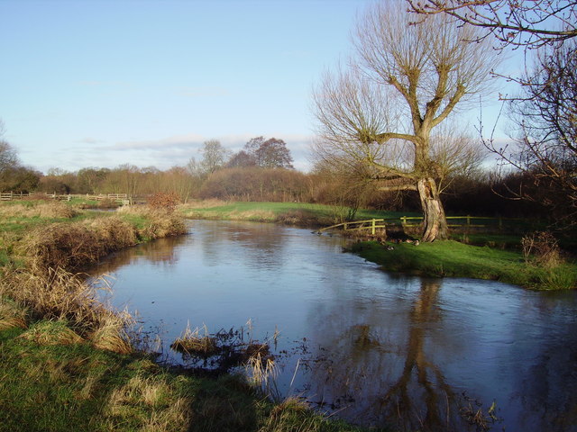
Lower Lake in Berkshire is a stunning freshwater body located in the southern part of England. Nestled amidst lush greenery and rolling hills, this lake is a popular destination for nature enthusiasts and those seeking tranquility. Stretching across an area of approximately 10 acres, Lower Lake is a picturesque sight with crystal-clear waters that reflect the surrounding landscape.
The lake is fed by several small streams and springs, ensuring a constant flow of fresh water. It is primarily used for recreational activities such as fishing, boating, and swimming. Anglers can find a variety of fish species in the lake, including carp, pike, and perch, making it a favorite spot for fishing enthusiasts.
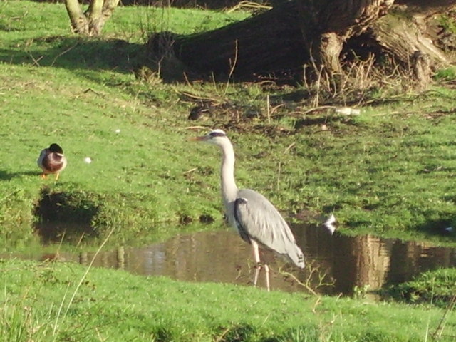
Surrounding the lake is a diverse ecosystem, comprising a mix of woodland, wetland, and marsh habitats. This creates a haven for a wide range of flora and fauna. The marshes are particularly noteworthy, as they support a rich biodiversity of plant life, including reeds, rushes, and water lilies. These marshes also provide an ideal habitat for various bird species, such as herons, ducks, and swans, attracting birdwatchers throughout the year.
Visitors to Lower Lake can enjoy leisurely walks along the well-maintained trails that encircle the lake. The tranquil ambiance and scenic views make it an ideal location for picnics and family outings. Additionally, the lake is home to a variety of waterfowl, adding to the serene atmosphere.
Overall, Lower Lake in Berkshire offers a peaceful and picturesque setting, where visitors can appreciate the beauty of nature and indulge in a range of recreational activities.
If you have any feedback on the listing, please let us know in the comments section below.
Lower Lake Images
Images are sourced within 2km of 51.338541/-0.76400841 or Grid Reference SU8660. Thanks to Geograph Open Source API. All images are credited.


Lower Lake is located at Grid Ref: SU8660 (Lat: 51.338541, Lng: -0.76400841)
Unitary Authority: Bracknell Forest
Police Authority: Thames Valley
What 3 Words
///bandaged.shine.giants. Near Camberley, Surrey
Nearby Locations
Related Wikis

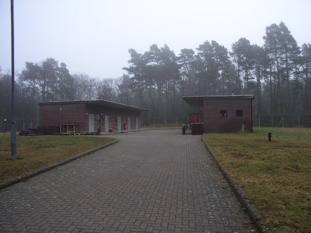
Royal Military Academy Ground
Royal Military Academy Ground is a cricket ground in Sandhurst, Berkshire near Camberley, Surrey. The ground itself is located within the grounds of the...
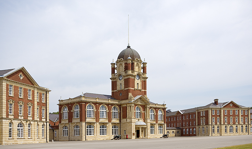
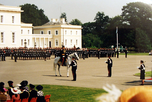
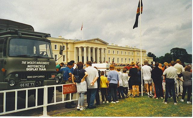
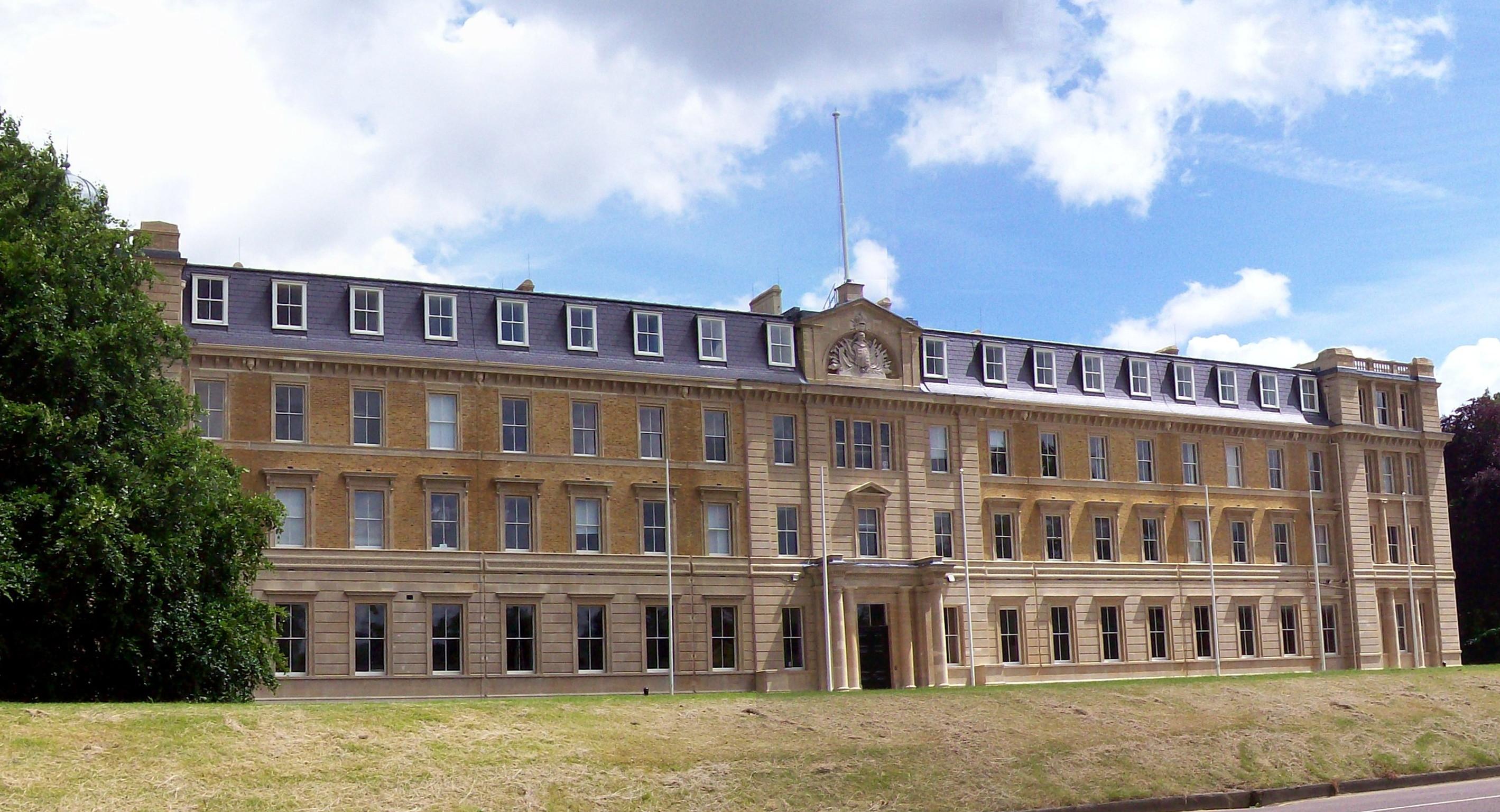
Royal Military Academy Sandhurst
The Royal Military Academy Sandhurst (RMAS or RMA Sandhurst), commonly known simply as Sandhurst, is one of several military academies of the United Kingdom...

The Concrete Elephant
The Concrete Elephant is a sculpture and local landmark standing along the A30 in Camberley on approach to The Meadows roundabout. It was created by Barbara...

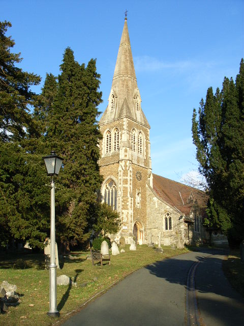
St Tarcisius Church, Camberley
St Tarcisius Church is a Roman Catholic Parish church in Camberley, Surrey. It was built between 1923 and 1924 and was designed by Frederick Walters. It...
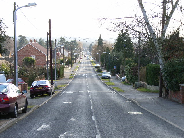
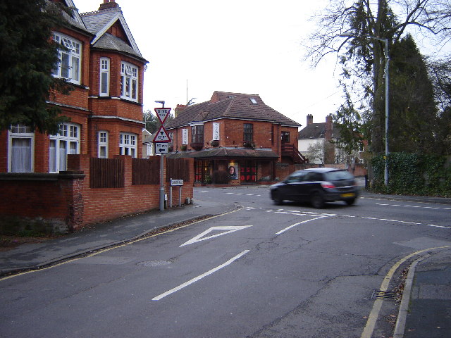
College Town, Berkshire
College Town is a suburb of Sandhurst. The settlement lies north of the A321 road and is approximately 0.5 miles (0.80 km) west of the Royal Military Academy...
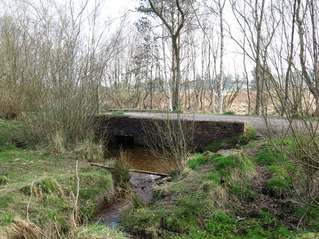
Wish Stream
Wish Stream is a small, steep English river, which is a tributary of the River Blackwater. Mostly it demarcates Berkshire and Surrey. It rises on heath...
Staff College, Camberley
Staff College, Camberley, Surrey, was a staff college for the British Army and the presidency armies of British India (later merged to form the Indian...
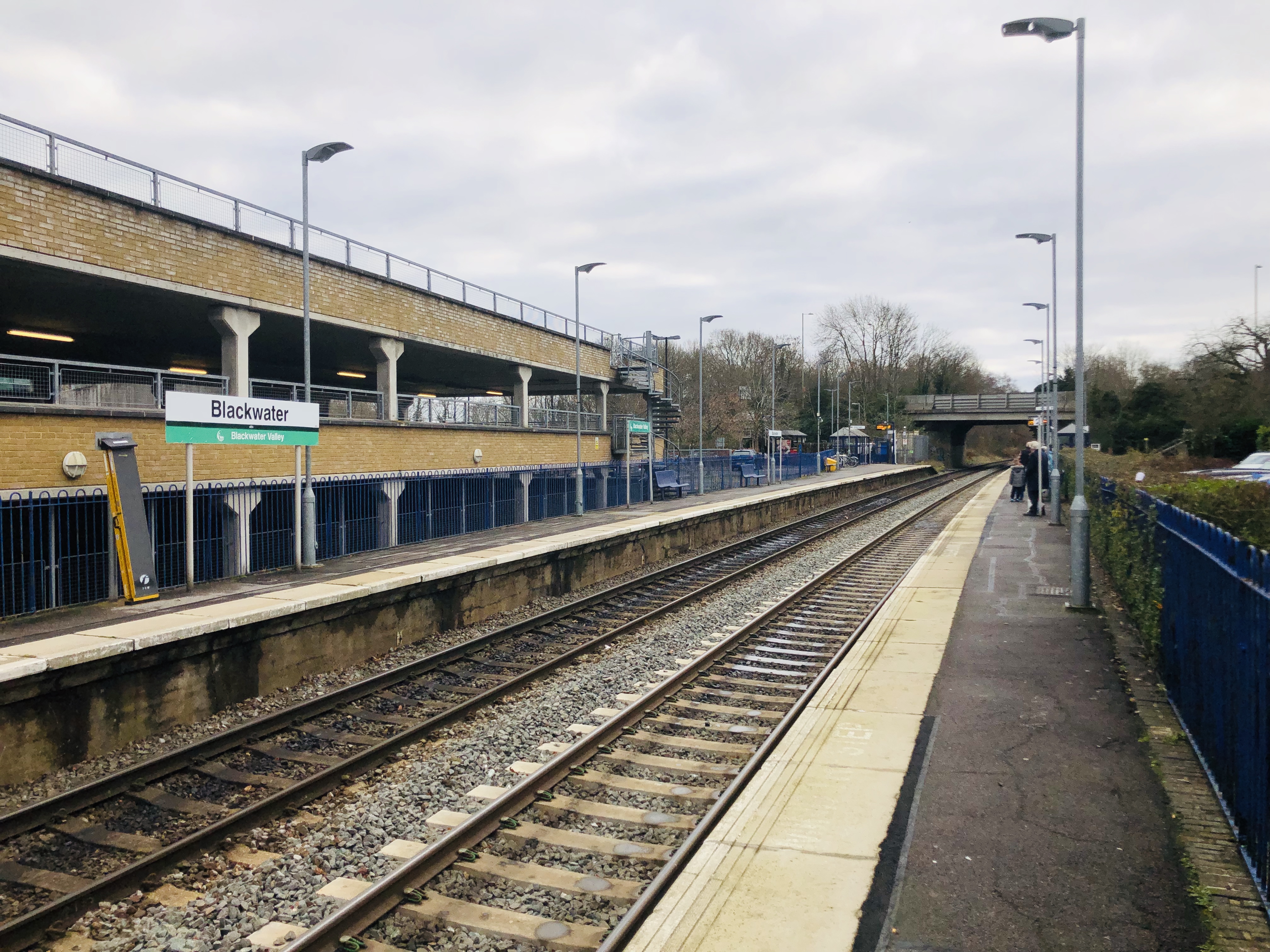
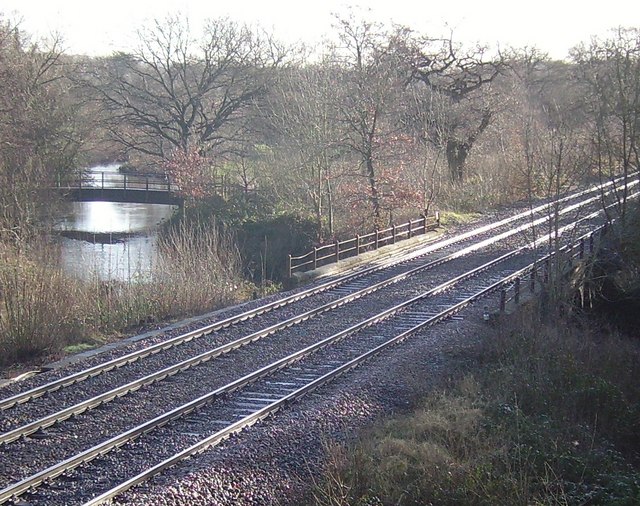
Blackwater railway station
Blackwater railway station is a railway station in Blackwater, a town on the borders of Hampshire, Surrey and Berkshire in England. The station is managed...
Nearby Amenities
Located within 500m of 51.338541,-0.76400841Have you been to Lower Lake?
Leave your review of Lower Lake below (or comments, questions and feedback).