Washbrook

Lake, Pool, Pond, Freshwater Marsh in Buckinghamshire

England

Washbrook

Holy Well, Scorne Lane, North Marston This edifice marks the site of a well that was supplied by a spring whose waters were claimed to have curative properties. The spring was discovered in 1290 by the then rector of North Marston, Sir John Scorne and until the Reformation the site was a place of pilgrimage. Following a drowning in 1861, the well fell into disuse and was covered over, and by 1900 had been replaced with a pump. The renovations carried out in 2004-5 included the construction of the present shelter.
Holy Well, Scorne Lane, North Marston Credit: David Kemp

Washbrook, located in Buckinghamshire, England, is a picturesque area that boasts a variety of natural water features including a lake, pool, pond, and a freshwater marsh. Situated amidst lush greenery and rolling hills, Washbrook offers a tranquil escape for both locals and visitors alike.

The lake in Washbrook is a prominent feature, covering a substantial area with its sparkling blue waters. It provides a scenic backdrop for leisurely walks or picnics by the shore. The lake is home to a diverse range of aquatic life, including fish, waterfowl, and various plant species.

Adjacent to the lake is a smaller pool, which offers a more secluded and intimate setting. Surrounded by reeds and trees, this pool provides a peaceful retreat for those seeking solitude amidst nature's beauty.

Within Washbrook, there is also a charming pond, teeming with aquatic plants and small creatures. It serves as a watering hole for wildlife, attracting birds, insects, and amphibians. The pond's serene ambiance is perfect for observing nature up close.

Furthermore, Washbrook boasts a freshwater marsh, a unique ecosystem that supports a variety of wetland plants and animals. This marshy area is characterized by its rich soil and waterlogged conditions, creating a habitat for diverse species of birds, insects, and amphibians.

Washbrook's water features are not only aesthetically pleasing but also play a crucial role in supporting the local ecosystem. They provide a habitat for numerous wildlife species and contribute to the overall biodiversity of the area. Whether one seeks relaxation, wildlife watching, or simply a connection with nature, Washbrook's lake, pool, pond, and freshwater marsh offer a haven of natural beauty.

If you have any feedback on the listing, please let us know in the comments section below.
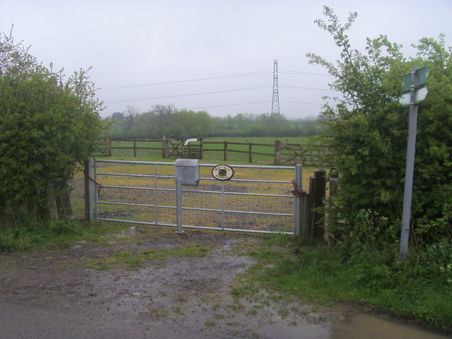
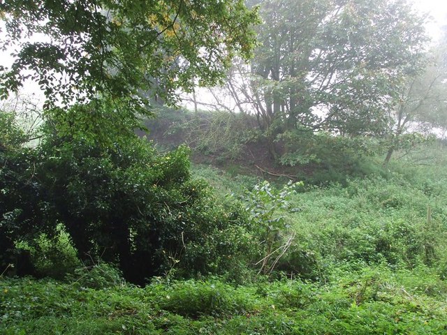
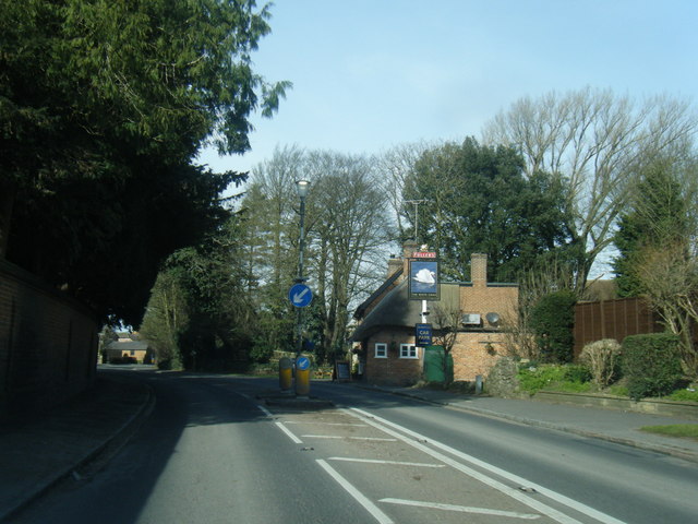
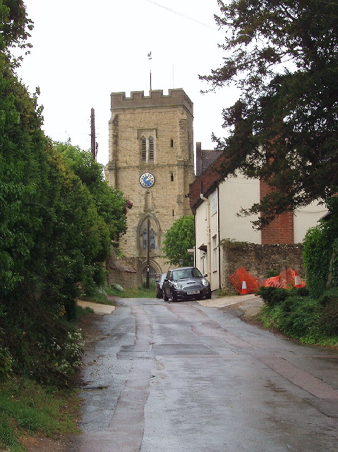
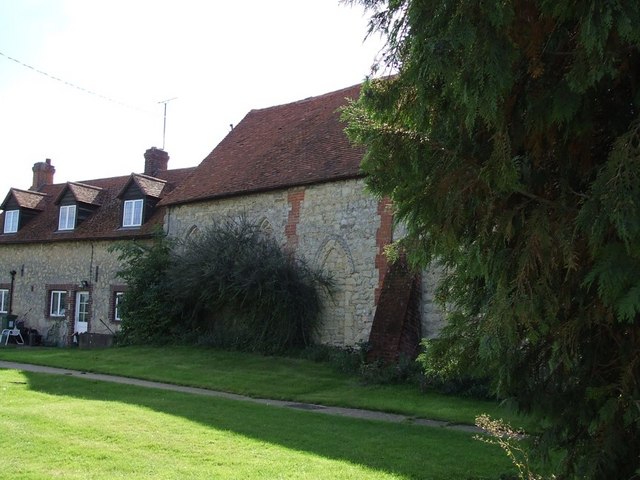
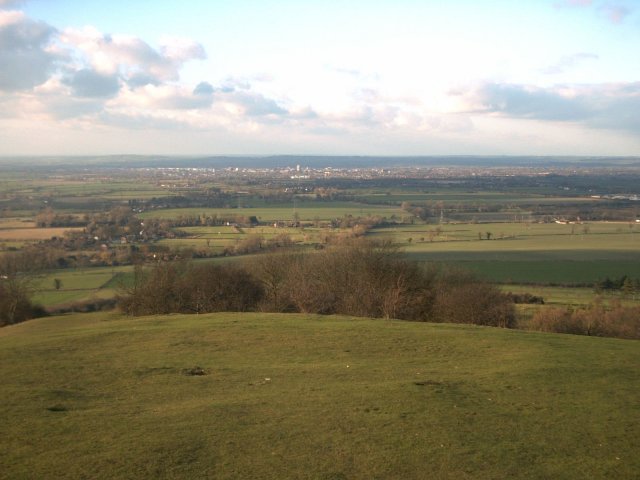
Washbrook Images

Images are sourced within 2km of 51.890524/-0.86726938 or Grid Reference SP7821. Thanks to Geograph Open Source API. All images are credited.

Holy Well, Scorne Lane, North Marston This edifice marks the site of a well that was supplied by a spring whose waters were claimed to have curative properties. The spring was discovered in 1290 by the then rector of North Marston, Sir John Scorne and until the Reformation the site was a place of pilgrimage. Following a drowning in 1861, the well fell into disuse and was covered over, and by 1900 had been replaced with a pump. The renovations carried out in 2004-5 included the construction of the present shelter.
Holy Well, Scorne Lane, North Marston
This edifice marks the site of a well that was supplied by a spring whose waters were claimed to have curative properties. The spring was discovered in 1290 by the then rector of North Marston, Sir John Scorne and until the Reformation the site was a place of pilgrimage. Following a drowning in 1861, the well fell into disuse and was covered over, and by 1900 had been replaced with a pump. The renovations carried out in 2004-5 included the construction of the present shelter.
Cottages at north end of High Street, North Marston
Oving - All Saints Church All Saints, Oving dates from the C13th and is EH Grade II* listed <span class="nowrap"><a title="https://historicengland.org.uk/listing/the-list/list-entry/1117846?section=official-list-entry" rel="nofollow ugc noopener" href="https://historicengland.org.uk/listing/the-list/list-entry/1117846?section=official-list-entry">Link</a><img style="margin-left:2px;" alt="External link" title="External link - shift click to open in new window" src="https://s1.geograph.org.uk/img/external.png" width="10" height="10"/></span>
Oving - All Saints Church
All Saints, Oving dates from the C13th and is EH Grade II* listed LinkExternal link
Oving - The 'Black Boy' public house The 'Black Boy' is the only pub in the village of Oving, though there used to be two or possibly three others, all long closed - see information at foot of this description.
It is somewhat larger inside than this external view would suggest and it has a large garden at the rear (see <a href="https://www.geograph.org.uk/photo/7450312">SP7821 : Oving - Garden of the 'Black Boy' pub</a>).
It is EH Grade II listed: <span class="nowrap"><a title="https://historicengland.org.uk/listing/the-list/list-entry/1319260?section=official-list-entry" rel="nofollow ugc noopener" href="https://historicengland.org.uk/listing/the-list/list-entry/1319260?section=official-list-entry">Link</a><img style="margin-left:2px;" alt="External link" title="External link - shift click to open in new window" src="https://s1.geograph.org.uk/img/external.png" width="10" height="10"/></span>
Good food and ale, see their own website here: <span class="nowrap"><a title="https://www.theblackboyoving.co.uk" rel="nofollow ugc noopener" href="https://www.theblackboyoving.co.uk">Link</a><img style="margin-left:2px;" alt="External link" title="External link - shift click to open in new window" src="https://s1.geograph.org.uk/img/external.png" width="10" height="10"/></span>

Former pubs of Oving
The Butchers Arms - closed after 1966 - see <span class="nowrap"><a title="https://pubshistory.com/Buckinghamshire/Oving/ButchersArms.shtml" rel="nofollow ugc noopener" href="https://pubshistory.com/Buckinghamshire/Oving/ButchersArms.shtml">Link</a><img style="margin-left:2px;" alt="External link" title="External link - shift click to open in new window" src="https://s1.geograph.org.uk/img/external.png" width="10" height="10"/></span> and <span class="nowrap"><a title="https://www.francisfrith.com/uk/oving/the-butchers-arms-oving_memory-220501" rel="nofollow ugc noopener" href="https://www.francisfrith.com/uk/oving/the-butchers-arms-oving_memory-220501">Link</a><img style="margin-left:2px;" alt="External link" title="External link - shift click to open in new window" src="https://s1.geograph.org.uk/img/external.png" width="10" height="10"/></span>
The Crown Inn - closed after 1871 - see <span class="nowrap"><a title="https://pubshistory.com/Buckinghamshire/Oving/CrownInn.shtml" rel="nofollow ugc noopener" href="https://pubshistory.com/Buckinghamshire/Oving/CrownInn.shtml">Link</a><img style="margin-left:2px;" alt="External link" title="External link - shift click to open in new window" src="https://s1.geograph.org.uk/img/external.png" width="10" height="10"/></span>
The Beer House - may have been a beer wholesaler rather than a pub, the only information about this establishment is from the 1871 census - see <span class="nowrap"><a title="https://pubshistory.com/Buckinghamshire/Oving/BowlingAlley.shtml" rel="nofollow ugc noopener" href="https://pubshistory.com/Buckinghamshire/Oving/BowlingAlley.shtml">Link</a><img style="margin-left:2px;" alt="External link" title="External link - shift click to open in new window" src="https://s1.geograph.org.uk/img/external.png" width="10" height="10"/></span>
Oving - The 'Black Boy' public house
The 'Black Boy' is the only pub in the village of Oving, though there used to be two or possibly three others, all long closed - see information at foot of this description. It is somewhat larger inside than this external view would suggest and it has a large garden at the rear (see SP7821 : Oving - Garden of the 'Black Boy' pub). It is EH Grade II listed: LinkExternal link Good food and ale, see their own website here: LinkExternal link Former pubs of Oving The Butchers Arms - closed after 1966 - see LinkExternal link and LinkExternal link The Crown Inn - closed after 1871 - see LinkExternal link The Beer House - may have been a beer wholesaler rather than a pub, the only information about this establishment is from the 1871 census - see LinkExternal link
Oving - Garden of the 'Black Boy' pub Large garden at the rear of <a href="https://www.geograph.org.uk/photo/7450310">SP7821 : Oving - The 'Black Boy' public house</a>.
There are excellent views to North Marston and Granborough from here - see <a href="https://www.geograph.org.uk/photo/7450313">SP7722 : View to North Marston from Oving</a>
Oving - Garden of the 'Black Boy' pub
Large garden at the rear of SP7821 : Oving - The 'Black Boy' public house. There are excellent views to North Marston and Granborough from here - see SP7722 : View to North Marston from Oving
View to North Marston from Oving Looking over rolling Buckinghamshire countryside to the village of North Marston from <a href="https://www.geograph.org.uk/photo/7450312">SP7821 : Oving - Garden of the 'Black Boy' pub</a> in Oving.
View to North Marston from Oving
Looking over rolling Buckinghamshire countryside to the village of North Marston from SP7821 : Oving - Garden of the 'Black Boy' pub in Oving.
St Mary, North Marston - south-east elevation
St Mary, North Marston - south elevation looking west
St Mary, North Marston - north elevation looking east
St Mary, North Marston - west tower
Farmhouse & farm buildings, North Marston I think this must be Manor Farm in St John's Lane but am open to correction. Taken from the Matthew's Way footpath.
Farmhouse & farm buildings, North Marston
I think this must be Manor Farm in St John's Lane but am open to correction. Taken from the Matthew's Way footpath.
Oving village Looking towards the centre of the village . The church is hidden, but can just be made out behind the trunk of the lone, bare tree. This is Church Lane, which continues sharply to the right in front of the house painted white and the church.
Oving village
Looking towards the centre of the village . The church is hidden, but can just be made out behind the trunk of the lone, bare tree. This is Church Lane, which continues sharply to the right in front of the house painted white and the church.
Direction Sign – Signpost opposite Church Lane, Oving Located on the east side of the junction of Church Lane, Baulk Road and Bowling Alley in Oving parish. 3 arms, 1 missing, and annulus finial. See also <a title="https://www.geograph.org.uk/photo/6044672" href="https://www.geograph.org.uk/photo/6044672">Link</a> and <span class="nowrap"><a title="http://www.flickr.com/photos/13171205@N08/3984808019" rel="nofollow ugc noopener" href="http://www.flickr.com/photos/13171205@N08/3984808019">Link</a><img style="margin-left:2px;" alt="External link" title="External link - shift click to open in new window" src="https://s1.geograph.org.uk/img/external.png" width="10" height="10"/></span>.

Milestone Society National ID: BU_SP7821
Direction Sign – Signpost opposite Church Lane, Oving
Located on the east side of the junction of Church Lane, Baulk Road and Bowling Alley in Oving parish. 3 arms, 1 missing, and annulus finial. See also Link and LinkExternal link. Milestone Society National ID: BU_SP7821
Swan's Way Swan's Way entering North Marston
Swan's Way
Swan's Way entering North Marston
Swan's Way Swan's Way heading out from North Marston along Marstonfields Road
Swan's Way
Swan's Way heading out from North Marston along Marstonfields Road
Swan's Way Swan's Way heading along Marstonfields Road
Swan's Way
Swan's Way heading along Marstonfields Road
Path to North Marston Path to North Marston by Hill View Paddocks
Path to North Marston
Path to North Marston by Hill View Paddocks
Outer Aylesbury Ring Off the Oving Road the Outer Aylesbury Ring path heads to Oving
Outer Aylesbury Ring
Off the Oving Road the Outer Aylesbury Ring path heads to Oving
Show me another place!

Washbrook is located at Grid Ref: SP7821 (Lat: 51.890524, Lng: -0.86726938)

Unitary Authority: Buckinghamshire

Police Authority: Thames Valley

What 3 Words

///disposal.friends.inherits. Near Winslow, Buckinghamshire

Nearby Locations

Oving Washbrook

Related Wikis

Oving, Buckinghamshire

Oving (historically , more recently ) is a village and also a civil parish within Aylesbury Vale district in Buckinghamshire, England. It is located about...

North Marston

North Marston is a village and also a civil parish in the Buckinghamshire district in the ceremonial county of Buckinghamshire, England. It is located...

Pitchcott

Pitchcott is a village and civil parish in the Aylesbury Vale district of Buckinghamshire, England. It is about 3 miles (5 km) north-east of Waddesdon...

Bolbec Castle

Bolbec Castle or Bolebec Castle, was a castle in the village of Whitchurch, Buckinghamshire, England. == History == The motte and bailey castle was illegally...

The Firs, Whitchurch

The Firs is a country house in Whitchurch, Buckinghamshire. == History == The house was built in 1897 for Charles Gray, an officer who fought with the...

Whitchurch, Buckinghamshire

Whitchurch is a village and civil parish in the unitary authority area of Buckinghamshire, England. The village is on the A413 road about 4 miles (6.4...

Creslow

Creslow (occasionally also known as Christlow) is a village and civil parish within Aylesbury Vale district in Buckinghamshire, England. It is close to...

Aylesbury Vale

The Aylesbury Vale (or Vale of Aylesbury) is a geographical region in Buckinghamshire, England, which is bounded by the City of Milton Keynes and West...

Have you been to Washbrook?

Leave your review of Washbrook below (or comments, questions and feedback).