Town End Pond
Lake, Pool, Pond, Freshwater Marsh in Yorkshire Ryedale
England
Town End Pond
Town End Pond is a picturesque freshwater pond located in the heart of Yorkshire, England. Spanning an area of approximately 2 acres, this serene waterbody is a popular local attraction known for its natural beauty and diverse ecosystem. It is situated in the charming village of Town End, surrounded by lush greenery and rolling hills.
The pond, fed by several small streams, is a haven for various species of aquatic plants and animals. Its crystal-clear waters provide a thriving habitat for a wide range of freshwater fish, including roach, perch, and carp. The pond's shallow areas are adorned with vibrant water lilies and other aquatic vegetation, creating a stunning visual display.
Aside from its natural beauty, Town End Pond also serves as a recreational spot for the local community. Fishing enthusiasts flock to its shores, enjoying the peaceful ambiance and the opportunity to catch some of the pond's abundant fish species. The pond is well-stocked and managed, ensuring an enjoyable angling experience for visitors of all skill levels.
Surrounded by walking trails and picnic areas, Town End Pond offers a tranquil escape from the hustle and bustle of everyday life. Visitors can take leisurely strolls along the water's edge, immersing themselves in the sights and sounds of nature. Birdwatchers are treated to a variety of avian species, including swans, ducks, and herons, making the pond a birdwatching hotspot.
Overall, Town End Pond is a serene and picturesque freshwater pond that offers a diverse ecosystem and recreational opportunities for both locals and visitors alike. Its natural beauty and tranquility make it a must-visit destination for nature lovers and outdoor enthusiasts in Yorkshire.
If you have any feedback on the listing, please let us know in the comments section below.
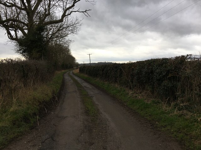
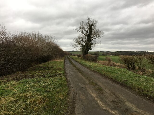
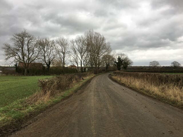
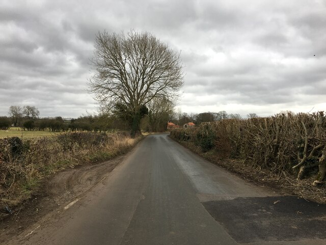
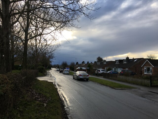
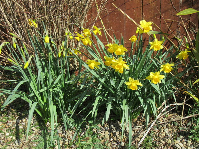
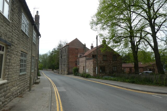
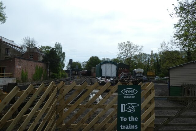
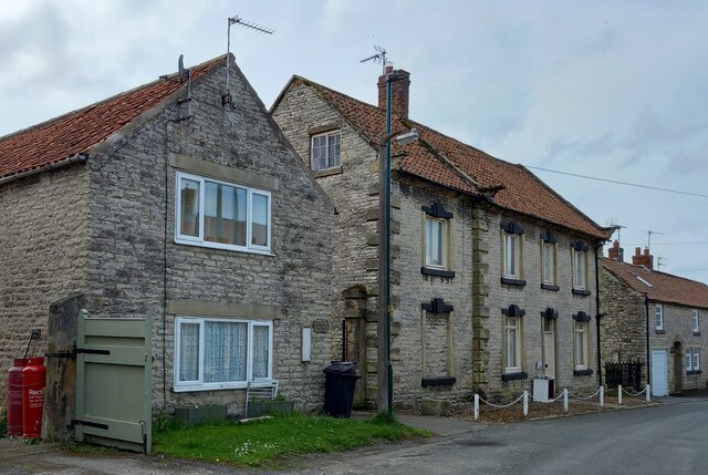
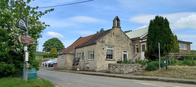
Town End Pond Images
Images are sourced within 2km of 54.258799/-0.80386893 or Grid Reference SE7885. Thanks to Geograph Open Source API. All images are credited.

Town End Pond is located at Grid Ref: SE7885 (Lat: 54.258799, Lng: -0.80386893)
Division: North Riding
Administrative County: North Yorkshire
District: Ryedale
Police Authority: North Yorkshire
What 3 Words
///surreal.bookcases.ballparks. Near Pickering, North Yorkshire
Nearby Locations
Related Wikis
Middleton, east North Yorkshire
Middleton is a small village and civil parish in North Yorkshire, England. It is situated on the A170 road to the west of Pickering. There is a Church...

Aislaby, Ryedale
Aislaby is a hamlet and civil parish near the English town of Pickering, North Yorkshire. It lies on the A170 to the west of Pickering between Wrelton...

Costa Beck
Costa Beck is a small river in the Ryedale district of North Yorkshire, England. It also lends its name to an archaeological site. == Watercourse == The...

Lady Lumley's School
Lady Lumley's School is a coeducational secondary school and sixth form located in Pickering, North Yorkshire, England. It was founded in Thornton-le-Dale...

Wrelton
Wrelton is a village and civil parish in North Yorkshire, England. It is on the A170 road and 2 miles west of Pickering. == History == Wrelton is mentioned...
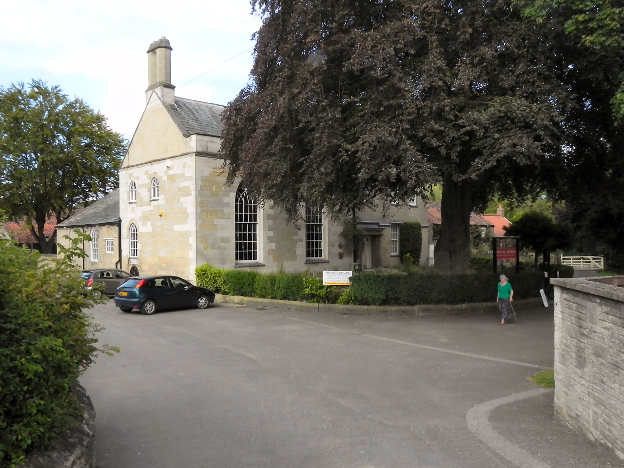
Beck Isle Museum
The Beck Isle Museum of Rural Life is a social history museum in Pickering, North Yorkshire, England. The museum features period business displays including...
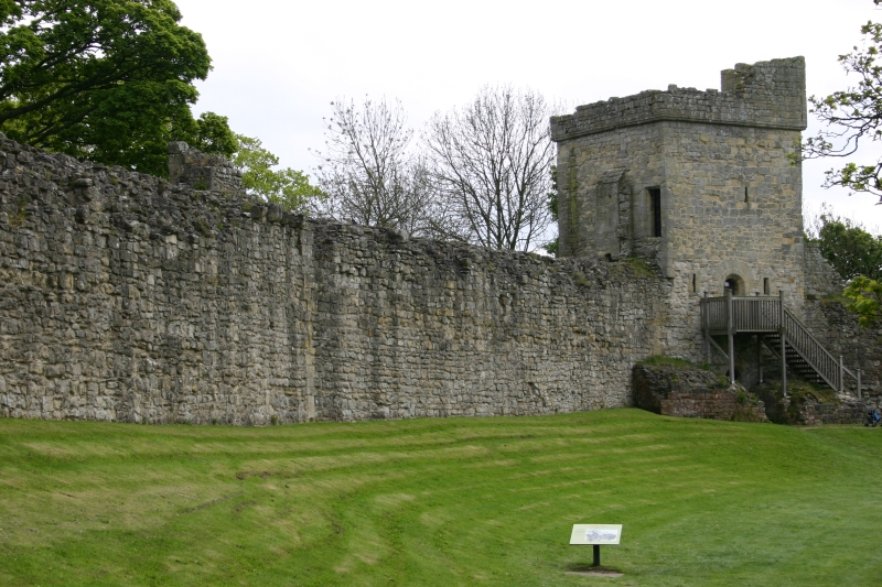
Pickering Castle
Pickering Castle is a motte-and-bailey fortification in Pickering, North Yorkshire, England. == Design == Pickering Castle was originally a timber and...

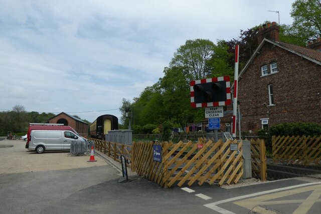
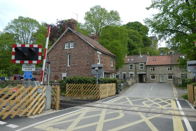
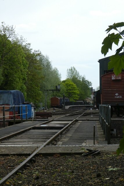
Pickering railway station
Pickering railway station is the southern terminus of the North Yorkshire Moors Railway and serves the town of Pickering in North Yorkshire, England. The...
Nearby Amenities
Located within 500m of 54.258799,-0.80386893Have you been to Town End Pond?
Leave your review of Town End Pond below (or comments, questions and feedback).