Brick Ponds
Lake, Pool, Pond, Freshwater Marsh in Yorkshire
England
Brick Ponds
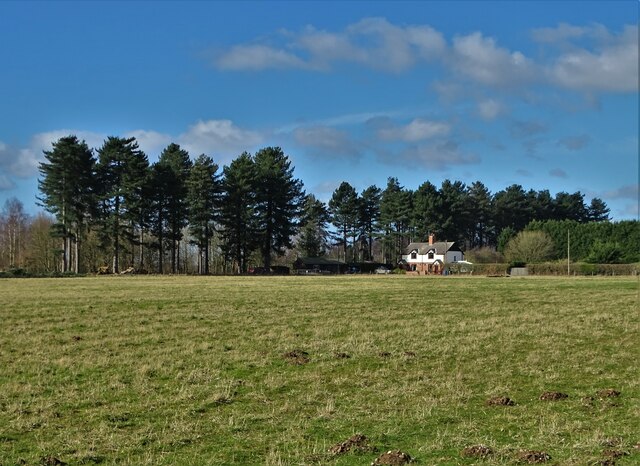
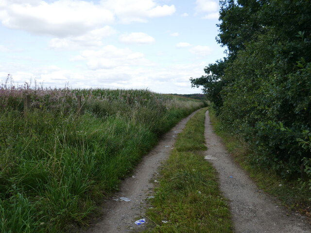
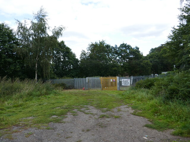
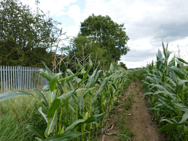
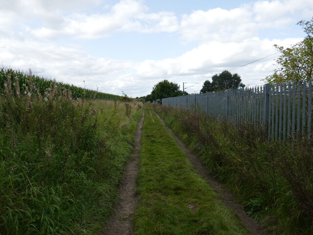
Brick Ponds, located in Yorkshire, is a picturesque freshwater marsh nestled amidst the serene countryside. Spanning across a vast area, it encompasses a combination of lakes, pools, ponds, and marshland, creating a diverse and thriving ecosystem.
The main attraction of Brick Ponds is its pristine lake, which acts as a focal point for visitors and wildlife alike. The tranquil waters shimmer under the sunlight, inviting visitors to indulge in a variety of recreational activities such as boating, fishing, and birdwatching. The lake is home to a plethora of freshwater fish species, making it a haven for anglers seeking a peaceful fishing experience.
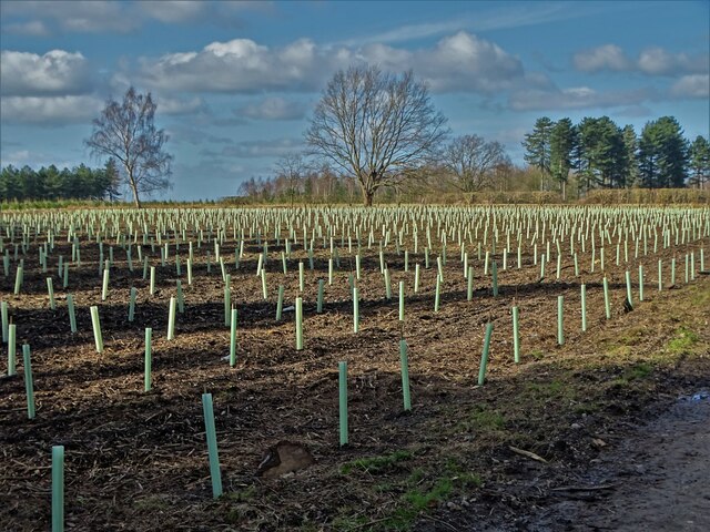
Adjacent to the lake, a series of interconnected pools and ponds form a complex network, creating a habitat rich in biodiversity. These smaller bodies of water provide a breeding ground for numerous aquatic species, including amphibians and insects. The surrounding marshland is characterized by lush vegetation, reeds, and grasses, attracting a wide array of bird species. Ornithologists and nature enthusiasts can spot various waterfowl, waders, and migratory birds, making Brick Ponds an ideal destination for birdwatching enthusiasts.
The management of Brick Ponds is committed to preserving the natural environment and promoting conservation efforts. They have implemented measures to protect the delicate ecosystem, including maintaining water quality, managing invasive species, and creating nesting sites for endangered birds. Educational programs and guided tours are also organized, allowing visitors to learn about the importance of wetland ecosystems and the need for their conservation.
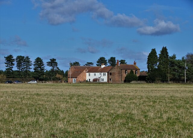
In summary, Brick Ponds in Yorkshire offers a harmonious blend of lakes, pools, ponds, and marshland. With its diverse range of wildlife and recreational activities, it provides a tranquil retreat for nature lovers and an opportunity to appreciate the beauty and significance of freshwater ecosystems.
If you have any feedback on the listing, please let us know in the comments section below.
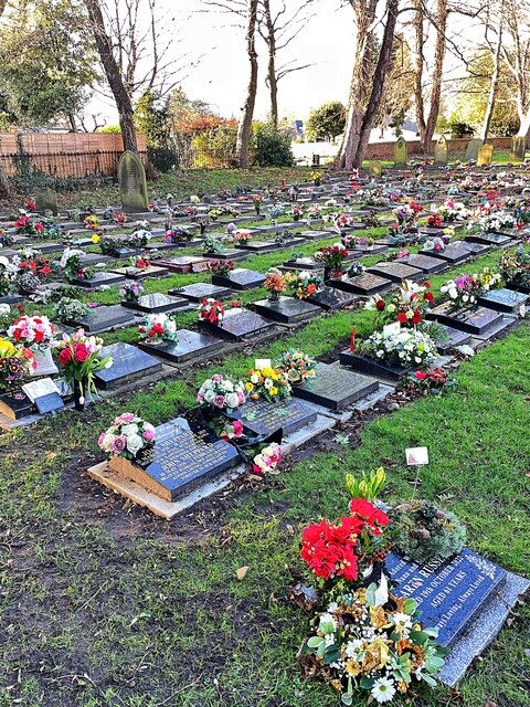
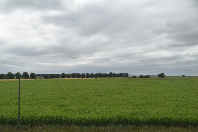
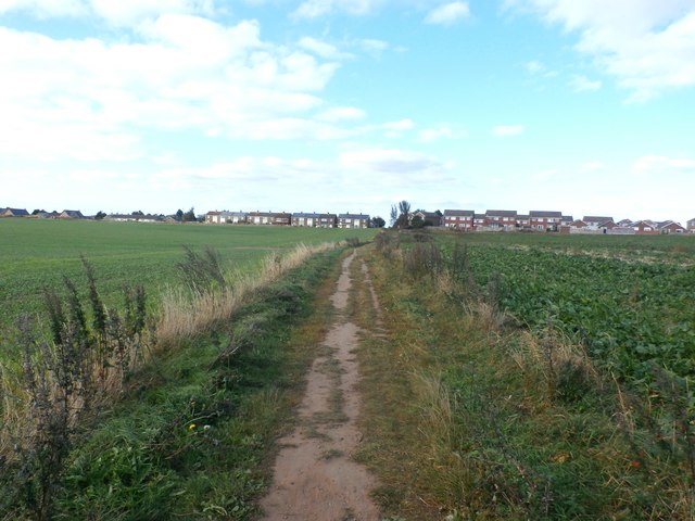
Brick Ponds Images
Images are sourced within 2km of 53.466285/-1.041991 or Grid Reference SK6397. Thanks to Geograph Open Source API. All images are credited.


Brick Ponds is located at Grid Ref: SK6397 (Lat: 53.466285, Lng: -1.041991)
Division: West Riding
Unitary Authority: Doncaster
Police Authority: South Yorkshire
What 3 Words
///client.unscathed.driving. Near Rossington, South Yorkshire
Nearby Locations
Related Wikis

Rossington All Saints Academy
Rossington All Saints Academy is a coeducational secondary school and sixth form located in Rossington, South Yorkshire, England.Originally known as Rossington...

Rossington
Rossington is a civil parish and former mining village in the Metropolitan Borough of Doncaster in South Yorkshire, England and is surrounded by countryside...

Doncaster Sheffield Airport railway station
Doncaster Sheffield Airport railway station (also known as Aerotropolis) was a proposed railway station in the Doncaster Sheffield Airport (DSA) terminal...

Rossington railway station
Rossington was a railway station which served the village of Rossington on the Great Northern Railway's main line some 5.5 miles (9 km) south of Doncaster...
Nearby Amenities
Located within 500m of 53.466285,-1.041991Have you been to Brick Ponds?
Leave your review of Brick Ponds below (or comments, questions and feedback).