The Lake

Lake, Pool, Pond, Freshwater Marsh in Nottinghamshire Rushcliffe

England

The Lake

Barn at Avenue Farm, Normanton Large late 18th century barn, converted to residential use in the early 21st century. Listed Grade II.
Barn at Avenue Farm, Normanton Credit: Alan Murray-Rust

The Lake, Nottinghamshire, located in the county of Nottinghamshire in the East Midlands region of England, is a picturesque body of water encompassing a diverse ecosystem. As its name suggests, the area primarily features a large lake, but it also includes a pool, pond, and freshwater marsh.

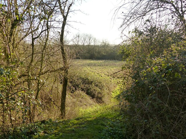
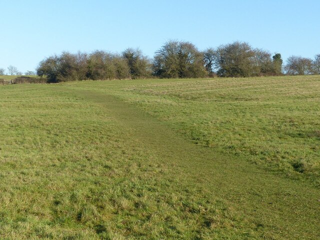
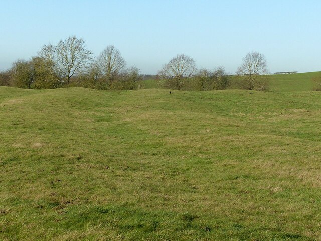
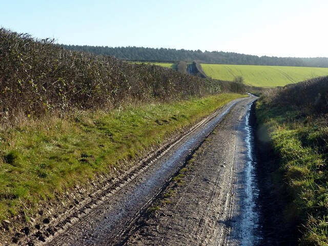
The main attraction, the lake, stretches across a considerable area and is surrounded by lush greenery and woodlands. It offers a serene and tranquil environment, making it a popular spot for visitors seeking relaxation and natural beauty. The calm waters of the lake provide the perfect setting for various recreational activities such as boating, fishing, and kayaking.

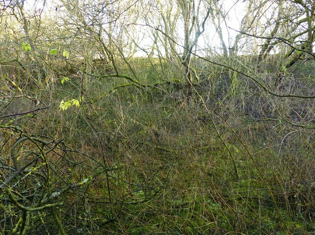
Adjacent to the lake is a smaller pool, which is a haven for birdlife. Birdwatchers and nature enthusiasts flock to this area to observe a wide variety of bird species that inhabit the pool and its surroundings. The diverse bird population includes waterfowl, wading birds, and migratory species. The pool is also home to an array of aquatic plants and insects, creating a thriving ecosystem.

Furthermore, the lake area features a pond, which is teeming with aquatic life. This smaller body of water supports a range of fish species, amphibians, and invertebrates. It provides an ideal environment for fishing and is a favorite spot for anglers of all skill levels.

Additionally, the lake is surrounded by a freshwater marsh, characterized by its marshy vegetation and wetland habitat. This marshland serves as an important breeding ground for several species of plants, insects, and water-dwelling creatures. The marsh plays a crucial role in maintaining the ecological balance of the area.

Overall, The Lake, Nottinghamshire, offers a diverse range of aquatic environments and wildlife. Its combination of lake, pool, pond, and freshwater marsh provides a unique and captivating experience for visitors interested in exploring the natural wonders of Nottinghamshire.

If you have any feedback on the listing, please let us know in the comments section below.
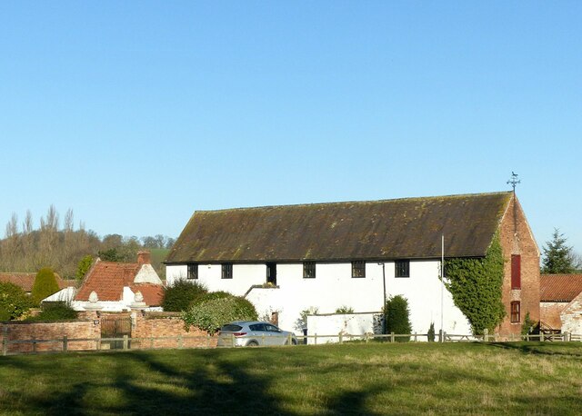
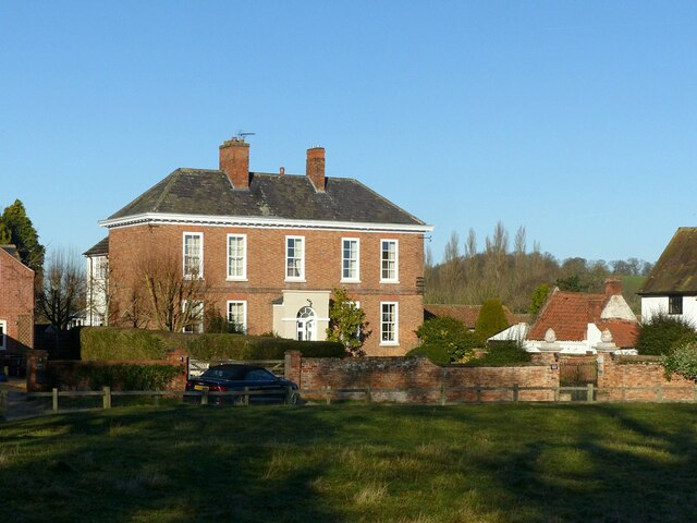
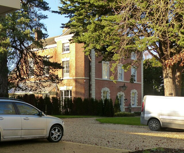
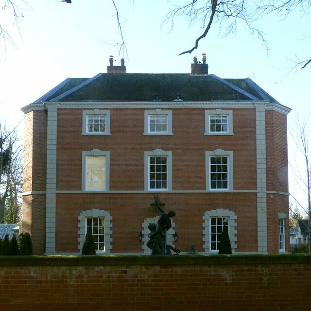
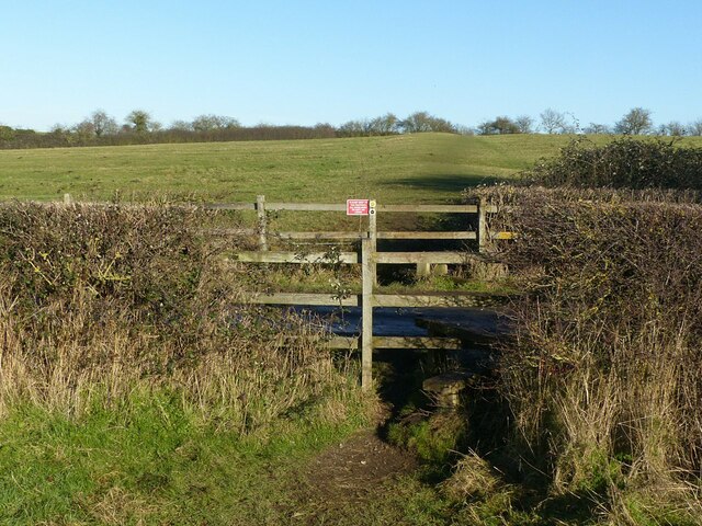
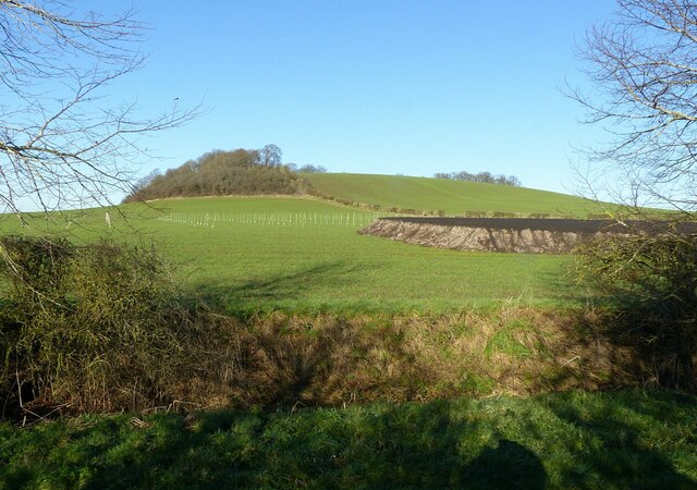
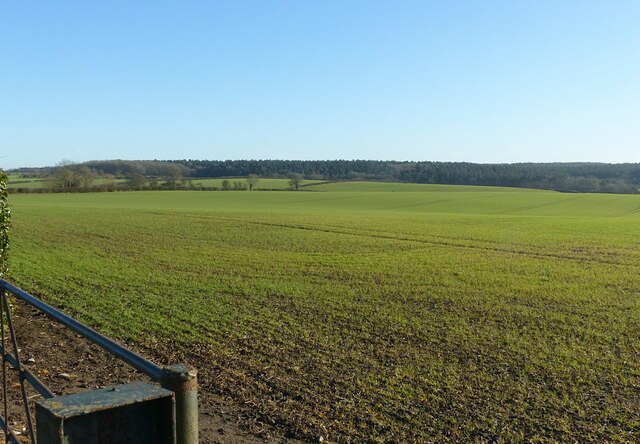
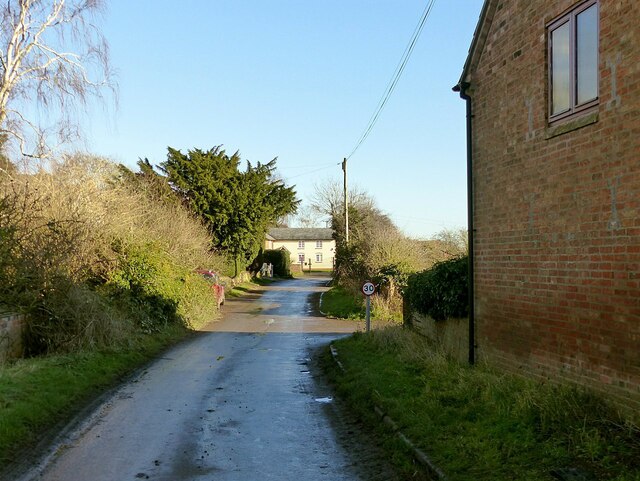
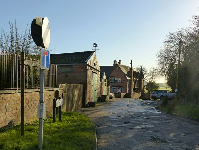
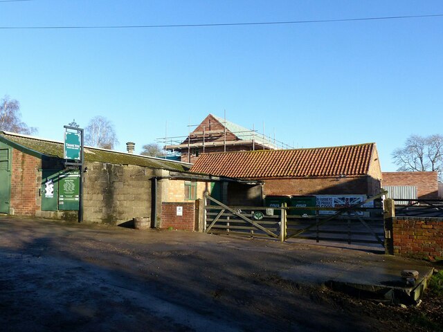
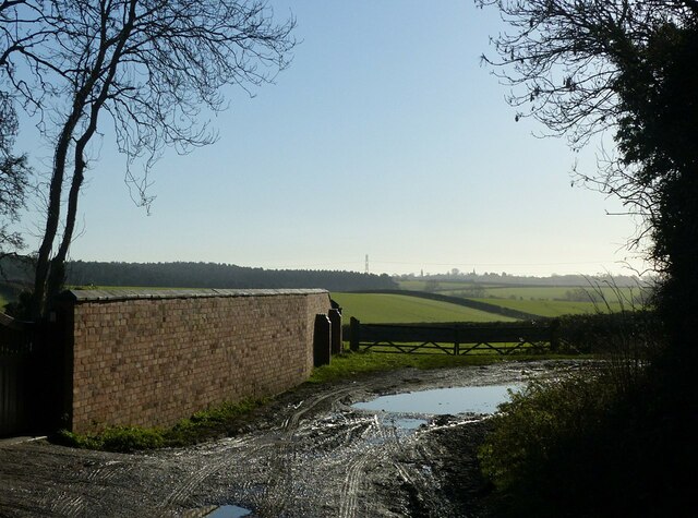
The Lake Images

Images are sourced within 2km of 52.906261/-1.0825944 or Grid Reference SK6134. Thanks to Geograph Open Source API. All images are credited.

Barn at Avenue Farm, Normanton Large late 18th century barn, converted to residential use in the early 21st century. Listed Grade II.
Barn at Avenue Farm, Normanton
Large late 18th century barn, converted to residential use in the early 21st century. Listed Grade II.
Avenue Farmhouse, Normanton Late 18th century house with late 19th century alterations, Listed Grade II. The garden wall with its attractive gateway is included in the Listing.
Avenue Farmhouse, Normanton
Late 18th century house with late 19th century alterations, Listed Grade II. The garden wall with its attractive gateway is included in the Listing.
Normanton House Late 18th century Georgian 3-bay house with 19th century additions, including the octagonal bay seen here. Listed Grade II.
Normanton House
Late 18th century Georgian 3-bay house with 19th century additions, including the octagonal bay seen here. Listed Grade II.
Normanton House, main front Late 18th century Georgian 3-bay house with 19th century additions, including the octagonal bays at the sides. Listed Grade II.
Normanton House, main front
Late 18th century Georgian 3-bay house with 19th century additions, including the octagonal bays at the sides. Listed Grade II.
Earthwork mapped as 'Pond Bay' This is the dam for an extensive mill pond, and dates from the medieval period. As such it represents an unusually large such dam, rising at least 15 metres in the centre with an overall length of at least 150 metres. The pond does not appear on any OS mapping so had clearly become disused at a relatively early stage.

OS mapping uses 'Old English' type face for the name, but the earthwork has no historical designation. The local conservation area appraisal does however note its significance.
Earthwork mapped as 'Pond Bay'
This is the dam for an extensive mill pond, and dates from the medieval period. As such it represents an unusually large such dam, rising at least 15 metres in the centre with an overall length of at least 150 metres. The pond does not appear on any OS mapping so had clearly become disused at a relatively early stage. OS mapping uses 'Old English' type face for the name, but the earthwork has no historical designation. The local conservation area appraisal does however note its significance.
View from the north end of the mill dam (“Pond Bay”) Looking into the area which would have formed the mill pond.  See <a title="https://www.geograph.org.uk/photo/7074117" href="https://www.geograph.org.uk/photo/7074117">Link</a> for more information.
View from the north end of the mill dam (“Pond Bay”)
Looking into the area which would have formed the mill pond. See Link for more information.
Fields above Normanton Showing very clear evidence of medieval strip cultivation. The path is part of the Notts Wolds Way long distance path.
Fields above Normanton
Showing very clear evidence of medieval strip cultivation. The path is part of the Notts Wolds Way long distance path.
Fields above Normanton Showing very clear evidence of medieval strip cultivation.
Fields above Normanton
Showing very clear evidence of medieval strip cultivation.
Stiles at the lane to Wolds Farm, Normanton The path is part of the Notts Wolds Way long distance path.
Stiles at the lane to Wolds Farm, Normanton
The path is part of the Notts Wolds Way long distance path.
Hoe Hill near Normanton-on-the-Wolds Recreating this 'First' for the square <a title="https://www.geograph.org.uk/photo/186175" href="https://www.geograph.org.uk/photo/186175">Link</a> .

The sticks in the field probably indicate some experiment or trial in progress.
Hoe Hill near Normanton-on-the-Wolds
Recreating this 'First' for the square Link . The sticks in the field probably indicate some experiment or trial in progress.
Farmland near Normanton-on-the-Wolds Recreating this 'First' for the square <a title="https://www.geograph.org.uk/photo/186157" href="https://www.geograph.org.uk/photo/186157">Link</a>
Farmland near Normanton-on-the-Wolds
Recreating this 'First' for the square Link
Bench mark at Hall Farm, Clipston on the Wolds See <a title="https://www.geograph.org.uk/photo/7074136" href="https://www.geograph.org.uk/photo/7074136">Link</a> for location.
Bench mark at Hall Farm, Clipston on the Wolds
See Link for location.
Church Gate, Clipston on the Wolds The road probably takes its name for the long defunct chapel adjacent to Glebe Farm. Here it forms part of the Notts Wolds Way long distance path.

There is a benchmark <a title="https://www.geograph.org.uk/photo/7074134" href="https://www.geograph.org.uk/photo/7074134">Link</a> on the wall to the right.
Church Gate, Clipston on the Wolds
The road probably takes its name for the long defunct chapel adjacent to Glebe Farm. Here it forms part of the Notts Wolds Way long distance path. There is a benchmark Link on the wall to the right.
The Hamlet of "Clipston on the Wolds" Recreating this 'First' for the square <a title="https://www.geograph.org.uk/photo/51973" href="https://www.geograph.org.uk/photo/51973">Link</a> .

The 30 mph speed limit was introduced around 2010. The lane forms part of the Notts Wolds Way long distance path.
The Hamlet of "Clipston on the Wolds"
Recreating this 'First' for the square Link . The 30 mph speed limit was introduced around 2010. The lane forms part of the Notts Wolds Way long distance path.
Harker's Farm Shop, Clipston At Blackberry Farm. Not open on a Monday, when I was passing.
Harker's Farm Shop, Clipston
At Blackberry Farm. Not open on a Monday, when I was passing.
Wolds Lane, Clipston on the Wolds Looking south towards Cotgrave Forest.
Wolds Lane, Clipston on the Wolds
Looking south towards Cotgrave Forest.
Wolds Lane, Clipston on the Wolds Looking south towards Cotgrave Forest. This is a public bridleway; the motor traffic is a mix of agricultural and forestry use. This part of the Notts Wolds Way long distance path.
Wolds Lane, Clipston on the Wolds
Looking south towards Cotgrave Forest. This is a public bridleway; the motor traffic is a mix of agricultural and forestry use. This part of the Notts Wolds Way long distance path.
Avenue Farmhouse, Normanton on the Wolds Conspicuous in the sunshine, seen from Laming Gap Lane.
Avenue Farmhouse, Normanton on the Wolds
Conspicuous in the sunshine, seen from Laming Gap Lane.
Show me another place!

The Lake is located at Grid Ref: SK6134 (Lat: 52.906261, Lng: -1.0825944)

Administrative County: Nottinghamshire

District: Rushcliffe

Police Authority: Nottinghamshire

What 3 Words

///clarifies.studio.defend. Near Cotgrave, Nottinghamshire

Nearby Locations

Decennial Wood The Lake

Related Wikis

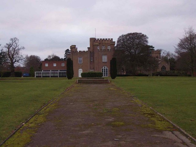
St Hugh's College, Tollerton

St Hugh's College (also referred to as Tollerton Hall and Roclaveston Manor) was a Roman Catholic minor seminary in Tollerton founded by the Diocese of...

St Peter's Church, Tollerton

St. Peter's Church is a Grade-II listed church located in Tollerton, Nottinghamshire, England. == History == There has been a church in Tollerton since...

Tollerton, Nottinghamshire

Tollerton is an English village and civil parish in the Rushcliffe district of Nottinghamshire, just south-east of Nottingham. Statistics from the 2021...

Plumtree, Nottinghamshire

Plumtree is a village and civil parish in the borough of Rushcliffe, Nottinghamshire. At the time of the 2001 census it had a population of 221, increasing...
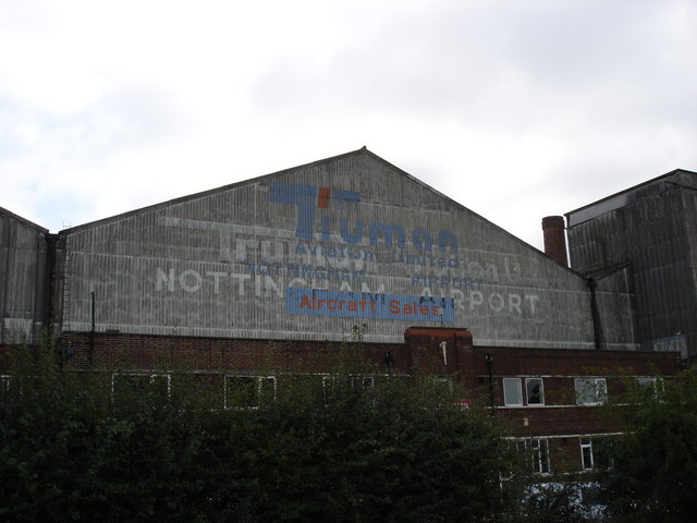
Nottingham Airport

Nottingham Airport (IATA: NQT, ICAO: EGBN), also known as Nottingham City Airport, is located in Tollerton, Nottinghamshire, England. It is situated 3...

Church of St Mary the Virgin, Plumtree

The Church of St Mary the Virgin, Plumtree is a parish church in the Church of England in Plumtree, Nottinghamshire. The church is Grade II listed by the...

Clipston, Nottinghamshire

Clipston, or Clipston on the Wolds, is a small English village and civil parish in the south Nottinghamshire district of Rushcliffe. It lies between Cotgrave...

Normanton-on-the-Wolds

Normanton-on-the-Wolds is a small village in Nottinghamshire, England. Population in 2011 was 245. Acreage 1053. == Overview == The name "Normanton" (Norwegian...

Nearby Amenities

Located within 500m of 52.906261,-1.0825944
Booth: K6
Disused Amenity: telephone
Information: board
Source: survey
Tourism: information
Lat/Long: 52.9073276/-1.086777
Cotgrave Lane
Naptan AtcoCode: 3300RU0627
Naptan Bearing: SE
Naptan BusStopType: CUS
Naptan CommonName: Cotgrave Lane
Naptan Crossing: Tollerton Lane
Naptan Indicator: opp 72
Naptan NaptanCode: ntsdgjwd
Naptan Notes: 3300RU0703
Naptan Street: Cotgrave Lane
Naptan Verified: no
Source: naptan_import
Lat/Long: 52.9079627/-1.0767155
Bus Stop
Cotgrave Lane
Both Ways: yes
Bus: yes
Local Ref: RU0703
Naptan AtcoCode: 3300RU0703
Naptan Bearing: NW
Naptan CommonName: Cotgrave Lane
Naptan Indicator: o/s 72
Naptan NaptanCode: ntsgjtjw
Naptan Notes: BW
Naptan Street: Cotgrave Lane
Naptan Verified: yes
Public Transport: platform
Shelter: no
Source: naptan_import
Lat/Long: 52.9078913/-1.0767765
Bench
Source: Bing
Lat/Long: 52.910343/-1.0845914
Church Hall
St Peter's Church Centre
Addr Postcode: NG12 4GQ
Source: survey
Lat/Long: 52.9066355/-1.0874353
Bench
Lat/Long: 52.9067923/-1.0861693
Entrance: main
Lat/Long: 52.9068925/-1.0863264
Tollerton War Memorial
HE Ref: 1392341
Historic: memorial
Inscription: 1914 - 1919 In grateful memory of Gnr George Henry Sweet 371st Batty R.F.A. Oct 4th 1916. Pte John Edward Lane 16th Sherwood Frsts Sep 20th 1917. Sgt George Brain 10th Sherwood Frsts Mar 22nd 1918 Theirs the Glory Ours the Gain
Inscription 2: 1939 - 1945 L/Cpl Joseph FG Hackett Corps Military Police. Lieut Geoffrey Raynor RNVR (A) CPL William A Randall Foster RAF BDR A Geoffrey Chambers SNH
Inscription 3: Afghanistan GDSM Michael Joseph Roland 1st Batt Grenadier Guards Apr 27th 2012
Listed Status: Grade II
Memorial: war_memorial
Source: survey
Source Listed Status: Historic England
Lat/Long: 52.9074659/-1.0869678
Post Box
Collection Times: Mo-Fr 09:00; Sa 07:00
Post Box Type: wall
Ref: NG12 186D
Royal Cypher: GR
Royal Cypher Wikidata: Q33102273
Source: survey
Lat/Long: 52.9102392/-1.0840791
Defibrillator
Booth: K6
Covered: booth
Defibrillator Location: inside red phone box by entrance to churchyard (opposite war memorial), Tollerton
Disused Amenity: telephone
Emergency: defibrillator
Man Made: telephone_box
Lat/Long: 52.9073831/-1.0867523
Bench
Lat/Long: 52.9075675/-1.0869981
Tollerton War Memorial
Information: board
Tourism: information
Lat/Long: 52.9075044/-1.0870001
507th Parachute Regiment
Historic: memorial
Inscription: In memory of the men of the United States 507th Parachute Regiment who as part of the
Inscription 2: United States 82nd Airborne Division who were camped in the grounds of Tollerton Hall when preparing for combat in the European Theater of Operations in World War 2
Inscription 3: Their devotion to duty and selfless sacrifices in helping to end tyranny in Europe will never be forgotten. Through the passage of time their memory is still cherished.
Memorial: war_memorial
Source: survey
Lat/Long: 52.9075578/-1.0869411
The data included in this document is from www.openstreetmap.org. The data is made available under ODbL.

Have you been to The Lake?

Leave your review of The Lake below (or comments, questions and feedback).