Decennial Wood
Wood, Forest in Nottinghamshire Rushcliffe
England
Decennial Wood
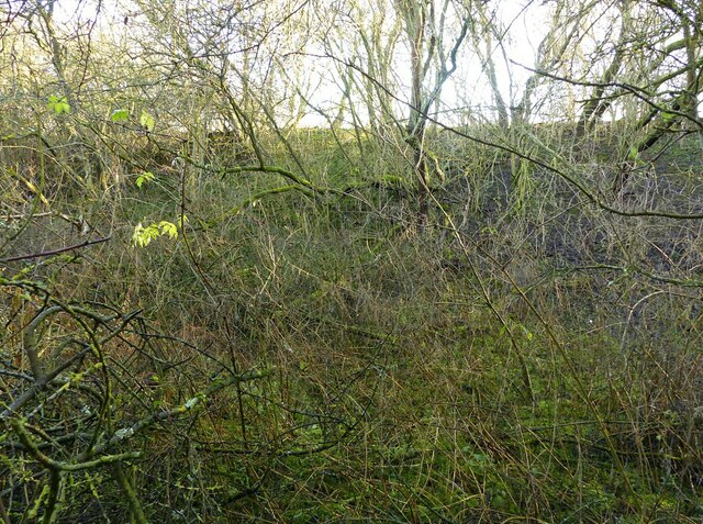
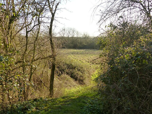
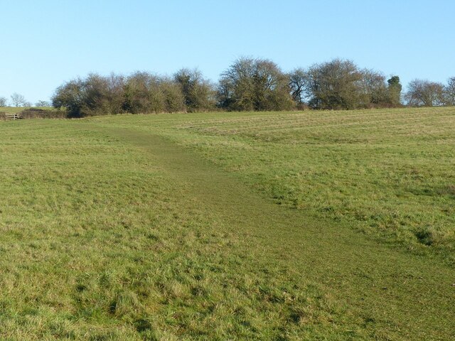
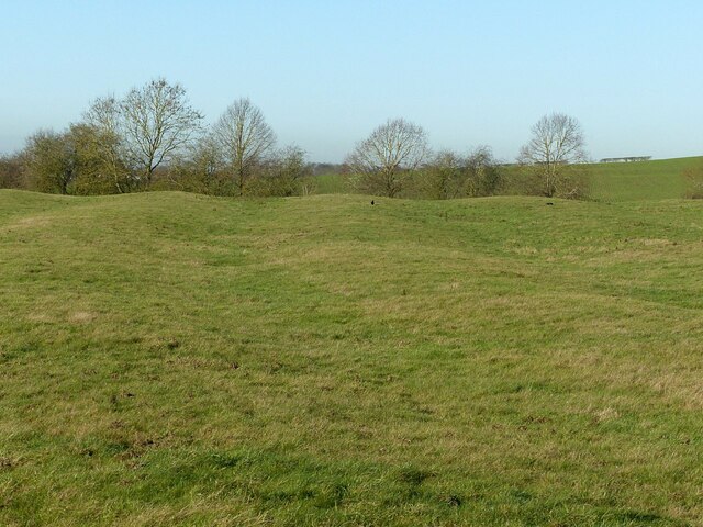
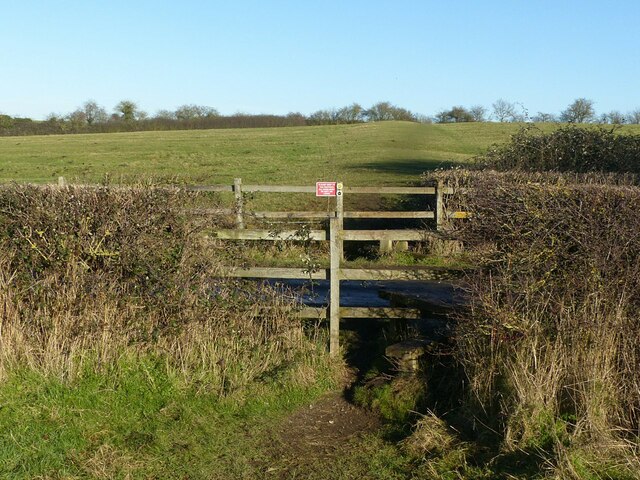
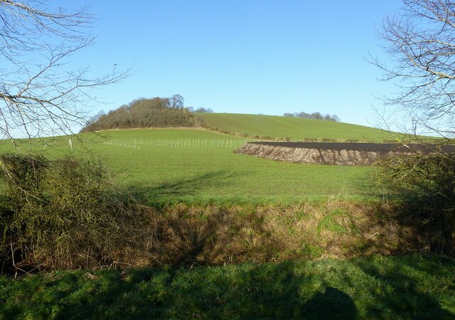
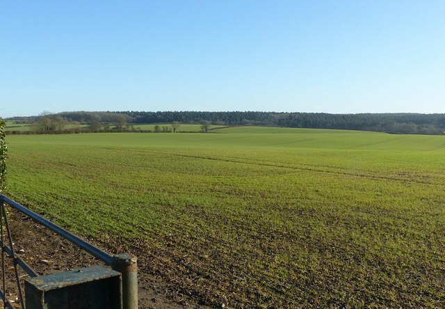
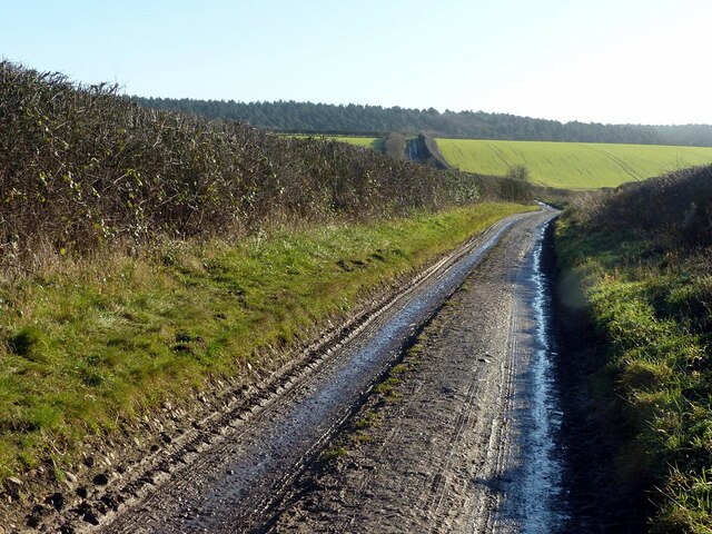
Decennial Wood is a picturesque forest located in Nottinghamshire, England. Spanning over a vast area, it covers approximately 500 acres of land. The wood is known for its dense foliage, diverse wildlife, and tranquil atmosphere, making it a popular destination for nature enthusiasts and hikers.
The forest is primarily composed of deciduous trees such as oak, beech, and ash, which create a stunning display of colors during the autumn season. These trees provide a haven for numerous species of birds, mammals, and insects, offering a rich ecosystem for wildlife enthusiasts to explore.
Decennial Wood offers a variety of walking trails and paths, allowing visitors to immerse themselves in the natural beauty of the surroundings. These trails are well-maintained and provide an opportunity to observe the diverse flora and fauna up close.
In addition to its natural beauty, the forest also holds historical significance. It is believed that the wood has been in existence for centuries, serving as a source of timber and fuel for the local community. The forest has witnessed various human activities over the years, leaving behind traces of its past.
Decennial Wood is easily accessible, with ample parking facilities and well-marked entrances. It is a place where visitors can escape the hustle and bustle of daily life and enjoy the serenity of nature. Whether it's a leisurely stroll, a bird-watching expedition, or a picnic with family and friends, Decennial Wood offers a tranquil retreat for all nature enthusiasts.
If you have any feedback on the listing, please let us know in the comments section below.
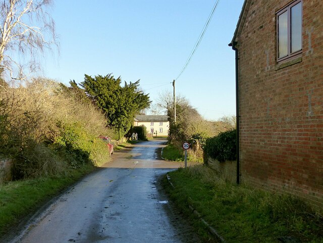
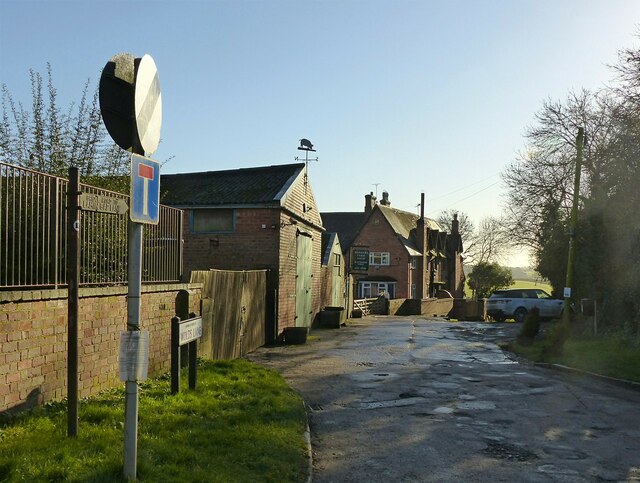
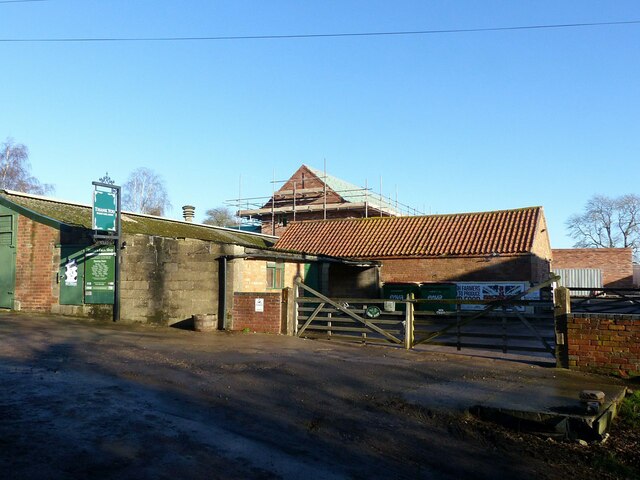
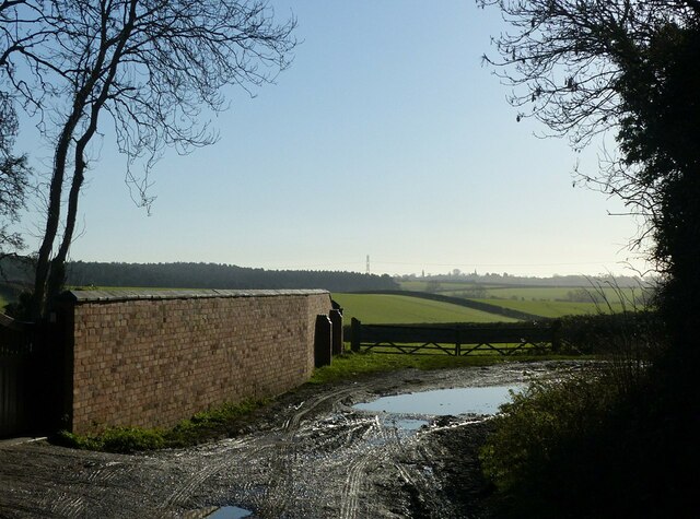
Decennial Wood Images
Images are sourced within 2km of 52.907535/-1.0810954 or Grid Reference SK6134. Thanks to Geograph Open Source API. All images are credited.


Decennial Wood is located at Grid Ref: SK6134 (Lat: 52.907535, Lng: -1.0810954)
Administrative County: Nottinghamshire
District: Rushcliffe
Police Authority: Nottinghamshire
What 3 Words
///milk.audibly.indicated. Near Cotgrave, Nottinghamshire
Nearby Locations
Related Wikis
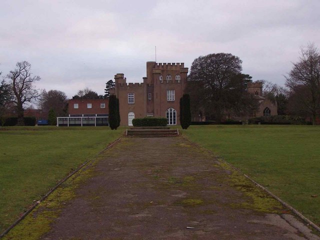
St Hugh's College, Tollerton
St Hugh's College (also referred to as Tollerton Hall and Roclaveston Manor) was a Roman Catholic minor seminary in Tollerton founded by the Diocese of...

St Peter's Church, Tollerton
St. Peter's Church is a Grade-II listed church located in Tollerton, Nottinghamshire, England. == History == There has been a church in Tollerton since...

Tollerton, Nottinghamshire
Tollerton is an English village and civil parish in the Rushcliffe district of Nottinghamshire, just south-east of Nottingham. Statistics from the 2021...

Plumtree, Nottinghamshire
Plumtree is a village and civil parish in the borough of Rushcliffe, Nottinghamshire. At the time of the 2001 census it had a population of 221, increasing...
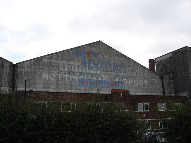
Nottingham Airport
Nottingham Airport (IATA: NQT, ICAO: EGBN), also known as Nottingham City Airport, is located in Tollerton, Nottinghamshire, England. It is situated 3...
Clipston, Nottinghamshire
Clipston, or Clipston on the Wolds, is a small English village and civil parish in the south Nottinghamshire district of Rushcliffe. It lies between Cotgrave...

Church of St Mary the Virgin, Plumtree
The Church of St Mary the Virgin, Plumtree is a parish church in the Church of England in Plumtree, Nottinghamshire. The church is Grade II listed by the...
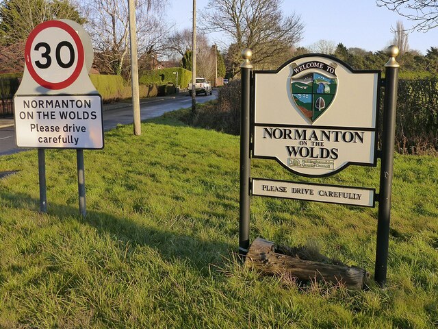
Normanton-on-the-Wolds
Normanton-on-the-Wolds is a small village in Nottinghamshire, England. Population in 2011 was 245. Acreage 1053. == Overview == The name "Normanton" (Norwegian...
Related Videos

英國旅遊 諾丁漢城市機場Nottingham City Airport EGBN | 免費入場觀飛行|免費停車 | 咖啡簡餐 #Nottingham City Airport #旅遊 #飛機 #生活
在Nottingham City Airport可以看小飛機飛行,免費停車,費入觀看。一旁有咖啡簡餐不怕餓。想家庭半日遊可前往。 注意:小孩要 ...


Nearby Amenities
Located within 500m of 52.907535,-1.0810954Have you been to Decennial Wood?
Leave your review of Decennial Wood below (or comments, questions and feedback).