Bu Water

Lake, Pool, Pond, Freshwater Marsh in Shetland

Scotland

Bu Water

The Whalsay ferry, MV Linga, leaving Symbister pier Bound for Laxo on Shetland Mainland.
The Whalsay ferry, MV Linga, leaving Symbister pier Credit: David Purchase

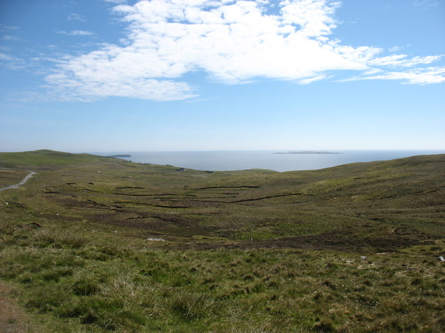
Bu Water is a picturesque freshwater loch located in the Shetland Islands, Scotland. With its tranquil surroundings and abundant wildlife, it serves as a popular destination for nature enthusiasts and photographers alike. Spanning an area of approximately 50 acres, Bu Water is surrounded by rolling hills and lush vegetation, creating a serene and idyllic setting.

The loch itself is characterized by its crystal-clear waters, which reflect the ever-changing colors of the sky. Its depth varies, with some areas measuring up to 20 feet deep, providing a diverse habitat for a wide range of aquatic creatures. Bu Water is home to several species of fish, including brown trout and Arctic char, attracting anglers from far and wide.

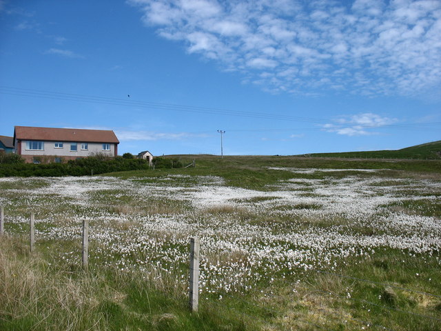
The shores of Bu Water are adorned with a variety of plant life, such as reeds, rushes, and water lilies, which thrive in the nutrient-rich waters. These plants not only enhance the loch's natural beauty but also provide food and shelter for numerous bird species. Visitors can often spot common waterfowl, such as mallards and tufted ducks, as well as more elusive birds like the great crested grebe and the red-throated diver.

Surrounding the loch, there is a small marshy area, teeming with life. Freshwater marsh plants, such as sedges and bulrushes, create a unique ecosystem, attracting an array of insects, amphibians, and small mammals. This marshland also serves as a vital breeding ground for many species of dragonflies and damselflies, adding to the biodiversity of the area.

Overall, Bu Water in Shetland is a captivating freshwater habitat, offering visitors an opportunity to immerse themselves in the beauty of nature while observing a diverse array of flora and fauna.

If you have any feedback on the listing, please let us know in the comments section below.
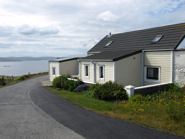
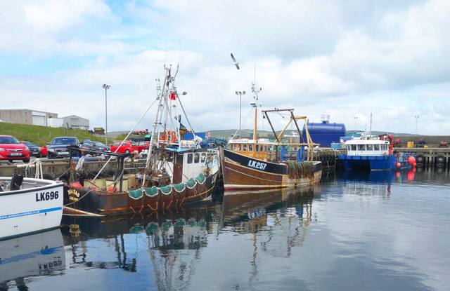
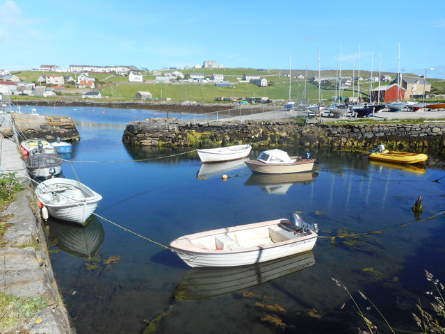
Bu Water Images

Images are sourced within 2km of 60.338271/-1.0082386 or Grid Reference HU5461. Thanks to Geograph Open Source API. All images are credited.

The Whalsay ferry, MV Linga, leaving Symbister pier Bound for Laxo on Shetland Mainland.
The Whalsay ferry, MV Linga, leaving Symbister pier
Bound for Laxo on Shetland Mainland.
Southern Whalsay Looking from near the summit of Ward of Clett across to the uninhabited islet of East Linga in the distance.
Southern Whalsay
Looking from near the summit of Ward of Clett across to the uninhabited islet of East Linga in the distance.
The summit of Ward of Clett, Whalsay Well, this is what everyone would think is the summit. But the purists maintain that the true highest point is a little way to the north-east, at HU55046148.
The summit of Ward of Clett, Whalsay
Well, this is what everyone would think is the summit. But the purists maintain that the true highest point is a little way to the north-east, at HU55046148.
Descending to Clate On the way down from Ward of Clett, the highest point on Whalsay.
Descending to Clate
On the way down from Ward of Clett, the highest point on Whalsay.
Loch of Huxter, Whalsay One of four lochs on Whalsay of similar size. I would estimate that this is the largest.
Loch of Huxter, Whalsay
One of four lochs on Whalsay of similar size. I would estimate that this is the largest.
The valley of the Falsa Burn Looking out to sea from near Huxter. I suspect that, had the weather not been so dry for the last month, this ground would be very damp.
The valley of the Falsa Burn
Looking out to sea from near Huxter. I suspect that, had the weather not been so dry for the last month, this ground would be very damp.
A field at Marrister, Whalsay Daisies in profusion.
A field at Marrister, Whalsay
Daisies in profusion.
North Voe, Symbister, Whalsay Is there a South Voe? Not on the map, but I could well imagine that the harbour where the ferry from Mainland comes in has this name.
North Voe, Symbister, Whalsay
Is there a South Voe? Not on the map, but I could well imagine that the harbour where the ferry from Mainland comes in has this name.
Otter House An Otter House, Point of Gruid, Symbister Ness, Whalsay.
Otter House
An Otter House, Point of Gruid, Symbister Ness, Whalsay.
A Cottage A Cottage at the turning space, Clate, Whalsay
A Cottage
A Cottage at the turning space, Clate, Whalsay
Rocks and Old Iron, Loch of Huxter A beautiful small loch near Symbister. The thing on the rock looks like part of an old stove.
Rocks and Old Iron, Loch of Huxter
A beautiful small loch near Symbister. The thing on the rock looks like part of an old stove.
Loch of Huxter
Loch of Huxter
Whalsay Leisure Centre
View at Symbister The eastern part of Symbister. Sodom, according to the map.
View at Symbister
The eastern part of Symbister. Sodom, according to the map.
Pier House Museum, Symbister Whalsay's most photographed building. The museum details Shetland's connections with the Hanseatic League, from a time when trade links with Europe didn't generate so much hot air. <span class="nowrap"><a title="https://en.wikipedia.org/wiki/Pier_House_Museum" rel="nofollow ugc noopener" href="https://en.wikipedia.org/wiki/Pier_House_Museum">Link</a><img style="margin-left:2px;" alt="External link" title="External link - shift click to open in new window" src="https://s1.geograph.org.uk/img/external.png" width="10" height="10"/></span>
Pier House Museum, Symbister
Whalsay's most photographed building. The museum details Shetland's connections with the Hanseatic League, from a time when trade links with Europe didn't generate so much hot air. LinkExternal link
Fishing Boats, Symbister
Symbister House A mansion built in 1823 for the owners of Whalsay, the Bruce family. According to this article <span class="nowrap"><a title="https://en.wikipedia.org/wiki/Symbister_House" rel="nofollow ugc noopener" href="https://en.wikipedia.org/wiki/Symbister_House">Link</a><img style="margin-left:2px;" alt="External link" title="External link - shift click to open in new window" src="https://s1.geograph.org.uk/img/external.png" width="10" height="10"/></span> they were an obnoxious bunch.
The house is now used by Whalsay secondary school.
Symbister House
A mansion built in 1823 for the owners of Whalsay, the Bruce family. According to this article LinkExternal link they were an obnoxious bunch. The house is now used by Whalsay secondary school.
Small Boat Harbour, Symbister In a corner of the main harbour is an inner haven for small craft.
Small Boat Harbour, Symbister
In a corner of the main harbour is an inner haven for small craft.
Show me another place!

Bu Water is located at Grid Ref: HU5461 (Lat: 60.338271, Lng: -1.0082386)

Unitary Authority: Shetland Islands

Police Authority: Highlands and Islands

What 3 Words

///satin.relished.sourcing. Near Symbister, Shetland Islands

Related Wikis

Sodom, Shetland

Sodom (known locally as Sudheim) is a settlement on Whalsay, Shetland. The name is a corruption of the Old Norse SuĂ°heim meaning "south home". It was formerly...

Symbister House

Symbister House is a former country house in Symbister, Whalsay island, in the Shetland islands of Scotland. It was built in 1823 by the Bruce family who...

Sandwick, Whalsay

Sandwick is a hamlet, often considered part of the main village of Symbister along with adjacent Harlsdale, in the parish of Nesting in southwestern Whalsay...

Clate

Clate (also known as Clett) is a hamlet and ward in southwestern Whalsay in the parish of Nesting in the Shetland Islands of Scotland. == Geography... ==
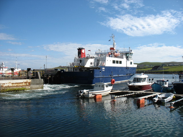
Symbister

Symbister is the largest village and port on Whalsay, an island in the Shetland archipelago of Scotland. The population in 1991 was 797. The focus of the...

Saltness

Saltness is a hamlet in southwestern Whalsay in the parish of Nesting in the Shetland Islands of Scotland. It lies in the northern part of Symbister, just...

Loch of Huxter

Loch of Huxter is a loch of southeastern Whalsay, Shetland Islands, Scotland, to the southwest of the village of Huxter. There is a water pumping station...

Pier House Museum

The Pier House Museum is a museum in Symbister, Whalsay, in the Shetland Islands of Scotland. The museum is located in the old Pier House, which was once...

Nearby Amenities

Located within 500m of 60.338271,-1.0082386
Barrier: cattle_grid
Lat/Long: 60.3411702/-1.011568
Whitefield
Is In: Shetland
Place: hamlet
Source: OS OpenData StreetView
Lat/Long: 60.3414234/-1.0044494
Barrier: cattle_grid
Lat/Long: 60.3413673/-1.00955
Saeter
Place: hamlet
Lat/Long: 60.340964/-1.0128868
Power: pole
Lat/Long: 60.3415859/-1.0038204
Power: pole
Lat/Long: 60.3405396/-1.0091858
Power: pole
Lat/Long: 60.3411461/-1.0086946
Power: pole
Lat/Long: 60.3416685/-1.0082616
Power: pole
Lat/Long: 60.3422411/-1.0078033
Power: pole
Lat/Long: 60.3414505/-1.0139258
Power: pole
Lat/Long: 60.3412563/-1.0135814
The data included in this document is from www.openstreetmap.org. The data is made available under ODbL.

Have you been to Bu Water?

Leave your review of Bu Water below (or comments, questions and feedback).