Sandwick

Settlement in Shetland

Scotland

Sandwick

The Whalsay ferry, MV Linga, leaving Symbister pier Bound for Laxo on Shetland Mainland.
The Whalsay ferry, MV Linga, leaving Symbister pier Credit: David Purchase

Sandwick is a small village located on the east coast of the Shetland Mainland in Scotland. It is situated approximately 12 miles south of the capital, Lerwick, and is home to a population of around 1,000 residents. The village is nestled between the beautiful St. Magnus Bay and the rolling hills of the surrounding countryside.

Sandwick is known for its stunning natural landscapes, with picturesque beaches, rugged cliffs, and an abundance of wildlife. The area offers numerous outdoor activities, making it a popular destination for nature enthusiasts and hikers. The nearby Sands of Breckon is a particularly scenic beach, offering panoramic views of the North Atlantic Ocean.

The village itself has a charming and close-knit community, with a range of amenities and services for locals and visitors alike. These include a primary school, a community hall, a post office, and a convenience store. The Sandwick Social Club is a hub for social activities and events, providing a gathering place for residents to come together and enjoy various recreational activities.

Sandwick also has a rich cultural heritage, with several historical sites and landmarks in the area. The St. Magnus Church, built in 1862, is a prominent feature of the village. The Sandwick Cemetery, dating back to the 18th century, is a testament to the area's history and serves as a final resting place for generations of Sandwick residents.

Overall, Sandwick is a tranquil and picturesque village, offering a peaceful retreat in the heart of Shetland's natural beauty.

If you have any feedback on the listing, please let us know in the comments section below.
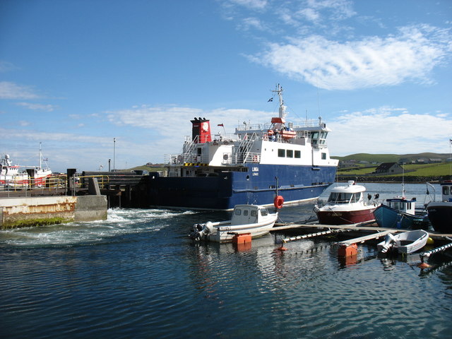
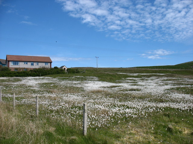
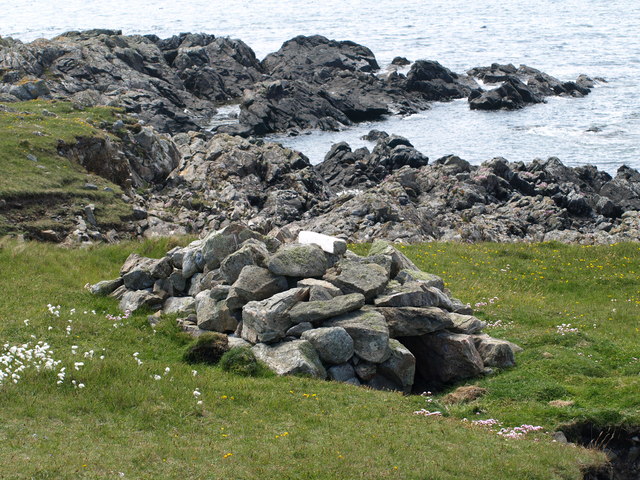
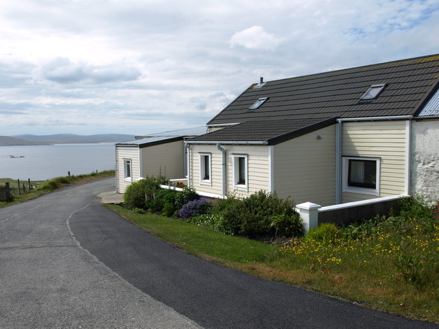
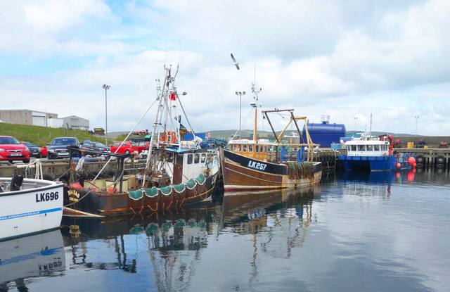
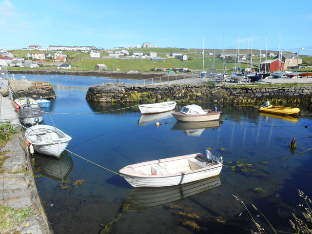
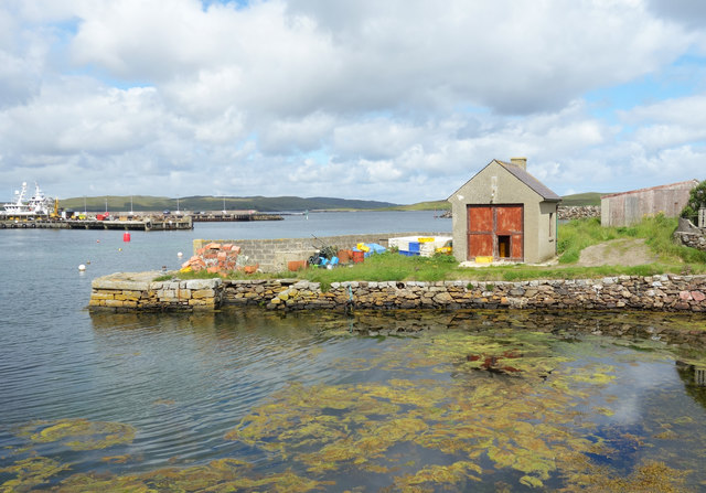
Sandwick Images

Images are sourced within 2km of 60.336209/-1.0207268 or Grid Reference HU5461. Thanks to Geograph Open Source API. All images are credited.

The Whalsay ferry, MV Linga, leaving Symbister pier Bound for Laxo on Shetland Mainland.
The Whalsay ferry, MV Linga, leaving Symbister pier
Bound for Laxo on Shetland Mainland.
Southern Whalsay Looking from near the summit of Ward of Clett across to the uninhabited islet of East Linga in the distance.
Southern Whalsay
Looking from near the summit of Ward of Clett across to the uninhabited islet of East Linga in the distance.
The summit of Ward of Clett, Whalsay Well, this is what everyone would think is the summit. But the purists maintain that the true highest point is a little way to the north-east, at HU55046148.
The summit of Ward of Clett, Whalsay
Well, this is what everyone would think is the summit. But the purists maintain that the true highest point is a little way to the north-east, at HU55046148.
Descending to Clate On the way down from Ward of Clett, the highest point on Whalsay.
Descending to Clate
On the way down from Ward of Clett, the highest point on Whalsay.
Loch of Huxter, Whalsay One of four lochs on Whalsay of similar size. I would estimate that this is the largest.
Loch of Huxter, Whalsay
One of four lochs on Whalsay of similar size. I would estimate that this is the largest.
A field at Marrister, Whalsay Daisies in profusion.
A field at Marrister, Whalsay
Daisies in profusion.
North Voe, Symbister, Whalsay Is there a South Voe? Not on the map, but I could well imagine that the harbour where the ferry from Mainland comes in has this name.
North Voe, Symbister, Whalsay
Is there a South Voe? Not on the map, but I could well imagine that the harbour where the ferry from Mainland comes in has this name.
Otter House An Otter House, Point of Gruid, Symbister Ness, Whalsay.
Otter House
An Otter House, Point of Gruid, Symbister Ness, Whalsay.
A Cottage A Cottage at the turning space, Clate, Whalsay
A Cottage
A Cottage at the turning space, Clate, Whalsay
Rocks and Old Iron, Loch of Huxter A beautiful small loch near Symbister. The thing on the rock looks like part of an old stove.
Rocks and Old Iron, Loch of Huxter
A beautiful small loch near Symbister. The thing on the rock looks like part of an old stove.
Loch of Huxter
Loch of Huxter
Whalsay Leisure Centre
View at Symbister The eastern part of Symbister. Sodom, according to the map.
View at Symbister
The eastern part of Symbister. Sodom, according to the map.
Pier House Museum, Symbister Whalsay's most photographed building. The museum details Shetland's connections with the Hanseatic League, from a time when trade links with Europe didn't generate so much hot air. <span class="nowrap"><a title="https://en.wikipedia.org/wiki/Pier_House_Museum" rel="nofollow ugc noopener" href="https://en.wikipedia.org/wiki/Pier_House_Museum">Link</a><img style="margin-left:2px;" alt="External link" title="External link - shift click to open in new window" src="https://s1.geograph.org.uk/img/external.png" width="10" height="10"/></span>
Pier House Museum, Symbister
Whalsay's most photographed building. The museum details Shetland's connections with the Hanseatic League, from a time when trade links with Europe didn't generate so much hot air. LinkExternal link
Fishing Boats, Symbister
Symbister House A mansion built in 1823 for the owners of Whalsay, the Bruce family. According to this article <span class="nowrap"><a title="https://en.wikipedia.org/wiki/Symbister_House" rel="nofollow ugc noopener" href="https://en.wikipedia.org/wiki/Symbister_House">Link</a><img style="margin-left:2px;" alt="External link" title="External link - shift click to open in new window" src="https://s1.geograph.org.uk/img/external.png" width="10" height="10"/></span> they were an obnoxious bunch.
The house is now used by Whalsay secondary school.
Symbister House
A mansion built in 1823 for the owners of Whalsay, the Bruce family. According to this article LinkExternal link they were an obnoxious bunch. The house is now used by Whalsay secondary school.
Small Boat Harbour, Symbister In a corner of the main harbour is an inner haven for small craft.
Small Boat Harbour, Symbister
In a corner of the main harbour is an inner haven for small craft.
The Next Hut Along I am standing beside the historic and much photographed Pier House Museum looking towards a similar location just a short distance away which also features a building on a small stone pier. The scene is somewhat less picturesque.
The Next Hut Along
I am standing beside the historic and much photographed Pier House Museum looking towards a similar location just a short distance away which also features a building on a small stone pier. The scene is somewhat less picturesque.
Show me another place!

Sandwick is located at Grid Ref: HU5461 (Lat: 60.336209, Lng: -1.0207268)

Unitary Authority: Shetland Islands

Police Authority: Highlands and Islands

What 3 Words

///eyepieces.slice.weaned. Near Symbister, Shetland Islands

Related Wikis

Sandwick, Whalsay

Sandwick is a hamlet, often considered part of the main village of Symbister along with adjacent Harlsdale, in the parish of Nesting in southwestern Whalsay...

Clate

Clate (also known as Clett) is a hamlet and ward in southwestern Whalsay in the parish of Nesting in the Shetland Islands of Scotland. == Geography... ==

Symbister House

Symbister House is a former country house in Symbister, Whalsay island, in the Shetland islands of Scotland. It was built in 1823 by the Bruce family who...

Symbister

Symbister is the largest village and port on Whalsay, an island in the Shetland archipelago of Scotland. The population in 1991 was 797. The focus of the...

Pier House Museum

The Pier House Museum is a museum in Symbister, Whalsay, in the Shetland Islands of Scotland. The museum is located in the old Pier House, which was once...

Sodom, Shetland

Sodom (known locally as Sudheim) is a settlement on Whalsay, Shetland. The name is a corruption of the Old Norse SuĂ°heim meaning "south home". It was formerly...

Holm of Sandwick

The Holm of Sandwick is an islet, located roughly 100 metres (330 ft) off Haa Ness and the southwestern side of Whalsay, in the Shetland Islands of Scotland...

Saltness

Saltness is a hamlet in southwestern Whalsay in the parish of Nesting in the Shetland Islands of Scotland. It lies in the northern part of Symbister, just...

Nearby Amenities

Located within 500m of 60.336209,-1.0207268
Sandwick
Is In: Shetland
Place: hamlet
Source: OS OpenData StreetView
Lat/Long: 60.3355299/-1.0207787
Post Office
Symbister Post Office
Addr City: Shetland
Addr Postcode: ZE2 9AA
Brand: Post Office
Brand Wikidata: Q1783168
Opening Hours: Mo,Tu,Th,Fr 09:00-13:00,14:00-17:30; We 09:00-13:00; Sa 09:00-12:30
Ref Pol Id: 2610
Source: os_opendata_streetview
Website: https://www.postoffice.co.uk/branch-finder/1428497/symbister
Lat/Long: 60.3375072/-1.0196554
Man Made: tower
Tower Type: communication
Lat/Long: 60.3372318/-1.020071
Post Box
Operator: Royal Mail
Ref: ZE2 100
Lat/Long: 60.3374805/-1.0198844
Shop: convenience
Lat/Long: 60.3374354/-1.0197316
Barrier: cattle_grid
Lat/Long: 60.3364565/-1.0228863
Wirlie
Place: hamlet
Lat/Long: 60.3347946/-1.0153707
Power: pole
Lat/Long: 60.3333155/-1.0146575
Power: pole
Lat/Long: 60.3335962/-1.0151437
Power: pole
Lat/Long: 60.3339747/-1.0158122
Power: pole
Lat/Long: 60.3344258/-1.0165844
Power: pole
Lat/Long: 60.3348682/-1.0173263
Power: pole
Lat/Long: 60.3353306/-1.0181062
Power: pole
Lat/Long: 60.3357479/-1.0188253
Power: pole
Lat/Long: 60.3362316/-1.019633
Power: pole
Lat/Long: 60.334377/-1.01702
Power: pole
Lat/Long: 60.3345912/-1.0152045
Power: pole
Lat/Long: 60.3357128/-1.0191722
Power: pole
Lat/Long: 60.3379208/-1.0202129
Power: pole
Lat/Long: 60.3381902/-1.0211041
Power: pole
Lat/Long: 60.3382529/-1.0211067
Power: pole
Lat/Long: 60.3388807/-1.0212029
Power: pole
Lat/Long: 60.3394358/-1.0215321
Power: pole
Lat/Long: 60.3396187/-1.0216485
Power: pole
Lat/Long: 60.3396312/-1.0210712
Power: pole
Lat/Long: 60.3395974/-1.0224385
Power: pole
Lat/Long: 60.3395648/-1.0238767
Power: pole
Lat/Long: 60.3393443/-1.0247756
Power: pole
Lat/Long: 60.3389809/-1.0263303
Power: pole
Lat/Long: 60.3388706/-1.0269127
Power: pole
Lat/Long: 60.3386526/-1.0280496
Power: pole
Lat/Long: 60.3394094/-1.0207674
Power: pole
Lat/Long: 60.3393881/-1.0198938
Power: pole
Lat/Long: 60.3393468/-1.0190633
Power: pole
Lat/Long: 60.3395159/-1.0187848
Power: pole
Lat/Long: 60.3401287/-1.0207952
Power: pole
Lat/Long: 60.3404707/-1.0205876
Power: pole
Lat/Long: 60.3398756/-1.0246642
The data included in this document is from www.openstreetmap.org. The data is made available under ODbL.

Have you been to Sandwick?

Leave your review of Sandwick below (or comments, questions and feedback).