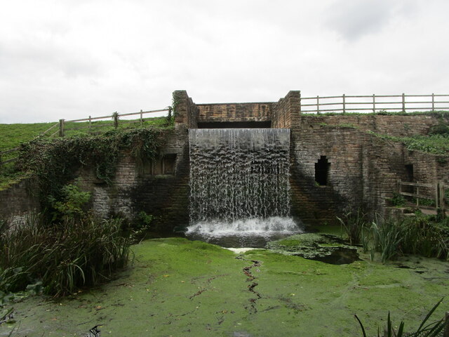
Eagle Pond
Lake, Pool, Pond, Freshwater Marsh in Nottinghamshire Gedling
England
Eagle Pond
Eagle Pond is a small freshwater pond located in the county of Nottinghamshire, England. Situated in the heart of the countryside, it is a popular destination for nature enthusiasts and locals looking for a peaceful retreat.
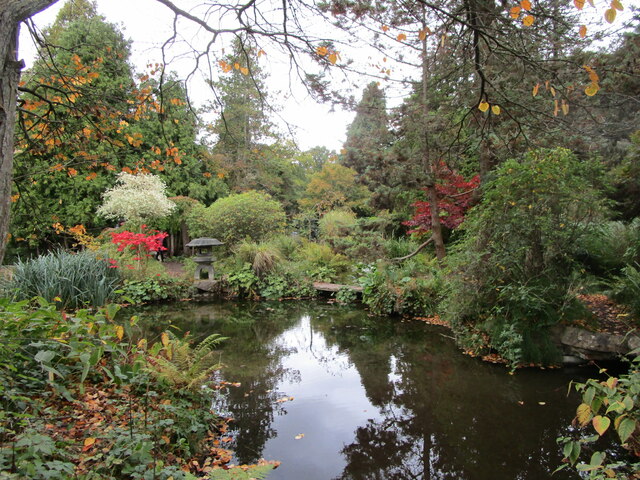
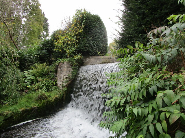
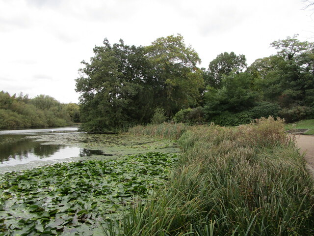
Covering an area of approximately 2 acres, Eagle Pond is surrounded by lush greenery and abundant wildlife. The pond itself is fed by natural springs, ensuring a constant flow of fresh water. The water is clear and inviting, making it an ideal habitat for various species of fish and aquatic plants.
Surrounding the pond is a diverse ecosystem consisting of a mix of marshland and wetland vegetation. This creates a rich and fertile environment, attracting a wide range of bird species, including herons, ducks, and kingfishers. The pond also serves as a breeding ground for amphibians such as frogs and newts.
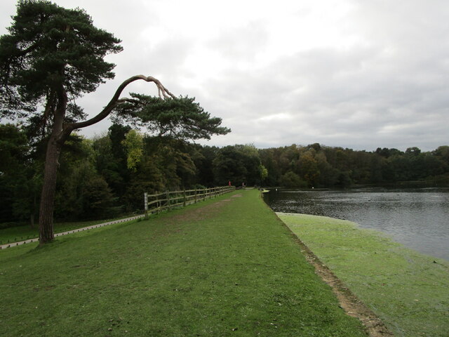
The area around Eagle Pond has been carefully maintained to preserve its natural beauty. There are designated walking trails that allow visitors to explore the area and observe the wildlife up close. Additionally, benches and picnic areas have been installed, providing a perfect spot for relaxation and birdwatching.
Eagle Pond is not only a haven for wildlife, but it also serves as an important educational resource. Local schools and nature organizations often organize field trips to the pond to teach students about the importance of freshwater ecosystems and the need for conservation.
Overall, Eagle Pond is a picturesque and ecologically significant freshwater body that offers tranquility and natural beauty to those who visit.
If you have any feedback on the listing, please let us know in the comments section below.
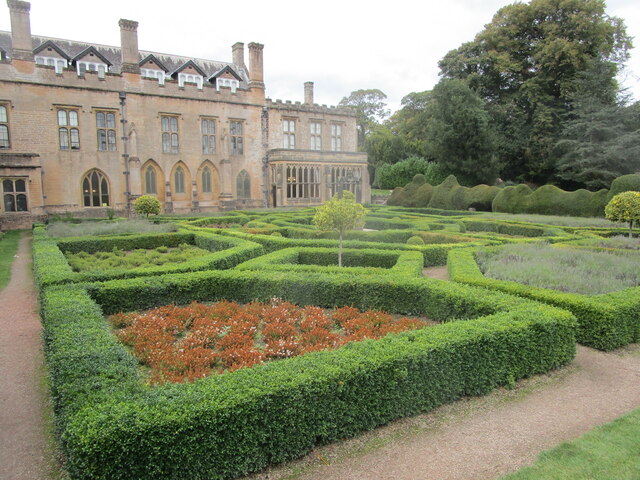
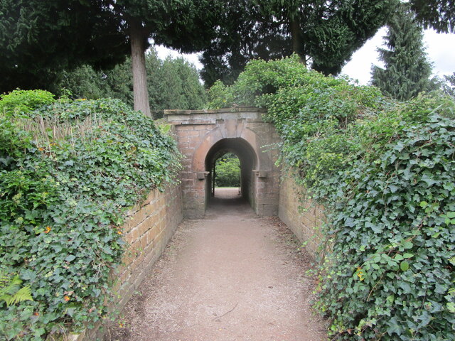
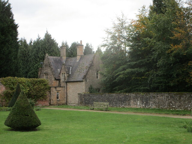
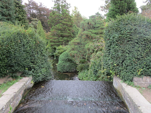
Eagle Pond Images
Images are sourced within 2km of 53.078514/-1.1910765 or Grid Reference SK5453. Thanks to Geograph Open Source API. All images are credited.


Eagle Pond is located at Grid Ref: SK5453 (Lat: 53.078514, Lng: -1.1910765)
Administrative County: Nottinghamshire
District: Gedling
Police Authority: Nottinghamshire
What 3 Words
///diary.tentacles.mull. Near Ravenshead, Nottinghamshire
Nearby Locations
Related Wikis

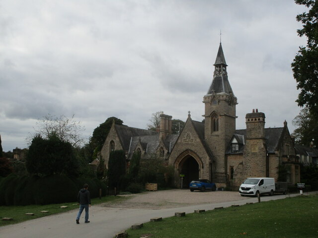
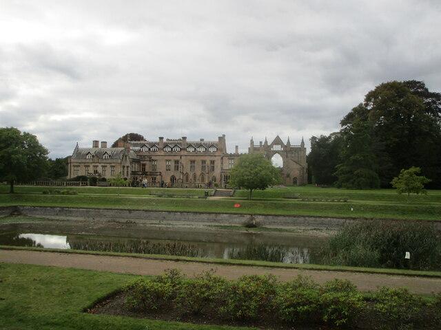
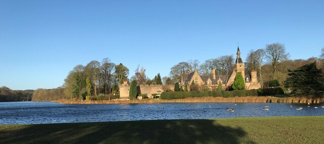
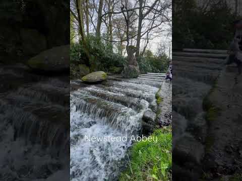
Newstead Abbey
Newstead Abbey, in Nottinghamshire, England, was formerly an Augustinian priory. Converted to a domestic home following the Dissolution of the Monasteries...
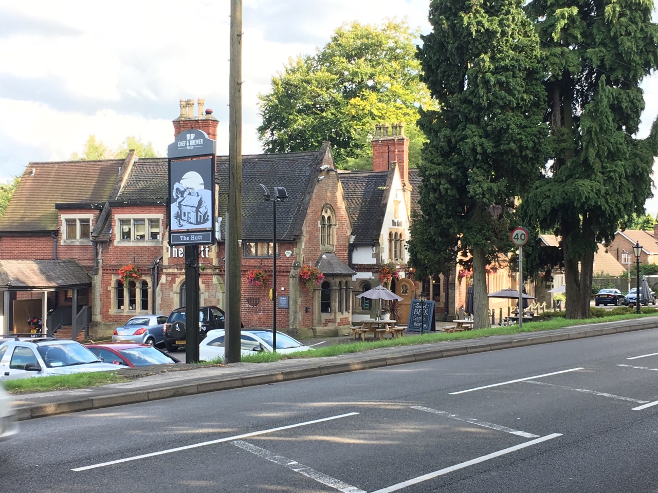
The Hutt
The Hutt is a public house located in the village of Ravenshead in Nottinghamshire, opposite Newstead Abbey. The pub was built on the site of The Royal...
Ravenshead
Ravenshead is a large village and civil parish in the Gedling district of Nottinghamshire, England. It borders Papplewick, Newstead Abbey and Blidworth...

Annesley South Junction Halt railway station
Annesley South Junction Halt is a former halt on the Great Central Railway on the section between Nottingham Victoria and Sheffield Victoria. The halt...

Newstead and Annesley railway station
Newstead and Annesley railway station was a station on the Great Northern Railway's Nottingham to Shirebrook line. == History == == Present day == No trace...

Papplewick Hall
Papplewick Hall is a Grade I listed English country house in Papplewick, Nottinghamshire. == History == It was completed around 1787 for the Hon. Frederick...
Hidden Valleys
Hidden Valleys is a name, coined in 2004, used to describe an area of interesting historical and scenic value between the city of Nottingham and the town...
Notts Golf Club
Notts Golf Club, more commonly referred to simply as Hollinwell, is an 18-hole members golf club in Nottinghamshire, England which has hosted a number...
Related Videos

Newstead Abbey Teaser Trailer - Hiking UK
Highlight of my recent hike that includes a quick visit to Newstead Abbey, full video to follow. LINK TO FULL VIDEO ...


Nearby Amenities
Located within 500m of 53.078514,-1.1910765Have you been to Eagle Pond?
Leave your review of Eagle Pond below (or comments, questions and feedback).