Devil's Wood
Wood, Forest in Nottinghamshire Gedling
England
Devil's Wood
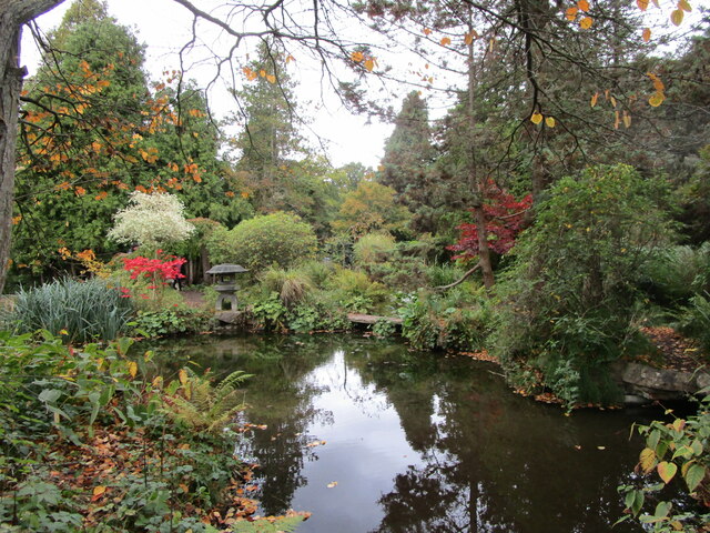
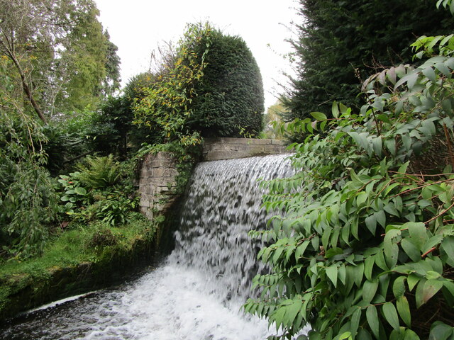
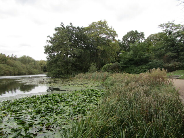
Devil's Wood, located in Nottinghamshire, England, is a picturesque woodland area steeped in history and folklore. Covering an expanse of approximately 50 acres, this forest is known for its dense canopy, ancient trees, and diverse wildlife.
The wood derives its name from the local folklore that claims it to be haunted by the devil himself. According to the legend, the devil was said to have made a pact with a local witch, and as a result, the woodland became an eerie and foreboding place. However, despite its ominous name, Devil's Wood is a popular destination for nature enthusiasts and hikers.
The woodland is dominated by a variety of tree species, including oak, beech, and birch, which provide shelter and sustenance for a wide range of flora and fauna. It is not uncommon to spot deer, foxes, and various bird species while exploring the area. The forest floor is carpeted with bluebells, ferns, and other wildflowers, adding to the natural beauty of the wood.
Devil's Wood is also home to several walking trails and footpaths, allowing visitors to explore the area and enjoy the peaceful ambiance. The wood is particularly enchanting during the autumn months when the foliage turns vibrant shades of red, orange, and gold.
Overall, Devil's Wood in Nottinghamshire offers a harmonious blend of natural beauty, local folklore, and recreational opportunities, making it a must-visit destination for nature lovers and those seeking a touch of mystery.
If you have any feedback on the listing, please let us know in the comments section below.
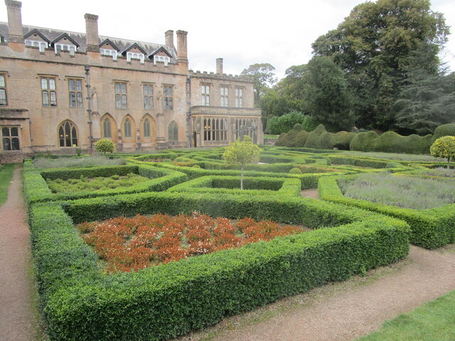
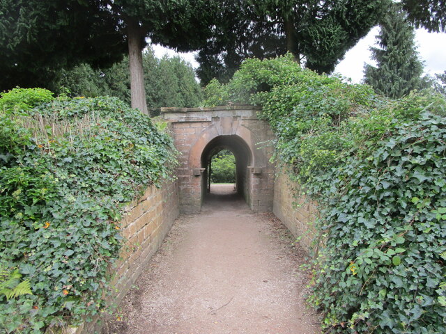
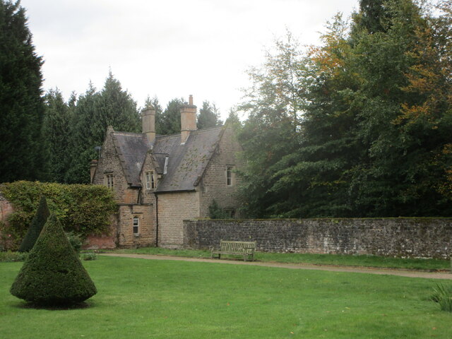
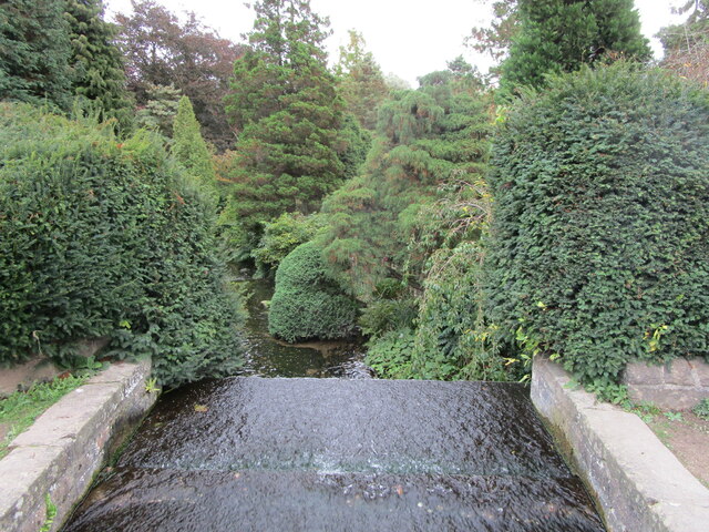
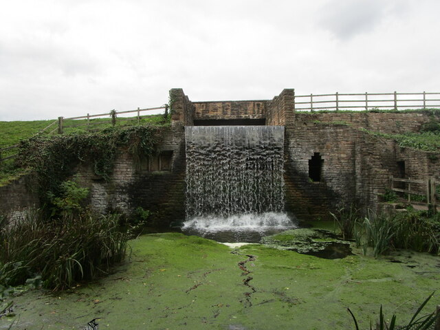
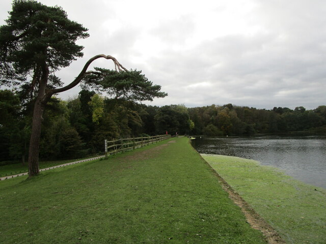
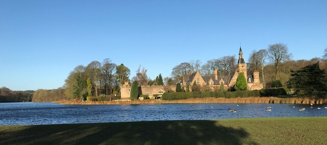
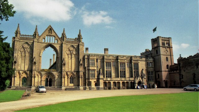
Devil's Wood Images
Images are sourced within 2km of 53.078463/-1.1902564 or Grid Reference SK5453. Thanks to Geograph Open Source API. All images are credited.


Devil's Wood is located at Grid Ref: SK5453 (Lat: 53.078463, Lng: -1.1902564)
Administrative County: Nottinghamshire
District: Gedling
Police Authority: Nottinghamshire
What 3 Words
///cucumber.dragonfly.gazes. Near Ravenshead, Nottinghamshire
Nearby Locations
Related Wikis

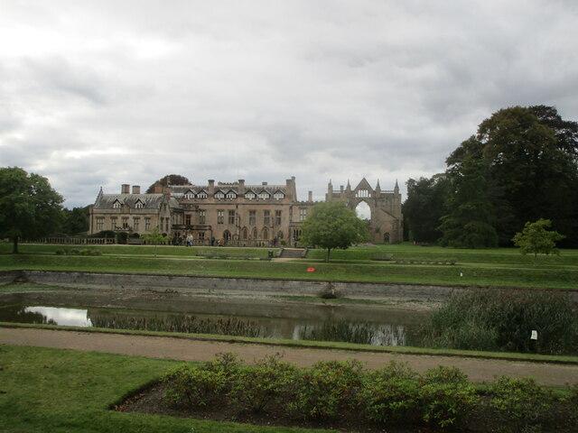
Newstead Abbey
Newstead Abbey, in Nottinghamshire, England, was formerly an Augustinian priory. Converted to a domestic home following the Dissolution of the Monasteries...
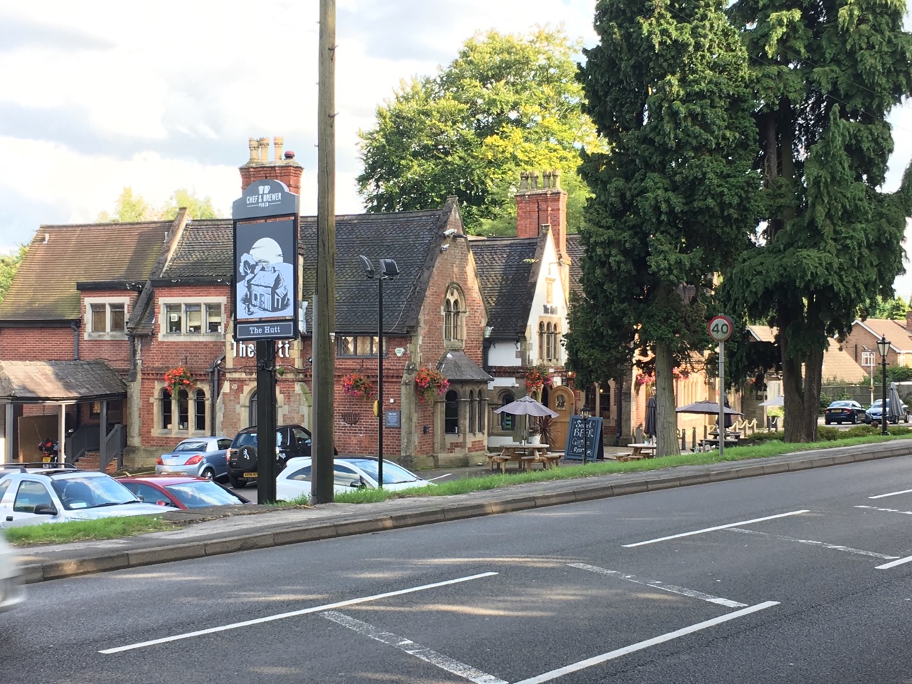
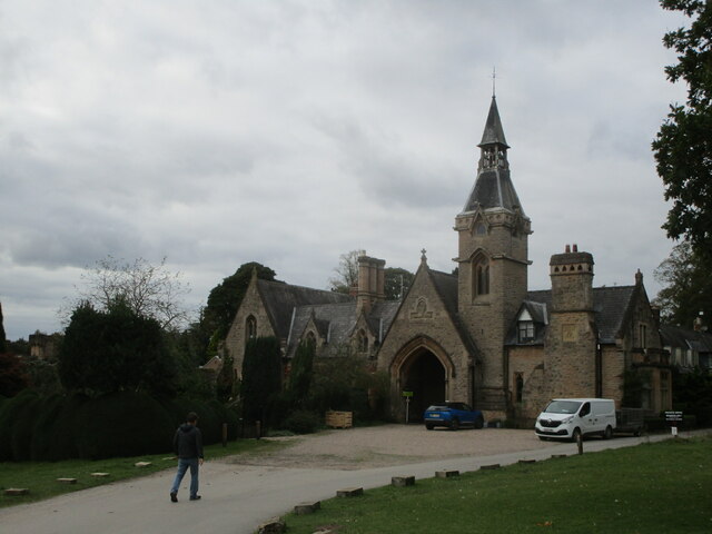
The Hutt
The Hutt is a public house located in the village of Ravenshead in Nottinghamshire, opposite Newstead Abbey. The pub was built on the site of The Royal...
Ravenshead
Ravenshead is a large village and civil parish in the Gedling district of Nottinghamshire, England. It borders Papplewick, Newstead Abbey and Blidworth...

Annesley South Junction Halt railway station
Annesley South Junction Halt is a former halt on the Great Central Railway on the section between Nottingham Victoria and Sheffield Victoria. The halt...

Papplewick Hall
Papplewick Hall is a Grade I listed English country house in Papplewick, Nottinghamshire. == History == It was completed around 1787 for the Hon. Frederick...

Newstead and Annesley railway station
Newstead and Annesley railway station was a station on the Great Northern Railway's Nottingham to Shirebrook line. == History == == Present day == No trace...
Hidden Valleys
Hidden Valleys is a name, coined in 2004, used to describe an area of interesting historical and scenic value between the city of Nottingham and the town...
Notts Golf Club
Notts Golf Club, more commonly referred to simply as Hollinwell, is an 18-hole members golf club in Nottinghamshire, England which has hosted a number...
Nearby Amenities
Located within 500m of 53.078463,-1.1902564Have you been to Devil's Wood?
Leave your review of Devil's Wood below (or comments, questions and feedback).