Grove Spinney
Wood, Forest in Northamptonshire
England
Grove Spinney
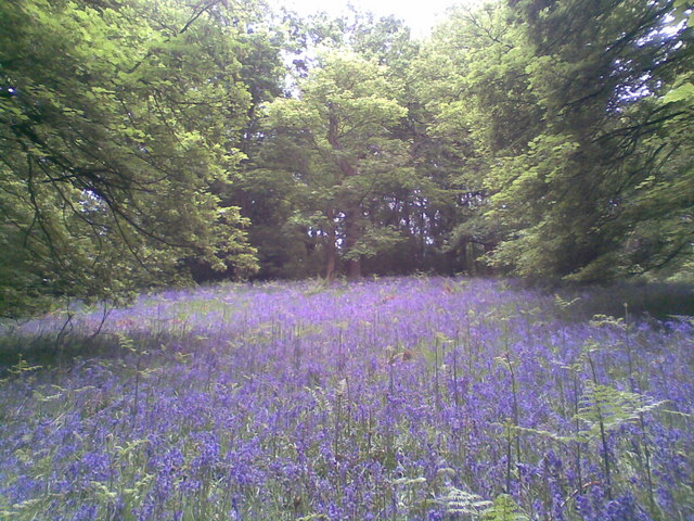
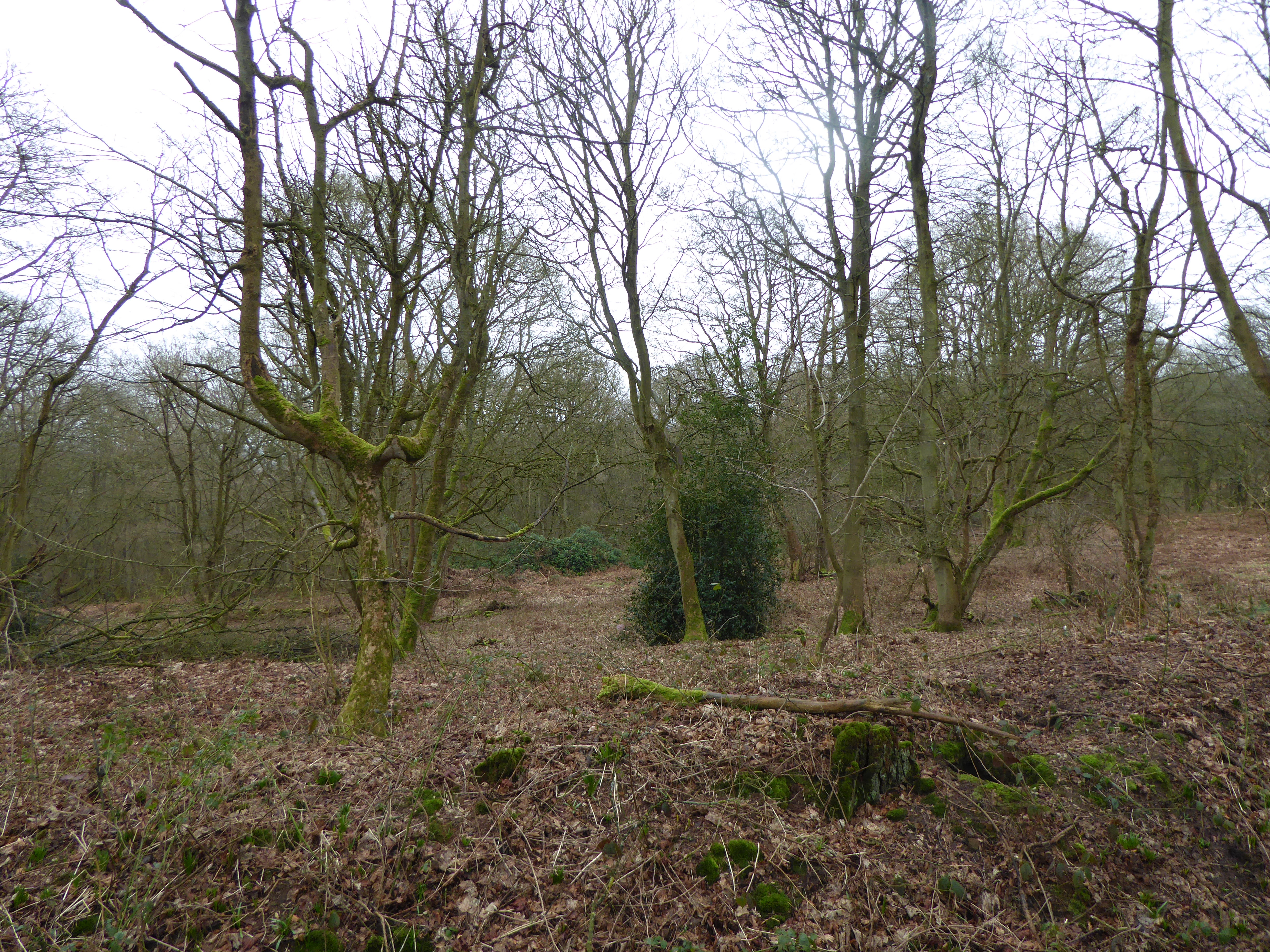
Grove Spinney is a picturesque woodland located in Northamptonshire, England. With its sprawling trees and lush greenery, it is often referred to as a hidden gem for nature enthusiasts and hikers alike. Spanning approximately 50 acres, this woodland is a haven for wildlife and offers a tranquil escape from the hustle and bustle of city life.
The woodland is primarily composed of various species of trees, including oak, beech, and birch, which create a dense canopy overhead. This canopy provides shade during the summer months and a vibrant array of colors in the autumn. The forest floor is covered in a thick carpet of moss and ferns, offering a soft and delicate underfoot experience.
Grove Spinney is home to a diverse range of flora and fauna. The woodland provides a habitat for numerous bird species, including woodpeckers, owls, and various songbirds. Squirrels, rabbits, and foxes can also be spotted among the trees. Additionally, the woodland is home to a variety of insect species, making it an excellent location for bug enthusiasts.
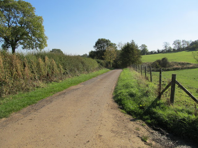
The woodland is crisscrossed by well-maintained footpaths, providing visitors with the opportunity to explore its beauty and discover hidden nooks and crannies. There are also several picnic areas and benches scattered throughout the woodland, allowing visitors to relax and enjoy the peaceful ambiance.
Grove Spinney is a cherished natural gem in Northamptonshire, offering a tranquil and idyllic escape for those seeking solace in nature. Its diverse range of flora and fauna, well-maintained footpaths, and serene atmosphere make it a must-visit destination for individuals of all ages.
If you have any feedback on the listing, please let us know in the comments section below.
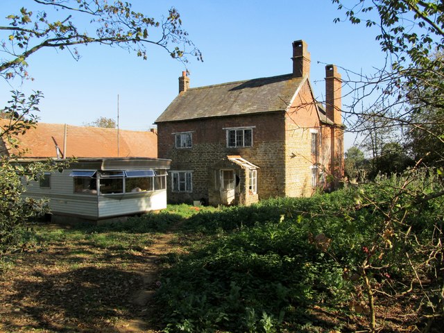
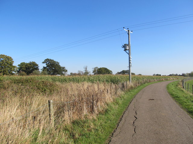
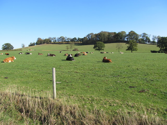
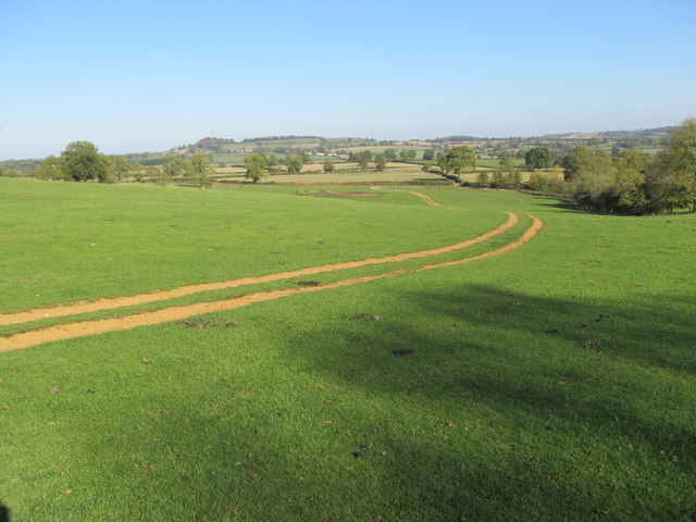
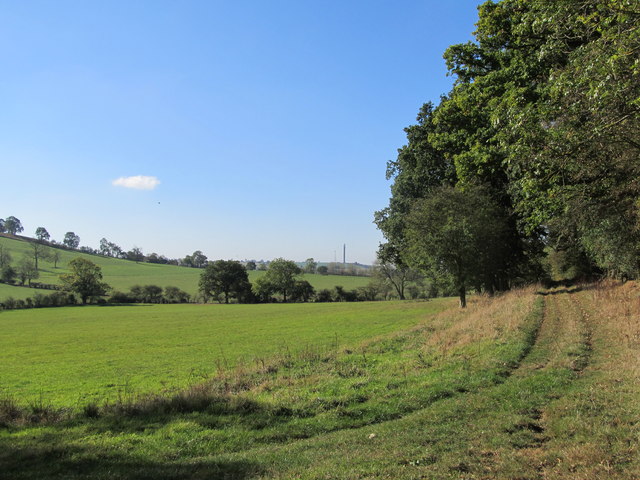
Grove Spinney Images
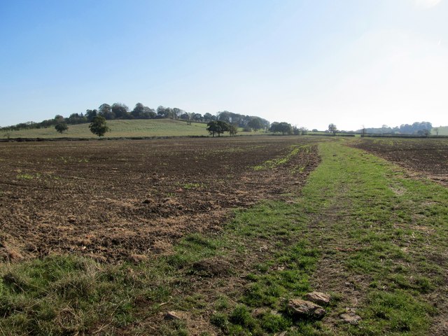
Images are sourced within 2km of 52.217271/-1.2060341 or Grid Reference SP5457. Thanks to Geograph Open Source API. All images are credited.


Grove Spinney is located at Grid Ref: SP5457 (Lat: 52.217271, Lng: -1.2060341)
Unitary Authority: West Northamptonshire
Police Authority: Northamptonshire
What 3 Words
///plot.templates.wide. Near Byfield, Northamptonshire
Nearby Locations
Related Wikis

Arbury Hill
Arbury Hill, at 225 m (738 ft), is the joint highest point in the English county of Northamptonshire. It is 9 km (5.6 mi) southwest of the town of Daventry...

Catesby Tunnel
Catesby Tunnel is a disused railway tunnel in Northamptonshire on the route of the former Great Central Main Line. Its northern portal is about 1,100 yards...
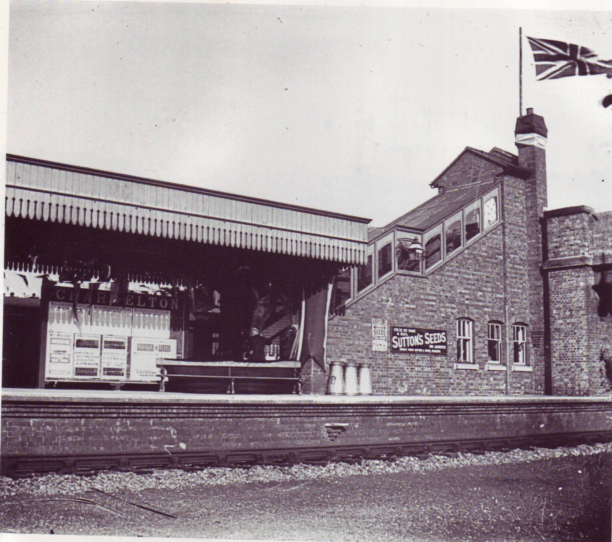
Charwelton railway station
Charwelton railway station was a station at Charwelton in Northamptonshire on the former Great Central Railway main line, the last main line to be built...
Badby Wood
Badby Wood is a 47.2-hectare (117-acre) biological Site of Special Scientific Interest (SSSI) south of Badby in Northamptonshire.This is ancient semi-natural...
Nearby Amenities
Located within 500m of 52.217271,-1.2060341Have you been to Grove Spinney?
Leave your review of Grove Spinney below (or comments, questions and feedback).