Backwater
Lake, Pool, Pond, Freshwater Marsh in Nottinghamshire
England
Backwater

The requested URL returned error: 429 Too Many Requests
If you have any feedback on the listing, please let us know in the comments section below.
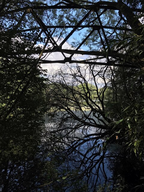
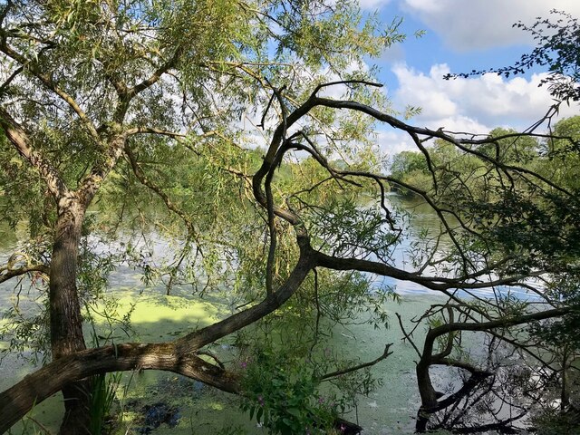
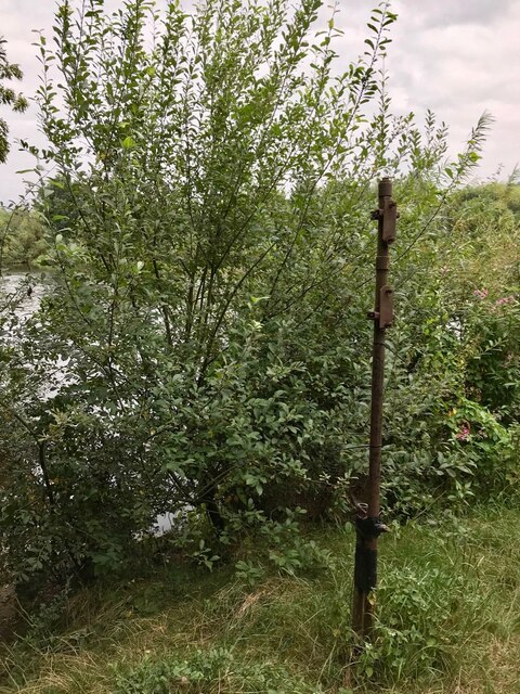
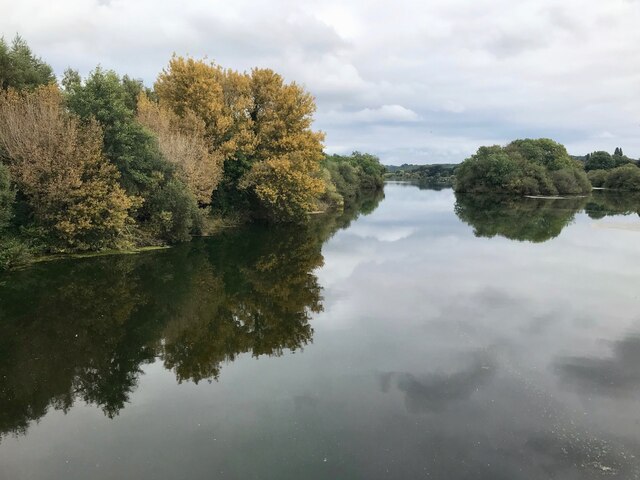
Backwater Images
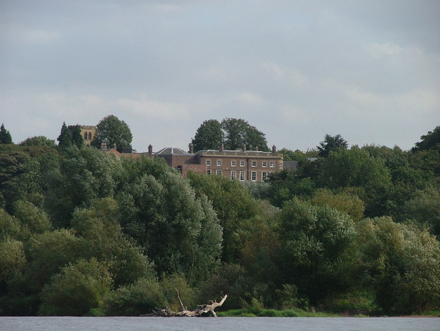
Images are sourced within 2km of 52.910714/-1.2119601 or Grid Reference SK5335. Thanks to Geograph Open Source API. All images are credited.


Backwater is located at Grid Ref: SK5335 (Lat: 52.910714, Lng: -1.2119601)
Unitary Authority: Nottingham
Police Authority: Nottinghamshire
What 3 Words
///cakes.over.cook. Near Long Eaton, Derbyshire
Nearby Locations
Related Wikis

Beeston Hydro
Beeston Hydro is a small hydroelectric scheme, in Beeston, Nottinghamshire. It is located on the River Trent, and generates up to 1.66 MW of electricity...
Clifton Hall Girls' Grammar School
Clifton Hall Girls' Grammar School was a girls grammar school at Clifton Hall, in Clifton, Nottingham. == History == Clifton Hall, which has been around...

Meadow Road, Beeston
Meadow Road was a cricket ground in Beeston, Nottinghamshire. The first recorded match on the ground was in 1867, when the Gentlemen of Nottinghamshire...
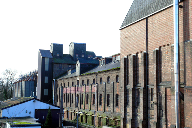
Beeston Brewery Company
The Beeston Brewery Company (also known as the Beeston Brewery and Malting Company) was a brewery based in Beeston, Nottinghamshire, England that opened...
Nearby Amenities
Located within 500m of 52.910714,-1.2119601Have you been to Backwater?
Leave your review of Backwater below (or comments, questions and feedback).