The Canal
Lake, Pool, Pond, Freshwater Marsh in Yorkshire Hambleton
England
The Canal
The Canal, located in Yorkshire, is a freshwater man-made waterway that serves various purposes, including transportation, irrigation, and recreation. Spanning approximately 200 miles, it is a significant landmark in the region, attracting locals and tourists alike. The Canal primarily acts as a link between several rivers, connecting major cities and towns along its route.
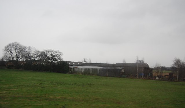
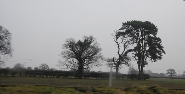
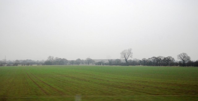
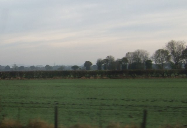
With its calm waters and picturesque surroundings, the Canal is often referred to as a lake, pool, pond, or freshwater marsh due to its diverse habitats. Lined with trees, shrubs, and reeds, the Canal offers a haven for numerous species of birds, fish, and other aquatic creatures. The tranquil atmosphere and abundant wildlife make it a popular spot for birdwatching and nature enthusiasts.
The Canal is also a hub for recreational activities such as boating, kayaking, and fishing. Its calm waters and well-maintained banks provide an ideal setting for leisurely boat rides or fishing trips. Anglers can expect to find a variety of fish species, including perch, pike, roach, and bream, making it a sought-after destination for fishing enthusiasts.
The Canal's banks are well-maintained, featuring walking and cycling paths that run parallel to the water. These paths offer scenic views of the surrounding countryside and provide opportunities for peaceful walks or energetic bike rides.
Overall, the Canal in Yorkshire is a versatile waterway, serving as a transportation route, wildlife habitat, and recreational area. Its scenic beauty, diverse ecosystems, and range of activities make it a cherished destination for both locals and visitors to enjoy the natural wonders of the region.
If you have any feedback on the listing, please let us know in the comments section below.
The Canal Images
Images are sourced within 2km of 54.075913/-1.1901251 or Grid Reference SE5364. Thanks to Geograph Open Source API. All images are credited.

The Canal is located at Grid Ref: SE5364 (Lat: 54.075913, Lng: -1.1901251)
Division: North Riding
Administrative County: North Yorkshire
District: Hambleton
Police Authority: North Yorkshire
What 3 Words
///notes.snore.nourished. Near Easingwold, North Yorkshire
Nearby Locations
Related Wikis

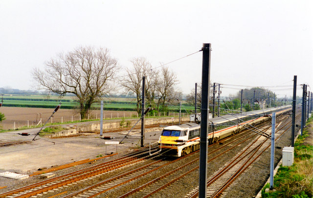
Tollerton railway station
Tollerton railway station served the village of Tollerton, Yorkshire, England from 1841 to 1965 on the East Coast Main Line. == History == The station...
Tollerton, North Yorkshire
Tollerton is a village and civil parish in the Hambleton District of North Yorkshire, England. Tollerton is situated close to both the A19 and the River...

Vale of York (UK Parliament constituency)
Vale of York was a county constituency represented in the House of Commons of the Parliament of the United Kingdom. It elected one Member of Parliament...

Raskelf
Raskelf is a village and civil parish in North Yorkshire, England. The electoral roll has a population of around 400 measured at 519 in the 2011 census...

Emergency Planning College
The Emergency Planning College also known as "the Hawkhills" foremost a college, based in the United Kingdom which is involved in activities to promote...

RAF Shipton
Royal Air Force Shipton (more commonly known as RAF Shipton) was a First World War era airfield located north of the village of Shipton-by-Beningbrough...

Alne railway station
Alne railway station was a station which served the village of Alne in the English county of North Yorkshire. It was served by trains on the main line...
Alne, North Yorkshire
Alne is a village and civil parish in the Hambleton District of North Yorkshire, England, about twelve miles north-west of York and four miles from Easingwold...
Nearby Amenities
Located within 500m of 54.075913,-1.1901251Have you been to The Canal?
Leave your review of The Canal below (or comments, questions and feedback).