Culham Cut

Lake, Pool, Pond, Freshwater Marsh in Oxfordshire South Oxfordshire

England

Culham Cut

Drayton Road Drayton Road B4017 heading to Abingdon
Drayton Road Credit: Shaun Ferguson

Culham Cut, located in Oxfordshire, is a man-made freshwater marsh that stretches between Sutton Courtenay and Culham, near the River Thames. This unique water feature covers an area of approximately 100 acres and serves multiple purposes within the local ecosystem.

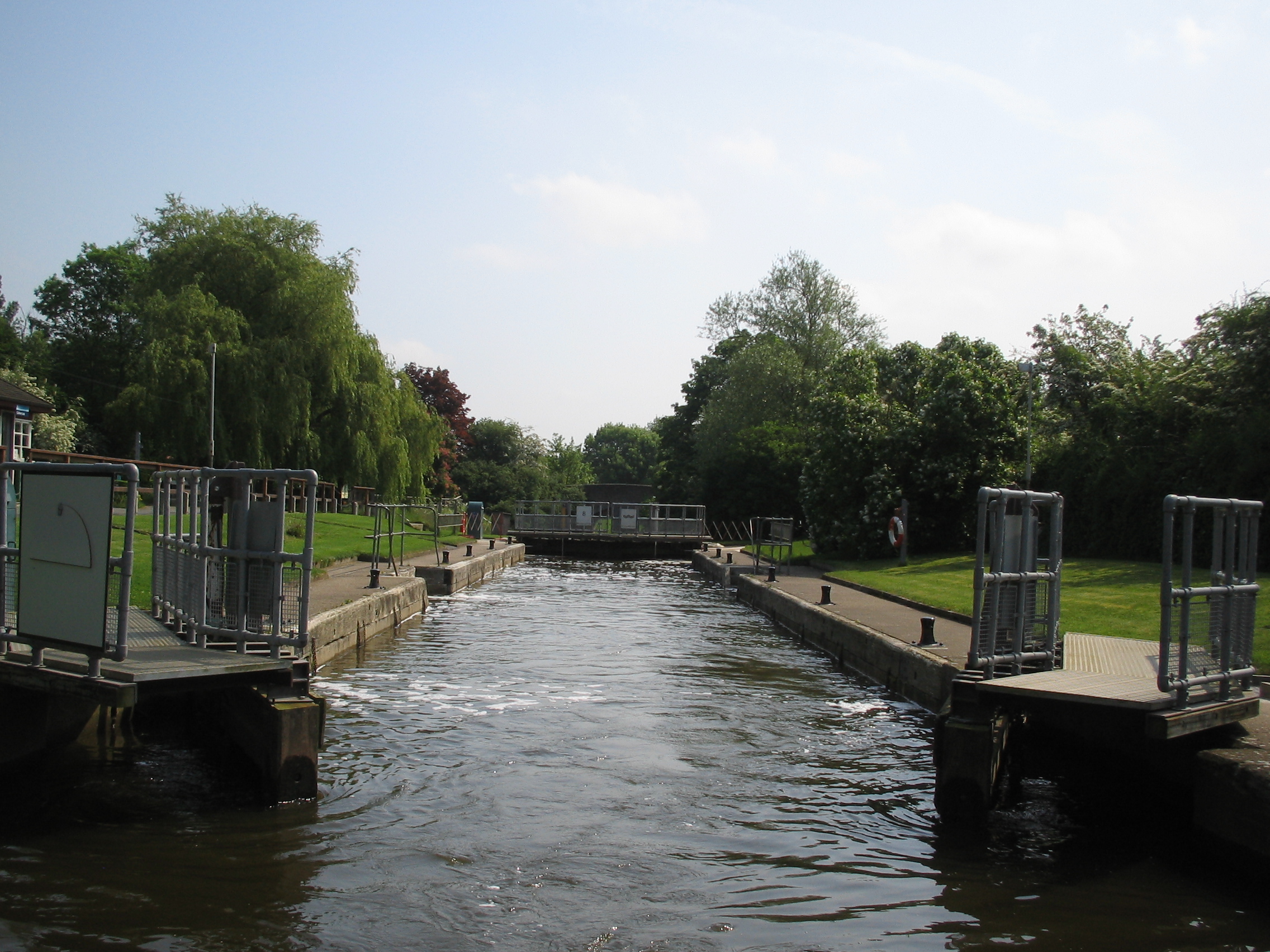
Originally created in the 19th century as part of the Thames Navigation System, Culham Cut was constructed to provide a direct link between the river and the Wilts and Berks Canal. Over time, the canal fell into disuse, and the cut became a tranquil water body surrounded by lush vegetation.

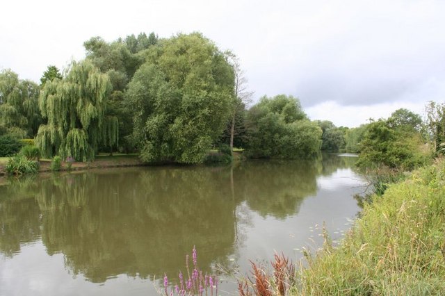
The cut now serves as a crucial habitat for a wide variety of flora and fauna. Its calm waters are home to numerous species of fish, including roach, perch, and pike, making it a popular spot for fishing enthusiasts. The surrounding marshland provides a sanctuary for waterfowl, such as ducks, swans, and herons, as well as insects and amphibians.

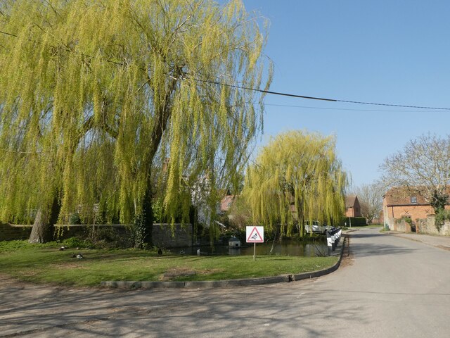
The vegetation around Culham Cut is diverse and includes reed beds, willows, and other water-loving plants. This rich plant life not only adds to the aesthetic appeal of the area but also creates a suitable environment for various bird species to nest and feed.

Aside from its ecological significance, Culham Cut also offers recreational opportunities for visitors. The peaceful surroundings and scenic views make it an ideal location for leisurely walks, birdwatching, and picnicking.

Overall, Culham Cut in Oxfordshire is a captivating freshwater marsh that showcases the beauty of nature while providing a vital habitat for wildlife. Its historical origins and diverse ecosystem make it a cherished destination for both locals and tourists seeking a tranquil escape.

If you have any feedback on the listing, please let us know in the comments section below.

Culham Cut Images

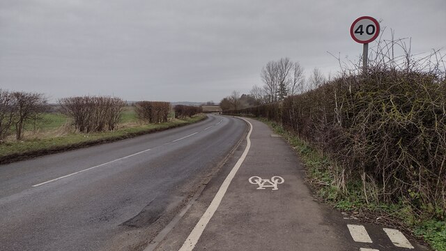
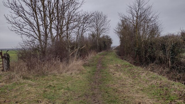
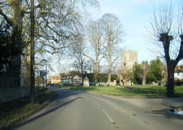
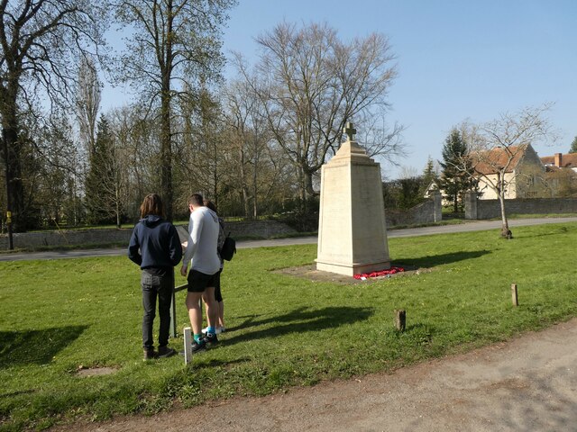
Images are sourced within 2km of 51.650177/-1.28209 or Grid Reference SU4994. Thanks to Geograph Open Source API. All images are credited.

Drayton Road Drayton Road B4017 heading to Abingdon
Drayton Road
Drayton Road B4017 heading to Abingdon
Restricted Byway Restricted Byway heading to New Cut Mill
Restricted Byway
Restricted Byway heading to New Cut Mill
High Street, Drayton
Drayton Road at Sutton Courtenay village boundary
Church Street, The Green and All Saints Church
St Peter, Drayton: late March 2022
Sutton Courtenay War Memorial: late March 2022
Looking north-west in Sutton Wick Lane
St Peter, Drayton: VC commemoration For more about Mott see <span class="nowrap"><a title="http://vconline.org.uk/edward-j-mott-vc/4587677611.html" rel="nofollow ugc noopener" href="http://vconline.org.uk/edward-j-mott-vc/4587677611.html">Link</a><img style="margin-left:2px;" alt="External link" title="External link - shift click to open in new window" src="https://s1.geograph.org.uk/img/external.png" width="10" height="10"/></span>
St Peter, Drayton: VC commemoration
For more about Mott see LinkExternal link
St Peter, Drayton: porch
St Peter, Drayton: tower
St Peter, Drayton: churchyard
St Peter, Drayton: south door
St Peter, Drayton: stained glass window (a)
St Peter, Drayton: stained glass window (b)
St Peter, Drayton: stained glass window (c)
St Peter, Drayton: font
St Peter, Drayton: altar
Show me another place!

Culham Cut is located at Grid Ref: SU4994 (Lat: 51.650177, Lng: -1.28209)

Administrative County: Oxfordshire

District: South Oxfordshire

Police Authority: Thames Valley

What 3 Words

///swung.bright.guess. Near Sutton Courtenay, Oxfordshire

Nearby Locations

Culham Cut

Related Wikis

Nearby Amenities

Located within 500m of 51.650177,-1.28209
Created By: Merkaartor 0.13
Lat/Long: 51.6538095/-1.279478
Created By: Merkaartor 0.13
Lat/Long: 51.6532731/-1.2797784
Created By: Merkaartor 0.13
Lat/Long: 51.6523718/-1.2804436
Created By: Merkaartor 0.13
Lat/Long: 51.6502475/-1.2818169
Created By: Merkaartor 0.13
Lat/Long: 51.6499471/-1.2814736
Created By: Merkaartor 0.13
Lat/Long: 51.6497969/-1.2811946
Created By: Merkaartor 0.13
Lat/Long: 51.6495823/-1.2799286
Created By: Merkaartor 0.13
Lat/Long: 51.6493248/-1.277976
Created By: Merkaartor 0.13
Lat/Long: 51.6492605/-1.2771177
Created By: Merkaartor 0.13
Lat/Long: 51.6493034/-1.2758087
Created By: Merkaartor 0.13
Lat/Long: 51.6494107/-1.2749933
Barrier: block
Lat/Long: 51.6538189/-1.2857075
Barrier: block
Lat/Long: 51.6516179/-1.2879311
Jubilee Junction
Junction: yes
Lat/Long: 51.6508848/-1.2823103
Barrier: kissing_gate
Lat/Long: 51.6511472/-1.2825944
Power: tower
Lat/Long: 51.6523058/-1.2871729
Wilts & Berks Canal
Lock: yes
Lock Name: Jubilee Lock
Planned: canal
Waterway: planned
Lat/Long: 51.651342/-1.284453
Direction: 150
Generator Method: photovoltaic
Generator Output Electricity: yes
Generator Solar Modules: 18
Generator Source: solar
Generator Type: solar_photovoltaic_panel
Location: roof
Power: generator
Lat/Long: 51.6520423/-1.275907
Fixme: solar panels?
Lat/Long: 51.6522033/-1.2758789
Barrier: stile
Lat/Long: 51.6537706/-1.2809508
The data included in this document is from www.openstreetmap.org. The data is made available under ODbL.

Have you been to Culham Cut?

Leave your review of Culham Cut below (or comments, questions and feedback).