Car Ponds
Lake, Pool, Pond, Freshwater Marsh in Derbyshire Bolsover
England
Car Ponds
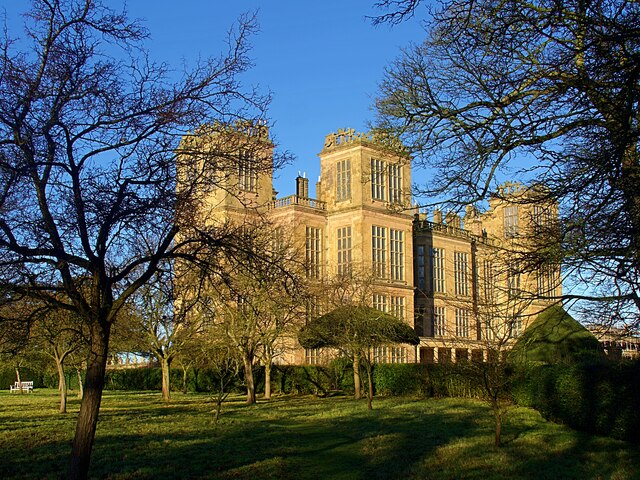
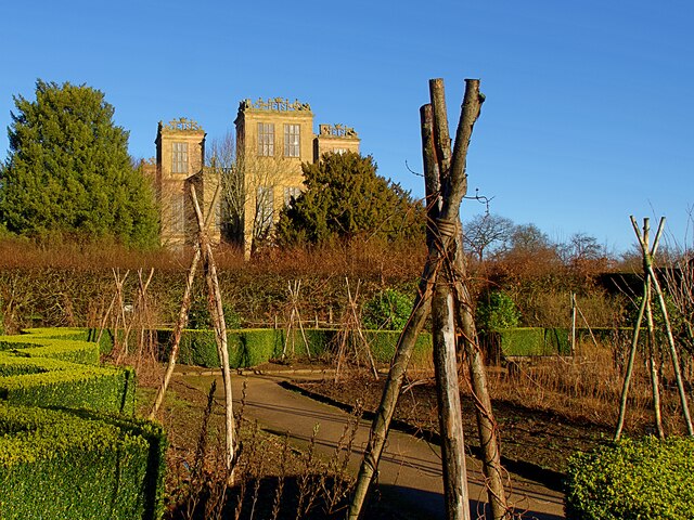
Car Ponds is a picturesque freshwater ecosystem located in the county of Derbyshire, England. Situated amidst the rolling hills and lush greenery, it encompasses a diverse range of aquatic habitats, including lakes, pools, ponds, and a freshwater marsh.
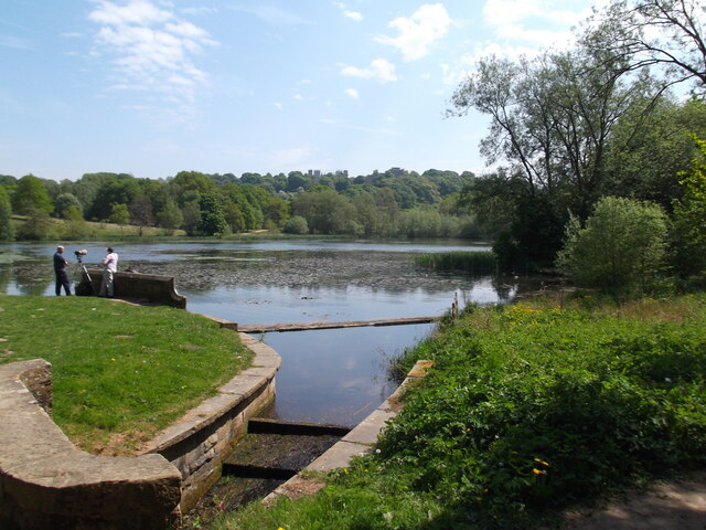
The main lake at Car Ponds is a prominent feature, stretching over a significant area and reflecting the surrounding landscape with its calm and crystal-clear waters. It provides a tranquil setting and attracts a variety of waterfowl, such as ducks, swans, and herons, making it a popular spot for birdwatching enthusiasts.
Adjacent to the lake, there are several smaller pools and ponds, each with its distinct characteristics. These smaller bodies of water support an array of aquatic plants, including water lilies, reeds, and rushes, which provide a habitat for various species of fish, amphibians, and invertebrates. The diverse flora and fauna found in these smaller water bodies contribute to the overall biodiversity of Car Ponds.
One notable feature of Car Ponds is the freshwater marsh situated on its periphery. This marshland is characterized by its waterlogged soil and an abundance of emergent vegetation, such as sedges and cattails. It serves as a crucial habitat for numerous species of birds, reptiles, and insects, providing them with a breeding ground and a source of food.
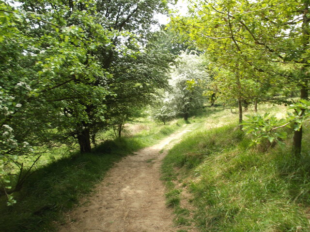
Car Ponds offers visitors a chance to immerse themselves in the beauty of nature and observe the intricate web of life that thrives within these freshwater habitats. Whether it's birdwatching, photography, or simply enjoying a peaceful stroll along the water's edge, Car Ponds provides a serene and captivating experience for all nature enthusiasts.
If you have any feedback on the listing, please let us know in the comments section below.
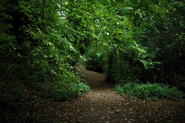
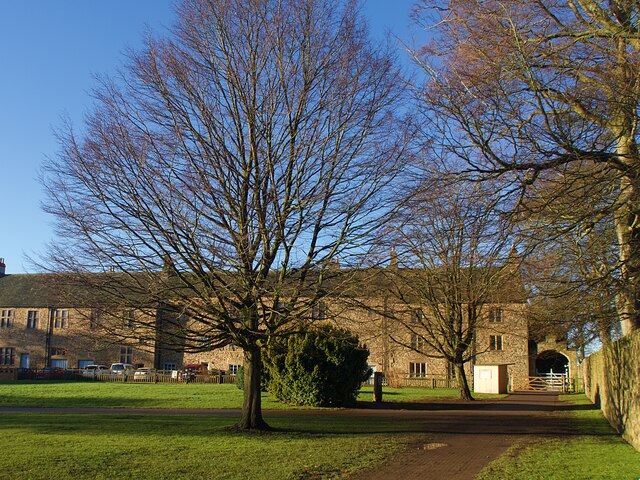
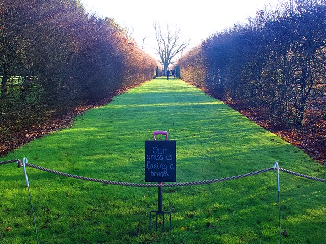
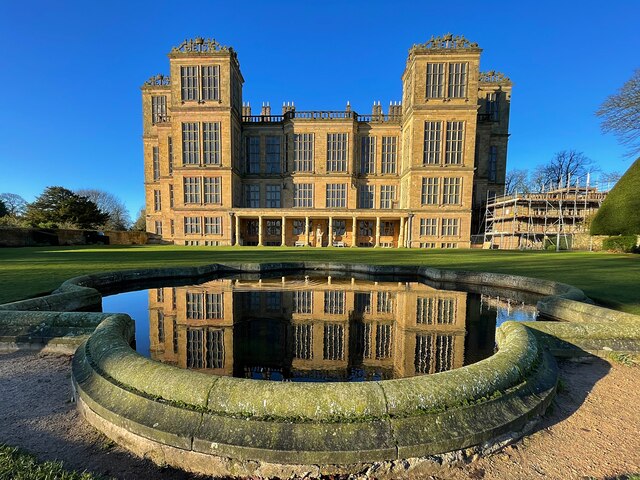
Car Ponds Images
Images are sourced within 2km of 53.175069/-1.2932433 or Grid Reference SK4764. Thanks to Geograph Open Source API. All images are credited.


Car Ponds is located at Grid Ref: SK4764 (Lat: 53.175069, Lng: -1.2932433)
Administrative County: Derbyshire
District: Bolsover
Police Authority: Derbyshire
What 3 Words
///landed.decisions.smile. Near Glapwell, Derbyshire
Nearby Locations
Related Wikis
Rowthorn and Hardwick railway station
Rowthorn and Hardwick is a former railway station in Rowthorn (often written "Rowthorne"), near Glapwell, Derbyshire, England. == Context == The station...
Ault Hucknall
Ault Hucknall (Old English: Hucca's nook of land) is a village and civil parish in the Bolsover district of Derbyshire, England. The population of the...
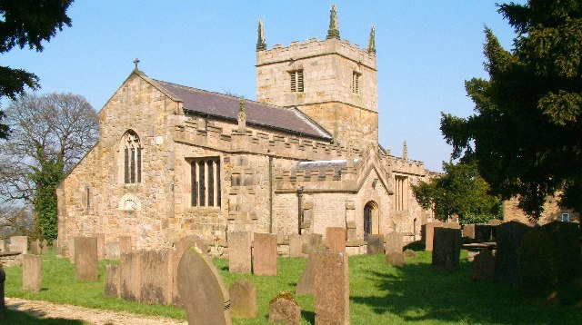
St John the Baptist's Church, Ault Hucknall
St John the Baptist's Church, Ault Hucknall, is a Grade I listed parish church in the Church of England in Ault Hucknall, Derbyshire. == History == The...

Rowthorn Tunnel
Rowthorn Tunnel is a former railway tunnel between Glapwell and Rowthorn and Hardwick stations southeast of Chesterfield, Derbyshire, England. Some sources...
Nearby Amenities
Located within 500m of 53.175069,-1.2932433Have you been to Car Ponds?
Leave your review of Car Ponds below (or comments, questions and feedback).