Car Plantation
Wood, Forest in Derbyshire Bolsover
England
Car Plantation
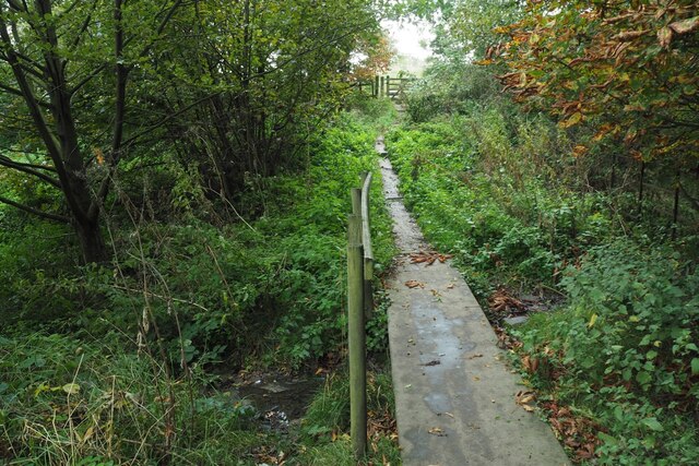
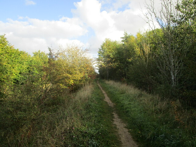
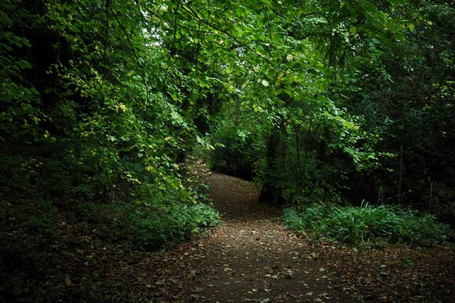
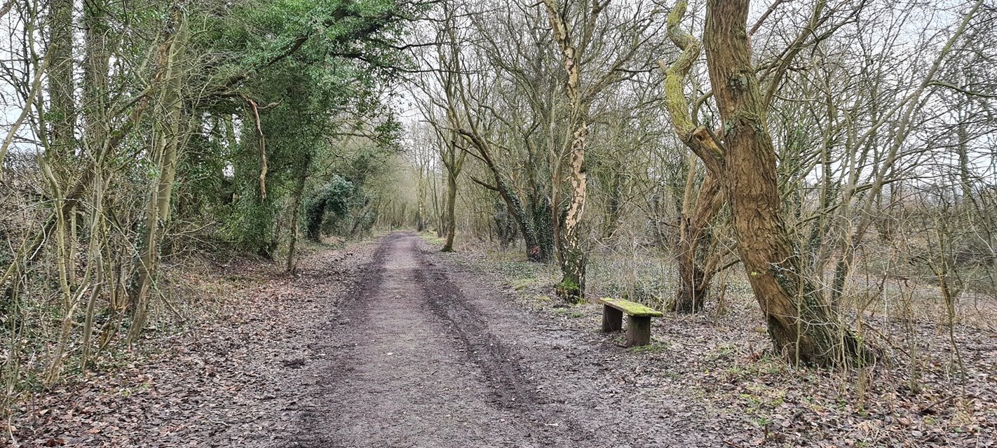
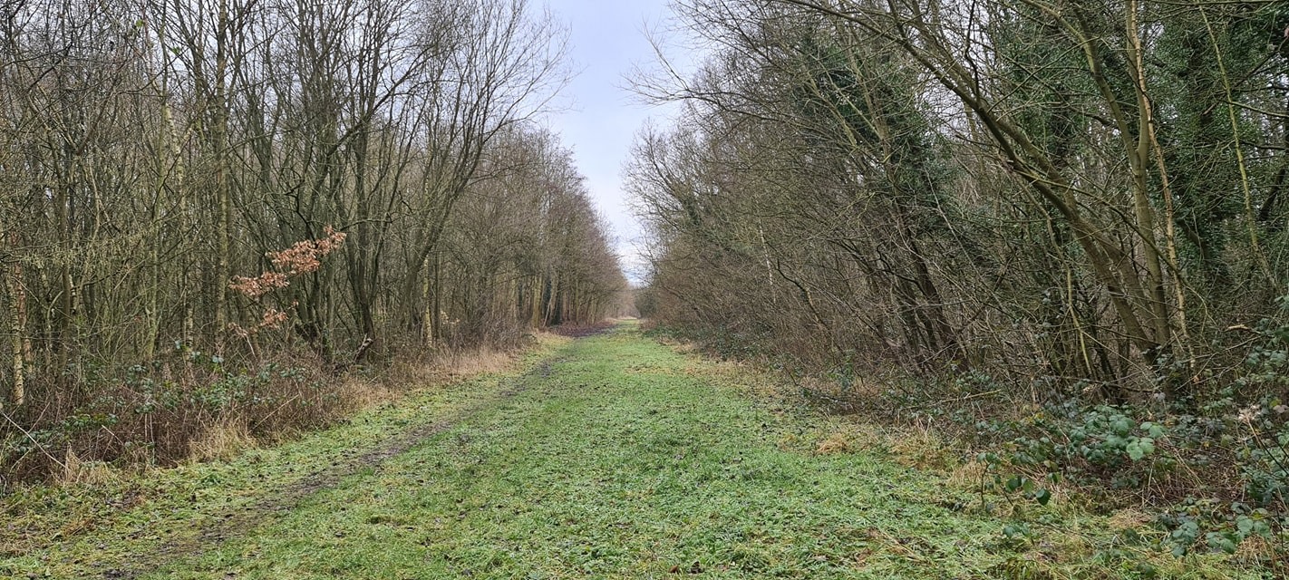
Car Plantation is a quaint and picturesque woodland located in Derbyshire, England. Situated in the heart of the county, this hidden gem covers an area of approximately 50 acres. As its name suggests, the plantation is predominantly filled with a variety of wood and forest trees, creating a serene and peaceful atmosphere for visitors to enjoy.
The woodland is known for its rich biodiversity, with a diverse range of plant and animal species thriving within its boundaries. Visitors can expect to encounter an abundance of native trees such as oak, beech, and birch, as well as numerous shrubs and wildflowers that add vibrant colors to the landscape. The plantation is also home to a variety of wildlife including birds, squirrels, and deer, making it a popular destination for nature enthusiasts and wildlife photographers.
Car Plantation offers a network of well-maintained walking trails, allowing visitors to explore the woodland at their own pace. The trails meander through the trees, providing glimpses of picturesque vistas and tranquil spots for picnics or moments of reflection. For those seeking a more adventurous experience, there are also opportunities for mountain biking and horseback riding in designated areas.
The plantation is easily accessible, with ample parking facilities available nearby. It is open to the public throughout the year, with no admission fees, making it an ideal destination for families, couples, and individuals looking to escape the hustle and bustle of everyday life and immerse themselves in the beauty of nature.
If you have any feedback on the listing, please let us know in the comments section below.
Car Plantation Images
Images are sourced within 2km of 53.175932/-1.2931692 or Grid Reference SK4764. Thanks to Geograph Open Source API. All images are credited.


Car Plantation is located at Grid Ref: SK4764 (Lat: 53.175932, Lng: -1.2931692)
Administrative County: Derbyshire
District: Bolsover
Police Authority: Derbyshire
What 3 Words
///buzzer.suckle.zoos. Near Glapwell, Derbyshire
Nearby Locations
Related Wikis
Rowthorn and Hardwick railway station
Rowthorn and Hardwick is a former railway station in Rowthorn (often written "Rowthorne"), near Glapwell, Derbyshire, England. == Context == The station...
Ault Hucknall
Ault Hucknall (Old English: Hucca's nook of land) is a village and civil parish in the Bolsover district of Derbyshire, England. The population of the...
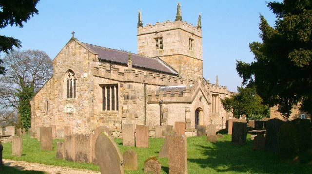
St John the Baptist's Church, Ault Hucknall
St John the Baptist's Church, Ault Hucknall, is a Grade I listed parish church in the Church of England in Ault Hucknall, Derbyshire. == History == The...

Rowthorn Tunnel
Rowthorn Tunnel is a former railway tunnel between Glapwell and Rowthorn and Hardwick stations southeast of Chesterfield, Derbyshire, England. Some sources...

Bramley Vale
Bramley Vale is a village in Derbyshire, England, south of Bolsover. It is in the civil parish of Ault Hucknall. == History == Bramley Vale is a former...

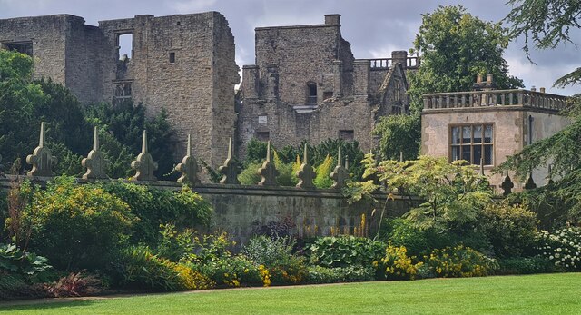
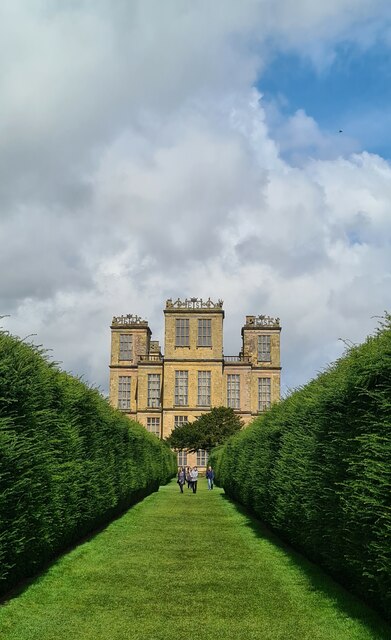
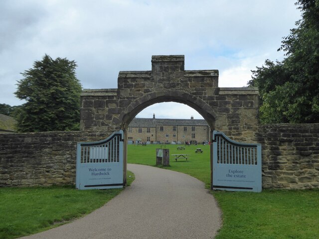
Hardwick Hall
Hardwick Hall in Derbyshire is an architecturally significant country house from the Elizabethan era, a leading example of the Elizabethan prodigy house...

Glapwell
Glapwell is a village and civil parish on the A617 road in the Bolsover District of north-east Derbyshire, between the towns of Chesterfield (7 miles)...
Glapwell railway station
Glapwell is a former railway station in Glapwell, Derbyshire, England. == Context == The station was built by the Midland Railway on the circuitous Barrow...
Nearby Amenities
Located within 500m of 53.175932,-1.2931692Have you been to Car Plantation?
Leave your review of Car Plantation below (or comments, questions and feedback).