Clock Loch

Lake, Pool, Pond, Freshwater Marsh in Shetland

Scotland

Clock Loch

Loch of Benston, South Nesting
Loch of Benston, South Nesting Credit: Mike Pennington

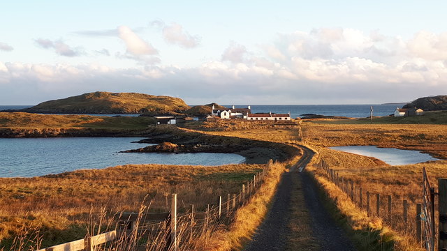
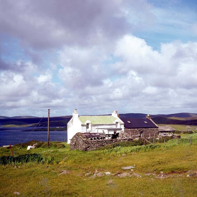
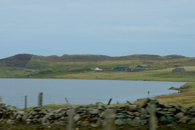
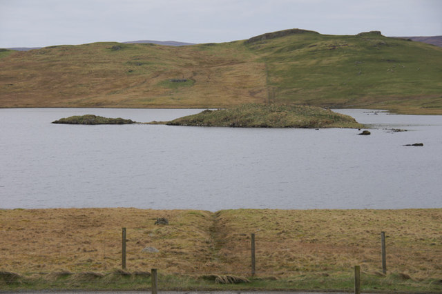
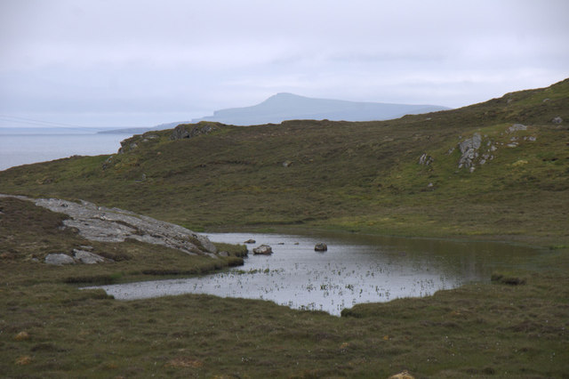
Clock Loch is a picturesque freshwater loch located in the heart of Shetland, an archipelago in Scotland. Situated in the central part of the mainland, Clock Loch covers an area of approximately 100 acres and is surrounded by lush greenery, rolling hills, and captivating wildlife.

The loch is characterized by its calm and tranquil waters, making it an idyllic spot for boating, fishing, and leisurely walks along its shores. The crystal-clear waters of Clock Loch are fed by several small streams that flow into the loch, ensuring a constant supply of fresh water.

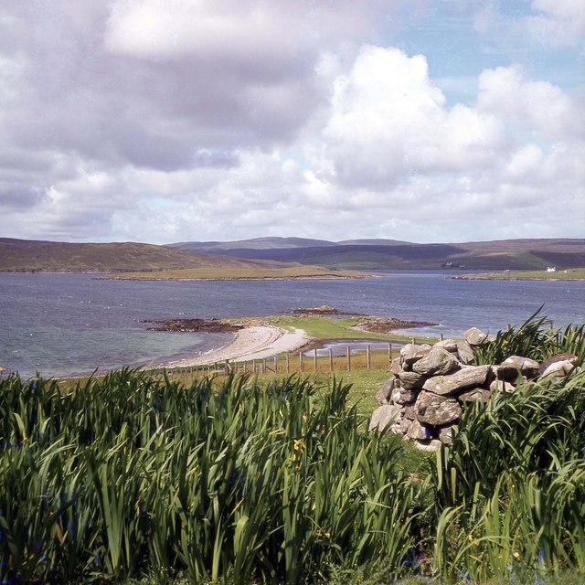
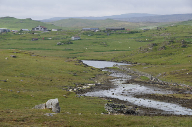
The diverse vegetation surrounding Clock Loch includes reeds, rushes, and various water plants, creating a thriving habitat for an array of birds, mammals, and aquatic creatures. Visitors can often spot an array of bird species, including ducks, geese, swans, and herons, gliding gracefully across the water. The loch is also home to fish such as trout and pike, making it a popular spot for anglers.

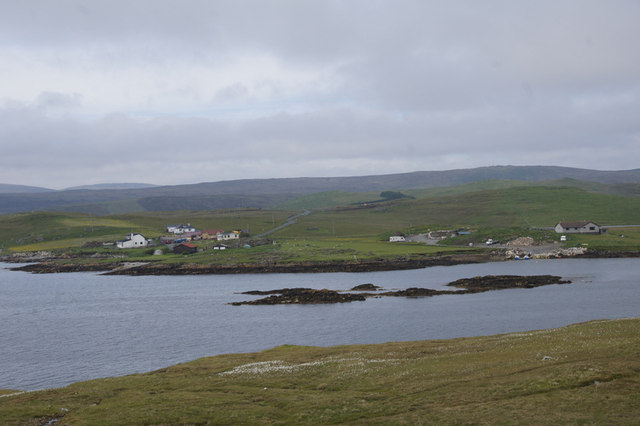
Clock Loch offers breathtaking views, particularly during sunrise and sunset, when the sky is painted with vibrant hues reflecting off the still waters. The surrounding landscape is dotted with heather-covered hills, providing a stunning backdrop to the loch.

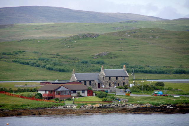
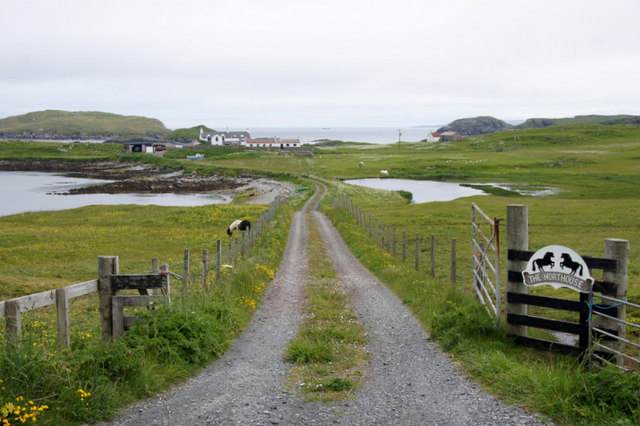
Access to Clock Loch is possible via a nearby road, and there are parking facilities available for visitors. The loch is a cherished destination for nature enthusiasts, photographers, and those seeking a peaceful retreat amidst the unspoiled beauty of Shetland.

If you have any feedback on the listing, please let us know in the comments section below.
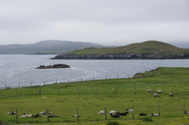
Clock Loch Images

Images are sourced within 2km of 60.252545/-1.1590879 or Grid Reference HU4652. Thanks to Geograph Open Source API. All images are credited.

Loch of Benston, South Nesting
Benston and Garth, South Nesting
Vassa Voe, South Nesting
Northouse, South Nesting
Railsbrough, a croft house
Quoy, Railsbrough
Quoy, Railsbrough
West end of Loch of Benston An angler is in the loch; Nesting Primary School is in the background.
West end of Loch of Benston
An angler is in the loch; Nesting Primary School is in the background.
Loch of Benston Looking towards the Holm of Benston.
Loch of Benston
Looking towards the Holm of Benston.
Vadill of Garth, South Nesting A Vadill is somewhere that can be crossed (by wading) at low tide.
Vadill of Garth, South Nesting
A Vadill is somewhere that can be crossed (by wading) at low tide.
Vadill of Garth, South Nesting
Vadill of Garth and Trowie Loch, South Nesting The Trowie Loch is a tidal loch which fills at high tide but only partly drains at low tide.
Vadill of Garth and Trowie Loch, South Nesting
The Trowie Loch is a tidal loch which fills at high tide but only partly drains at low tide.
Former Nesting School Now a heritage centre. Loch of Benston is in the background.
Former Nesting School
Now a heritage centre. Loch of Benston is in the background.
Vassa Voe, South Nesting The skerries in the middle of the voe appear to be un-named.
Vassa Voe, South Nesting
The skerries in the middle of the voe appear to be un-named.
Lochan on the road to Gletness, South Nesting In the distance is the isle of Noss.
Lochan on the road to Gletness, South Nesting
In the distance is the isle of Noss.
Track to Northouse, Gletness Surely one of the most picturesquely-located houses in Shetland.
Track to Northouse, Gletness
Surely one of the most picturesquely-located houses in Shetland.
Northouse, Gletness View down to the head of the North Voe of Gletness, with a voehead pool in the right. The house at Northouse is just in the next square. The North isle of Gletness is in the background.
Northouse, Gletness
View down to the head of the North Voe of Gletness, with a voehead pool in the right. The house at Northouse is just in the next square. The North isle of Gletness is in the background.
Pony at Gletness With Northouse in the background.
Pony at Gletness
With Northouse in the background.
Sheep at Gletness Looking across the South Voe of Gletness towards Ling Ness.
Sheep at Gletness
Looking across the South Voe of Gletness towards Ling Ness.
Show me another place!

Clock Loch is located at Grid Ref: HU4652 (Lat: 60.252545, Lng: -1.1590879)

Unitary Authority: Shetland Islands

Police Authority: Highlands and Islands

What 3 Words

///socialite.crawled.clubbing. Near Lerwick, Shetland Islands

Nearby Locations

Railsbrough Clock Loch

Related Wikis

Freester

Freester is a settlement on Mainland, Shetland, Scotland. It is in the parish of Nesting. == References == == External links == Canmore - Hard Knowe site...

North Isle of Gletness

The North Isle of Gletness is one of the Shetland Islands. It is east of the Shetland Mainland, near Gletness in Nesting parish, and is so called in contradistinction...

South Isle of Gletness

The South Isle of Gletness is an islet off Gletness, in Nesting in east central, Mainland, Shetland. It is 30m at its highest point. Amongst its features...

RAF Catfirth

RAF Catfirth was a First World War seaplane base located on the island of Mainland in the Shetland Islands, Scotland. The base was under the control of...

Nearby Amenities

Located within 500m of 60.252545,-1.1590879
Power: pole
Lat/Long: 60.2484461/-1.1598903
Power: pole
Lat/Long: 60.2490127/-1.1599471
Power: pole
Lat/Long: 60.2495888/-1.1599949
Power: pole
Lat/Long: 60.2501/-1.160054
Power: pole
Lat/Long: 60.2507218/-1.1601109
Power: pole
Lat/Long: 60.2511585/-1.160891
Power: pole
Lat/Long: 60.2516618/-1.1617643
Power: pole
Lat/Long: 60.2521121/-1.1625602
Power: pole
Lat/Long: 60.2524709/-1.1631993
Power: pole
Lat/Long: 60.2531017/-1.1635109
Power: pole
Lat/Long: 60.2535463/-1.1637315
Power: pole
Lat/Long: 60.2540247/-1.163968
Power: pole
Lat/Long: 60.2544783/-1.1642
Power: pole
Lat/Long: 60.2551079/-1.1645024
Power: pole
Lat/Long: 60.2557894/-1.1648458
Power: pole
Lat/Long: 60.248401/-1.1596197
Power: pole
Lat/Long: 60.2484269/-1.158619
Power: pole
Lat/Long: 60.2484766/-1.1572704
Power: pole
Lat/Long: 60.2485161/-1.1559536
Power: pole
Lat/Long: 60.253052/-1.1677728
Power: pole
Lat/Long: 60.2535846/-1.1669268
Power: pole
Lat/Long: 60.2541511/-1.1660489
Power: pole
Lat/Long: 60.2546735/-1.165212
The data included in this document is from www.openstreetmap.org. The data is made available under ODbL.

Have you been to Clock Loch?

Leave your review of Clock Loch below (or comments, questions and feedback).