Black Water

Lake, Pool, Pond, Freshwater Marsh in Shetland

Scotland

Black Water

Coastal road View along the B9075 road
Coastal road Credit: Mat Tuck

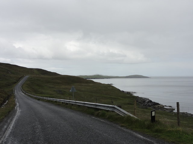
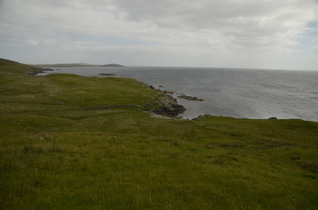
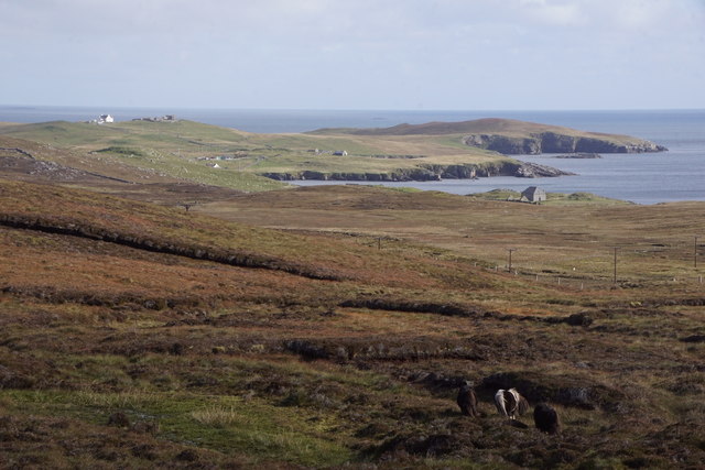
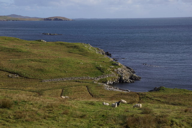
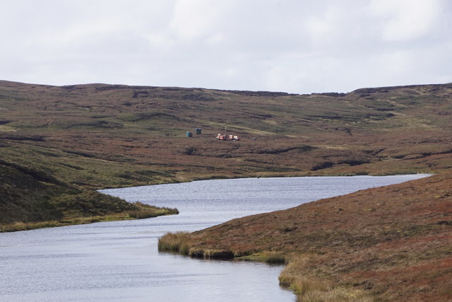
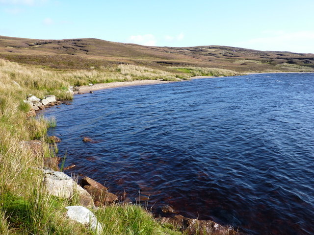
Black Water is a picturesque freshwater loch located in the Shetland Islands, Scotland. Situated on the mainland, approximately 8 miles northwest of Lerwick, it covers an area of approximately 0.2 square miles and is surrounded by a stunning landscape of rolling hills and verdant greenery.

This tranquil body of water is often referred to as a loch, which is the Scottish term for a lake. It is relatively shallow, with an average depth of around 10 feet, and its clear, dark waters give it its evocative name - Black Water. The loch is fed by numerous small streams and springs, ensuring a constant flow of fresh water.

The surrounding area of Black Water is home to a diverse range of flora and fauna, making it a haven for nature enthusiasts. The loch supports a thriving ecosystem, with various species of fish, including brown trout, which attract anglers from near and far.

In addition to its natural beauty, Black Water also possesses historical and cultural significance. It is believed to have been a site of human activity for thousands of years, with archaeological remains suggesting ancient settlements in the area. The loch is also said to have played a role in local folklore and legends, adding an air of mystique to its already enchanting setting.

Black Water is a popular destination for outdoor activities such as fishing, boating, and birdwatching. Its tranquil ambiance and stunning surroundings make it a must-visit location for those seeking a peaceful escape in the heart of the Shetland Islands.

If you have any feedback on the listing, please let us know in the comments section below.

Black Water Images

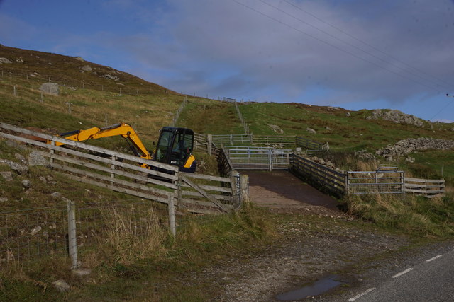
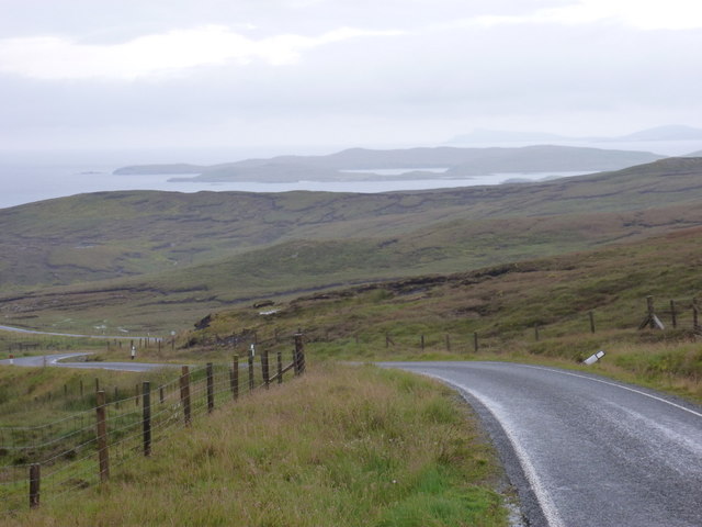
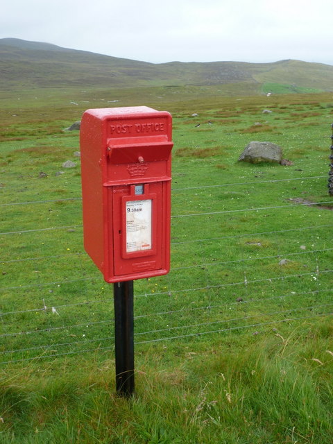
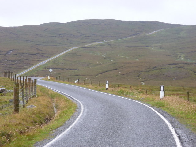
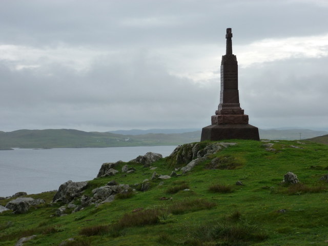
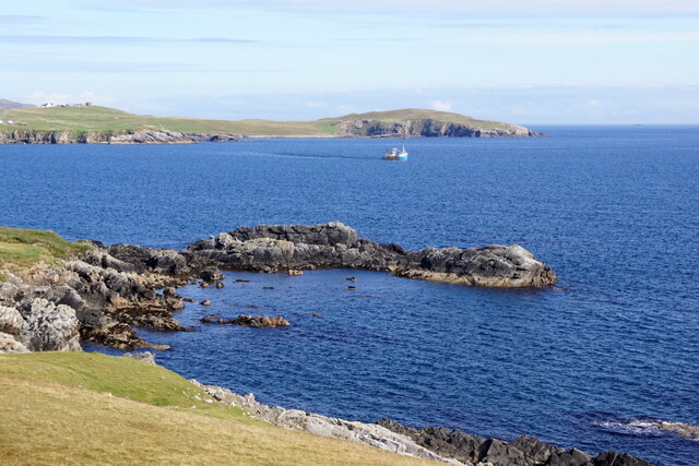
Images are sourced within 2km of 60.297307/-1.1605981 or Grid Reference HU4657. Thanks to Geograph Open Source API. All images are credited.

Coastal road View along the B9075 road
Coastal road
View along the B9075 road
Vegetation by old quarry Vegetation growing by old quarry.
Vegetation by old quarry
Vegetation growing by old quarry.
Boadie Geo, South Nesting, Shetland Part of the coastline on the east coast of mainland Shetland
Boadie Geo, South Nesting, Shetland
Part of the coastline on the east coast of mainland Shetland
Grunna Taing, South Nesting
Kirkabister and Hill of Neap from Mossy Hill, Nesting
Boadie Geo, South Nesting
Digger at Clubb of Newing, South Nesting
New comms mast at Kirk Ward, Nesting
Loch of Bellister, Nesting Some of the plant for the initial phases of the controversial Viking Energy wind farm can be seen on the peat at the far end of the loch.
Loch of Bellister, Nesting
Some of the plant for the initial phases of the controversial Viking Energy wind farm can be seen on the peat at the far end of the loch.
Loch of Skellister A shingly bay on the NW shore of the Loch of Skellister.
Loch of Skellister
A shingly bay on the NW shore of the Loch of Skellister.
Loch of Skellister A bright and breezy day shows how this beach was formed on the Loch of Skellister.
Loch of Skellister
A bright and breezy day shows how this beach was formed on the Loch of Skellister.
Brettabister: the B9075 approaches from the north Looking along the B9075 as it heads towards Brettabister from Laxo; having just come over Mossy Hill it's downhill virtually all the way from here into the village.
Brettabister: the B9075 approaches from the north
Looking along the B9075 as it heads towards Brettabister from Laxo; having just come over Mossy Hill it's downhill virtually all the way from here into the village.
Brettabister: postbox № ZE2 60 A small postbox on the B9075, emptied at 9:30 on weekday and Saturday mornings.
Brettabister: postbox № ZE2 60
A small postbox on the B9075, emptied at 9:30 on weekday and Saturday mornings.
Brettabister: the B9075 heads for Laxo Looking west at this point, but actually northbound, on the B9075 as it leaves Brettabister and ascends Mossy Hill on its way to Laxo.
Brettabister: the B9075 heads for Laxo
Looking west at this point, but actually northbound, on the B9075 as it leaves Brettabister and ascends Mossy Hill on its way to Laxo.
Brettabister: the war memorial The war memorial for North Nesting parish stands on Lambs Knowe, a craggy slope in the hamlet of Brettabister. South Nesting Bay is in the background.
Brettabister: the war memorial
The war memorial for North Nesting parish stands on Lambs Knowe, a craggy slope in the hamlet of Brettabister. South Nesting Bay is in the background.
Looking south down B9075 After a day of showers on Unst, Yell and Whalsay, the sun came out as I drove south to Lerwick.  The grey distant hills are on Noss (far left) and Ward Hill, Bressay (far right).
Looking south down B9075
After a day of showers on Unst, Yell and Whalsay, the sun came out as I drove south to Lerwick. The grey distant hills are on Noss (far left) and Ward Hill, Bressay (far right).
Mountain Hare (Lepus timidus), Kirk Ward, Nesting White winter pelage is intended as camouflage, but it is not very effective with dead heather on peaty soil.
Mountain Hare (Lepus timidus), Kirk Ward, Nesting
White winter pelage is intended as camouflage, but it is not very effective with dead heather on peaty soil.
Ling Skerry, Brettabister, Nesting
Show me another place!

Black Water is located at Grid Ref: HU4657 (Lat: 60.297307, Lng: -1.1605981)

Unitary Authority: Shetland Islands

Police Authority: Highlands and Islands

What 3 Words

///elevates.brink.paused. Near Vidlin, Shetland Islands

Nearby Locations

Black Water Bow Field

Related Wikis

Nesting, Shetland

Nesting is a parish in the Shetland Islands, Scotland. It includes a part of the east Shetland Mainland, measuring about twelve by four miles (19 by 6...

Brettabister

Brettabister is a settlement on the island of Mainland in Shetland, Scotland. It is in the parish of Nesting. St. Ola's parish church lies to the east...

Geopark Shetland

Geopark Shetland is the name used by the Geopark formally established in September 2009 on its entry into the European Geoparks Network. The Geopark extends...

Billister

Billister is a settlement in the parish of Nesting, on the island of Mainland, in Shetland, Scotland. It is on Lax Firth. Billister was formerly the terminal...

Nearby Amenities

Located within 500m of 60.297307,-1.1605981
Construction Power: generator
Generator Method: wind_turbine
Generator Output Electricity: 4.2 MW
Generator Source: wind
Generator Type: horizontal_axis
Manufacturer: Vestas
Model: V117-4.2 MW
Model Wikidata: Q117805651
Power: generator
Lat/Long: 60.2991259/-1.1670399
The data included in this document is from www.openstreetmap.org. The data is made available under ODbL.

Have you been to Black Water?

Leave your review of Black Water below (or comments, questions and feedback).