Great Plumstead

Settlement in Norfolk Broadland

England

Great Plumstead

View along Middle Road, Great Plumstead
View along Middle Road, Great Plumstead Credit: Evelyn Simak

Great Plumstead is a small village located in the county of Norfolk, England. Situated approximately 5 miles east of the city of Norwich, it falls within the Broadland district. The village sits on the northern bank of the River Yare and is surrounded by picturesque countryside.

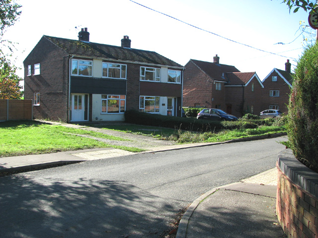
The community of Great Plumstead is home to around 1,500 residents. It is a close-knit and friendly village, known for its peaceful and rural atmosphere. The village is primarily residential, with a mix of traditional cottages and newer housing developments. Many residents commute to nearby Norwich for work, taking advantage of the village's convenient location.

Despite its small size, Great Plumstead offers a range of amenities for its residents. These include a primary school, a village hall, and a local pub. The village is well-served by public transportation, with regular bus services connecting it to Norwich and other nearby towns.

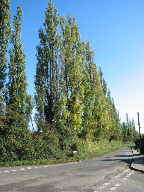
Great Plumstead is surrounded by beautiful countryside, providing ample opportunities for outdoor activities such as walking, cycling, and birdwatching. The nearby River Yare offers fishing and boating opportunities, adding to the village's charm.

Overall, Great Plumstead offers a peaceful and idyllic setting for those seeking a quieter lifestyle while still being within easy reach of the amenities and employment opportunities of Norwich.

If you have any feedback on the listing, please let us know in the comments section below.

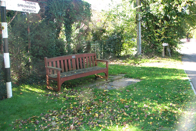
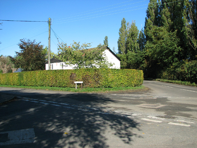
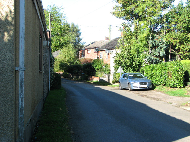
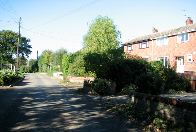
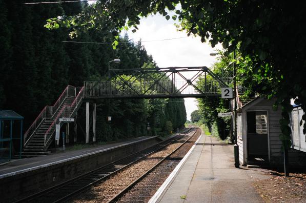
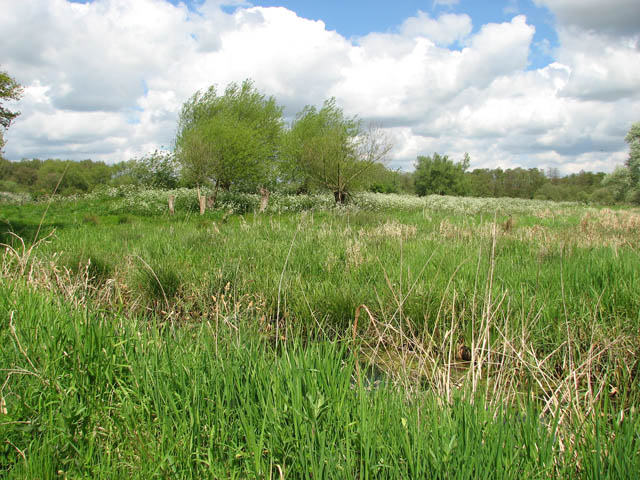
Great Plumstead Images

Images are sourced within 2km of 52.639914/1.399655 or Grid Reference TG3010. Thanks to Geograph Open Source API. All images are credited.

View along Middle Road, Great Plumstead
Houses in Low Road, Great Plumstead
Path to playing fields, Great Plumstead
Low Road, Great Plumstead
Seat by the junction of Low, Middle and Hare Roads
Middle/Hare Road junction, Great Plumstead
Middle Road past the Forge, Great Plumstead
Middle Road through Great Plumstead
Driveway to Hall Farm from Middle Road, Great Plumstead
Middle Road, Great Plumstead
To Thorpe End on Middle Road
Public footpath to Low Road, Great Plumstead
Large field between Middle Road and Low Road
Bridge over the Bittern Line
Bridge 365 The bridge takes Middle Road over the Bittern Line.
Bridge 365
The bridge takes Middle Road over the Bittern Line.
Broad Lane/Norwich Road junction, Thorpe End
House by Broad Lane/Norwich Road junction, Thorpe End
Norwich Road, Thorpe End
Show me another place!

Great Plumstead is located at Grid Ref: TG3010 (Lat: 52.639914, Lng: 1.399655)

Administrative County: Norfolk

District: Broadland

Police Authority: Norfolk

What 3 Words

///debit.scuba.these. Near Rackheath, Norfolk

Related Wikis

Great and Little Plumstead

Great and Little Plumstead is a civil parish in the English county of Norfolk consisting of the villages of Great Plumstead, Little Plumstead and Thorpe...

Postwick with Witton

Postwick with Witton ( ) is a civil parish on the Broads in the English county of Norfolk, comprising the two adjacent villages of Postwick and Witton...

Brundall Gardens railway station

Brundall Gardens railway station is on the Wherry Lines in the East of England, serving the western side of the village of Brundall, Norfolk. It is 4 miles...

St Andrew's Hospital, Norwich

St Andrew's Hospital was a mental health facility in Thorpe St Andrew, Norwich, Norfolk, England. The main building survives and it is a Grade II listed...

Brundall

Brundall is a village and civil parish in the English county of Norfolk. It is located on the north bank of the River Yare opposite Surlingham Broad and...

Thorpe St Andrew School

Thorpe St. Andrew School is an 11 to 18 mixed secondary school in Thorpe St. Andrew on the outskirts of the city of Norwich in the English county of Norfolk...

Blofield Heath

Blofield Heath is a hamlet in the civil parish of Blofield, in the Broadland district, in the county of Norfolk, England. It is about 7 miles from Norwich...

Surlingham Church Marsh RSPB reserve

Surlingham Church Marsh is a small RSPB nature reserve in the Norfolk Broads, England. It is part of Yare Broads and Marshes Site of Special Scientific...

Nearby Amenities

Located within 500m of 52.639914,1.399655
Great Plumstead
Place: village
Source: NPE
Lat/Long: 52.6416187/1.3996831
Bus Stop
old school, opp
Naptan AtcoCode: 2900P0712
Naptan Bearing: SE
Naptan CommonName: old school
Naptan Indicator: opp
Naptan Landmark: old school
Naptan Locality: Great Plumstead
Naptan NaptanCode: nfodpapg
Naptan PlusbusZoneRef: NRCH
Naptan ShortCommonName: old school
Naptan Street: Church Road
Naptan Verified: no
Source: naptan_import
Lat/Long: 52.6400913/1.399292
Bus Stop
old school, adj
Naptan AtcoCode: 2900P077
Naptan Bearing: NW
Naptan BusStopType: CUS
Naptan CommonName: old school
Naptan Indicator: adj
Naptan Landmark: old school
Naptan Locality: Great Plumstead
Naptan NaptanCode: nfogmdtw
Naptan PlusbusZoneRef: NRCH
Naptan ShortCommonName: old school
Naptan Street: Church Road
Naptan Verified: no
Source: naptan_import
Lat/Long: 52.6400105/1.3992857
Post Box
Post Box Type: wall
Lat/Long: 52.6391682/1.4008573
Power: pole
Lat/Long: 52.6438542/1.4019369
Power: pole
Lat/Long: 52.643484/1.4002806
Power: pole
Lat/Long: 52.6431227/1.398615
Power: pole
Lat/Long: 52.6427614/1.3969708
Location Transition: yes
Power: pole
Lat/Long: 52.6426458/1.3964478
Location Transition: yes
Power: pole
Lat/Long: 52.6426141/1.3957035
Power: pole
Lat/Long: 52.6410525/1.3927946
Power: pole
Lat/Long: 52.6415929/1.3939614
Power: pole
Lat/Long: 52.6418891/1.3944764
Power: pole
Lat/Long: 52.6420046/1.3937924
Power: pole
Lat/Long: 52.6413845/1.3936127
Power: pole
Lat/Long: 52.6404828/1.3932721
Power: pole
Lat/Long: 52.6394241/1.3932197
Power: pole
Lat/Long: 52.6383937/1.3931929
Disused Entrance: yes
Lat/Long: 52.6385105/1.4008719
Entrance: main
Lat/Long: 52.6384657/1.4006536
Give Way
Lat/Long: 52.6383532/1.401082
Give Way
Lat/Long: 52.6409086/1.3970924
Give Way
Lat/Long: 52.6408581/1.3970299
Great Plumstead
Inscription: Toad Lane / Middle Road / Hare Road / Broad Lane / Low Road / Water Lane / Smee Lane / Witton Lane / Church Road
Man Made: village_sign
Material: metal
Start Date: 2016-06-11
Lat/Long: 52.6407873/1.3972566
Bench
Backrest: yes
Colour: brown
Material: wood
Seats: 2
Lat/Long: 52.6407946/1.3971613
Historic: city_gate
Lat/Long: 52.6426261/1.4032985
Historic: city_gate
Lat/Long: 52.6425268/1.4031741
Marker: aerial
Utility: gas
Lat/Long: 52.6426508/1.4033326
The data included in this document is from www.openstreetmap.org. The data is made available under ODbL.

Have you been to Great Plumstead?

Leave your review of Great Plumstead below (or comments, questions and feedback).