Ice House Plantation
Wood, Forest in Norfolk Broadland
England
Ice House Plantation
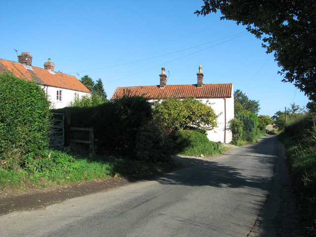
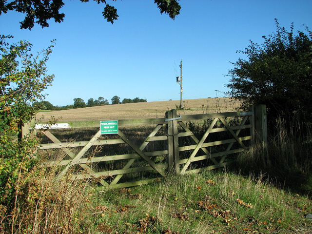
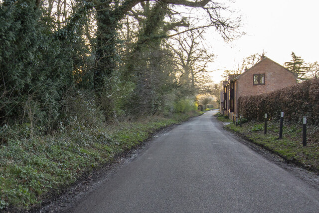
Ice House Plantation is a historic site located in Norfolk, Virginia. Situated in a wooded area, it encompasses a sprawling forest that covers a vast expanse of land. The plantation is renowned for its scenic beauty and serves as a sanctuary for various plant and animal species.
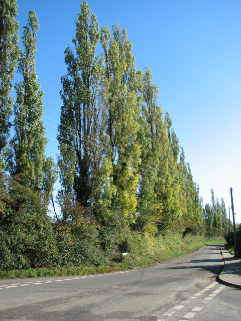
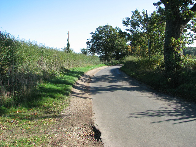
The Wood, Forest section of Ice House Plantation is characterized by dense foliage consisting of a myriad of trees, including oak, hickory, and pine. The forest floor is adorned with a rich carpet of ferns, mosses, and wildflowers, creating a vibrant and enchanting atmosphere. The towering trees provide ample shade and contribute to the overall tranquility of the area.
This section of the plantation is home to a diverse range of wildlife, with numerous species of birds, mammals, and insects making it their habitat. Visitors may be fortunate enough to spot deer, foxes, squirrels, and a variety of bird species, adding to the allure of the woodland experience.
Ice House Plantation's Wood, Forest area also offers recreational activities for nature enthusiasts. Hiking trails wind through the forest, providing an opportunity to explore its beauty up close. The trails are well-maintained and offer a chance to observe the flora and fauna while enjoying a peaceful walk in nature.
Overall, Ice House Plantation's Wood, Forest section is a haven for nature lovers seeking solace amidst the beauty of Virginia's natural landscape. Whether it is for a leisurely stroll, birdwatching, or simply to escape the hustle and bustle of city life, this section of the plantation provides a serene and immersive experience in the heart of Norfolk.
If you have any feedback on the listing, please let us know in the comments section below.
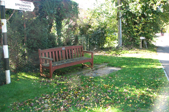
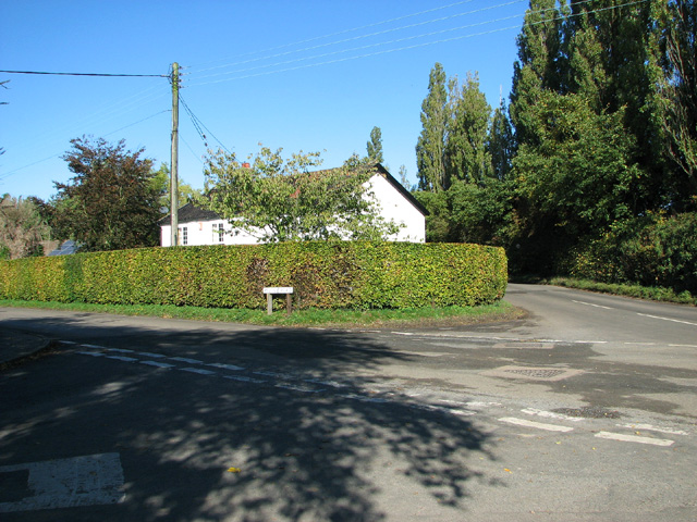
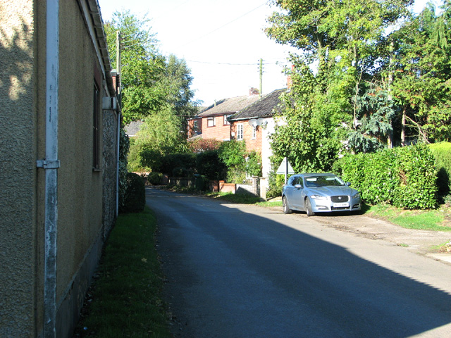
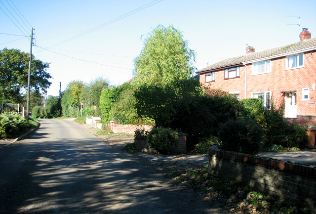
Ice House Plantation Images
Images are sourced within 2km of 52.643238/1.4109123 or Grid Reference TG3010. Thanks to Geograph Open Source API. All images are credited.


Ice House Plantation is located at Grid Ref: TG3010 (Lat: 52.643238, Lng: 1.4109123)
Administrative County: Norfolk
District: Broadland
Police Authority: Norfolk
What 3 Words
///solo.supporter.stuck. Near Brundall, Norfolk
Nearby Locations
Related Wikis

Great and Little Plumstead
Great and Little Plumstead is a civil parish in the English county of Norfolk consisting of the villages of Great Plumstead, Little Plumstead and Thorpe...

Postwick with Witton
Postwick with Witton ( ) is a civil parish on the Broads in the English county of Norfolk, comprising the two adjacent villages of Postwick and Witton...

Blofield Heath
Blofield Heath is a hamlet in the civil parish of Blofield, in the Broadland district, in the county of Norfolk, England. It is about 7 miles from Norwich...
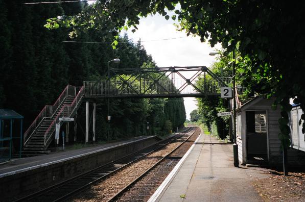
Brundall Gardens railway station
Brundall Gardens railway station is on the Wherry Lines in the East of England, serving the western side of the village of Brundall, Norfolk. It is 4 miles...

Brundall
Brundall is a village and civil parish in the English county of Norfolk. It is located on the north bank of the River Yare opposite Surlingham Broad and...
Blofield
Blofield is a village and civil parish in the Broadland district of Norfolk, England. The parish includes Blofield and the hamlets of Blofield Heath and...
Norwich United F.C.
Norwich United Football Club is a football club based in Blofield, Norfolk, England. Affiliated to the Norfolk County FA, they play at Plantation Park...
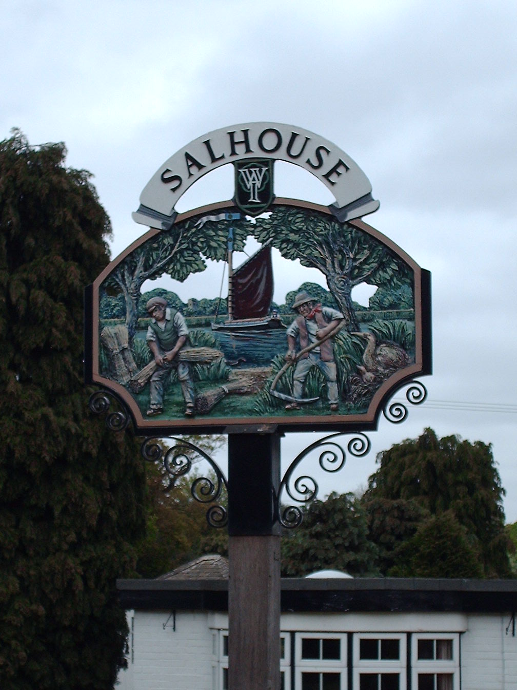
Salhouse
Salhouse is a village and civil parish in the Broads in the English county of Norfolk. It lies south of the River Bure and Salhouse Broad, about 10 kilometres...
Nearby Amenities
Located within 500m of 52.643238,1.4109123Have you been to Ice House Plantation?
Leave your review of Ice House Plantation below (or comments, questions and feedback).