Ardington Brook
Lake, Pool, Pond, Freshwater Marsh in Berkshire Vale of White Horse
England
Ardington Brook

Ardington Brook is a picturesque freshwater feature located in Berkshire, England. Stretching over a length of approximately 8 kilometers, this body of water encompasses a variety of aquatic habitats, including a lake, pool, pond, and freshwater marsh. It serves as a vital ecosystem for numerous plant and animal species, contributing to the overall biodiversity of the region.
The lake within Ardington Brook is a significant focal point, covering a considerable portion of the area. It provides a tranquil setting and attracts a range of waterfowl, such as ducks and geese, which can often be seen gliding across its serene surface. The pool and pond areas are smaller in comparison but are equally vibrant, hosting an array of aquatic plants and invertebrates.
One of the notable features of Ardington Brook is the presence of a freshwater marsh. This marshland provides a unique habitat for various species, including reeds, rushes, and sedges. It serves as a breeding ground for amphibians and insects, attracting frogs, toads, dragonflies, and damselflies.
The surrounding vegetation around Ardington Brook further enhances its natural beauty. Trees, shrubs, and grasses line the banks, providing a habitat for birds and mammals, including kingfishers, otters, and voles.
Ardington Brook not only offers a haven for wildlife but also provides recreational opportunities for visitors. Its peaceful ambiance and scenic beauty make it a popular spot for walking, picnicking, and photography. It also serves as an educational resource, allowing individuals to learn about the importance of wetland ecosystems and the various species that depend on them.
Overall, Ardington Brook in Berkshire is a captivating freshwater feature that supports a diverse range of flora and fauna, offering both ecological value and recreational enjoyment for all who visit.
If you have any feedback on the listing, please let us know in the comments section below.
Ardington Brook Images
Images are sourced within 2km of 51.590233/-1.3838627 or Grid Reference SU4288. Thanks to Geograph Open Source API. All images are credited.


Ardington Brook is located at Grid Ref: SU4288 (Lat: 51.590233, Lng: -1.3838627)
Administrative County: Oxfordshire
District: Vale of White Horse
Police Authority: Thames Valley
What 3 Words
///insulated.fortunes.mixture. Near Wantage, Oxfordshire
Nearby Locations
Related Wikis

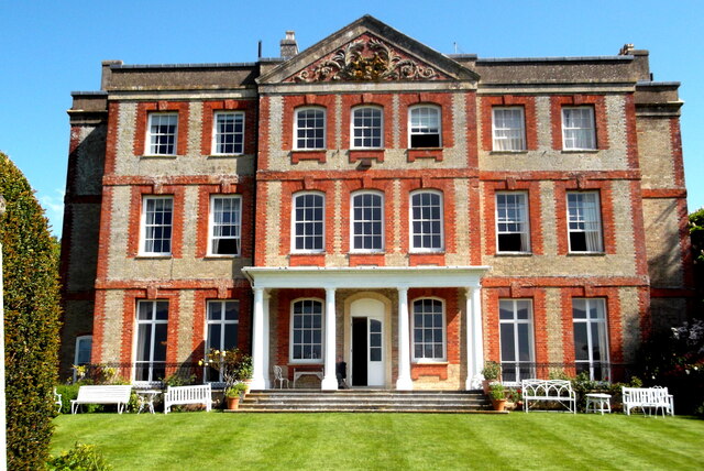
Lockinge Estate
The Lockinge Estate is a 3,035-hectare (7,500-acre) agricultural and housing estate near Wantage that today includes most of the land and property encompassing...

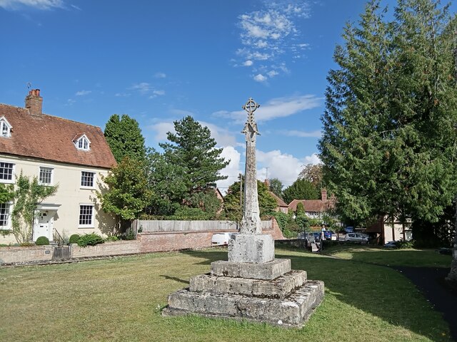
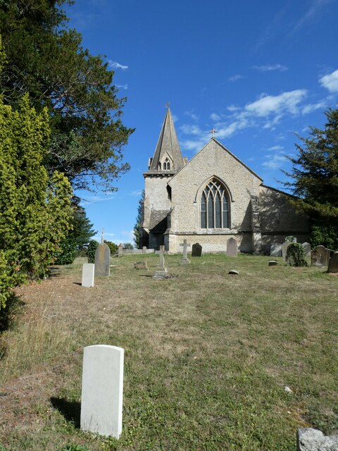
Ardington
Ardington is a village and civil parish about 2 miles (3 km) east of Wantage in the Vale of White Horse. It was part of Berkshire until the 1974 boundary...

Ardington and Lockinge
Ardington and Lockinge are two civil parishes in the Vale of White Horse district, centred about 2 miles (3 km) east of Wantage, Oxfordshire, that share...

West Lockinge
West Lockinge is a village in and former civil parish, now in the parish of Lockinge, in the Vale of White Horse district, in the county of Oxfordshire...

East Lockinge
East Lockinge is a village and former civil parish, now in the parish of Lockinge, in the Vale of White Horse district, in the county of Oxfordshire, England...

West Hendred
West Hendred is a village and civil parish about 3 miles (5 km) east of Wantage. It was part of Berkshire until the 1974 boundary changes transferred it...

Ardington Wick
Ardington Wick is a hamlet in the civil parish of Ardington in the Vale of White Horse, England. It was part of Berkshire until the 1974 local government...

West Ginge
West Ginge is a hamlet within the civil parish of Ardington in the English county of Oxfordshire (formerly Berkshire), 3.9 miles (6.3 km) by road to the...
Related Videos
Walking Britain's Oldest Road | The Finale
So here is the final part of my walk on Britain's Oldest Road - The Ridgeway! You can find out more details about this amazing ...

Walking the Whippet
A quick video i made on our nightly walk with our Whippet puppy. I hope you like it! It was shot on a Canon C100 Mkii with a ...

Oxfordshire 3.8 mile circular walk: Ardington & Icknield Way
Ardington & Icknield Way: 3.8 mile circular walk Guided Walk: ...
Nearby Amenities
Located within 500m of 51.590233,-1.3838627Have you been to Ardington Brook?
Leave your review of Ardington Brook below (or comments, questions and feedback).