Platanus Pond
Lake, Pool, Pond, Freshwater Marsh in Yorkshire Harrogate
England
Platanus Pond
Platanus Pond, located in Yorkshire, is a serene and picturesque freshwater marsh that offers a tranquil escape from the hustle and bustle of city life. Spanning over an area of approximately 5 acres, this natural water body is a popular destination for nature enthusiasts and bird watchers.
Surrounded by lush greenery and an abundance of wildlife, Platanus Pond provides a habitat for various species of plants, animals, and birds. The pond itself is home to a diverse range of aquatic flora, including water lilies and reeds, which provide shelter and food for numerous aquatic organisms.
The calm and clear waters of Platanus Pond attract a wide variety of bird species, making it a haven for birdwatchers. Visitors can often spot common waterfowl such as ducks, geese, and swans gracefully gliding across the pond. Additionally, the marshy surroundings provide an ideal habitat for wading birds like herons and egrets.
The ecosystem of Platanus Pond is delicately balanced, with the water serving as a breeding ground for insects, amphibians, and fish. This, in turn, attracts larger predators like foxes and otters, which can occasionally be spotted along the pond's edges.
Platanus Pond offers visitors the opportunity to connect with nature through scenic walks along its banks and peaceful picnics in its tranquil surroundings. It serves as a sanctuary for both wildlife and humans alike, providing a much-needed respite from the demands of everyday life.
Overall, Platanus Pond in Yorkshire is a remarkable freshwater marsh that showcases the beauty and diversity of nature, making it a must-visit destination for nature lovers and wildlife enthusiasts.
If you have any feedback on the listing, please let us know in the comments section below.
Platanus Pond Images
Images are sourced within 2km of 53.980816/-1.4026745 or Grid Reference SE3954. Thanks to Geograph Open Source API. All images are credited.


Platanus Pond is located at Grid Ref: SE3954 (Lat: 53.980816, Lng: -1.4026745)
Division: West Riding
Administrative County: North Yorkshire
District: Harrogate
Police Authority: North Yorkshire
What 3 Words
///tribes.snake.snooping. Near Spofforth, North Yorkshire
Nearby Locations
Related Wikis
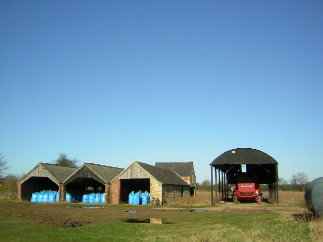
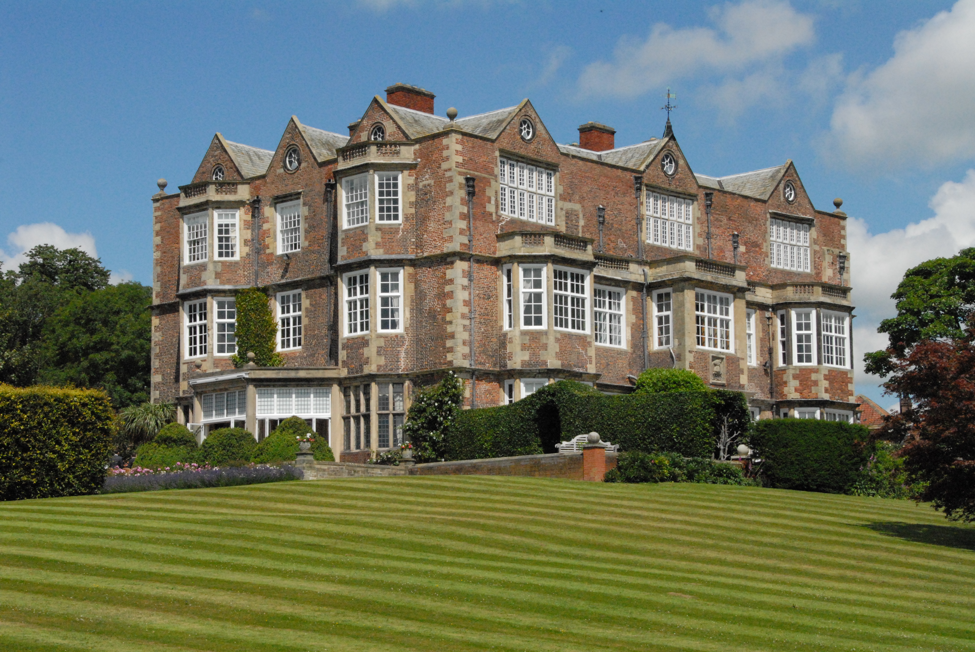
Ribston Hall
Ribston Hall is a privately owned 17th-century country mansion situated on the banks of the River Nidd, at Great Ribston, near Knaresborough, North Yorkshire...

Ribston Preceptory
Ribston Preceptory was a priory just east of the village of Little Ribston, in North Yorkshire, England on the east bank of the River Nidd. The preceptory...

Little Ribston
Little Ribston is a village and civil parish in the Harrogate district of North Yorkshire, England. Little Ribston is located on the River Nidd, 4 miles...
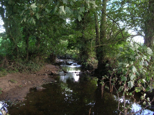
Crimple Beck
Crimple Beck or the River Crimple is a beck which flows through North Yorkshire, England. It is a tributary of the River Nidd which it joins between Little...
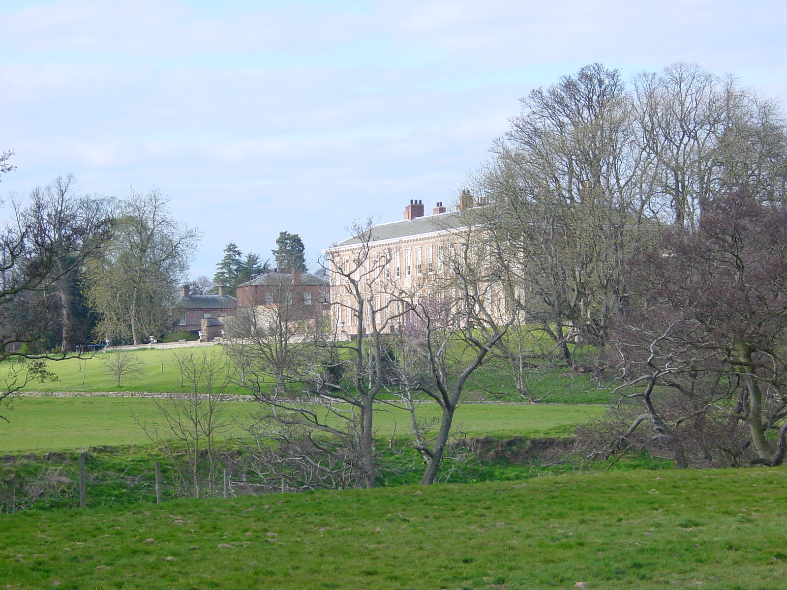
Goldsborough Hall
Goldsborough Hall is a Jacobean stately home located in the village of Goldsborough, North Yorkshire, England. It is a member of the Historic Houses Association...

Goldsborough, Harrogate
Goldsborough is a village and civil parish in North Yorkshire, England. It is situated near the River Nidd and one mile (1.6 km) east of Knaresborough...
Walshford
Walshford is a hamlet in the civil parish of Great Ribston with Walshford, in the Harrogate district, in the county of North Yorkshire, England. The hamlet...

North Deighton
North Deighton is a village and civil parish in the Harrogate district of North Yorkshire, England. Until 1866, when it became its own parish, the village...
Nearby Amenities
Located within 500m of 53.980816,-1.4026745Have you been to Platanus Pond?
Leave your review of Platanus Pond below (or comments, questions and feedback).