Black Pool
Lake, Pool, Pond, Freshwater Marsh in Derbyshire South Derbyshire
England
Black Pool
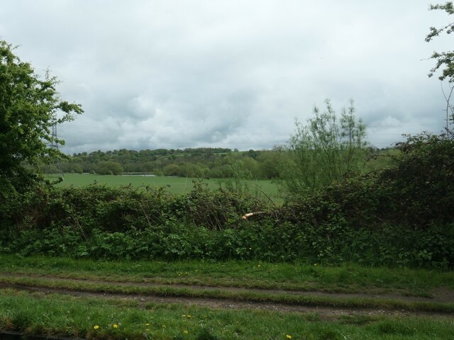
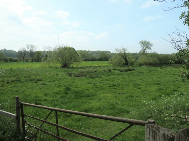
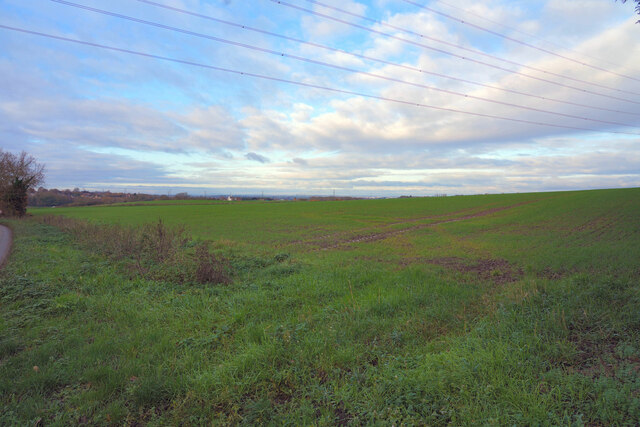
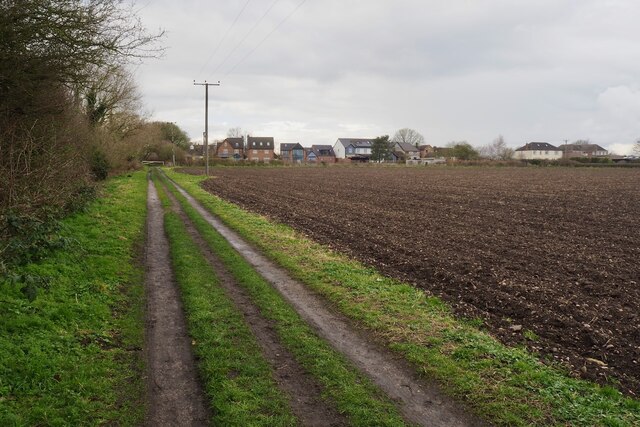
Black Pool is a small freshwater lake located in the town of Derbyshire, England. Situated in the picturesque Peak District National Park, it covers an area of approximately 3 acres. The pool is nestled amidst beautiful rolling hills and dense woodlands, offering a serene and tranquil atmosphere for visitors.
The water in Black Pool is crystal clear and boasts a striking dark hue, which gives the lake its name. It is believed that the color is a result of the high concentration of organic matter and minerals found in the surrounding soil. The lake is fed by natural springs and rainwater runoff, ensuring a constant supply of fresh water.
The pool is home to a diverse range of aquatic plants and wildlife. The surrounding marshy areas provide a habitat for various species of birds, including ducks, herons, and grebes. The lake itself supports a population of fish, such as perch and pike, making it a popular spot for fishing enthusiasts.
Black Pool offers several recreational activities for visitors. Fishing is a common pastime, with anglers often seen casting their lines from the banks. The lake is also suitable for boating, and canoes and kayaks can frequently be spotted gliding across its calm waters. Additionally, the surrounding area provides ample opportunities for hiking and picnicking, making it an ideal destination for nature lovers.
Overall, Black Pool in Derbyshire is a hidden gem that offers a peaceful retreat for those seeking to connect with nature. Its unique dark waters, abundant wildlife, and scenic surroundings make it a must-visit destination in the Peak District.
If you have any feedback on the listing, please let us know in the comments section below.
Black Pool Images
Images are sourced within 2km of 52.842864/-1.4184609 or Grid Reference SK3927. Thanks to Geograph Open Source API. All images are credited.


Black Pool is located at Grid Ref: SK3927 (Lat: 52.842864, Lng: -1.4184609)
Administrative County: Derbyshire
District: South Derbyshire
Police Authority: Derbyshire
What 3 Words
///overgrown.fail.shapes. Near Melbourne, Derbyshire
Nearby Locations
Related Wikis

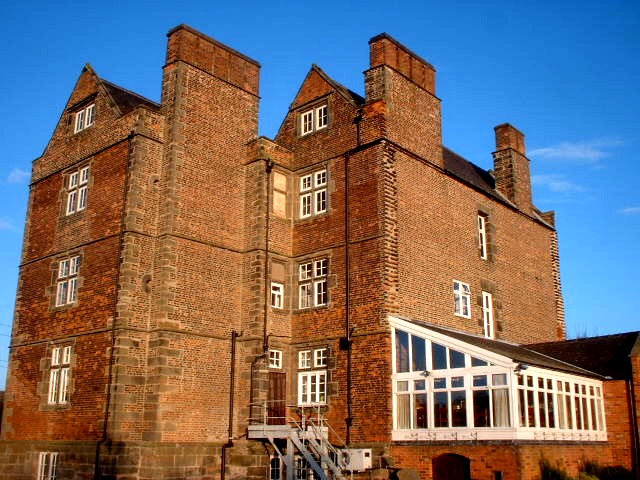
St Mary the Virgin's Church, Weston-on-Trent
St Mary the Virgin's Church, Weston-on-Trent is a Grade I listed parish church in the Church of England in Weston-on-Trent, Derbyshire. == History... ==
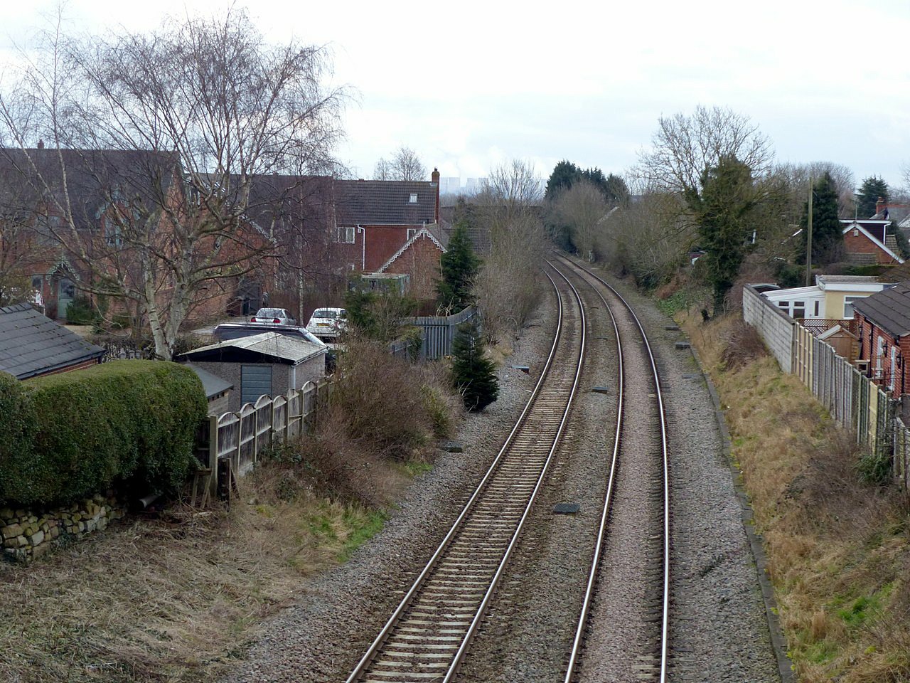
Weston-on-Trent railway station
Weston on Trent railway station served the village of Weston-on-Trent, Derbyshire from 1869 to 1930. == History == The station was opened on 6 December...

Kings Newton
Kings Newton is a village in South Derbyshire. The population of the village is included in Melbourne. The Holy well (pictured) was constructed around...
Weston-on-Trent
Weston-on-Trent is a village and civil parish in the South Derbyshire district of Derbyshire. The population of the civil parish at the 2011 census was...

Melbourne railway station (United Kingdom)
Melbourne railway station was a station at Kings Newton that served the adjacent town of Melbourne, Derbyshire, England. == History == It was opened in...

Melbourne line
The Melbourne Line was a railway line which ran from Derby to Ashby de la Zouch. It was used by the British Army and Allied engineers during the Second...

Stanton by Bridge
Stanton by Bridge is a village and civil parish in the English county of Derbyshire. The population of the civil parish at the 2011 census was 246. �...
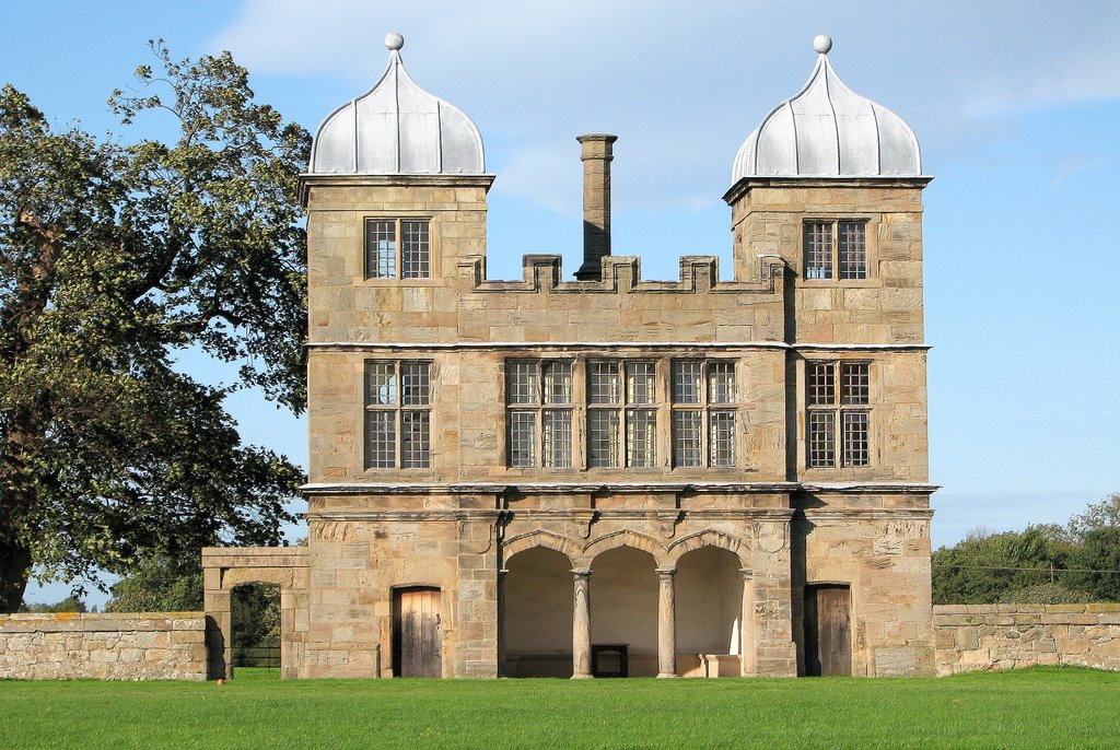
Swarkestone Hall Pavilion
Swarkestone Hall Pavilion, also known as Swarkestone Stand and The Grandstand, is a 17th-century pavilion 200 metres north of the ruins of Swarkestone...
Nearby Amenities
Located within 500m of 52.842864,-1.4184609Have you been to Black Pool?
Leave your review of Black Pool below (or comments, questions and feedback).