Little Dogkennel Pond
Lake, Pool, Pond, Freshwater Marsh in Derbyshire South Derbyshire
England
Little Dogkennel Pond
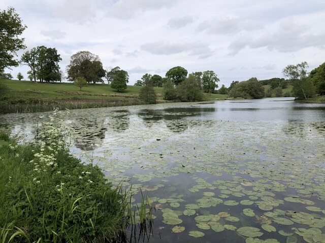
Little Dogkennel Pond is a small freshwater pond located in Derbyshire, England. With a surface area of approximately 2 acres, it is classified as a pond but is often referred to as a lake due to its tranquil beauty and serene atmosphere. The pond is nestled in a picturesque setting, surrounded by lush greenery and rolling hills, making it a popular destination for nature enthusiasts and photographers.
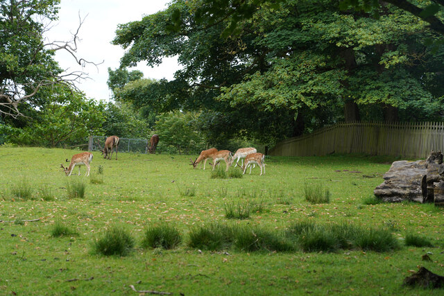
The water in Little Dogkennel Pond is crystal clear and supports a diverse range of aquatic plant and animal life. The pond is home to several species of fish, including common carp, roach, and perch, providing ample opportunities for anglers to enjoy a day of fishing. Its calm waters also attract various water birds, such as mallards, coots, and moorhens, creating a vibrant and lively ecosystem.
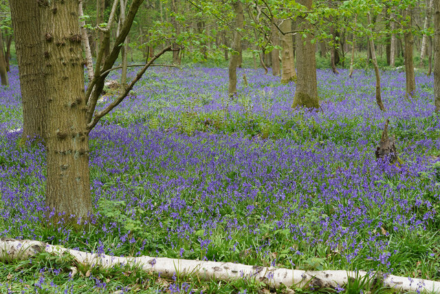
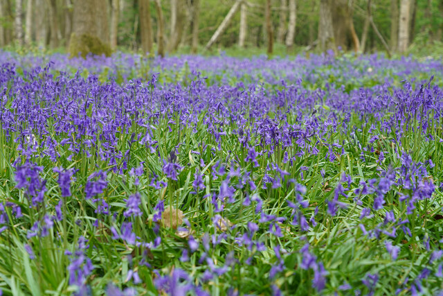
Surrounding the pond is a freshwater marsh, characterized by its wetland vegetation and waterlogged soils. This marshland provides a vital habitat for a variety of plant species, including reeds, rushes, and sedges. It is also a breeding ground for amphibians like frogs and newts, further adding to the biodiversity of the area.
Little Dogkennel Pond offers visitors the chance to relax and unwind in a peaceful natural setting. The pond is accessible via walking trails, which meander through the surrounding countryside, providing ample opportunities for scenic walks and wildlife observation. Whether it's fishing, birdwatching, or simply enjoying the tranquility of nature, Little Dogkennel Pond is a hidden gem in Derbyshire that is sure to captivate all who visit.
If you have any feedback on the listing, please let us know in the comments section below.
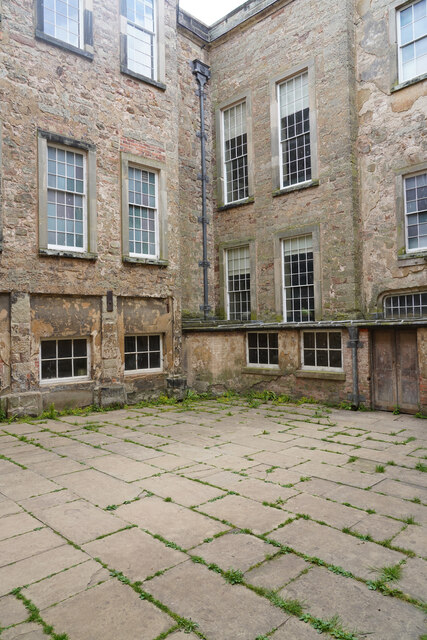
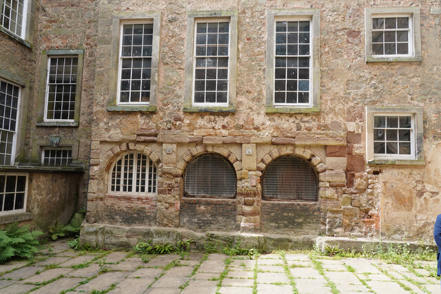
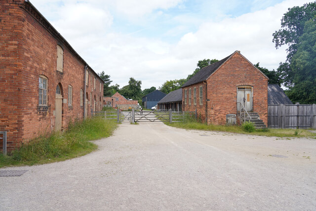
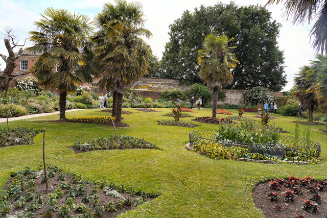
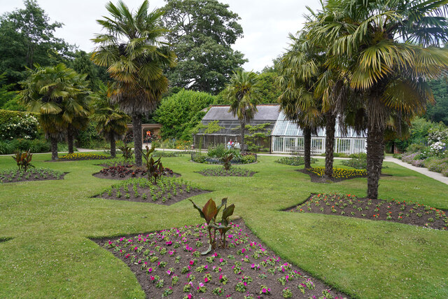
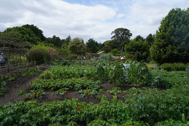
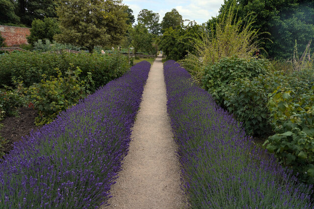
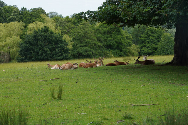
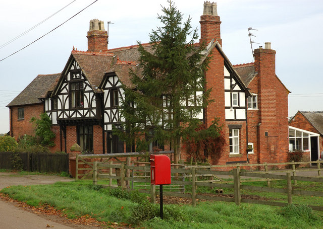
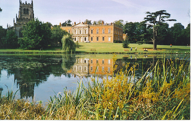
Little Dogkennel Pond Images
Images are sourced within 2km of 52.801487/-1.4509029 or Grid Reference SK3722. Thanks to Geograph Open Source API. All images are credited.


Little Dogkennel Pond is located at Grid Ref: SK3722 (Lat: 52.801487, Lng: -1.4509029)
Administrative County: Derbyshire
District: South Derbyshire
Police Authority: Derbyshire
What 3 Words
///trendy.appear.tastings. Near Melbourne, Derbyshire
Nearby Locations
Related Wikis

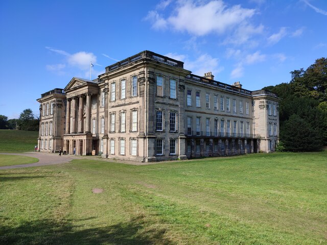
Calke Abbey
Calke Abbey is a Grade I listed country house near Ticknall, Derbyshire, England, in the care of the charitable National Trust. The site was an Augustinian...
Calke
Calke is a small village and civil parish in the South Derbyshire district of Derbyshire, England. It includes the historic house Calke Abbey, a National...

Staunton Harold Reservoir
Staunton Harold Reservoir is a large reservoir under the management of Severn Trent Water, located between Melbourne and Ticknall in Derbyshire, England...

Dimminsdale
Dimminsdale is a 37 hectare geological biological and Site of Special Scientific Interest partly in Derbyshire and partly in Leicestershire. It is located...

Ticknall Tramway
The Ticknall Tramway was a 12.8 mi (20.6 km) long 4 ft 2 in (1,270 mm) gauge horse-drawn plateway terminating at Ticknall, Derbyshire, England. It operated...
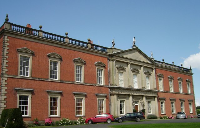
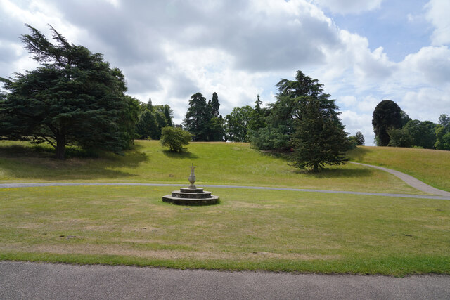
Staunton Harold Hall
Staunton Harold Hall is a large 18th-century Grade I listed country house built by the Earls Ferrers, situated within the 2,000-acre (810 ha) Staunton...
Staunton Harold
Staunton Harold is a civil parish in North West Leicestershire about 3 miles (5 km) north of Ashby-de-la-Zouch. The parish is on the county boundary with...

Ticknall
Ticknall is a small village and civil parish in South Derbyshire, England. The population of the civil parish (including Calke) at the 2011 Census was...
Nearby Amenities
Located within 500m of 52.801487,-1.4509029Have you been to Little Dogkennel Pond?
Leave your review of Little Dogkennel Pond below (or comments, questions and feedback).