Church Plantation
Wood, Forest in Derbyshire South Derbyshire
England
Church Plantation
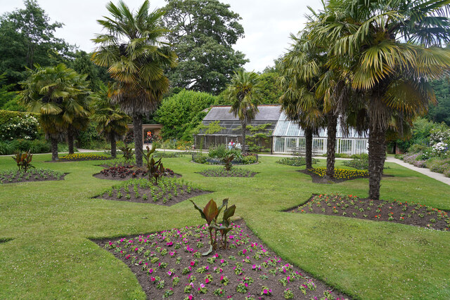
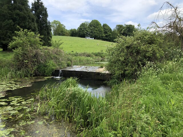
Church Plantation is a charming woodland area located in Derbyshire, England. It is situated near the village of Wood and is surrounded by a lush forest. The plantation is a popular destination for nature lovers and outdoor enthusiasts due to its tranquil atmosphere and stunning natural beauty.
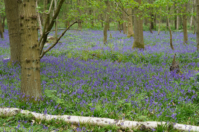
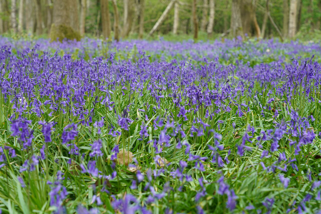
Covering an area of approximately [insert area], Church Plantation is home to a diverse range of plant and animal species. The forest is dominated by tall, mature trees, including oak, beech, and birch. Their intertwining branches create a dense canopy, casting a cool shade over the forest floor.
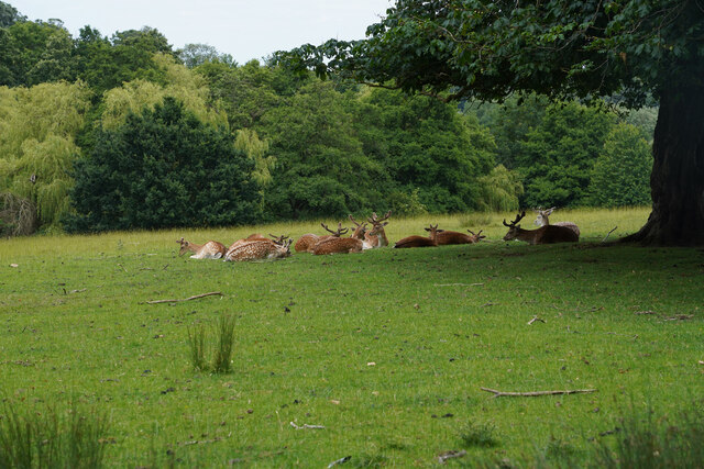
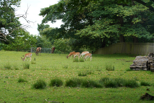
Walking through Church Plantation, visitors can enjoy the serenity of the surroundings as they listen to the gentle rustling of leaves and the melodious songs of birds. The forest is also home to various wildlife, such as deer, foxes, and squirrels, which can often be spotted amidst the undergrowth.
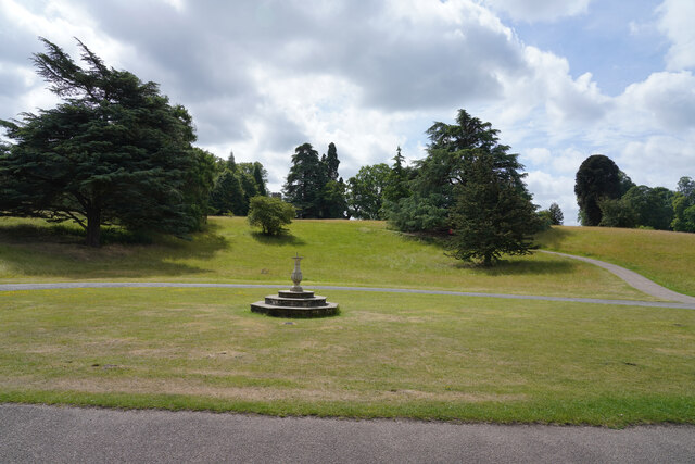
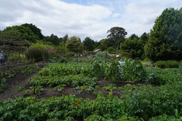
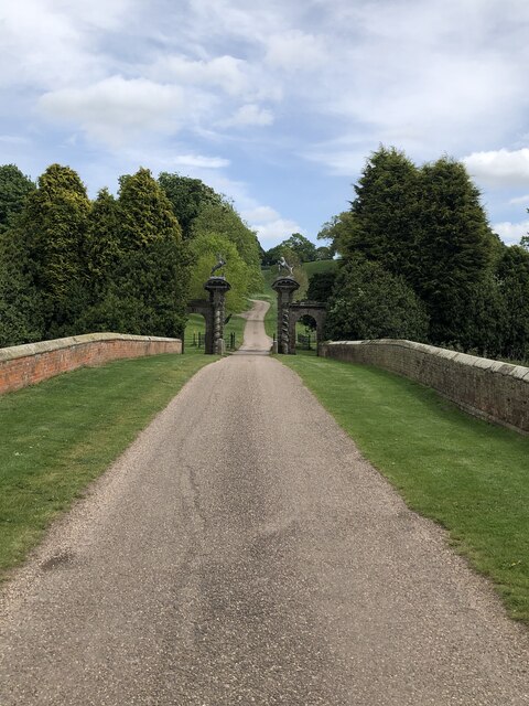
There are several well-maintained trails that wind their way through the plantation, providing opportunities for leisurely strolls and more challenging hikes. These pathways offer visitors a chance to explore the woodland at their own pace and discover hidden gems along the way, such as babbling brooks and picturesque clearings.
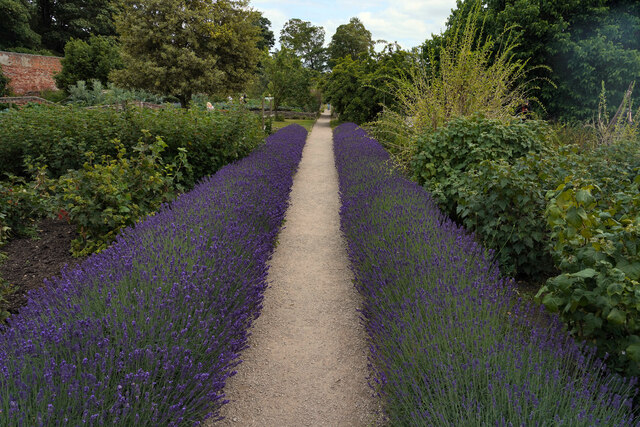
Church Plantation is a haven for outdoor activities such as picnicking, birdwatching, and photography. It offers a peaceful retreat from the hustle and bustle of everyday life, allowing visitors to reconnect with nature and experience the tranquility of the English countryside.
If you have any feedback on the listing, please let us know in the comments section below.
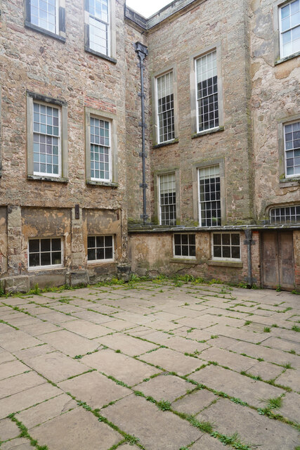
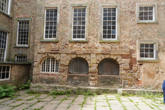
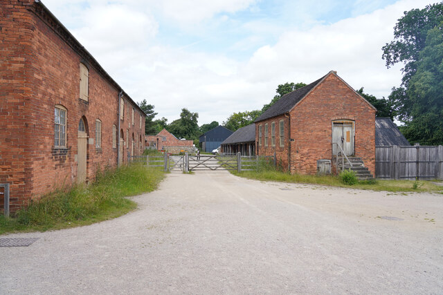
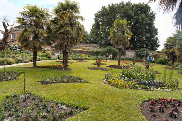
Church Plantation Images
Images are sourced within 2km of 52.795152/-1.4515759 or Grid Reference SK3722. Thanks to Geograph Open Source API. All images are credited.
Church Plantation is located at Grid Ref: SK3722 (Lat: 52.795152, Lng: -1.4515759)
Administrative County: Derbyshire
District: South Derbyshire
Police Authority: Derbyshire
What 3 Words
///pythons.sponsors.lavender. Near Melbourne, Derbyshire
Nearby Locations
Related Wikis
Calke
Calke is a small village and civil parish in the South Derbyshire district of Derbyshire, England. It includes the historic house Calke Abbey, a National...

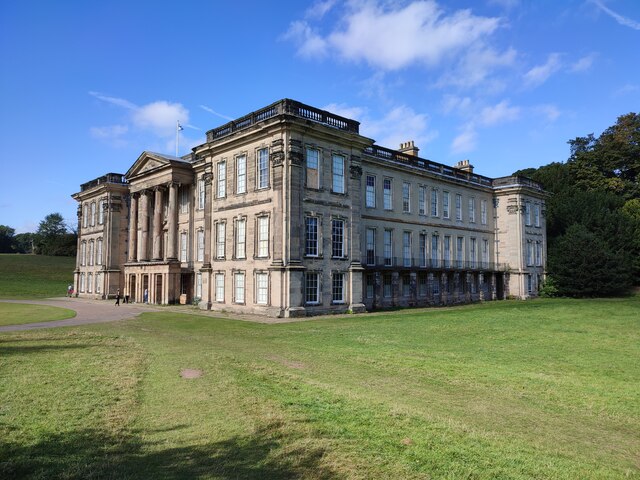
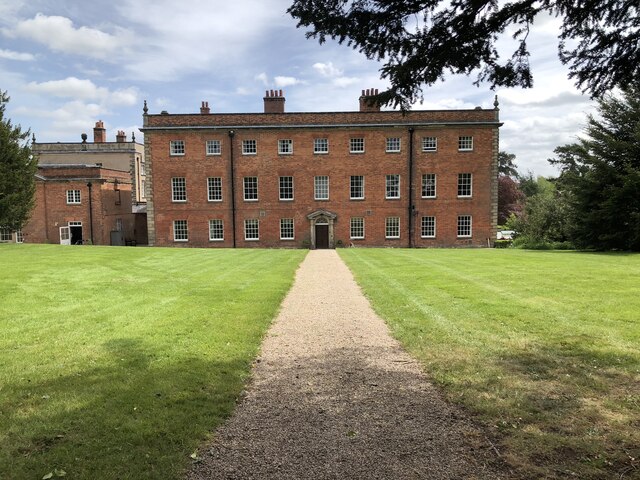
Calke Abbey
Calke Abbey is a Grade I listed country house near Ticknall, Derbyshire, England, in the care of the charitable National Trust. The site was an Augustinian...

Dimminsdale
Dimminsdale is a 37 hectare geological biological and Site of Special Scientific Interest partly in Derbyshire and partly in Leicestershire. It is located...
Staunton Harold
Staunton Harold is a civil parish in North West Leicestershire about 3 miles (5 km) north of Ashby-de-la-Zouch. The parish is on the county boundary with...
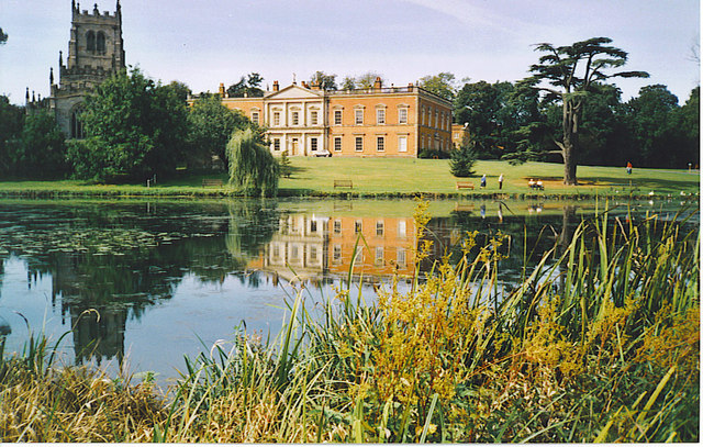
Staunton Harold Hall
Staunton Harold Hall is a large 18th-century Grade I listed country house built by the Earls Ferrers, situated within the 2,000-acre (810 ha) Staunton...

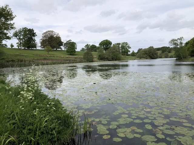
Staunton Harold Reservoir
Staunton Harold Reservoir is a large reservoir under the management of Severn Trent Water, located between Melbourne and Ticknall in Derbyshire, England...

Ticknall Tramway
The Ticknall Tramway was a 12.8 mi (20.6 km) long 4 ft 2 in (1,270 mm) gauge horse-drawn plateway terminating at Ticknall, Derbyshire, England. It operated...

Ticknall
Ticknall is a small village and civil parish in South Derbyshire, England. The population of the civil parish (including Calke) at the 2011 Census was...
Nearby Amenities
Located within 500m of 52.795152,-1.4515759Have you been to Church Plantation?
Leave your review of Church Plantation below (or comments, questions and feedback).